


Simmerath, Germany
Simmerath is a town of 5,170 people in North Rhine-Westphalia, Germany.
Why visit Simmerath
Townapedia lists 197 museums and landmarks, 59 parks and trails, 122 places to eat, 68 places to stay and 32 attractions in and around town.
Highlights include Gansberg, Holderknipp, Rotes Haus and Historical Mustard Mill.
Weather in Simmerath
Forecast from MET Norway (CC BY 4.0). Full forecast
About Simmerath
Simmerath (German pronunciation: [ˈzɪməʁaːt]) is a municipality in the district of Aachen, in North Rhine-Westphalia, Germany. It is located approximately 20 km south-east of Aachen, near the border to Belgium.
From the Wikipedia article Simmerath (this version), under CC BY-SA 4.0.
Things to do32



20 more on the map.
Museums and landmarks197

Rotes Haus
Museum · 6.5 km
Haus des Tuchmachers Johann Heinrich Scheibler, erbaut um 1760
8, 10 Laufenstraße, Monschau
Tu-Su 10:00-13:00, 14:00-17:00


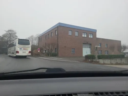

Fotografie-Forum der StädteRegion Aachen
Museum · 6.4 km


Troistorff House
Monument and historic site · 6.5 km
18 Laufenstraße, Monschau


1944 Hürtgen Forest Museum
Museum · 10.8 km
Peace museum in Hürtgen Forest


185 more on the map.
Parks, trails and playgrounds59


Belgenbachtal mit Seilfertsief, Drossel- und Holzbachtal
Hiking and trails · 2.9 km

Brombachtal und Brommersbachtal mit Nebenbach
Hiking and trails · 3.0 km


Dreilägerbach mit Vorbecken und Steinbach
Hiking and trails · 6.9 km

Eifel National Park
Park · 9.6 km
National park in North Rhine-Westphalia, Germany


Erkensruhrtal mit Nebenbächen und Felsen am Oberseeufer
Hiking and trails · 6.1 km

47 more on the map.
Restaurants and cafes122

Felsenkeller Brauerei
Bar and pub · 7.0 km
2, 4, 6 Sankt-Vither-Straße, Monschau
Tu-Su 11:00+; Mo off
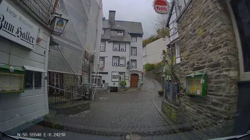

Schnabuleum
Restaurant · German, Mustard · 6.0 km
118 Laufenstraße, Monschau
Tu-Su 11:30-14:30, 17:30-22:00
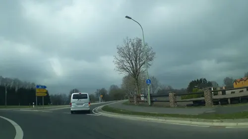

Café Haus am Obersee ( klein Paris )
Cafe · Coffee Shop · 6.6 km
1 Hannesauel, Simmerath
Mo,Fr 12:00-17:30 "Nur bei Terassenwetter!"; Sa,Su,PH 11:00-17:30;...
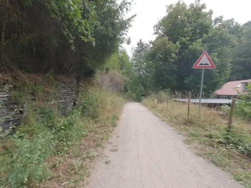
Café-Bistro Grünental
Restaurant · Regional, Sandwich, Coffee Shop · 4.2 km
1 Grünental, Monschau
Jul-Aug: We 11:30-17:00, Th 11:30-17:00, Fr-Su 11:30-22:00
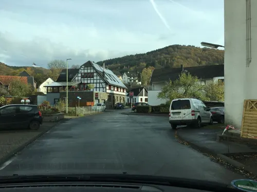
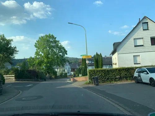
Genießer Wirtshaus
Restaurant · Regional · 5.9 km
15 Hövel, Simmerath
Th 18:00-22:00; Fr-Su 12:00-15:00, 18:00-22:00
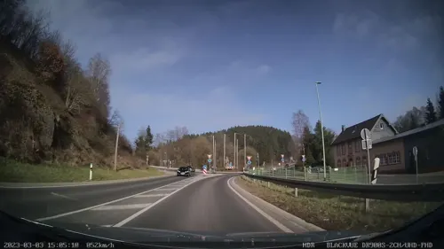

Moss
Bakery · 3.7 km
Unser Café bereichert seit Herbst 2016 das Angebot am "Baumarkt an der Linde" in Imgenbroich. Seitlich des Haupteingangs finden Sie uns...
201 Trierer Straße, Monschau
Mo-Fr 06:00-18:00; Sa 06:00-15:00; Su 07:30-13:00
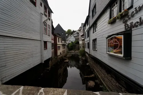


Am Nassenhof
Restaurant · Regional · 7.1 km
80 Eupener Straße, Monschau
"der Saal ist buchbar"
110 more on the map.
Where to stay68
Achat Hotel Monschau
Motel and hotel · 6.3 km
82 Laufenstraße, Monschau
DJH Jugendherberge Simmerath-Rurberg für Natur- und Abenteuersport
Motel and hotel · 5.1 km
1 Jugendherberge, Simmerath
Churches and places of worship55
Pfarrei St. Johannes der Täufer Lammersdorf
Church · Roman Catholic · 3.8 km
35 Kirchstraße, Simmerath
St. Bartholomäus
Church · Roman Catholic · 4.4 km
15 Dedenborner Straße, Simmerath
St. Johann Baptist
Church · Roman Catholic · 0.8 km
Kirchplatz, Simmerath
Shopping25
Gas and EV charging11
Schools, colleges and libraries13
Healthcare8
Allgemeinpsychiatrische Tagesklinik Simmerath
Clinic and pharmacy
8 Kammerbruchstraße, Simmerath
Map of Simmerath
250 places. The map loads OpenStreetMap tiles when you open it.
Getting there and nearby towns
Flugplatz Würselen-Aachen (AAH) is the nearest airport with scheduled flights listed in OpenStreetMap, 26 km away.
- Monschau 7 km southwest, about 7 min by car
- Schleiden 15 km southeast, about 15 min by car
- Nideggen 17 km northeast, about 17 min by car
- Stolberg 20 km north, about 20 min by car
- Kall 20 km east, about 20 min by car
- Aachen 25 km northwest, about 25 min by car
- Eschweiler 24 km north, about 24 min by car
- Mechernich 25 km east, about 25 min by car
- Langerwehe 24 km north, about 24 min by car
- Düren 26 km northeast, about 26 min by car
Drive times are estimates from straight-line distance, not routes.
Local news
Headlines from INDB.
Reviews, tips and questions
Loading what members have shared...
Sources and licences
- GeoNames (CC BY 4.0): population, coordinates, regions and time zone
- Mapillary (see each image): photos
- OpenStreetMap contributors (ODbL 1.0): places, airports, map data
- Wikidata (CC0 1.0): elevation, founding date, time zone, website, landmarks and historic places
- Wikimedia Commons (see each image): photos
- Wikipedia (CC BY-SA 4.0): overview and history text
Photo credits
- Simmerath, die Pfarrkirche Dm26 foto3 2016-09-09 13.05, Michielverbeek, CC BY-SA 4.0
- Mariengrotte am Tiefenbach, Simmerath (2), ArthurMcGill, CC BY-SA 4.0
- Simmerath Bruchsteinkapelle Bruchstr Lindenstr Bild 2, Lodda Eich, CC BY 4.0
- Simmerath Bruchsteinkapelle Bruchstr Lindenstr, Steffen Heinz ( Caronna ( talk )), CC BY-SA 3.0
- Bruchsteinkapelle Bruchstraße 32, Simmerath, ArthurMcGill, CC BY-SA 4.0
- WK Dohmenstraße 12, Simmerath, ArthurMcGill, CC BY-SA 4.0
- Simmerath Huppenbroich Wegekreuz Hahnbüchelsweg vor Baumreihe, Lodda Eich, CC BY 4.0
- Simmerath Kreuz Bruchstr Sportplatzweg, Steffen Heinz ( Caronna ( talk )), CC BY-SA 3.0
- Simmerath Kreuz Bruchstraße-Sportplatzsstraße Bild 1, Lodda Eich, CC BY 4.0
- Simmerath Kreuz Bruchstraße-Sportplatzsstraße Bild 2, Lodda Eich, CC BY 4.0
- WK Bruchstraße-Sportplatzstraße, Simmerath, ArthurMcGill, CC BY-SA 4.0
- Wk Bruchstraße-Sportplatzstraße, Simmerath, Plaketteninschrift, ArthurMcGill, CC BY-SA 4.0
- Gedenksäule Dr. Fritz, Simmerath, ArthurMcGill, CC BY-SA 4.0
- Simmerath Huppenbroich Wegekreuz Tiefenbachtalstraße Abzweig Hahnbüchelsweg, Lodda Eich, CC BY 4.0
- Sömmer Kraremann Klaus Gehlen Hauptstrasse Simmerath, Brbbl, CC BY-SA 3.0
- Simmerath Huppenbroich Wegekreuz am Weg oberhalb des Grillplatzes, Lodda Eich, CC BY 4.0
- WK Bickerather Straße 19, Simmerath, ArthurMcGill, CC BY-SA 4.0
- Wk Kranzbruch, Simmerath, Heckkreuz (2), ArthurMcGill, CC BY-SA 4.0
- WK Kranzbruch, Simmerath, Heckkreuz, ArthurMcGill, CC BY-SA 4.0
- Simmerath Bickerather Str 31, Caronna, CC BY-SA 3.0
- Simmerath Huppenbroich - Fledermaushöhle 1, Lodda Eich, CC BY-SA 4.0
- Simmerath Huppenbroich - Fledermaushöhle 2, Lodda Eich, CC BY-SA 4.0
- Vossenackmurp, Travus, CC BY-SA 3.0
- Tussen Einruhr en Kesternich, der Eiserbachtal positie2 foto6 2016-09-09 14.11, Michielverbeek, CC BY-SA 4.0
- Laufenstraße 18 - Monschau - Haus Troistorff 02, H. Zell, CC BY-SA 3.0
- Westwall-Bunker Rastatt (1), Stefan Karl, CC BY-SA 4.0
- Rotes Haus, Monschau (2025), ArthurMcGill, CC BY-SA 4.0
- Steling Eifelberg, Steffen Heinz (Caronna), CC BY-SA 2.0 de
- St. Mariä Geburt, Monschau (1), ArthurMcGill, CC BY-SA 4.0
- Monschau Laufenstraße 116 - 124 Gebäude 1, Caronna, CC BY-SA 3.0
- NSG Brückborn-Kranzbruch (4), ArthurMcGill, CC BY-SA 4.0
- Vorbecken Dreilägertalspeerre, Roetgen (7), ArthurMcGill, CC BY-SA 4.0
- NSG Buchenwald am Letgenbruch, Monschau (7), ArthurMcGill, CC BY-SA 4.0
- Erkensruhr valley near Leykaul 03, Leonhard Lenz, CC0
- NSG Eiserbachtal (13), ArthurMcGill, CC BY-SA 4.0
- WK Scherfersrott, Belgenbacher Tal (2), ArthurMcGill, CC BY-SA 4.0
- St. Bartholomäus (Mützenich) 30, Thomas Hummel, CC BY-SA 4.0
- St Cornelius kerk in Monschau-Rohren - panoramio, E v Schoonhoven, CC BY 3.0
- St. Lucia (Eicherscheid) 06, Thomas Hummel, CC BY-SA 4.0
- Monschau, Aukirche St. Mariä Empfängnis (5), ArthurMcGill, CC BY-SA 4.0
- Standort Simmerath, BetreutesInternet, CC BY-SA 4.0
- Muetzenich - Ringstrasse 4, Caronna, CC BY-SA 4.0
- Monschau, CN-019, 2011-08-31, kaʁstn Disk / Cat, CC BY-SA 3.0 de
- Haller Monschau, Sneecs Roland Struwe, CC BY 3.0
- Kampfraum Bunker 131, Buhlert (6), ArthurMcGill, CC BY-SA 4.0
- Kampfraum Bunker 132, Buhlert (2), ArthurMcGill, CC BY-SA 4.0
- NSG Belgenbach, Xjvolker, CC BY-SA 4.0
- Belgenbacher Mühle (5), ArthurMcGill, CC BY 3.0
- NSG Brom- und Brommersbachtal (2), ArthurMcGill, CC BY-SA 4.0
- NSG Brückborn-Kranzbruch (3), ArthurMcGill, CC BY-SA 4.0
- Erkensruhr valley near Leykaul 04, Leonhard Lenz, CC0
- NSG Donnerbruch, Lammersdorf, ArthurMcGill, CC BY-SA 4.0
- Vorbecken Dreilägerbach-Talsperre Roetgen, awi in rott, CC BY-SA 4.0
- NSG Eiserbachtal (8), ArthurMcGill, CC BY-SA 4.0
- Hirschrott 08, Leonhard Lenz, CC0
- St. Vither Straße 6-8, Monschau, ArthurMcGill, CC BY-SA 4.0
- Senfmühle Monschau (1), ArthurMcGill, CC BY-SA 4.0
- Muetzenich - Eupener Strasse 80, Caronna, CC BY-SA 4.0
- Monschau, Burg Monschau-jeugdherberg Dm12 foto4 2015-04-16 09.46, Michielverbeek, CC BY-SA 4.0
- Tuchfabrik Troistorff, Monschau, ArthurMcGill, CC BY-SA 4.0
- Monschau, kerk op plein foto4 2011-03-23 13.29, Michielverbeek, CC BY-SA 3.0
- Lammersdorf, kerk foto19 2011-03-23 15.09, Michielverbeek, CC BY-SA 3.0
- Evangelische Stadtkirche in Monschau Bild 2, Alf van Beem, Public domain
- Konzen Pankratius Kapelle, Caronna, CC BY-SA 4.0
- St. Cornelius (Rohren) 01, Thomas Hummel, CC BY-SA 4.0
- St. Bartholomäus (Hammer) 04, Thomas Hummel, CC BY-SA 4.0
- Simmerath, kerk foto7 2011-03-23 144.33, Michielverbeek, CC BY-SA 3.0
- St. Mariä Geburt, Monschau (3), ArthurMcGill, CC BY-SA 4.0
- Simmerath Steckenborn Kirche, Caronna, CC BY-SA 3.0
- St. Bartholomäus (Mützenich) 01, Thomas Hummel, CC BY-SA 4.0
- St. Lucia (Eicherscheid) 01, Thomas Hummel, CC BY-SA 4.0
- St. Michael (Dedenborn) 03, Thomas Hummel, CC BY-SA 4.0
- NSG Feuerbach-Laufenbach, Nordabschnitt (1), ArthurMcGill, CC BY-SA 4.0
- Bauernmuseum Lammersdorf, Steffen Heinz Caronna, CC BY 3.0
- Street-level photo, Hightower-, CC BY-SA 4.0
- Street-level photo, tobiasreg, CC BY-SA 4.0
- Street-level photo, hektor1989, CC BY-SA 4.0
- Street-level photo, madel, CC BY-SA 4.0
- Street-level photo, noel, CC BY-SA 4.0
- Street-level photo, noel, CC BY-SA 4.0
- Street-level photo, txllxt, CC BY-SA 4.0
- Street-level photo, Hightower-, CC BY-SA 4.0
- Street-level photo, map_dav, CC BY-SA 4.0
- Street-level photo, noel, CC BY-SA 4.0
- Street-level photo, noel, CC BY-SA 4.0
- Street-level photo, map_dav, CC BY-SA 4.0
- Street-level photo, walldi222, CC BY-SA 4.0
- Street-level photo, walldi222, CC BY-SA 4.0
- Street-level photo, walldi222, CC BY-SA 4.0
- Street-level photo, tobiasreg, CC BY-SA 4.0
- Street-level photo, jeroenrozema74, CC BY-SA 4.0
- Street-level photo, tobiasreg, CC BY-SA 4.0
- Street-level photo, Hightower-, CC BY-SA 4.0
- Street-level photo, hektor1989, CC BY-SA 4.0
- Street-level photo, mprins, CC BY-SA 4.0
- Street-level photo, hektor1989, CC BY-SA 4.0
- Street-level photo, hektor1989, CC BY-SA 4.0
- Street-level photo, hektor1989, CC BY-SA 4.0
- Street-level photo, txllxt, CC BY-SA 4.0
- Street-level photo, hektor1989, CC BY-SA 4.0


Page built November 9, 2026. Spotted a mistake? Tell us or suggest a place.