


Schleiden, Germany
Schleiden is a town of 14,160 people in North Rhine-Westphalia, Germany.
Why visit Schleiden
Townapedia lists 132 museums and landmarks, 54 parks and trails, 83 places to eat, 49 places to stay and 30 attractions in and around town.
Highlights include Wildfreigehege Hellenthal, Observatory, Ehem. Ausweichsitz der Landesregierung NRW and Rotkreuzmuseum Vogelsang IP.
Weather in Schleiden
Forecast from MET Norway (CC BY 4.0). Full forecast
About Schleiden
Schleiden (German pronunciation: [ˈʃlaɪdn̩] ) is a town in North Rhine-Westphalia, Germany. It lies in the Eifel hills, in the district of Euskirchen, and has 12,998 inhabitants as of 30 June 2017. Schleiden is connected by a tourist railway to Kall, on the Eifel Railway between Cologne and Trier. The town consists of 18 settlements, the largest of which are Gemünd and Schleiden proper.
From the Wikipedia article Schleiden (this version), under CC BY-SA 4.0.
Things to do30

Wildfreigehege Hellenthal
Zoo and aquarium · 4.7 km
1 Wildgehege, Hellenthal
Apr-Oct Mo-Su, PH 09:00-18:00; Nov-Mar Mo-Su, PH 10:00-16:00


18 more on the map.
Museums and landmarks132

Ehem. Ausweichsitz der Landesregierung NRW
Museum · 7.5 km
Ehemaliger Atombunker der NRW Landesregierung
1 Am Gillesbach, Kall
Sa 16:00-18:00


Burg Marmagen
Monument and historic site · 9.1 km
12 Burgstraße, Nettersheim


Eifel Aqueduct
Monument and historic site · 9.6 km
Aqueduct in the Eifel region of the Roman Empire

Ordensburg Vogelsang
Museum · 6.5 km
Former Nazi elite school in Germany

Barrierefreier Landschaftspfad
Monument and historic site · 8.4 km
1 Dr. Konrad-Adenauer-Straße, Nettersheim

Burg Dreiborn
Monument and historic site · 4.6 km
33 Kirchstraße, Schleiden

120 more on the map.
Parks, trails and playgrounds54

Erlebnisfreibad Dieffenbach
Sports field and stadium · 0.7 km
Im Wiesengrund, Schleiden
Mo-Fr 09:30-19:00; Sa-Su 09:00-19:00

Bachtäler im Truppenübungsplatz Vogelsang
Hiking and trails · 7.8 km



Eifel National Park
Park · 10.2 km
National park in North Rhine-Westphalia, Germany

Erkensruhrtal mit Nebenbächen und Felsen am Oberseeufer
Hiking and trails · 8.7 km
Hänge und Seitentäler des Oleftals zwischen Gemünd und Schleiden
Hiking and trails · 3.7 km
42 more on the map.
Restaurants and cafes83
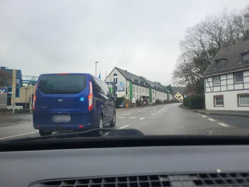
Alte Rentei
Restaurant · Cafe, Regional, Burger, German
39 Am Markt, Schleiden
Fr,Sa,PH 17:00-22:00; Su 12:00-15:00,17:00-22:00; Tu,We off
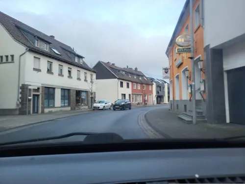
Ali's Pizzeria
Restaurant · Pizza · 5.0 km
64 Kölner Straße, Hellenthal
Tu-Th 11:00-22:00; Fr-Sa 11:00-23:00; Su,PH 12:00-22:00

Gemünder Brauhaus
Restaurant · German · 5.2 km
22 Dreiborner Straße, Schleiden
Mo-Th 17:00-22:00; Tu off; Fr-Su 12:00-22:00
Oliva Kall
Restaurant · Greek · 7.0 km
63A Hüttenstraße, Kall
Tu,Fr,Sa,Su 12:00-22:00; We,Th 17:00-22:00
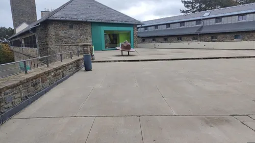
Panorama Restaurant
Restaurant · Regional · 6.7 km
70 Vogelsang
Mo-Fr 11:00-17:00; Sa,Su,PH 10:00-17:00
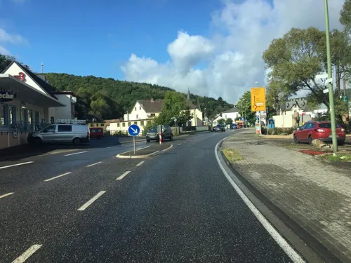

Bauerncafé Morsbacher Hof
Cafe · 4.5 km
20 Morsbach, Schleiden
Apr-Oct: Th-Mo 09:00-18:00; Nov-Mar: Fr-Mo 09:00-18:00
Bäckerei Jenniches - Café „Aha”
Bakery · 7.2 km
16 Siemensring, Kall
Mo-Fr 07:00-19:00; Sa 07:00-16:00


71 more on the map.
History
In the Middle Ages and early modern times, Schleiden was the centre of a lordship, later the County of Schleiden, which itself was part of the Duchy of Luxembourg, from 1441/43 as part of the Burgundian Netherlands (first under the Burgundians, then the Habsburgs). After the division of the Netherlands, the Duchy of Luxembourg with Schleiden remained as part of the Spanish line of the Habsburgs. After the War of Spanish Succession, the Duchy of Luxembourg, along with Schleiden, went to the Austrian line of the House of Habsburg. When revolutionary France conquered the Austrian Netherlands in 1794/95, the Duchy of Luxembourg was quickly divided into the three French departments: Forêts, Sambre-et-Meuse and Ourthe. Schleiden was in Ourthe (capital: Liege). At the Vienna Congress of 1815, the formerly Luxembourgian areas east of the Our, Sauer and Moselle rivers were given to the Kingdom of Prussia. Thus, Schleiden became "Prussian" and, in 1871, part of the German Empire after having belonged to the Duchy of Luxembourg for centuries.
The small town of Schleiden has produced two important Christian humanists: Johannes Sleidanus and Johannes Sturm, also known as Ioannes Sturmius.
From the History section of Schleiden on Wikipedia, under CC BY-SA 4.0.
Where to stay49
DJH Jugendherberge Gemünd Vogelsang im Nationalpark Eifel
Motel and hotel · 5.7 km
9 Im Wingertchen, Schleiden
DJH Jugendherberge Hellenthal - Erlebnispädagogik- und Outdoor-Zentrum
Motel and hotel · 6.7 km
3 Platiß, Hellenthal
Churches and places of worship45
Basilika St. Potentinus, Felicius und Simplicius
Church · Roman Catholic · 6.8 km
4 Hermann-Josef-Straße, Kall
Shopping26
Gas and EV charging7
Schools, colleges and libraries18
St. Nikolaus Schule - Förderschule mit dem Förderschwerpunkt Geistige Entwicklung
School · 5.5 km
9 Weiherbenden, Kall
Healthcare8
Map of Schleiden
250 places. The map loads OpenStreetMap tiles when you open it.
Getting there and nearby towns
Flugplatz Würselen-Aachen (AAH) is the nearest airport with scheduled flights listed in OpenStreetMap, 39 km away.
- Zülpich 22 km northeast, about 22 min by car
- Stolberg 32 km northwest, about 32 min by car
- Weilerswist 36 km northeast, about 36 min by car
- Aachen 39 km northwest, about 39 min by car
- Würselen 40 km northwest, about 40 min by car
- Wachtberg 45 km east, about 45 min by car
- Wesseling 48 km northeast, about 48 min by car
- Bonn 49 km northeast, about 49 min by car
- Übach-Palenberg 50 km northwest, about 50 min by car
- Köln 56 km northeast, about 56 min by car
Drive times are estimates from straight-line distance, not routes.
Local news
Headlines from INDB.
Reviews, tips and questions
Loading what members have shared...
Sources and licences
- GeoNames (CC BY 4.0): population, coordinates, regions and time zone
- Mapillary (see each image): photos
- OpenStreetMap contributors (ODbL 1.0): places, airports, map data
- Wikidata (CC0 1.0): elevation, founding date, time zone, website, landmarks and historic places
- Wikimedia Commons (see each image): photos
- Wikipedia (CC BY-SA 4.0): overview and history text
Photo credits
- Schleiden 001-, Wolkenkratzer, CC BY-SA 4.0
- Am Markt, Schleiden - geo.hlipp.de - 6856, Colin Smith, CC BY-SA 2.0
- Schleiden03 - panoramio, Jakkes, CC BY-SA 3.0
- Altstadt, Schleiden - geo.hlipp.de - 6857, Colin Smith, CC BY-SA 2.0
- Am Driesch, Schleiden - geo.hlipp.de - 6853, Colin Smith on geo.hlipp.de, CC BY-SA 2.0
- Schleiden, Burg - geo.hlipp.de - 6859, Colin Smith on geo.hlipp.de, CC BY-SA 2.0
- Bahnhof schleiden, No machine-readable author provided. User:Ratheimer~commonswiki assumed (based on copyright claims)., CC BY-SA 3.0
- Eifelwasserleitung05, Putput, CC BY-SA 3.0
- Tussen Einruhr en Kesternich, der Eiserbachtal positie2 foto6 2016-09-09 14.11, Michielverbeek, CC BY-SA 4.0
- Burg Vogelsang, VoWo, CC BY-SA 3.0
- Atombunker in Urft (10564312753), Dirk Vorderstraße, CC BY 2.0
- Klooster Steinfeld, toegangspoort, RomkeHoekstra, CC BY-SA 4.0
- Marmagen Alte Burg, Pfir, CC BY-SA 3.0
- Burg Reifferscheid 002-, Wolkenkratzer, CC BY-SA 4.0
- Wildgehege Hellenthal 01, Thomas Hummel, CC BY-SA 4.0
- Museum Nacht Front-Tür-Mittel, Drkeuwiki, CC BY-SA 3.0
- Schleiden Schloss Schlosskirche Gesamt 1, Gordito1869, CC BY 3.0
- Burg Dalbenden 005-, Wolkenkratzer, CC BY-SA 4.0
- St. Barbara (Krekel), Chris06, CC BY-SA 4.0
- Erkensruhr valley near Leykaul 03, Leonhard Lenz, CC0
- View from trail from Gierberg to Müsauelsberg in September 2019 66, Leonhard Lenz, CC0
- St. Anna (Hellenthal) (01), Chris06, CC BY-SA 4.0
- Evangelische Kirche (Hellenthal), Chris06, CC BY-SA 4.0
- Marmagen, Burg Marmagen, Elya, CC BY-SA 3.0
- Schloss Dreiborn, Venetianer, CC BY-SA 3.0
- Erkensruhr valley near Leykaul 04, Leonhard Lenz, CC0
- Hirschrott 08, Leonhard Lenz, CC0
- St. Rochus, Wollseifen 2021, ArthurMcGill, CC BY 3.0
- Erkensruhr Chapel, Gabriele Delhey, CC BY-SA 3.0
- Kloster Steinfeld 004-, Wolkenkratzer, CC BY-SA 4.0
- Atombunker in Urft (10564661413), Dirk Vorderstraße, CC BY 2.0
- Schleiden, Schlosskirche am Schlossberg, Thomas Hummel, CC BY-SA 4.0
- Wüstebach 13, Leonhard Lenz, CC0
- Erkensruhrtal, Steffen Heinz Caronna, CC BY 3.0
- Monschau Hollersief Blick nach Osten, Assenmacher, CC BY-SA 4.0
- Olef-St Johann Baptist-Kreuzweg-09-Jesus faellt zum dritten Mal unter dem Kreuz-2024-gje, Gerd Eichmann, CC BY 4.0
- Olef-St Johann Baptist-Kreuzweg-10-Jesus wird seiner Kleider beraubt-2024-gje, Gerd Eichmann, CC BY 4.0
- Fire-fighting-facility node-5236141690, Davefx06, CC BY 2.0
- Dorfhaus-broich, A.Savin, CC BY-SA 3.0
- Gemuend-124-Dreiborner Str-Nr22-KunstForumEifel-2024-gje, Gerd Eichmann, CC BY 4.0
- Street-level photo, walldi222, CC BY-SA 4.0
- Street-level photo, walldi222, CC BY-SA 4.0
- Street-level photo, raymond, CC BY-SA 4.0
- Street-level photo, jeroenrozema74, CC BY-SA 4.0
- Street-level photo, walldi222, CC BY-SA 4.0
- Street-level photo, walldi222, CC BY-SA 4.0
- Street-level photo, marczoutendijk, CC BY-SA 4.0
- Street-level photo, raymond, CC BY-SA 4.0
- Street-level photo, trockennasenaffe, CC BY-SA 4.0
- Street-level photo, trockennasenaffe, CC BY-SA 4.0
- Street-level photo, joostjakob, CC BY-SA 4.0
- Street-level photo, madel, CC BY-SA 4.0


Page built November 8, 2026. Spotted a mistake? Tell us or suggest a place.