
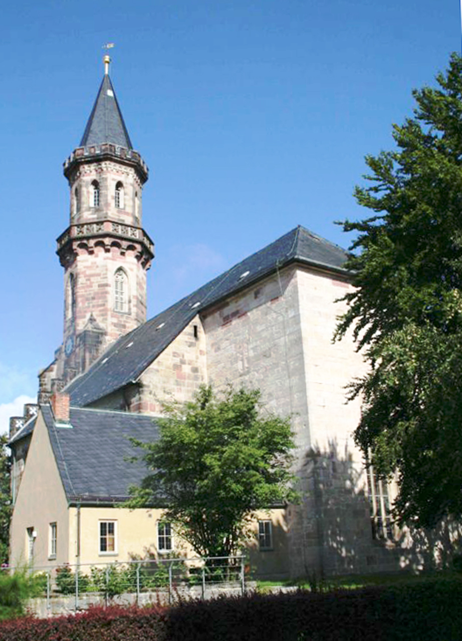


Neustadt bei Coburg, Germany
Neustadt bei Coburg is a town of 14,824 people in Bavaria, Germany.
Why visit Neustadt bei Coburg
Townapedia lists 54 museums and landmarks, 37 parks and trails, 125 places to eat, 9 places to stay and 40 attractions in and around town.
Highlights include Itztalbrücke, Eichberg, Deutsches Spielzeugmuseum and Burgruine Fürth am Berg.
Weather in Neustadt bei Coburg
Forecast from MET Norway (CC BY 4.0). Full forecast
About Neustadt bei Coburg
Neustadt bei Coburg (German pronunciation: [ˈnɔʏʃtat baɪ ˈkoːbʊʁk] , lit. 'New Town near Coburg'; officially Neustadt b. Coburg) is a town in the district of Coburg in northern Bavaria, Germany. It is situated 15 km northeast of Coburg, as its name indicates.
From the Wikipedia article Neustadt bei Coburg (this version), under CC BY-SA 4.0.
Things to do40



28 more on the map.
Museums and landmarks54


Schloss Rosenau
Monument and historic site · 7.8 km
Castle near the town of Rödental, Bavaria, Germany

Bildungsstätte Innerdeutsche Grenze
Museum
22 Bahnhofstraße, Neustadt bei Coburg
Mo,Th 08:30-12:30,13:30-16:00; Tu 08:30-12:00,14:00-18:00; We...


Deutsches Teddybären Museum
Museum · 5.1 km
29 Bahnhofstraße, Sonneberg
Mo,Su off, Tu-Th 10:30-16:00,Fr,Sa 10:30-13:00

Freysoldts-Ruh "Steinsbank"
Monument and historic site · 6.3 km
Die Freysoldts-Ruh, heute auch "Steinsbank" genannt, ist ein Ausflugsziel oberhalb der Sonneberger Altstadt mit schöner Fernsicht. (1925...

42 more on the map.
Parks, trails and playgrounds37

Bademehr Familienbad
Sports field and stadium · 0.8 km
11 Wildenheider Straße, Neustadt bei Coburg
Tu 07:00-12:00,14:00-20:00; Mo off; We 08:00-12:00,14:00-20:00; Th...




25 more on the map.
Restaurants and cafes125
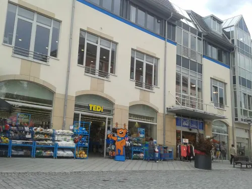
Backhaus Müller
Bakery · 5.0 km
46 Bahnhofstraße, Sonneberg
Mo-Fr 06:30-18:00; Sa 07:30-15:00; Su,PH off

Restaurant Froschgrundsee
Restaurant · German · 6.7 km
14, Rödental
May-Sep: We-Fr 11:30-22:00; Sa,Su,PH 11:30-17:00; Oct-Apr: We-Sa...
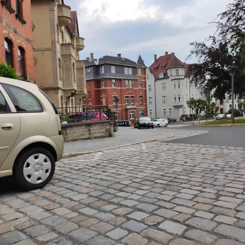
Restaurant Höbi
Restaurant · Ice Cream, German, Steak House, Burger, Regional · 5.4 km
19 Juttastraße, Sonneberg
Tu-Su 11:00-22:00
Rhodos
Restaurant · Greek · 4.5 km
82 Bettelhecker Straße, Sonneberg
Mo, We-Su 11:30-14:30, 17:30-00:00
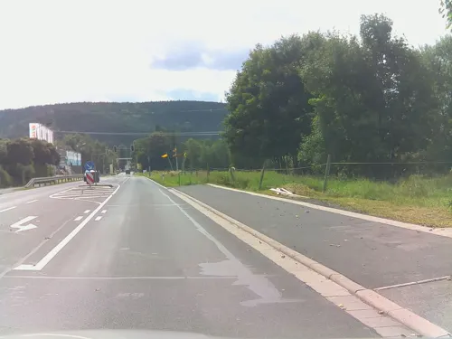
Zum grünen Baum
Cafe · German · 2.5 km
195 Neustadter Straße, Sonneberg
Fr 16:00-21:30; Sa 14:00-21:30; Su 11:00-16:30

Backhaus Nahrstedt
Bakery · 4.4 km
27 Friedrich-Ludwig-Jahn-Straße, Sonneberg
Mo-Sa 07:00-20:00; Su 07:00-10:00; PH off
Berggasthof Blockhütte
Restaurant · 6.2 km
60 Waldstraße, Sonneberg
We,Th 11:00-20:00; Fr,Sa 11:00-24:00; Su 11:00-19:00



113 more on the map.
Where to stay9
Jugendfreizeitzentrum Am Weinberg
Motel and hotel · 5.6 km
31 Hohe Wart, Rödental
Churches and places of worship17
Evang.-Luth. Pfarramt Wildenheid-Meilschnitz
Church · Lutheran · 2.1 km
16 Friedensstraße, Neustadt bei Coburg
Haus der Begegnung
Church · Lutheran · 1.6 km
22 Kriegersäcker, Neustadt bei Coburg
Shopping25
Gas and EV charging12
Schools, colleges and libraries20
Staatliches Gymnasium „Hermann Pistor“ Sonneberg (Schulteil Lohauschule)
School · 4.9 km
10 Oberlinder Straße, Sonneberg
Healthcare16
Map of Neustadt bei Coburg
250 places. The map loads OpenStreetMap tiles when you open it.
Getting there and nearby towns
Verkehrslandeplatz Hof-Plauen (HOQ) is the nearest airport with scheduled flights listed in OpenStreetMap, 52 km away.
- Bad Staffelstein 27 km south, about 27 min by car
- Schwarzenbach an der Saale 59 km east, about 59 min by car
- Rehau 66 km east, about 1 h by car
- Schweinfurt 71 km southwest, about 1 h 15 min by car
- Pegnitz 71 km southeast, about 1 h 15 min by car
- Wunsiedel 71 km southeast, about 1 h 15 min by car
- Erfurt 72 km north, about 1 h 15 min by car
- Jena 74 km northeast, about 1 h 15 min by car
- Selb 74 km east, about 1 h 15 min by car
- Erlangen 83 km south, about 1 h 30 min by car
Drive times are estimates from straight-line distance, not routes.
Local news
Headlines from INDB.
Reviews, tips and questions
Loading what members have shared...
Sources and licences
- GeoNames (CC BY 4.0): population, coordinates, regions and time zone
- Mapillary (see each image): photos
- OpenStreetMap contributors (ODbL 1.0): places, airports, map data
- Wikidata (CC0 1.0): elevation, founding date, time zone, website, landmarks and historic places
- Wikimedia Commons (see each image): photos
- Wikipedia (CC BY-SA 4.0): overview and history text
Photo credits
- Neustadt-Co-Stadtkirche, Störfix, CC BY-SA 3.0
- Öffentlicher Bücherschränk - Neustadt bei Coburg, Andreas Koch 1, CC BY-SA 4.0
- Stolperstein für Richard Löwenherz (Neustadt bei Coburg), Christian Michelides, CC BY-SA 4.0
- Stolperstein für Dagmar Löwenherz (Neustadt bei Coburg), Christian Michelides, CC BY-SA 4.0
- Stolperstein für Bernhard Jena (Neustadt bei Coburg), Christian Michelides, CC BY-SA 4.0
- Stolperstein in Neustadt bei Coburg (Neustadt bei Coburg), Christian Michelides, CC BY-SA 4.0
- Itztalbruecke-Sept2007, Störfix, CC BY-SA 3.0
- Schloss Rosenau 1900, Unknown author Unknown author, Public domain
- Arnold-Gymnasium, Daniel Mex, CC BY 2.5
- Sonneberg Spielzeugmuseum 01, ErwinMeier, CC BY-SA 4.0
- Muppberg vom Generalsblick aus, Thilo Langbein, CC BY-SA 2.0 de
- Burg-Fürth-am-Berg2, Störfix, CC BY-SA 3.0 de
- Korberoth, Giorno2, CC BY 4.0
- Sonneberg-St-Peter, Störfix, CC BY-SA 3.0 de
- Oberlind-Ev-Kirche, Störfix, CC BY-SA 3.0 de
- Gefell-St.Nikolaus, Störfix, CC BY-SA 3.0 de
- Mupperg-Kirche, Störfix, CC BY-SA 3.0
- Effelder-Kirche, Störfix, CC BY-SA 3.0
- Sonneberg-St-Stephan, Störfix, CC BY-SA 3.0 de
- Neustadt-St.Georg01, Störfix, CC BY-SA 3.0 de
- Mönchröden-Christuskirche-02, Störfix, CC BY-SA 3.0 de
- Wildenheid-Friedenskirche, Störfix, CC BY-SA 3.0 de
- Haarbrücken-Ev-Kirche, Störfix, CC BY-SA 3.0
- Effelder-Tanzlinde, Störfix, CC BY-SA 3.0 de
- Meilschnitzwiesen, Störfix, CC BY-SA 3.0 de
- Heilig-Geist-Kirche Mupperg Westansicht, Huuuuh, CC0
- Sonneberg-St-Peter-01, Störfix, CC BY-SA 3.0 de
- Gefell-Ansicht von Südosten mit Torturm und Kirchhofmauer-29122012, Robert Pietschmann, CC BY-SA 4.0
- Effelder St. Kilian 01, ErwinMeier, CC BY-SA 4.0
- Neustadt-bC-Eisfelderstr1a, Störfix, CC BY-SA 3.0
- Neustadt-bC-Friedhof 01, Störfix, CC BY-SA 3.0
- Neustadt-bC-Friedhof 02, Störfix, CC BY-SA 3.0
- Neustadt-bC-Leichenhaus, Störfix, CC BY-SA 3.0
- Neustadt-bC-Ketschenbacherstr4, Störfix, CC BY-SA 3.0
- Neustadt b.C. St. Georg 01, ErwinMeier, CC BY-SA 4.0
- Kirche Neustadt - panoramio, holger mohaupt, CC BY-SA 3.0
- Neustadt-bC-Goethestr9, Störfix, CC BY-SA 3.0
- Neustadt-bC-Marienstr.2, Störfix, CC BY-SA 3.0 de
- Neustadt-bC-Marienstr.8, Störfix, CC BY-SA 3.0 de
- Neustadt-bC-Dr.M.Lutherstr12, Störfix, CC BY-SA 3.0
- Sonneberg Altes Rathaus 01, ErwinMeier, CC BY-SA 4.0
- Street-level photo, msdess, CC BY-SA 4.0
- Street-level photo, ramap, CC BY-SA 4.0
- Street-level photo, ramap, CC BY-SA 4.0
- Street-level photo, bernd_niemann, CC BY-SA 4.0
- Street-level photo, bernd_niemann, CC BY-SA 4.0
- Street-level photo, ramap, CC BY-SA 4.0
- Street-level photo, bernd_niemann, CC BY-SA 4.0


Page built November 8, 2026. Spotted a mistake? Tell us or suggest a place.