


Why visit Oppenheim
Townapedia lists 22 museums and landmarks, 19 parks and trails, 86 places to eat, 16 places to stay and 4 attractions in and around town.
Highlights include Deutsches Weinbaumuseum, Uhrturm, Oppenheimer Wäldchen and Eiskarb.
Weather in Oppenheim
Forecast from MET Norway (CC BY 4.0). Full forecast
About Oppenheim
Oppenheim (German: [ˈɔpn̩haɪm] or [ˈɔpm̩haɪm]) is a town in the Mainz-Bingen district of Rhineland-Palatinate, Germany.
From the Wikipedia article Oppenheim (this version), under CC BY-SA 4.0.
Travel tips from other travellers: Oppenheim on Wikivoyage (CC BY-SA 4.0).
Photos of Oppenheim


Things to do4




Museums and landmarks22



Gedenkstein für die Kornsand-Opfer
Monument and historic site · 1.9 km

ehemaliges Dalberg-Herdingsches Schloss
Monument and historic site · 2.7 km
15 Rheinstraße, Nierstein
10 more on the map.
Parks, trails and playgrounds19






7 more on the map.
Restaurants and cafes86
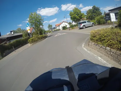
Zum Siliusstein Dienheim
Restaurant · Italian · 1.5 km
Gut bürgerliche und mediterrane Küche. Ständige saisonabhängige Tagesempfehlungen. Antipasti - Pizza - Pasta -Fleischgerichte
37 Saarstraße
Mo off; Tu-We 17:00-23:00; Th-Sa 17:00-22:30; Su 11:00-14:00,17:00-22:30
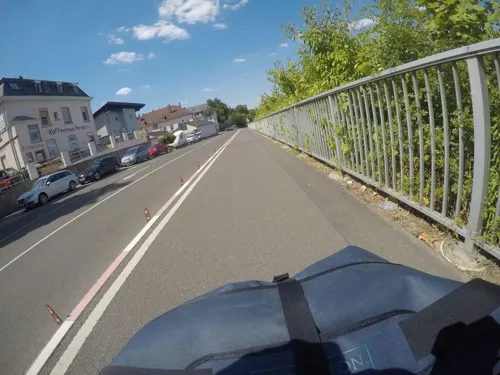
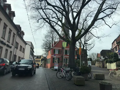
Kleins Vinum Gutsausschank
Restaurant · 2.8 km
Winteröffnungszeiten; Ostern geschlossen
2 Saalpförtchen, Nierstein
Fr 18:00-22:00; Sa 18:00-22:00; Su 16:00-22:00
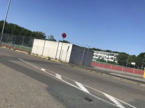
Pizzeria Adria
Restaurant · Pizza, Pasta
39 Rheinstraße, Oppenheim
Mo-Fr 11:30-14:00,17:00-21:00; Sa off; Su 16:30-21:00


Gehringsweinwirtschaft
Restaurant · Regional · 2.5 km
17 Ausserhalb, Nierstein
Mo,Tu,Th 08:00-12:00,14:00-17:00; We 08:00-12:00; Fr 13:00-19:00;...
Royal Maharaja
Restaurant · Indian
22 Krämerstraße, Oppenheim
Tu-Fr 16:00-22:30; Sa-Su 12:00-15:00, 17:00-22:30; Mo off



74 more on the map.
History
In 765, the first documented mention of the Frankish village was recorded in the Lorsch Codex, in connection with an endowment by Charlemagne to the Lorsch Abbey. Further portions of Oppenheim were added to the endowment in 774. In 1008, Oppenheim was granted market rights. In October 1076 Oppenheim gained special importance in the Investiture Controversy. At the princely session of Trebur and Oppenheim, the princes called on King Henry IV to undertake the "Walk to Canossa". After Oppenheim was returned to the Empire in 1147, it became a Free Imperial City in 1225, during the Staufer Emperor Frederick II's reign. At this time, the town was important for its imperial castle and the Burgmannen who lived there.
In the 14th century, the town was pledged to the Electorate of Mainz and beginning in 1398, it belonged to the territory of the Electoral Palatinate.
In 1621, the Oppenheim town chronicle reports a great fire in which the Oppenheim Town Hall was almost completely destroyed. The Electoral Oberamt archive, too, was lost in the fire, and so it was moved to Mainz.
Read more of the history
On 14 September 1620, Spanish troops overran the town in the Thirty Years' War. The Spaniards occupied Oppenheim until 1632. In 1688, French troops overran the town in the Nine Years' War (1688–1697). On 31 May 1689, Landskrone Castle and the town were utterly destroyed by the French under General Mélac. Until 1797, Oppenheim remained an Electoral Palatinate holding. After being in French hands, Oppenheim passed, in 1816, to the Grand Duchy of Hesse-Darmstadt. It remained Hessian until 1945.
In March 1945, troops of the 3rd Army under General George S. Patton managed to build a crossing over the Rhine near Oppenheim and to occupy it.
From the History section of Oppenheim on Wikipedia, under CC BY-SA 4.0.
More about Oppenheim
Geography
The town lies on the Upper Rhine in Rhenish Hesse between Mainz and Worms. It is the seat of the Verbandsgemeinde (special administrative district).
From the Wikipedia article Oppenheim, under CC BY-SA 4.0.
Where to stay16
Churches and places of worship10
Shopping14
Gas and EV charging4
Schools, colleges and libraries9
Healthcare6
Linden-Apotheke (Oppenheim)
Clinic and pharmacy · 1.1 km
13 Sant'-Ambrogio-Ring, Oppenheim
Map of Oppenheim
190 places. The map loads OpenStreetMap tiles when you open it.
Getting there and nearby towns
Wiesbaden Army Airfield (WIE) is the nearest airport with scheduled flights listed in OpenStreetMap, 22 km away.
- Trebur 9 km northeast, about 9 min by car
- Riedstadt 10 km east, about 10 min by car
- Dornheim 9 km east, about 9 min by car
- Stockstadt am Rhein 10 km southeast, about 10 min by car
- Goddelau 10 km east, about 10 min by car
- Groß-Gerau 12 km northeast, about 12 min by car
- Ginsheim-Gustavsburg 13 km north, about 13 min by car
- Büttelborn 13 km northeast, about 13 min by car
- Nauheim 13 km northeast, about 13 min by car
- Mainz 15 km north, about 15 min by car
Drive times are estimates from straight-line distance, not routes.
Towns near Oppenheim


Local news
Headlines from INDB.
Reviews, tips and questions
Loading what members have shared...
Sources and licences
- GeoNames (CC BY 4.0): population, coordinates, regions and time zone
- Mapillary (see each image): photos
- OpenStreetMap contributors (ODbL 1.0): places, airports, map data
- Wikidata (CC0 1.0): elevation, founding date, time zone, website, landmarks and historic places
- Wikimedia Commons (see each image): photos
- Wikipedia (CC BY-SA 4.0): overview and history text
Photo credits
- Oppenheim Luftbild 101, Fritz Geller-Grimm, CC BY-SA 3.0
- Oppenheim - Kindergarten Herrnweiher von Hafenstraße, ManuelB701, CC0
- Oppenheim - Umlaufgitter vor Unterführung, ManuelB701, CC0
- Seniors Rest Home In Oppenheim, Ingolfson, Public domain
- Oppenheim - Hafenstraße, Abzweig Im Herrnweiher, ManuelB701, CC0
- Bushalt Oppenheim, Bahnhof, ManuelB701, CC0
- Bushalt Oppenheim, Bahnhof - Sprinter vor Mireo, ManuelB701, CC0
- Probus Sprinter am Oppenheimer Bahnhof, ManuelB701, CC0
- Snowy Street, Trees In Oppenheim, Ingolfson, Public domain
- Oppenheim - Hafenstraße, orangene LED-Lampe am Bushalt des Bahnhofs, ManuelB701, CC0
- Christmas Tree, Snow, Oppenheim, Ingolfson, Public domain
- Oppenheim - neuer Zolltorplatz, ManuelB701, CC0
- Oppenheim - Zolltorplatz während der Nacht, ManuelB701, CC0
- Bahnhof Oppenheim - Neue Überführung, ManuelB701, CC0
- Bahnhof Oppenheim in der Nacht, ManuelB701, CC0
- Oppenheim - Bodenbeleuchtung des Zolltorplatzes, ManuelB701, CC0
- Oppenheim - Unbeleuchteter Uhrturm in der Nacht, ManuelB701, CC0
- Oppenheim - Uhrturm in der Nacht, ManuelB701, CC0
- Oppenheim - Ausgeschaltete Ampeln an der Friedrich-Ebert-Straße, ManuelB701, CC0
- Oppenheim, Katharinenkirche und Ritterbrunnen, Dguendel, CC BY 3.0
- Oppenheim - Turmstraße in der Nacht, ManuelB701, CC0
- Oppenheim, Haus Zuckerberg 3 und Ritterbrunnen, Dguendel, CC BY 3.0
- Oppenheim - Kreuzung Turmstraße-Hohl-Vorstädterstraße-Fischergasse in der Nacht, ManuelB701, CC0
- Bahnhof Oppenheim - Mireo in der Nacht, ManuelB701, CC0
- Oppenheim - Bushalt Fährstraße, ManuelB701, CC0
- Katharinenkirche (Oppenheim), Freak-Line-Community, CC BY-SA 4.0
- Schäfer Dein Bäcker in Oppenheim, ManuelB701, CC0
- Uhrturm (Oppenheim)-01, Muck, CC BY-SA 4.0
- Uhrturm (Oppenheim)-02, Muck, CC BY-SA 4.0
- Oppenheim - Rheinstraße, Bus der 644 zum Gymnasium, ManuelB701, CC0
- Oppenheim - Rheinstraße, Bus der 646 zum Gymnasium, ManuelB701, CC0
- Uhrturm (Oppenheim)-03-Tafel, Muck, CC BY-SA 4.0
- Oppenheim, Ruprechtsturm, Ansichtskarte, Unknown author Unknown author, Public domain
- Anna von Bückenbach, Oppenheim, RSchreg, CC BY-SA 4.0
- Oppenheim, fakwurkhuzen Kramerstraße-Mainzerstraße, RomkeHoekstra, CC BY-SA 4.0
- Katarinatsjerke, Oppenheim, grêfmonumint III, RomkeHoekstra, CC BY-SA 4.0
- Katarinatsjerke, Oppenheim, wetterspijers II, RomkeHoekstra, CC BY-SA 4.0
- Katarinatsjerke, Oppenheim, wetterspijer I, RomkeHoekstra, CC BY-SA 4.0
- Katarinatsjerke, Oppenheim, grêfmonumint II, RomkeHoekstra, CC BY-SA 4.0
- Evangelische Katharinenkirche Oppenheim, Valgard, CC BY-SA 3.0
- Zeppelindenkmal (Kornsand), Muck, CC BY-SA 4.0
- 0ppenheim Weinmuseum 2009-09-06 01, paddy (Patrick-Emil Zörner), CC BY-SA 3.0
- Jubiläumsfass der MAN 1995, Hansbuerkle, CC BY-SA 4.0
- Michaelskapelle Oppenheim, Reneman, CC BY-SA 3.0
- Schwarzspecht (Dryocopus martius) im Oppenheimer Wäldchen, Orangenlikör, CC BY-SA 4.0
- Evangelische Pfarrkirche Nierstein, Bettina Vier, CC BY-SA 4.0
- Dienheim Evangelische Kirche 20100820, Rudolf Stricker, Attribution
- St Joseph (Dienheim) 02, Immanuel Giel, CC BY-SA 4.0
- Dienheim - Rheinstraße, Steinerner Stock, ManuelB701, CC0
- Uhrturm Oppenheim 2012, Felix König, CC BY 3.0
- Gautor-Oppenheim innen, Stefan Frerichs, CC BY-SA 3.0 de
- Ruprechtsturm-Oppenheim, Stefan Frerichs ( Stefan ( Diskussion ) 21:31, 9. Okt. 2012 (CEST)), CC BY-SA 3.0
- Oppenheim Burg Landskron, Kumbalam, CC0
- Oppenheim Kriegerdenkmal 1870-71 korinthische Syenitsäule, Reneman, CC BY-SA 3.0
- 0ppenheim Katharinenkirche 2009-09-05 20, paddy (Patrick-Emil Zörner), CC BY-SA 3.0
- Katholische Pfarrkirche St. Bartholomäus Seitenansicht, Reneman, CC BY-SA 3.0
- Interieur Marienkapelle in der katholischen Pfarrkirche St. Bartholomäus Oppenheim, Reneman, CC BY-SA 3.0
- Trutzturm Tafeln, Muck, CC BY-SA 4.0
- Nierstein – ehemaliges Rathaus, heute Paläontologisches Museum. Museumsgründer ist Arnulf Stapf aus Nierstein - panoramio, giggel, CC BY 3.0
- Gevrey-Chambertin-Anlage in Nierstein (1), ManuelB701, CC0
- Street-level photo, mfa, CC BY-SA 4.0
- Street-level photo, miguel_andrade, CC BY-SA 4.0
- Street-level photo, mfa, CC BY-SA 4.0
- Street-level photo, miguel_andrade, CC BY-SA 4.0
- Street-level photo, chuck, CC BY-SA 4.0
- Street-level photo, changchun1, CC BY-SA 4.0
- Street-level photo, chuck, CC BY-SA 4.0
- Street-level photo, chuck, CC BY-SA 4.0
- Street-level photo, chuck, CC BY-SA 4.0
- Street-level photo, vrantopoulos, CC BY-SA 4.0
- Street-level photo, chuck, CC BY-SA 4.0
- Street-level photo, miguel_andrade, CC BY-SA 4.0
- Street-level photo, miguel_andrade, CC BY-SA 4.0
- Street-level photo, miguel_andrade, CC BY-SA 4.0
- Street-level photo, dekarl, CC BY-SA 4.0
- Street-level photo, chuck, CC BY-SA 4.0
- Street-level photo, dekarl, CC BY-SA 4.0


Page built November 9, 2026. Spotted a mistake? Tell us or suggest a place.