


Riedstadt, Germany
Riedstadt is a town of 23,146 people in Hesse, Germany, founded in 1977.
Why visit Riedstadt
Townapedia lists 24 museums and landmarks, 56 parks and trails, 144 places to eat, 13 places to stay and 10 attractions in and around town.
Highlights include Bauer Rupp, Hofladen - Die Zwiebel, Büchnerhaus and Heimatmuseum.
Weather in Riedstadt
Forecast from MET Norway (CC BY 4.0). Full forecast
About Riedstadt
Riedstadt (German pronunciation: [ˈʁiːtˌʃtat] ), with its municipal area of 73.76 km2 is Groß-Gerau district's biggest town by land area. It lies in Hesse, Germany, about 12 km southwest of Darmstadt.
From the Wikipedia article Riedstadt (this version), under CC BY-SA 4.0.
Things to do10

Bauer Rupp
Farm and orchard
61 Starkenburger Straße, Riedstadt
Jun 29-Aug 15; Mo-Sa 08:00-13:00;Su off
Hofladen - Die Zwiebel
Farm and orchard · 5.3 km
1 Spargelhof, Griesheim
Mo-Fr 09:00-18:30, Sa 08:00-16:00, Apr-Jun: Mo-Su 08:00-19:00
Reinheimer's Hofladen
Farm and orchard · 6.5 km
17 Hahner Straße, Gernsheim
Tu-Fr 09:00-18:00; Sa 09:00-13:00; PH off




Museums and landmarks24


Heimatmuseum
Museum · 6.4 km
44 Rheinstraße, Biebesheim am Rhein
Su 10:00-12:00
Philipp-Schäfer-II.-Museum
Museum · 2.2 km
28 Wilhelm-Leuschner-Straße, Riedstadt
Su[1],Su[3] 10:00-11:30; "oder nach Vereinbarung"
Heimatmuseum Wolfskehlen
Museum · 2.1 km
1B Groß-Gerauer-Straße, Riedstadt
Su[1] 10:00-12:00


Hofgut Guntershausen
Museum · 3.4 km
Nov-Mar: Tu-Fr 14:00-17:00; Nov-Mar: Sa,Su,PH 09:00-17:00;...

12 more on the map.
Parks, trails and playgrounds56




Ehemaliger August-Euler-Flugplatz von Darmstadt
Hiking and trails · 6.7 km

Freibad Stockstadt am Rhein
Sports field and stadium · 3.8 km
5 Insel-Kühkopf-Straße, Stockstadt am Rhein



44 more on the map.
Restaurants and cafes144
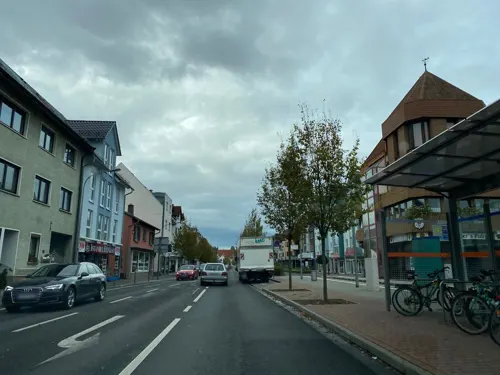

Bistro Cafe Piazza
Restaurant · Italian · 5.9 km
107 Bessunger Straße, Griesheim
Mo-Th 17:00-22:00; Fr,Sa 17:00-23:00; Su 12:00-14:00,17:00-22:00
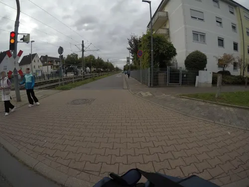
Bocca D'oro
Restaurant · Italian · 6.8 km
160a Wilhelm-Leuschner-Straße, Griesheim
Tu-Su 11:30-14:30,18:00-23:00; Mo off
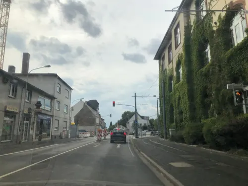
Chiangmai
Restaurant · Thai · 5.2 km
7 Wilhelm-Leuschner-Straße, Griesheim
Tu-Su 11:30-15:00,17:30-22:00
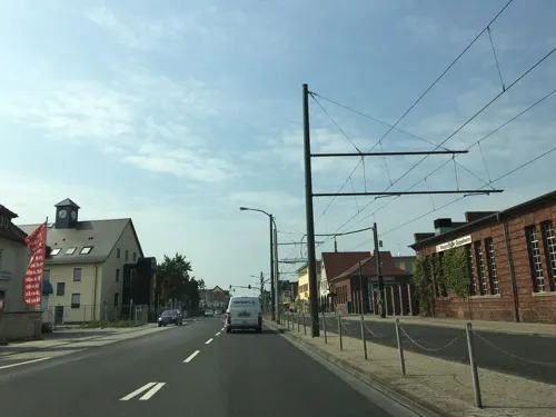
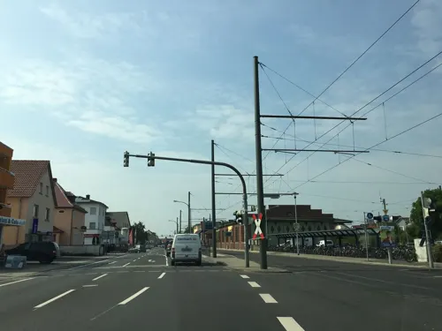
Memo Steak und Grillhaus
Restaurant · Turkish · 5.9 km
95 Wilhelm-Leuschner-Straße, Griesheim
Mo-Su 08:00-23:00
Pizzeria Dhillon
Restaurant · Pizza · 5.4 km
16 Raiffeisenstraße, Griesheim
Tu-Fr 10:30-14:00,16:30-23:00; Sa,Su,PH 12:15-23:00
Restaurant LaFamiglia
Restaurant · Italian · 5.7 km
4 Wilhelm-Weingärtner-Straße, Pfungstadt
Tu-Sa 17:00-23:00; PH,Su 11:30-23:00
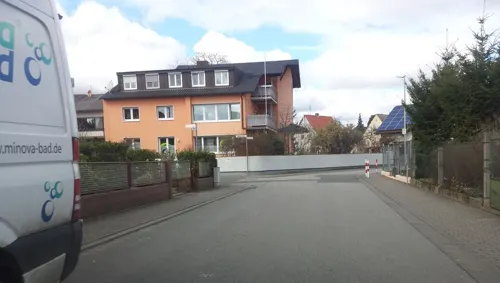
Restaurant zum Bootshaus
Restaurant · International · 6.4 km
7 Außerhalb, Biebesheim am Rhein
Mo,Tu,Th-Sa 11:00-14:00,17:00-23:00; Su,PH 11:00-23:00; We off
Ristorante Pizzeria La Fontana
Restaurant · Italian, Indian · 6.5 km
180 Bessunger Straße, Griesheim
Mo,Tu,Th-Sa 17:00-22:30; Su 11:30-14:00,17:00-22:30
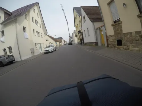


Ristorante Toscana
Restaurant · Italian · 5.4 km
25 Schöneweibergasse, Griesheim
Tu-Sa 11:30-14:30,17:30-22:00; Su,PH 11:30-22:00

Bäckerei Hofmeister
Bakery · 7.2 km
32 Heidelberger Straße, Biebesheim am Rhein
Mo-Sa 07:00-19:00; Su 08:00-11:00
132 more on the map.
Where to stay13
Coreum Hotel
Motel and hotel · 2.8 km
8 Helmut-Kiesel-Straße, Stockstadt am Rhein
Churches and places of worship27
Evangelische Kirche Eschollbrücken
Church · Protestant · 5.5 km
23 Freitagsgasse, Pfungstadt
Evangelische Kirche
Church · Protestant · 3.4 km
10 Kirchstraße, Stockstadt am Rhein
Evangelische Kirche Crumstadt
Church · Protestant · 3.1 km
1 Darmstädter Straße, Riedstadt
Evangelische Kirche Erfelden
Church · Protestant · 2.3 km
34 Wilhelm-Leuschner-Straße, Riedstadt
Evangelische Kirche Goddelau
Church · Protestant
34 Starkenburger Straße, Riedstadt
Evangelische Kirche Hahn
Church · Protestant · 6.2 km
70 Gernsheimer Straße, Pfungstadt
Shopping40
Gas and EV charging18
Schools, colleges and libraries27
Healthcare12
Map of Riedstadt
250 places. The map loads OpenStreetMap tiles when you open it.
Getting there and nearby towns
Frankfurt Airport (FRA) is the nearest airport with scheduled flights listed in OpenStreetMap, 21 km away.
- Griesheim 6 km northeast, about 6 min by car
- Büttelborn 8 km north, about 8 min by car
- Pfungstadt 8 km east, about 8 min by car
- Gernsheim 9 km south, about 9 min by car
- Groß-Gerau 10 km north, about 10 min by car
- Weiterstadt 10 km northeast, about 10 min by car
- Darmstadt 12 km east, about 12 min by car
- Trebur 12 km northwest, about 12 min by car
- Nauheim 13 km north, about 13 min by car
- Königstädten 15 km north, about 15 min by car
Drive times are estimates from straight-line distance, not routes.
Local news
Headlines from INDB.
Reviews, tips and questions
Loading what members have shared...
Sources and licences
- GeoNames (CC BY 4.0): population, coordinates, regions and time zone
- Mapillary (see each image): photos
- OpenStreetMap contributors (ODbL 1.0): places, airports, map data
- Wikidata (CC0 1.0): elevation, founding date, time zone, website, landmarks and historic places
- Wikimedia Commons (see each image): photos
- Wikipedia (CC BY-SA 4.0): overview and history text
Photo credits
- BUECHHS, Unknown author, CC BY-SA 3.0
- Riedstadt Rathaus 20110303, Rudolf Stricker, Attribution
- Altrhein 01, Kuebi, CC BY-SA 3.0
- Biebesheim preĝejo, No machine-readable author provided. ThomasPusch assumed (based on copyright claims)., CC BY-SA 3.0
- Crumstadt evangelische Kirche 20110303, Rudolf Stricker, Attribution
- Kirche DSCF1210, 19kjk87, CC BY-SA 4.0
- Griesheimer Düne 2012, Thiotrix, CC BY-SA 3.0
- Griesheimer Bruch, Hamali314, CC BY-SA 4.0
- Denkmal-Griesheim-05, K-H.Menges, CC BY-SA 4.0
- DA-August-Euler-Flughafen-Westen, Störfix, CC BY-SA 3.0 de
- Schwan im Bruderlöcher FFH- Gebiet, Verdelimon91, CC BY-SA 4.0
- Landschaftspflege, Martin Lowack, CC BY-SA 3.0
- Bruchwiesen bei Büttelborn DSC 0244 Totale, Bernd Herd, CC BY-SA 4.0
- Stockstadt evangelische Kirche 20110216, Rudolf Stricker, Attribution
- Erfelden evangelische Kirche 20110309, Rudolf Stricker, Attribution
- Leeheim evangelische Kirche 20110303, Rudolf Stricker, Attribution
- Wolfskehlen evangelische Kirche 20110303, Rudolf Stricker, Attribution
- Escholbrücken-evg Kirche, Hewiha, CC BY-SA 4.0
- Biebesheim, St. Maria Goretti, Muck, CC BY-SA 4.0
- Schwedensaeule, Paleiko, CC BY-SA 3.0
- Total Access Riedstadt 2, Emilius123, CC BY-SA 4.0
- Knoblochsaue, Freak-Line-Community, CC BY-SA 4.0
- August-Euler-Flugplatz-Tower, Heidas, CC BY-SA 3.0
- Goddelau Geburtshaus Büchner 20110309, Rudolf Stricker, Attribution
- Goddelau, Evangelische Kirche-01, Muck, CC BY-SA 4.0
- Goddelau St. Bonifatius 20110303, Rudolf Stricker, Attribution
- Goddelau, Kastanie Starkenburger Straße, Muck, CC BY-SA 4.0
- Goddelau, Evangelische Kirche-02, Muck, CC BY-SA 4.0
- Goddelau evangelische Kirche 20110303, Rudolf Stricker, Attribution
- Goddelau, Eiche am Pfarrhaus, Muck, CC BY-SA 4.0
- Rote Karte 01, Kuebi = Armin Kübelbeck, CC BY-SA 3.0
- Zweimal Zweiminuten 01, Kuebi = Armin Kübelbeck, CC BY-SA 3.0
- Goddelau, Friedenseiche Hospitalstraße, Muck, CC BY-SA 4.0
- Goddelau, St. Bonifatius, Muck, CC BY-SA 4.0
- Goddelau, Kastanie Hospitalstraße 22, Muck, CC BY-SA 4.0
- Goddelau Hospitalstr22 40 IMG 20240225 1114 2, Karlunun, CC0
- Goddelau Hospitalstr22 40 IMG 20240225 1114, Karlunun, CC0
- Marcus Kretschmann (*1971), Wikipeter, CC0
- Deutz KS230B (Deutz 57511 E W), Joachim Lutz, CC BY-SA 4.0
- Deutz KS230B (Deutz 57511 C W), Joachim Lutz, CC BY-SA 4.0
- Kühkopf Hessen - Beobachtungsstand Schlappeswörth - Martin Lange, Martin.lange.photography, CC BY-SA 4.0
- Hofgut Guntershausen, 4028mdk09, CC BY-SA 3.0
- Street-level photo, bigbug21, CC BY-SA 4.0
- Street-level photo, mfa, CC BY-SA 4.0
- Street-level photo, felixg93, CC BY-SA 4.0
- Street-level photo, mfa, CC BY-SA 4.0
- Street-level photo, chuck, CC BY-SA 4.0
- Street-level photo, chuck, CC BY-SA 4.0
- Street-level photo, chuck, CC BY-SA 4.0
- Street-level photo, chuck, CC BY-SA 4.0
- Street-level photo, soulcover, CC BY-SA 4.0
- Street-level photo, wegavision, CC BY-SA 4.0
- Street-level photo, mfa, CC BY-SA 4.0
- Street-level photo, wegavision, CC BY-SA 4.0
- Street-level photo, chuck, CC BY-SA 4.0
- Street-level photo, felixg93, CC BY-SA 4.0
- Street-level photo, chuck, CC BY-SA 4.0
- Street-level photo, chuck, CC BY-SA 4.0
- Street-level photo, wegavision, CC BY-SA 4.0
- Street-level photo, chuck, CC BY-SA 4.0
- Street-level photo, mfa, CC BY-SA 4.0
- Street-level photo, changchun1, CC BY-SA 4.0
- Street-level photo, miguel_andrade, CC BY-SA 4.0
- Street-level photo, chuck, CC BY-SA 4.0
- Street-level photo, wegavision, CC BY-SA 4.0
- Street-level photo, chuck, CC BY-SA 4.0
- Street-level photo, wegavision, CC BY-SA 4.0


Page built November 8, 2026. Spotted a mistake? Tell us or suggest a place.