


Why visit Dornheim
Townapedia lists 11 museums and landmarks, 23 parks and trails, 46 places to eat, 6 places to stay and 2 attractions in and around town.
Highlights include Altes Rathaus, Heimatmuseum Wolfskehlen, Kühkopf-Knoblochsaue and Bruchwiesen bei Büttelborn.
Weather in Dornheim
Forecast from MET Norway (CC BY 4.0). Full forecast
Things to do2


Museums and landmarks11


Heimatmuseum Wolfskehlen
Museum · 2.9 km
1B Groß-Gerauer-Straße, Riedstadt
Su[1] 10:00-12:00



Parks, trails and playgrounds23





Torfkaute - Bannholz von Dornheim-Wolfskehlen
Hiking and trails · 2.3 km


11 more on the map.
Restaurants and cafes46

Asienpalast
Restaurant · Asian · 3.6 km
5 Helvetiastraße, Groß-Gerau
Mo,We-Sa 11:30-14:30,17:30-22:00; Su 11:30-22:00
Restaurant Sonnenschein
Restaurant · Pizza, Italian · 3.5 km
58 Brignoler Straße, Groß-Gerau
Mo,We-Fr,Su 11:30-14:30,17:30-23:00; Sa 17:30-23:00; Tu off
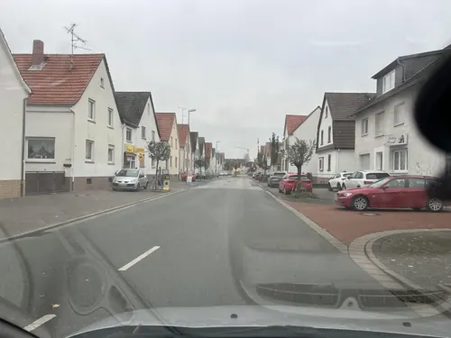
Restaurant Split
Restaurant · Croatian, International · 3.3 km
85 Mainzer Straße, Büttelborn
Tu-Su 11:30-14:00,17:30-23:00; Mo off
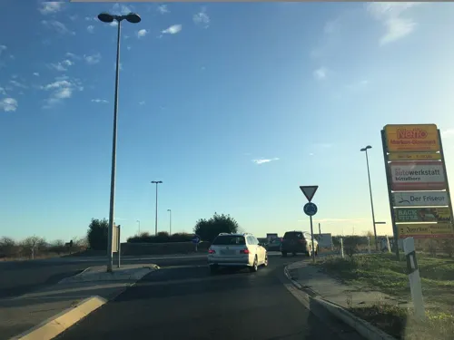
Dorfgemeinschaftshaus
Restaurant · German · 2.3 km
10 Dornheimer Straße, Groß-Gerau
Th-Sa 18:00-24:00; Su 10:00-14:00,17:00-24:00
Hotel-Restaurant Hammann
Restaurant · German · 3.0 km
11 Ernst-Ludwig-Straße, Riedstadt
Su-Fr 11:00-14:00; Sa-Fr 17:00-24:00; PH Su 15:00-17:00
Mediterraneo
Restaurant
36 Heißfeldstraße, Groß-Gerau
Tu-Sa 17:00-23:00, Su,PH 11:30-14:00,17:00-23:00
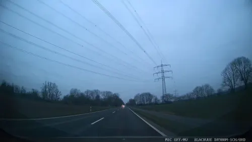

Bäckerei Barthel
Bakery · 3.4 km
1 Schulstraße, Büttelborn
Mo,Tu,Th,Fr 05:00-12:30, 14:30-18:00; We,Sa 05:00-12:30; Su,PH 08:00-11:00
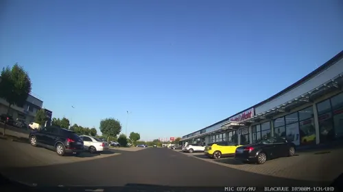
Der Bäckerladen
Cafe · 3.6 km
5 Helvetiastraße, Groß-Gerau
Mo-Sa 06:00-18:00; Su 07:00-17:00


34 more on the map.
Where to stay6
Churches and places of worship8
Ev. Kirche
Church · Protestant · 3.4 km
29 Mainzer Straße, Büttelborn
Shopping15
Gas and EV charging4
Schools, colleges and libraries5
Healthcare6
Map of Dornheim
126 places. The map loads OpenStreetMap tiles when you open it.
Getting there and nearby towns
Frankfurt Airport (FRA) is the nearest airport with scheduled flights listed in OpenStreetMap, 17 km away.
- Büttelborn 4 km northeast, about 4 min by car
- Groß-Gerau 5 km north, about 5 min by car
- Riedstadt 5 km south, about 5 min by car
- Goddelau 5 km south, about 5 min by car
- Griesheim 7 km east, about 7 min by car
- Trebur 8 km northwest, about 8 min by car
- Weiterstadt 8 km east, about 8 min by car
- Stockstadt am Rhein 8 km south, about 8 min by car
- Nauheim 8 km north, about 8 min by car
- Königstädten 10 km north, about 10 min by car
Drive times are estimates from straight-line distance, not routes.
Local news
Headlines from INDB.
Reviews, tips and questions
Loading what members have shared...
Sources and licences
- GeoNames (CC BY 4.0): population, coordinates, regions and time zone
- Mapillary (see each image): photos
- OpenStreetMap contributors (ODbL 1.0): places, airports, map data
- Wikidata (CC0 1.0): elevation, founding date, time zone, website, landmarks and historic places
- Wikimedia Commons (see each image): photos
Photo credits
- Dornheim Sankt-Michael-Kirche 05-2016, Andreas Volz, CC BY-SA 3.0
- Dornheim Sankt-Michael-Kirche 20110406, Rudolf Stricker, Attribution
- Gross-Gerau-Dornheim, Sankt Michaelskirche IMG 1252 2024-05-23 12.23, Michielverbeek, CC BY 4.0
- Dornheim Rathaus 20110406, Rudolf Stricker, Attribution
- Residential area, Dornheim, Gross-Gerau (P1090664), Matti Blume, CC BY-SA 4.0
- Altrhein 01, Kuebi, CC BY-SA 3.0
- Schloss Dornberg Torbau, Reise Reise, CC BY-SA 3.0
- Griesheimer Bruch, Hamali314, CC BY-SA 4.0
- Leeheim evangelische Kirche 20110303, Rudolf Stricker, Attribution
- Wolfskehlen evangelische Kirche 20110303, Rudolf Stricker, Attribution
- Rathaus Buettelborn, HansPeterKlink, CC BY 3.0
- Büttelborn evangelische Kirche 20110310, Rudolf Stricker, Attribution
- Polar f6f, Pascal Rehfeldt, CC BY-SA 3.0
- Groß-Gerau parko Fasanerie 3, Thomas Pusch, CC BY-SA 4.0
- Bruchwiesen bei Büttelborn DSC 0244 Totale, Bernd Herd, CC BY-SA 4.0
- Bruchwiesen bei Büttelborn DSC 0267 03, Bernd Herd, CC BY-SA 4.0
- Bruchwiesen bei Büttelborn DSC 0267 02, Bernd Herd, CC BY-SA 4.0
- Bruchwiesen bei Büttelborn DSC 0267 06, Bernd Herd, CC BY-SA 4.0
- Bruchwiesen bei Büttelborn DSC 0267 04, Bernd Herd, CC BY-SA 4.0
- Bruchwiesen bei Büttelborn DSC 0300 Vogel, Bernd Herd, CC BY-SA 4.0
- Bruchwiesen bei Büttelborn DSC 0267 05, Bernd Herd, CC BY-SA 4.0
- Bruchwiesen bei Büttelborn DSC 0272 Storch Anflug Nistmaterial, Bernd Herd, CC BY-SA 4.0
- Bruchwiesen bei Büttelborn DSC 0305 Storch mit Nestbaumaterial, Bernd Herd, CC BY-SA 4.0
- Bruchwiesen bei Büttelborn DSC 0267 01, Bernd Herd, CC BY-SA 4.0
- Myocastor Coypus-Nutria-Biberratte, Katswiri, CC BY-SA 4.0
- Berkach evangelische Kirche 20110310, Rudolf Stricker, Attribution
- Bruchwiesen bei Büttelborn DSC 0238 Graben, Bernd Herd, CC BY-SA 4.0
- Berkach altes Rathaus 20110310, Rudolf Stricker, Attribution
- Berkach altes Rathaus 20110406, Rudolf Stricker, Attribution
- Wolfskehlen, Eiche auf dem Kirchplatz, Karsten Ratzke, CC0
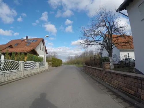
- Street-level photo, robffm, CC BY-SA 4.0
- Street-level photo, chuck, CC BY-SA 4.0
- Street-level photo, wegavision, CC BY-SA 4.0
- Street-level photo, robffm, CC BY-SA 4.0
- Street-level photo, chuck, CC BY-SA 4.0
- Street-level photo, DCBHQQZ5662nfacw, CC BY-SA 4.0
- Street-level photo, wegavision, CC BY-SA 4.0
- Street-level photo, wegavision, CC BY-SA 4.0
- Street-level photo, mfa, CC BY-SA 4.0
- Street-level photo, chuck, CC BY-SA 4.0
- Street-level photo, robffm, CC BY-SA 4.0
- Street-level photo, chuck, CC BY-SA 4.0
- Street-level photo, chuck, CC BY-SA 4.0
- Street-level photo, chuck, CC BY-SA 4.0
- Street-level photo, chuck, CC BY-SA 4.0
- Street-level photo, chuck, CC BY-SA 4.0


Page built November 9, 2026. Spotted a mistake? Tell us or suggest a place.