


Why visit Peiting
Townapedia lists 29 museums and landmarks, 31 parks and trails, 101 places to eat, 15 places to stay and 19 attractions in and around town.
Highlights include Bicklhof, Biohof Jocher, Museum im Klösterle and Stadtmuseum.
Weather in Peiting
Forecast from MET Norway (CC BY 4.0). Full forecast
About Peiting
Peiting (German pronunciation: [ˈpaɪtɪŋ] ) is a municipality in the Weilheim-Schongau district, in Bavaria, Germany. It is situated on the right bank of the Lech, 3 km southeast of Schongau, and 17 km west of Weilheim in Oberbayern.
From the Wikipedia article Peiting (this version), under CC BY-SA 4.0.
Things to do19



7 more on the map.
Museums and landmarks29




17 more on the map.
Parks, trails and playgrounds31


Ammertal im Bereich der Ammerleite und Talbachhänge
Hiking and trails · 4.6 km
Freibad Altenstadt
Sports field and stadium · 5.6 km
May-Sep: Mo-Su 10:00-19:00




19 more on the map.
Restaurants and cafes101

Gasthof Janser
Restaurant · International · 6.3 km
2 Burgstraße, Altenstadt
Mo 17:00-22:00; Tu,Th-Su 11:00-14:00,17:00-22:00
Bayerischer Rigi
Restaurant · Regional · 6.4 km
2 Matthäus-Günther-Platz, Hohenpeißenberg
Mo off; Nov-Mar Tu-Fr 09:00-18:00; Nov-Mar PH,Sa-Su 09:00-20:00;...
Gasthof Hetten
Restaurant · Regional · 5.2 km
22 Hettenstraße, Hohenpeißenberg
We-Fr 11:00-14:00,17:00-22:00; Sa 10:30-22:00; Su 10:00-21:00
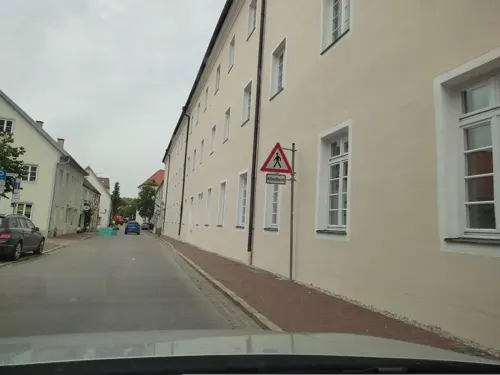

Oafach Schea Deko-Cafe
Cafe · Breakfast, Coffee Shop, Cake · 6.6 km
31 Hoheneggstraße, Hohenfurch
We-Fr 09:00-12:00,14:00-18:00; Sa 09:00-12:30
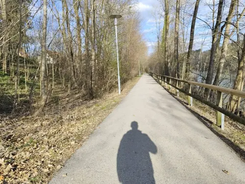
Pizzaexpress Schongau
Restaurant · Indian, Italian, Pizza · 2.6 km
13 Lechvorstadt, Schongau
Mo-Fr 11:00-14:00,17:00-22:30; Sa 17:00-23:00; Su 11:30-22:30
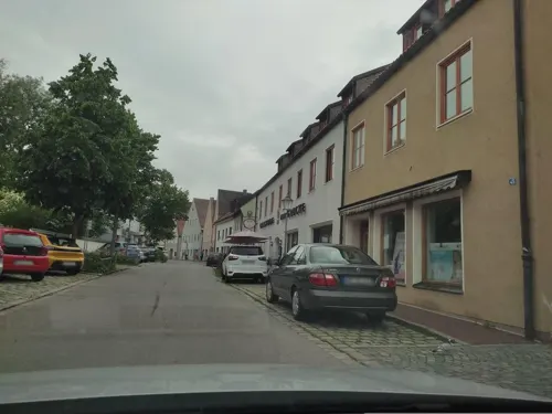
iPho
Restaurant · Vietnamese · 3.1 km
47 Christophstraße, Schongau
11:00-14:30,17:00-22:00; Sa 17:00-22:00


89 more on the map.
Where to stay15
Churches and places of worship39
Wallfahrtskirche Mariä Himmelfahrt
Church · Catholic · 6.2 km
6 Matthäus-Günther-Platz, Hohenpeißenberg
Basilika Sankt Michael
Church · Roman Catholic · 5.2 km
2 Sankt-Michael-Straße, Altenstadt
Heilig Kreuz Schwabniederhofen
Church · Roman Catholic · 6.2 km
1 Burgstraße, Altenstadt
Heilig-Geist-Kirche
Church · Roman Catholic · 2.9 km
6 Karmeliterstraße, Schongau
Mariä Himmelfahrt
Church · Roman Catholic · 6.3 km
2 Kirchberg, Hohenfurch
Shopping32
Gas and EV charging6
Schools, colleges and libraries19
Healthcare12
Map of Peiting
250 places. The map loads OpenStreetMap tiles when you open it.
Getting there and nearby towns
Sonderflughafen Oberpfaffenhofen (OBF) is the nearest airport with scheduled flights listed in OpenStreetMap, 42 km away.
- Schongau 3 km northwest, about 3 min by car
- Weilheim 18 km east, about 18 min by car
- Starnberg 39 km northeast, about 39 min by car
- Wolfratshausen 39 km east, about 39 min by car
- Schwabmünchen 45 km north, about 45 min by car
- Puchheim 50 km northeast, about 50 min by car
- Planegg 51 km northeast, about 51 min by car
- Sonthofen 57 km southwest, about 57 min by car
- Munich 61 km northeast, about 1 h by car
- Augsburg 64 km north, about 1 h by car
Drive times are estimates from straight-line distance, not routes.
Local news
Headlines from INDB.
Reviews, tips and questions
Loading what members have shared...
Sources and licences
- GeoNames (CC BY 4.0): population, coordinates, regions and time zone
- Mapillary (see each image): photos
- OpenStreetMap contributors (ODbL 1.0): places, airports, map data
- Wikidata (CC0 1.0): elevation, founding date, time zone, website
- Wikimedia Commons (see each image): photos
- Wikipedia (CC BY-SA 4.0): overview and history text
Photo credits
- Peiting - Lourdesgrotte - Peiting v W, Flodur63, CC BY-SA 3.0
- Museum im Klösterle Peiting, Stefan Karl, CC BY-SA 4.0
- Ehemaliges Kloster Peiting (1), Stefan Karl, CC BY-SA 4.0
- Ehemaliges Kloster Peiting (2), Stefan Karl, CC BY-SA 4.0
- Bahnstrecke Weilheim–Schongau südlich Peiting-Nord Oktober 2017, Karl432, CC BY-SA 4.0
- Bahnhof Peiting Ost Mai 2017 (3) vernagelte Fenster auf Bahnsteigseite, Karl432, CC BY-SA 4.0
- Bahnhof Peiting Ost Mai 2017 (2), Karl432, CC BY-SA 4.0
- Bahnhof Peiting Ost Gleise Richtung Osten Mai 2017, Karl432, CC BY-SA 4.0
- Bahnhof Peiting Ost Mai 2017 (1), Karl432, CC BY-SA 4.0
- Bahnhof Peiting Ost Mai 2017 (4) Umgebung, Karl432, CC BY-SA 4.0
- Bahnhofsgebäude Peiting Ost Juli 2022, Karl432, CC BY-SA 4.0
- Peiting, Schongauer S 17, 1, Renardo la vulpo, CC0
- Haltepunkt Peiting-Nord Blick vom Südbahnsteig zum Nordbahnsteig Oktober 2017, Karl432, CC BY-SA 4.0
- Haltepunkt Peiting-Nord Juli 2022, Karl432, CC BY-SA 4.0
- Bahnhof Peiting Ost Gleise Richtung Osten Juli 2022, Karl432, CC BY-SA 4.0
- Bahnhof Peiting Ost Gleise Richtung Westen Juli 2022, Karl432, CC BY-SA 4.0
- Haltepunkt Peiting-Nord Blick vom Nordbahnsteig zum Südbahnsteig Oktober 2017, Karl432, CC BY-SA 4.0
- Bahnstrecke Weilheim–Schongau nördlich Peiting-Nord Oktober 2017, Karl432, CC BY-SA 4.0
- Altenstadt-St Michael-10-Suedansicht-gje, Gerd Eichmann, CC BY-SA 4.0
- Hohenpeißenberg Panorama, Thmsfrst, Public domain
- HoherPeissenberg1, Daniel Leclercq, Public domain
- Rottenbuch Mariä Geburt GO-2, Gras-Ober, CC BY-SA 3.0
- Schongau Christophstrasse 57, Angela Huster, CC0
- Altenstadt, WM - Schwabniederhofen - Kirche v O, Flodur63, CC BY-SA 4.0
- Hohenfurch, Thomas Springer, Public domain
- PeitingStMichaelMarch2011, Thmsfrst, CC BY-SA 3.0
- Peiting Herzogsägmühle Dorfplatz1 Ev Kirche StMartin 001, K.Baas, CC BY-SA 4.0
- Schongau-107-Marienplatz 19-Alte Post-gje, Gerd Eichmann, CC BY-SA 4.0
- Schongau Heilig-Geist-Spitalkirche St. Anna mit Stadtmauer von Südosten, Karl432, CC BY-SA 3.0
- Sebastianskirche Schongau-1, Rufus46, CC BY-SA 3.0
- Talbach (Ammer), Wasquewhat, CC BY-SA 4.0
- Oberbayern Oberoblander Filz, NEON-Iolith, CC BY-SA 4.0
- Oberbayern Schwarzlaichmoor, NEON-Iolith, CC BY-SA 4.0
- Schongau, Dreifaltigkeitskirche, 2, Renardo la vulpo, CC BY-SA 4.0
- HoherPeissenbergWinter, Thmsfrst, Public domain
- Mariä Himmelfahrt um 1926, Walther Matzdorff, Public domain
- Lageplan von Burg Peiting, Burgstall Schlossberg (Schongau) und Abschnittsbefestigung Peiting, Königreich Bayern, Public domain
- Sebastianskirche Friedhof Schongau-1, Rufus46, CC BY-SA 3.0
- Deutz MLH914G (55035 E W), Joachim Lutz, CC BY-SA 4.0
- Deutz MLH914G (55035 B W), Joachim Lutz, CC BY-SA 4.0
- Villa rustica Peiting (1), Stefan Karl, CC BY-SA 4.0
- Street-level photo, changchun1, CC BY-SA 4.0
- Street-level photo, changchun1, CC BY-SA 4.0
- Street-level photo, hansfampf1987, CC BY-SA 4.0
- Street-level photo, rausk, CC BY-SA 4.0
- Street-level photo, rausk, CC BY-SA 4.0
- Street-level photo, changchun1, CC BY-SA 4.0
- Street-level photo, changchun1, CC BY-SA 4.0
- Street-level photo, ramap, CC BY-SA 4.0
- Street-level photo, rausk, CC BY-SA 4.0
- Street-level photo, rausk, CC BY-SA 4.0
- Street-level photo, rausk, CC BY-SA 4.0
- Street-level photo, rausk, CC BY-SA 4.0
- Street-level photo, rausk, CC BY-SA 4.0
- Street-level photo, msdess, CC BY-SA 4.0


Page built November 8, 2026. Spotted a mistake? Tell us or suggest a place.