


Why visit Quierschied
Townapedia lists 80 museums and landmarks, 21 parks and trails, 121 places to eat, 1 place to stay and 12 attractions in and around town.
Highlights include Brennender Berg, Göttelborner Höhe, Ehemalige Kaffeeküch and Fördermaschinenhaus Albert.
Weather in Quierschied
Forecast from MET Norway (CC BY 4.0). Full forecast
About Quierschied
Quierschied (German pronunciation: [ˈkviːɐ̯ʃiːt] ) is a municipality in the district of Saarbrücken, in Saarland, Germany. It is situated approximately 11 km northeast of the city of Saarbrücken.
From the Wikipedia article Quierschied (this version), under CC BY-SA 4.0.
Things to do12




Sulzbacher Kellertheater
Cinema and theater · 2.3 km
30 Schnappacher Weg, Sulzbach/Saar
Museums and landmarks80


Alter Turm
Monument and historic site · 4.3 km
289a Saarbrücker Straße, Saarbrücken
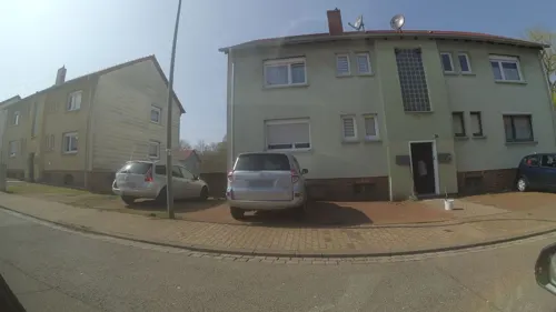
ehem. Kirche
Monument and historic site
Erbaut als Pferdestall, 1958 zur Notkirche umgebaut, 2016 profaniert
32 Am Kreuzgraben, Sulzbach/Saar
ehem. Neuweiler Hof
Monument and historic site · 3.9 km
Bauernhaus, 1723, 1840 Ausbau zur Gaststätte, Saal von 1898
57 Martin-Luther-Straße, Sulzbach/Saar
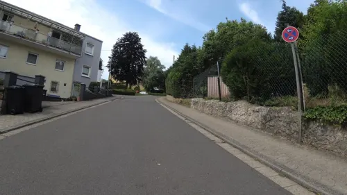

68 more on the map.
Parks, trails and playgrounds21

Hallenbad Friedrichsthal
Sports field and stadium · 4.1 km
Hallenbad der Stadt Friedrichsthal mit Sport-, Kinder- und Kleinkinderbecken, Dampfsauna, finnische Sauna, Sonnenbank.
1 Schwimmbadstraße, Friedrichsthal
Freibad Friedrichsthal
Sports field and stadium · 4.0 km
Freibad der Stadt Friedrichsthal mit Sport-, Freizeit- und Springerbecken (3m- und 1m-Brett), 60m Wasserrutsche, Kinderspielplatz, Sauna
1 Schwimmbadstraße, Friedrichsthal




Integrativer Mehrgenerationen-Spielplatz
Playground · 0.8 km
Integrativer Mehrgenerationen-Spielplatz

9 more on the map.
Restaurants and cafes121

Arayaal Südindisches Restaurant
Restaurant · Indian · 4.1 km
31 Neuweilerstraße, Saarbrücken
Tu-Fr 17:00-22:00; Sa-Su 13:00-22:00

Bertha’s – Gluten-Free Pastry Manufacture
Bakery · 2.1 km
Glutenfreie Pâtisserie für Kunden mit Glutenunverträglichkeit oder Zöliakie
25 Bahnhofstraße
Mo-Fr 09:00-16:00
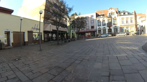
Der kleine Italiener
Restaurant · Italian, Regional · 2.1 km
71 Sulzbachtalstraße, Sulzbach/Saar
Mo,Sa 18:00-22:00; Tu,We,Fr,Su 11:30-14:00,18:00-22:00
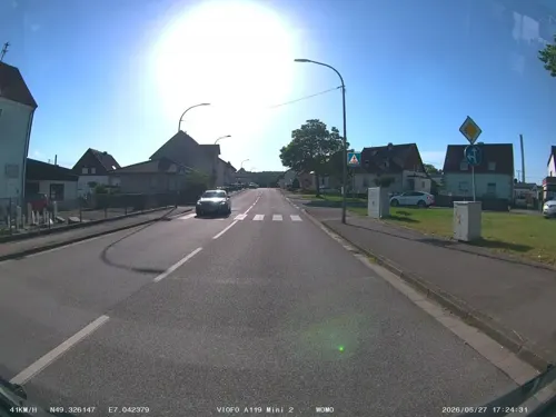
Quierschied's Döner - Pizzahaus
Restaurant · Kebab, Pizza · 1.2 km
53 Rathausstraße, Quierschied
Mo-Sa 11:00-22:00; Su 12:00-22:00
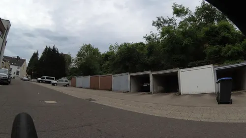
Ristorante Pizzeria Al Bacio
Restaurant · Pizza, Italian · 1.0 km
3 Rathausplatz, Quierschied
Tu-Th 17:00-22:30; Fr-Su,PH 12:00-22:30
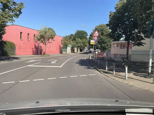
Ruby Asien Restaurant
Restaurant · Sushi, Asian, Chinese, Thai · 4.3 km
299 Saarbrücker Straße, Saarbrücken
We-Fr,Su,Mo,PH 11:30-14:30, Mo-Su,PH 17:30-22:00

Braddock
Bar and pub · 3.7 km
256 Saarbrücker Straße, Friedrichsthal
Tu-Th, Su 11:00-01:00; Fr, Sa 11:00-03:00
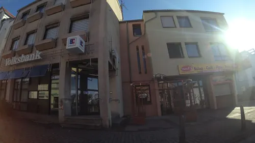
Yusuf's Grill- und Kebaphaus
Restaurant · Kebab, Pizza, Salad, Turkish, Pasta · 1.0 km
Mo-Fr 11:00-23:00; Sa,Su 17:00-23:00
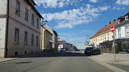
Zum Waldhorn
Restaurant · 3.8 km
3 Neunkircher Straße, Friedrichsthal
Mo-Su 12:00-14:00,18:00-22:00; Tu off; We off
Calabria "Da Tarzan" Heimservice
Restaurant · Pizza, Italian · 3.7 km
22 Fischbachstraße, Saarbrücken
Tu-Su,PH 10:30-14:00,17:00-21:00; Mo closed


109 more on the map.
Where to stay1
Churches and places of worship22
Sri Maha Mariamman Tempel
Place of worship · 2.2 km
41 Grubenstraße, Sulzbach/Saar
Allerheiligenkirche
Church · Catholic · 2.0 km
4 Am Kloster, Sulzbach/Saar
Evangelische Kirche
Church · Lutheran · 2.2 km
205 Sulzbachtalstraße, Altenwald
Herz-Jesu-Kirche Altenwald
Church · Catholic · 2.2 km
11 Grubenstraße, Sulzbach/Saar
Shopping21
Gas and EV charging11
Schools, colleges and libraries22
Grundschule Quierschied – Fischbach/Göttelborn (Standort Göttelborn)
School · 3.3 km
189 Hauptstraße, Quierschied
Healthcare16
St. Barbara-Apotheke
Clinic and pharmacy · 3.5 km
81 Saarbrücker Straße, Friedrichsthal
Map of Quierschied
250 places. The map loads OpenStreetMap tiles when you open it.
Getting there and nearby towns
Saarbrücken Airport (SCN) is the nearest airport with scheduled flights listed in OpenStreetMap, 12 km away.
- Sulzbach 2 km south, about 2 min by car
- Spiesen-Elversberg 6 km east, about 6 min by car
- Schiffweiler 8 km northeast, about 8 min by car
- Riegelsberg 9 km west, about 9 min by car
- Saarbrücken 10 km south, about 10 min by car
- Schwalbach 17 km west, about 17 min by car
- Saarwellingen 18 km west, about 18 min by car
- Tholey 19 km north, about 19 min by car
- Schmelz 19 km northwest, about 19 min by car
- Wadgassen 20 km west, about 20 min by car
Drive times are estimates from straight-line distance, not routes.
Local news
Headlines from INDB.
Reviews, tips and questions
Loading what members have shared...
Sources and licences
- GeoNames (CC BY 4.0): population, coordinates, regions and time zone
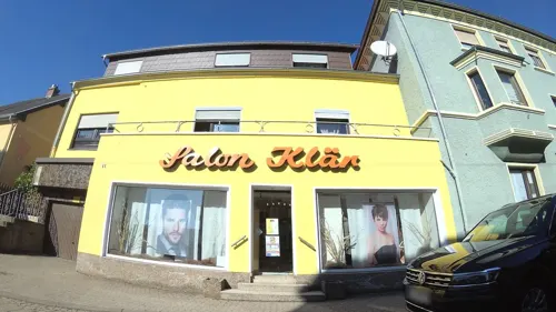
- Mapillary (see each image): photos
- OpenStreetMap contributors (ODbL 1.0): places, airports, map data
- Wikidata (CC0 1.0): elevation, founding date, time zone, website, landmarks and historic places
- Wikimedia Commons (see each image): photos
- Wikipedia (CC BY-SA 4.0): overview and history text
Photo credits
- WasserturmGöttelborn ohne Leitungen, Lokilech, CC BY-SA 3.0
- Quierschied, Rehaklinik, Südwestflügel, Dguendel, CC BY 3.0
- Quierschied, Häuser Robert-Koch-Straße 29 und 31, Dguendel, CC BY 3.0
- Quierschied, die Fleischergasse, Dguendel, CC BY 3.0
- Quierschied, unbenannter Platz, Dguendel, CC BY 3.0
- Quierschied, Kriegerdenkmal und Haus Sulzbacher Straße 3, Dguendel, CC BY 3.0
- Quierschied, Restaurant "Belvedere", Dguendel, CC BY 3.0
- 20200822 Quierschied 04, Flocci Nivis, CC BY 4.0
- Quierschied, Rehaklinik, ehemalige Ärztevilla, Dguendel, CC BY 3.0
- Quierschied, die Marienstraße, Dguendel, CC BY 3.0
- Quierschied, Blick zur Kirche Mariä Himmelfahrt, Dguendel, CC BY 3.0
- Quierschied, L 262 - geo.hlipp.de - 40337, Paul L on geo.hlipp.de, CC BY-SA 2.0
- Quierschied, die Kirche Mariä Himmelfahrt, Dguendel, CC BY 3.0
- 20200822 Quierschied 02, Flocci Nivis, CC BY 4.0
- Quierschied, das Rathaus, Dguendel, CC BY 3.0
- Quierschied, Rehaklinik, Haupteingang, Dguendel, CC BY 3.0
- 20201127 Marienstraße 22 Quierschied 03, Flocci Nivis, CC BY 4.0
- 20201127 Marienstraße 22 Quierschied 04, Flocci Nivis, CC BY 4.0
- 20201127 Marienstraße 22 Quierschied 05, Flocci Nivis, CC BY 4.0
- 20201127 Marienstraße 22 Quierschied 02, Flocci Nivis, CC BY 4.0
- 20201127 Marienstraße 22 Quierschied 01, Flocci Nivis, CC BY 4.0
- Quierschied, Rehaklinik, das Pförtnerhaus, Dguendel, CC BY 3.0
- Museum IGB, [email protected], CC BY-SA 3.0
- Leismann 1, EPei, CC BY-SA 3.0
- Universität des Saarlandes, Saarbrücken, 2005, The original uploader was CAPTN HIRNI at German Wikipedia ., CC BY-SA 3.0
- Fördermaschinenhäuser Maybach, Zecke64, CC BY-SA 3.0
- Sri Mahamariamman Tempel Saar-Innenraum, TeKaBe, CC BY-SA 4.0
- Quierschied kath Kirche, LoKiLeCh, CC BY 3.0
- Sulzbach (Saar) Evangelische Kirche 01, atreyu, CC BY-SA 3.0
- 20111108Herz Jesu Altenwald3, AnRo0002, CC0
- Sulzbach (Saar) Pfarrkirche Allerheiligen 01, atreyu, CC BY-SA 3.0
- Klinik Sulzbach 02, Flocci Nivis, CC BY 4.0
- Sulzbach-Neuweiler St-Hildegard 2009, Elke Wetzig ( Elya ), CC BY-SA 3.0
- 20111108Ev Kirche Altenwald1, AnRo0002, CC0
- 20200111 St. Josef Fischbach, Flocci Nivis, CC BY 4.0
- Fischbach Evangelische Kirche 01, atreyu, CC BY-SA 3.0
- Maybach St. Ludwig 01, atreyu, CC BY-SA 3.0
- 20210930 Gemeindebücherei Quierschied, Flocci Nivis, CC BY 4.0
- NSG-Ruhbach, EHaseler, CC BY-SA 3.0
- 20070310 Alter Turm, Dudweiler, Joetra, CC BY-SA 3.0 de
- 20201216 Holzer Freibad 07, Flocci Nivis, CC BY 4.0
- 20221231 Evangelische Kirche Neuweiler 02, Flocci Nivis, CC BY 4.0
- Himmelspfeil Göttelborn 2008, Lokilech, CC BY-SA 3.0
- Brennender berg felsoeffnungen 2009, Elya, CC BY-SA 3.0
- MaybachKaffeekueche, Stefan Oemisch, CC BY-SA 3.0
- St. Ingbert Beckerturm 1, EPei, CC BY-SA 3.0
- Parapuzosia seppenradensis 4, -- Xocolatl 16:32, 22 April 2006 (UTC), Public domain
- Göttelborner Höhe Sender Informationen, EuropawellenNachbar, CC BY-SA 4.0
- Street-level photo, teddy73, CC BY-SA 4.0
- Street-level photo, soulcover, CC BY-SA 4.0
- Street-level photo, teddy73, CC BY-SA 4.0
- Street-level photo, teddy73, CC BY-SA 4.0
- Street-level photo, tartaros, CC BY-SA 4.0
- Street-level photo, teddy73, CC BY-SA 4.0
- Street-level photo, teddy73, CC BY-SA 4.0
- Street-level photo, tartaros, CC BY-SA 4.0
- Street-level photo, teddy73, CC BY-SA 4.0
- Street-level photo, teddy73, CC BY-SA 4.0
- Street-level photo, teddy73, CC BY-SA 4.0
- Street-level photo, miguel_andrade, CC BY-SA 4.0
- Street-level photo, teddy73, CC BY-SA 4.0
- Street-level photo, teddy73, CC BY-SA 4.0
- Street-level photo, teddy73, CC BY-SA 4.0
- Street-level photo, ramap, CC BY-SA 4.0
- Street-level photo, teddy73, CC BY-SA 4.0
- Street-level photo, teddy73, CC BY-SA 4.0
- Street-level photo, teddy73, CC BY-SA 4.0
- Street-level photo, teddy73, CC BY-SA 4.0
- Street-level photo, teddy73, CC BY-SA 4.0


Page built November 8, 2026. Spotted a mistake? Tell us or suggest a place.