


Why visit Schiffweiler
Townapedia lists 63 museums and landmarks, 14 parks and trails, 194 places to eat, 5 places to stay and 6 attractions in and around town.
Highlights include Cinetower, Kallenberg, Spitzbunker and Winderhitzer (Cowper).
Weather in Schiffweiler
Forecast from MET Norway (CC BY 4.0). Full forecast
About Schiffweiler
Schiffweiler (German pronunciation: [ˈʃɪfvaɪlɐ] ) is a municipality in the district of Neunkirchen, in Saarland, Germany. It is situated approximately 5 km northwest of Neunkirchen, and 20 km northeast of Saarbrücken.
From the Wikipedia article Schiffweiler (this version), under CC BY-SA 4.0.
Things to do6


Museums and landmarks63

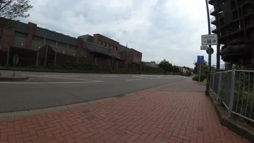


städtische galerie neunkirchen
Museum · 4.1 km
2 Marienstraße, Neunkirchen
Tu-Fr 10:00-18:00; Sa 10:00-17:00; Su 14:00-18:00



Auguste Moses
Monument and historic site
Stolperstein für Auguste Moses, geb.Haas


Heinitz-Stollen
Monument and historic site · 4.2 km
Original Stollenmundeinfassung des Heinitzstollens von 1847. Aufgestellt an dieser Stelle als Denkmal 1979.

51 more on the map.
Parks, trails and playgrounds14






2 more on the map.
Restaurants and cafes194
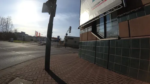

Thai Bistro Buriram
Restaurant · Thai · 3.0 km
16 Itzenplitzstraße, Schiffweiler
11:30-14:30,17:00-22:00
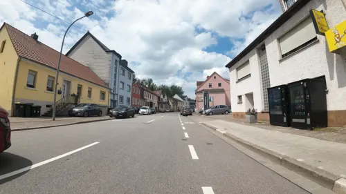
Stumm's Brauhaus
Restaurant · 3.5 km
16 Saarbrücker Straße, Neunkirchen
Mo-Th 11:30-23:00, Fr-Sa 11:30-00:00, Su 16:00-23:00
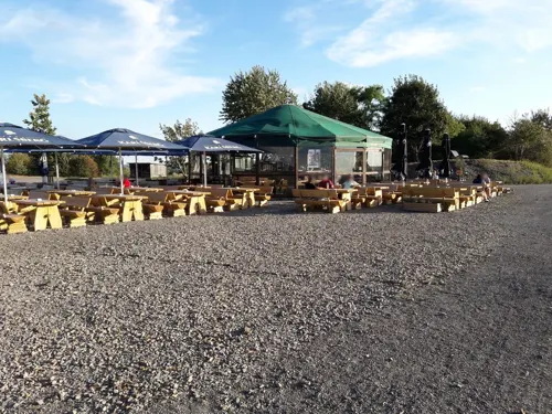
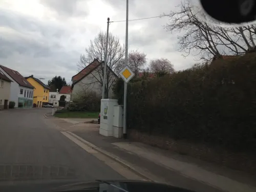
Cafe Maria
Cafe · Breakfast · 2.7 km
Mo,We,Th,Sa 08:30-12:30; Fr 08:30-12:30,15:30-20:00; Su 09:00-18:00
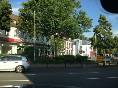
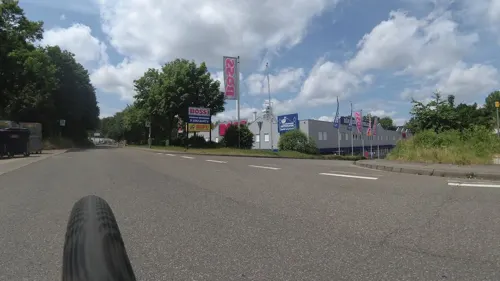
Jacopini Weinhandel
Brewery and winery · 4.2 km
1 Am Gneisenauflöz, Neunkirchen
Tu-Fr 10:00-18:00; Sa 10:00-16:00
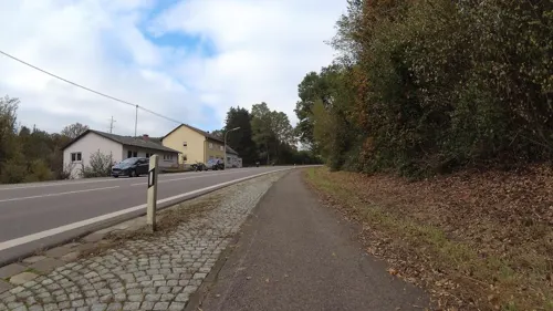



182 more on the map.
Where to stay5
Churches and places of worship19
Dreifaltigkeitskirche
Church · Roman Catholic · 4.0 km
Prälat-Schütz-Straße, Neunkirchen
Ev. Kirche Wiebelskirchen
Church · 3.8 km
14 Martin-Luther-Straße, Neunkirchen
Christuskirche
Church · Protestant · 3.8 km
Unterer Markt, Neunkirchen
Shopping38
Gas and EV charging12
Schools, colleges and libraries24
Healthcare15
Map of Schiffweiler
250 places. The map loads OpenStreetMap tiles when you open it.
Getting there and nearby towns
Saarbrücken Airport (SCN) is the nearest airport with scheduled flights listed in OpenStreetMap, 17 km away.
- Spiesen-Elversberg 6 km south, about 6 min by car
- Sulzbach 9 km southwest, about 9 min by car
- Tholey 15 km northwest, about 15 min by car
- Saarbrücken 17 km southwest, about 17 min by car
- Zweibrücken 22 km southeast, about 22 min by car
- Schmelz 22 km west, about 22 min by car
- Schwalbach 24 km west, about 24 min by car
- Wadern 26 km northwest, about 26 min by car
- Wadgassen 28 km southwest, about 28 min by car
- Überherrn 34 km southwest, about 34 min by car
Drive times are estimates from straight-line distance, not routes.
Local news
Headlines from INDB.
Reviews, tips and questions
Loading what members have shared...
Sources and licences
- GeoNames (CC BY 4.0): population, coordinates, regions and time zone
- Mapillary (see each image): photos
- OpenStreetMap contributors (ODbL 1.0): places, airports, map data
- Wikidata (CC0 1.0): elevation, founding date, time zone, website, landmarks and historic places
- Wikimedia Commons (see each image): photos
- Wikipedia (CC BY-SA 4.0): overview and history text
Photo credits
- Schiffweiler Ansicht 01, atreyu, CC BY-SA 3.0
- Bahnhofsschild Schiffweiler 090201, Clic, CC BY-SA 4.0
- Bücherzelle in Schiffweiler, Gripweed, CC BY-SA 4.0
- Schiffweiler, an der Hauptstraße, Dguendel, CC BY 4.0
- Schiffweiler, die Kirche St. Martin, Dguendel, CC BY 4.0
- Schiffweiler Strasse - schlaglochfrei - panoramio, Jürgen Schneider, CC BY-SA 3.0
- GymnasiumOttweiler, Unknown author, CC BY-SA 3.0
- Gondwana-praehistorium-eingangshalle-argentinosaurus, Dhoefgen, CC BY-SA 4.0
- Neunkirchen Saar StMaria, Lokilech, CC BY-SA 3.0
- Wemmetsweiler Kirche St.Michael 01, atreyu, CC BY-SA 4.0
- Neunkirchen Stummsche Kapelle, Lokilech, CC BY-SA 3.0
- Neunkirchen Saar Christuskirche, Lokilech, CC BY-SA 3.0
- Wiebelskirchen Dreifaltigkeitskirche 03, atreyu, CC BY-SA 3.0
- Landsweiler-Reden Herz-Jesu-Kirche 06, atreyu, CC BY-SA 3.0
- Schiffweiler St. Martin 01, atreyu, CC BY-SA 3.0
- Heiligenwald St. Laurentius 04, atreyu, CC BY-SA 3.0
- Landsweiler-Reden, Evangelische Kirche (1), Cmcmcm1, CC BY-SA 3.0
- Evangelische. Pfarrkirche Wiebelskirchen, Gripweed, CC BY-SA 3.0
- Jüdischer Friedhof (Ottweiler) 2018-11-25 (01), Simon Mannweiler, CC BY-SA 4.0
- Pauluskirche Neunkirchen, Gripweed, CC BY-SA 4.0
- Neunkirchen (Saar) Innenstadt Saarpark-Center, atreyu, CC BY-SA 4.0
- Bachschule, Gripweed, CC BY-SA 3.0
- 20200425Halde Reden 02, Flocci Nivis, CC BY-SA 4.0
- Neunkirchen Stummsche Reithalle, Lokilech, CC BY-SA 3.0
- Stennweiler, Evangelische Kirche (2), Cmcmcm1, CC BY-SA 3.0
- 20200425 Wassergarten Grube Reden 18, Flocci Nivis, CC BY 4.0
- NeunkirchenHochbunker1, Lokilech, CC BY-SA 3.0
- Mundlocharchitektur Heinitzstollen, Zecke64, CC BY-SA 3.0
- 2019-04-22 Altes Hüttenareal Aussicht vom Hochofen auf Wasserturm und Reithalle, Kreisstadt Neunkirchen - Brigitte Neufang-Hartmuth, Abteilungsleiterin Öffentlichkeitsarbeit, CC BY-SA 4.0
- StMarienNeunkirchen(Saar)L1020880 (2), Oktobersonne, CC BY-SA 4.0
- Schiffweiler St. Martin 04, atreyu, CC BY-SA 3.0
- Parapuzosia seppenradensis 4, -- Xocolatl 16:32, 22 April 2006 (UTC), Public domain
- Karl Leib - Stolperstein, Gripweed, CC BY-SA 4.0
- Street-level photo, teddy73, CC BY-SA 4.0
- Street-level photo, teddy73, CC BY-SA 4.0
- Street-level photo, teddy73, CC BY-SA 4.0
- Street-level photo, teddy73, CC BY-SA 4.0
- Street-level photo, teddy73, CC BY-SA 4.0
- Street-level photo, teddy73, CC BY-SA 4.0
- Street-level photo, teddy73, CC BY-SA 4.0
- Street-level photo, teddy73, CC BY-SA 4.0
- Street-level photo, teddy73, CC BY-SA 4.0
- Street-level photo, teddy73, CC BY-SA 4.0
- Street-level photo, teddy73, CC BY-SA 4.0
- Street-level photo, teddy73, CC BY-SA 4.0
- Street-level photo, teddy73, CC BY-SA 4.0
- Street-level photo, teddy73, CC BY-SA 4.0
- Street-level photo, teddy73, CC BY-SA 4.0
- Street-level photo, teddy73, CC BY-SA 4.0
- Street-level photo, teddy73, CC BY-SA 4.0
- Street-level photo, teddy73, CC BY-SA 4.0
- Street-level photo, teddy73, CC BY-SA 4.0
- Street-level photo, teddy73, CC BY-SA 4.0
- Street-level photo, teddy73, CC BY-SA 4.0
- Street-level photo, teddy73, CC BY-SA 4.0
- Street-level photo, teddy73, CC BY-SA 4.0
- Street-level photo, teddy73, CC BY-SA 4.0
- Street-level photo, teddy73, CC BY-SA 4.0


Page built November 8, 2026. Spotted a mistake? Tell us or suggest a place.