


Why visit Reilingen
Townapedia lists 21 museums and landmarks, 12 parks and trails, 96 places to eat, 14 places to stay and 9 attractions in and around town.
Highlights include Obsthof Hoffmann, Hofladen Wersauer Hof, Turmuhrenmuseum Neulußheim and Burg Wersau.
Weather in Reilingen
Forecast from MET Norway (CC BY 4.0). Full forecast
About Reilingen
Reilingen (German: [ˈʁaɪlɪŋən] ) is a municipality in the district of Rhein-Neckar in Baden-Württemberg, Germany. It is located on Bertha Benz Memorial Route.
From the Wikipedia article Reilingen (this version), under CC BY-SA 4.0.
Things to do9
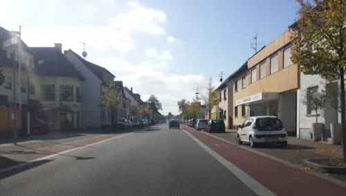
Obsthof Hoffmann
Farm and orchard · 3.3 km
Hofladen
14 Hockenheimer Straße, Neulußheim
Mo-Fr 08:30-13:00,14:00-18:30;Sa 08:30-13:00



Museums and landmarks21
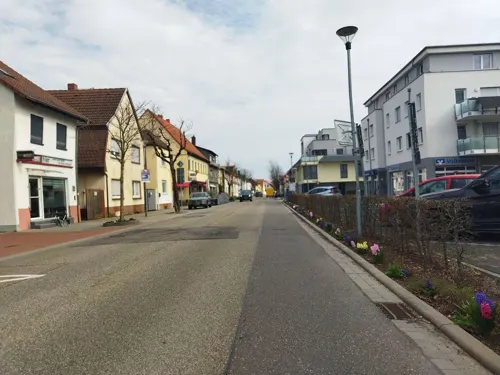
Turmuhrenmuseum Neulußheim
Museum · 3.3 km
8 St. Leoner Straße, Neulußheim
We 16:00-18:00; Su[2] 14:00-18:00
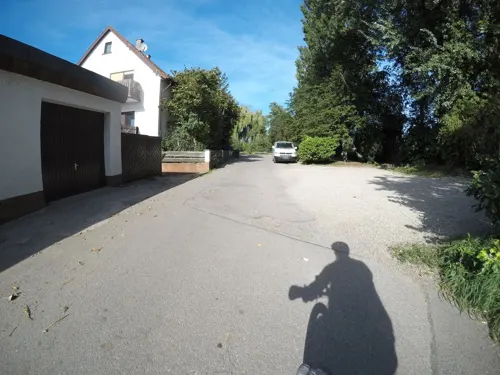



Gedenkstein Kilometer 25,0
Monument and historic site · 3.7 km
Gedenkstein Kilometer 25,0 NBS Mannheim - Stuttgart
9 more on the map.
Parks, trails and playgrounds12

Aquadrom Hockenheim
Sports field and stadium · 2.5 km
41 Beethovenstraße, Hockenheim
Mo-Su 10:00-21:00


Restaurants and cafes96
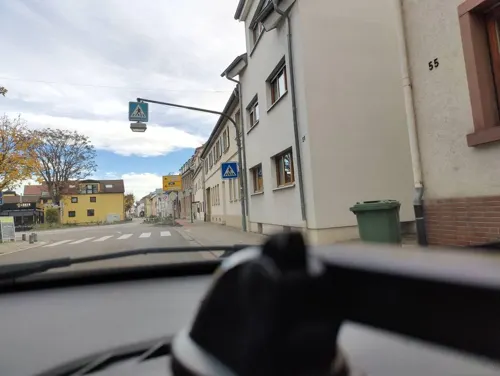
Bella Capri
Restaurant · Italian · 3.2 km
9 Untere Hauptstraße, Hockenheim
Mo-Su 11:30-14:00,17:00-21:00; Th off

Cavallino
Restaurant · Italian, Italian Pizza · 3.1 km
45 Sankt-Leoner-Straße, Neulußheim
Tu-Su 09:00-14:00, 17:30-18:00
Dalmatino - Restaurant am Ring
Restaurant · German, Mediterranean · 3.1 km
1 Waldstraße, Hockenheim
Tu-Sa 17:00-23:00; Su 11:30-22:00
La Favola Antica
Restaurant · Italian · 3.1 km
11 Karlsruher Straße, Hockenheim
Tu-Fr 11:30-14:00,17:30-22:00; Sa 17:30-22:00; Su 11:30-14:00,17:30-21:00
La Fontana di Capri
Restaurant · Italian Pizza · 3.4 km
1 Hockenheimer Straße, Neulußheim
Mo-Tu,Th-Sa 11:30-14:00,17:30-22:30; Su 17:00-22:00; We off

Mr. Meng
Restaurant · Asian · 3.9 km
10 Altreutweg, Neulußheim
Tu-Sa 11:30-15:00,17:00-21:30; Sa,PH 11:30-20:30; Mo off
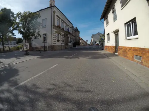
Ristorante & Pizzeria DolceVita
Restaurant · Italian
44 Hauptstraße, Reilingen
11:30-14:30,17:30-23:30
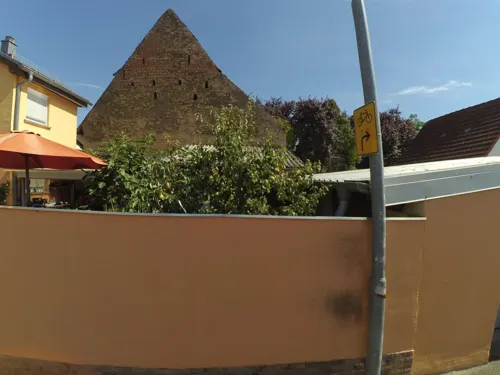
Ristorante Reilinger Hof
Restaurant · Pizza, Italian
14 Ziegelstraße, Reilingen
Mo off; Tu-Sa 17:00-23:00; Su,PH 11:00-22:00
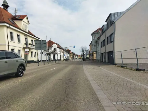


Urfa
Restaurant · Kebab, Pizza · 3.4 km
2a Sankt-Leoner-Straße, Neulußheim
Mo-Sa 11:00-22:00; Su 12:00-22:00
84 more on the map.
Where to stay14
Erholungsanlage St. Leoner See Hundecampingplatz
Campground · 1.9 km
1 Am St. Leoner See, St. Leon-Rot
Churches and places of worship17
Evangelische Gemeinschaft Hockenheim - Gemeinde zum Leben
Church · Evangelical · 2.9 km
13 Luisenstraße, Hockenheim
Kath. Kirche St. Leo der Große
Church · Catholic · 4.0 km
32 Marktstraße, St. Leon-Rot
Shopping14
Gas and EV charging12
Schools, colleges and libraries15
Healthcare9
Map of Reilingen
219 places. The map loads OpenStreetMap tiles when you open it.
Getting there and nearby towns
City-Airport Mannheim (MHG) is the nearest airport with scheduled flights listed in OpenStreetMap, 20 km away.
- Hockenheim 3 km north, about 3 min by car
- Sankt Leon-Rot 5 km southeast, about 5 min by car
- Walldorf 5 km east, about 5 min by car
- Altlußheim 5 km west, about 5 min by car
- Waghäusel 6 km southwest, about 6 min by car
- Oftersheim 8 km north, about 8 min by car
- Sandhausen 8 km northeast, about 8 min by car
- Ketsch 9 km north, about 9 min by car
- Wiesloch 9 km east, about 9 min by car
- Schwetzingen 10 km north, about 10 min by car
Drive times are estimates from straight-line distance, not routes.
Local news
Headlines from INDB.
Reviews, tips and questions
Loading what members have shared...
Sources and licences
- GeoNames (CC BY 4.0): population, coordinates, regions and time zone
- Mapillary (see each image): photos
- OpenStreetMap contributors (ODbL 1.0): places, airports, map data
- Wikidata (CC0 1.0): elevation, founding date, time zone, website
- Wikimedia Commons (see each image): photos
- Wikipedia (CC BY-SA 4.0): overview and history text
Photo credits
- Reilingen katholische Kirche meph666-2005-Mar-17-p2, Unknown author, CC BY-SA 3.0
- Reilingen Sankt-Wendelin-Kirche 20110307, Rudolf Stricker, Attribution
- Reilingen evangelische Kirche 20110307, Rudolf Stricker, Attribution
- 20180523Stankt Wendelin Reilingen5, AnRo0002, CC0
- 20180523Stankt Wendelin Reilingen4, AnRo0002, CC0
- 20180523Stankt Wendelin Reilingen3, AnRo0002, CC0
- 20180523Stankt Wendelin Reilingen1, AnRo0002, CC0
- 20180523Stankt Wendelin Reilingen2, AnRo0002, CC0
- 20181122Tabakscheune Reilingen, AnRo0002, CC0
- 20181122Hauptstraße Reilingen, AnRo0002, CC0
- 20181122Hauptstraße 121 Reilingen, AnRo0002, CC0
- 20181122Dorfbrunnen Reilingen1, AnRo0002, CC0
- 20181122Dorfbrunnen Reilingen2, AnRo0002, CC0
- Reilingen, Kirche Sankt Wendelin IMG 2201 2022-05-24 10.51, Michielverbeek, CC BY-SA 4.0
- Reilingen Rathaus 20110307, Rudolf Stricker, Attribution
- 20181125 Hauptstraße 47 Reilingen 2, AnRo0002, CC0
- 20181125 Hauptstraße 47 Reilingen 1, AnRo0002, CC0
- Hockenheim Evangelische Kirche Langseite114, GFreihalter, CC BY-SA 3.0
- Hockenheim katholische Kirche 20110602, Rudolf Stricker, Attribution
- St. Leon-Rot, St. Leo der Große (23), Subbass1, CC BY-SA 4.0
- 20130303St Nikolaus Neulussheim4, AnRo0002, CC0
- Neulussheim Evangelische Kirche 20100719, Rudolf Stricker, Attribution
- 20110830St Leon56, AnRo0002, CC0
- 20180523Euphorbia lathyris2, AnRo0002, CC0
- 20180523Veronica arvensis2, AnRo0002, CC0
- 20180523Veronica arvensis1, AnRo0002, CC0
- 20180523Euphorbia lathyris1, AnRo0002, CC0
- 20180523Geranium pusillum, AnRo0002, CC0
- 20181122Hofgut in der Fröschau2, AnRo0002, CC0
- 20181122Hofgut in der Fröschau1, AnRo0002, CC0
- 20181122Hofgut in der Fröschau3, AnRo0002, CC0
- 20180523Herniaria glabra2, AnRo0002, CC0
- 20180523Lactuca serriola2, AnRo0002, CC0
- 20180523Chelidonium majus3, AnRo0002, CC0
- 20180523Chelidonium majus2, AnRo0002, CC0
- 20180523Sagina procumbens2, AnRo0002, CC0
- 20180523Lactuca serriola1, AnRo0002, CC0
- 20180523Chelidonium majus4, AnRo0002, CC0
- 20180523Chelidonium majus1, AnRo0002, CC0
- 20180523Sagina procumbens1, AnRo0002, CC0
- Wasserturm Hockenheim - panoramio, Immanuel Giel, CC BY 3.0
- Street-level photo, changchun1, CC BY-SA 4.0
- Street-level photo, changchun1, CC BY-SA 4.0
- Street-level photo, wegavision, CC BY-SA 4.0
- Street-level photo, changchun1, CC BY-SA 4.0
- Street-level photo, changchun1, CC BY-SA 4.0
- Street-level photo, wegavision, CC BY-SA 4.0
- Street-level photo, wegavision, CC BY-SA 4.0
- Street-level photo, wegavision, CC BY-SA 4.0
- Street-level photo, poxonline, CC BY-SA 4.0
- Street-level photo, mfa, CC BY-SA 4.0
- Street-level photo, knistertoni, CC BY-SA 4.0
- Street-level photo, wegavision, CC BY-SA 4.0
- Street-level photo, changchun1, CC BY-SA 4.0
- Street-level photo, paramida, CC BY-SA 4.0
- Street-level photo, changchun1, CC BY-SA 4.0
- Street-level photo, teddy73, CC BY-SA 4.0
- Street-level photo, changchun1, CC BY-SA 4.0
- Street-level photo, wegavision, CC BY-SA 4.0
- Street-level photo, teddy73, CC BY-SA 4.0
- Street-level photo, wegavision, CC BY-SA 4.0
- Street-level photo, wegavision, CC BY-SA 4.0
- Street-level photo, changchun1, CC BY-SA 4.0
- Street-level photo, littlefool, CC BY-SA 4.0
- Street-level photo, mfa, CC BY-SA 4.0
- Street-level photo, wegavision, CC BY-SA 4.0
- Street-level photo, teddy73, CC BY-SA 4.0
- Street-level photo, mfa, CC BY-SA 4.0
- Street-level photo, el1yyg7yid, CC BY-SA 4.0
- Street-level photo, changchun1, CC BY-SA 4.0


Page built November 9, 2026. Spotted a mistake? Tell us or suggest a place.