


Why visit Rethen
Townapedia lists 2 museums and landmarks, 11 parks and trails, 5 places to eat, 1 place to stay and 2 attractions in and around town.
Highlights include Thörmanns Hofladen, Großsteingrab von Rethen, Gefallenendenkmal and Maaßel.
Weather in Rethen
Forecast from MET Norway (CC BY 4.0). Full forecast
About Rethen
Rethen is a former municipality in the district of Gifhorn, Lower Saxony. The village was probably founded during the Saxon Wars of Charlemagne. In the Middle Ages, Rethen was a border town between the Roman Catholic Diocese of Hildesheim and Diocese of Halberstadt. In 1974 Rethen and Eickhorst were incorporated into the municipality of Vordorf, which belongs to the Samtgemeinde Papenteich.
From the Wikipedia article Rethen (this version), under CC BY-SA 4.0.
Things to do2

Thörmanns Hofladen
Farm and orchard · 1.9 km
17 Gifhorner Straße, Adenbüttel
Tu-Fr 09:00-13:00; Sa 08:00-13:00; We-Fr 15:00-18:00
Eickenhofer Spargelreich GmbH
Farm and orchard · 2.6 km
4 Eickenhof, Vordorf
Museums and landmarks2


Parks, trails and playgrounds11


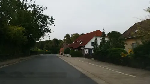
Mountainbike Strecke Adenbüttel
Playground · 1.7 km
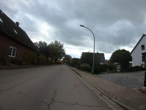
Red Bull Mountainbike-Parcours

Restaurants and cafes5

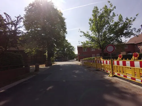
Gasthaus Michels
Restaurant · German · 1.9 km
1 Neue Schulstraße, Adenbüttel
Mo-Fr 17:30-21:30; Sa-Su 11:30-14:00,17:00-21:30
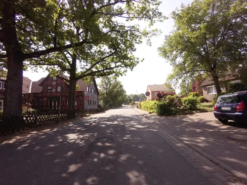
Heidebäckerei Meyer
Bakery · 1.9 km
27 Hauptstraße, Adenbüttel
Mo-Sa 06:00-12:00; Mo-Fr 15:00-18:00; Su 07:30-10:30


Where to stay1
Churches and places of worship2
Map of Rethen
23 places. The map loads OpenStreetMap tiles when you open it.
Getting there and nearby towns
Forschungsflughafen Braunschweig-Wolfsburg (BWE) is the nearest airport with scheduled flights listed in OpenStreetMap, 8 km away.
- Wendeburg 8 km southwest, about 8 min by car
- Braunschweig 13 km south, about 13 min by car
- Gifhorn 12 km northeast, about 12 min by car
- Lehre 14 km southeast, about 14 min by car
- Vechelde 15 km southwest, about 15 min by car
- Peine 18 km west, about 18 min by car
- Cremlingen 19 km southeast, about 19 min by car
- Sassenburg 19 km northeast, about 19 min by car
- Wolfsburg 21 km east, about 21 min by car
- Uetze 21 km northwest, about 21 min by car
Drive times are estimates from straight-line distance, not routes.
Local news
Headlines from INDB.
Reviews, tips and questions
Loading what members have shared...
Sources and licences
- GeoNames (CC BY 4.0): population, coordinates, regions and time zone
- Mapillary (see each image): photos
- OpenStreetMap contributors (ODbL 1.0): places, airports, map data
- Wikidata (CC0 1.0): elevation, founding date, time zone, website
- Wikimedia Commons (see each image): photos
- Wikipedia (CC BY-SA 4.0): overview and history text
Photo credits
- RiedeNördlichRethen201905, Okernick, CC0
- Rethen Kirche 2022, Kirchenfan, CC0
- Belgique - Rixensart - Monument aux Morts - 02, EmDee, CC BY-SA 4.0
- St.-Marien-Kirche Adenbüttel, Jwdietrich2, CC BY 4.0
- Großsteingrab von Rethen (Vordorf), JA_ALT, Public domain
- MU Maaßeler Lindenwald 3489, Hcirllu, CC BY-SA 4.0
- Adenbüttel Kirche 04, Rabanus Flavus, CC0
- Street-level photo, ankeric, CC BY-SA 4.0
- Street-level photo, ankeric, CC BY-SA 4.0
- Street-level photo, m4p1ll4ry, CC BY-SA 4.0
- Street-level photo, tian, CC BY-SA 4.0

Page built November 9, 2026. Spotted a mistake? Tell us or suggest a place.