


Why visit Cremlingen
Townapedia lists 68 museums and landmarks, 27 parks and trails, 76 places to eat, 7 places to stay and 22 attractions in and around town.
Highlights include Tierpark Essehof, Hofladen Bosse, Zisterziensermuseum and Bockwindmühle Abbenrode.
Weather in Cremlingen
Forecast from MET Norway (CC BY 4.0). Full forecast
About Cremlingen
Cremlingen (German pronunciation: [ˈkʁɛmlɪŋən]) is a municipality in the district of Wolfenbüttel, Lower Saxony, Germany. It borders Lehre, Königslutter, Sickte, and Braunschweig. Parts of it are adjacent to the Elm hills.
From the Wikipedia article Cremlingen (this version), under CC BY-SA 4.0.
Things to do22

Tierpark Essehof
Zoo and aquarium · 6.4 km
Zoo in Lehre, Landkreis Helmstedt, Germany
3 Am Tierpark, Lehre-Essehof
Mo-Su 09:00-19:00
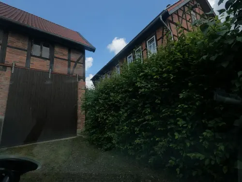
Hofladen Bosse
Farm and orchard · 4.6 km
1 Kleegasse, Braunschweig
Tu 10:00-12:00,17:00-19:00; Fr 10:00-12:00,15:00-18:00; Sa...


Staatstheater Braunschweig
Cinema and theater · 8.6 km
Theatre and opera house in Brunswick, Germany

Destedter Aussichtspunkt
Scenic view · 4.7 km
Ausblick zum Harz bis Wofenbüttel, Salzgitter, ins braunschweiger Land und bis Wolfsburg
10 more on the map.
Museums and landmarks68
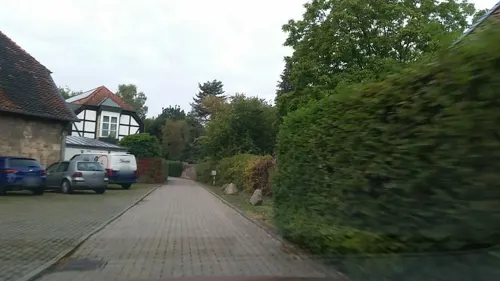

Bockwindmühle Abbenrode
Monument and historic site · 4.7 km
Bockwindmühle in Cremlingen OT Abbenrode am Elm


Brunswick State Museum
Museum · 9.2 km
History museum in Braunschweig, Germany focused on regional history

Dankwarderode Castle
Museum · 9.1 km
Reconstructed lowland castle in Braunschweig, Lower Saxony, Germany


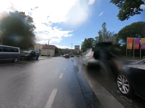
Herzog Anton Ulrich Museum
Museum · 8.5 km
Art museum in Braunschweig, Germany
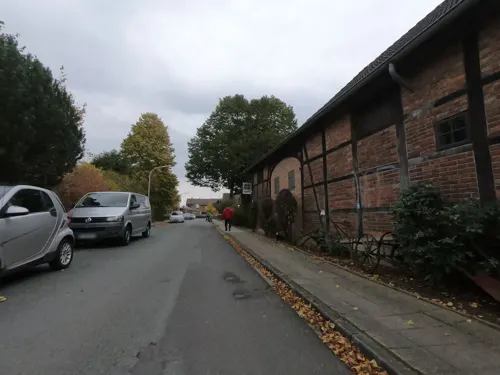


Schloss Destedt
Monument and historic site · 3.9 km
5 An der Oberburg, Cremlingen

56 more on the map.
Parks, trails and playgrounds27

Freibad am Elm
Sports field and stadium · 3.7 km
1 An der Badeanstalt, Cremlingen
May-Jun, Sep: 10:00-19:00; Jul-Aug 09:00-20:00; PH off


Kalksteinbruch und Halbtrockenrasen am Eich-Berg bei Hemkenrode
Hiking and trails · 5.1 km


Landschaftsschutzgebiet "Schandelaher Wohld und Pfeifengraswiese Wohld"
Hiking and trails · 5.8 km

Landschaftsschutzgebiet „Feld- und Waldflur südwestlich Weddel“
Hiking and trails · 3.3 km
15 more on the map.
Restaurants and cafes76

Sportheim "La Dolce Vita"
Restaurant · Italian · 3.7 km
14 Kleiberg, Cremlingen
Tu-Fr 17:00-22:00; Sa-Su 11:30-14:00, 17:00-22:00

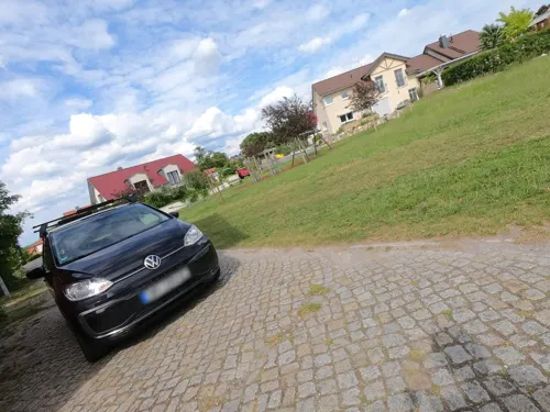
Abbenroder Mühlencafé
Cafe · 4.7 km
Ehemaliges Wohnhaus des Müllers, beherbergt nun ein Café
6 Mühlenweg, Cremlingen
May-Nov Th-Sa 09:00-18:00 || Th-Sa 09:00-23:00 open "bei...
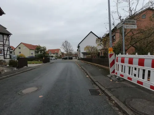
Café Gedoens
Cafe · Waffeln, Cake, Kaffee, Herzhafte Snacks, Erfrischungen · 3.3 km
15 Dorfplatz, Cremlingen
We-Fr 09:00-17:00

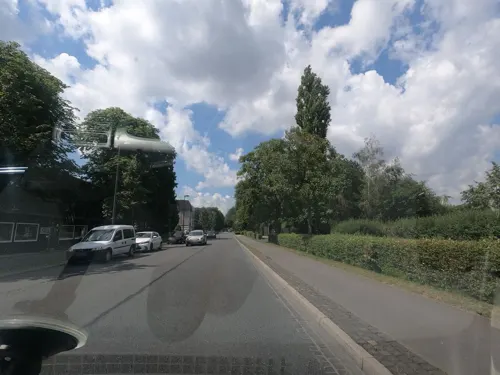
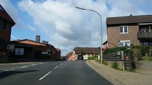
Gaststätte Lüddecke
Restaurant · German · 4.9 km
2 Bäckerstraße, Cremlingen
Mo-Tu off; We-Fr 17:00-23:00; Sa-Su 12:00-15:00,17:00-24:00
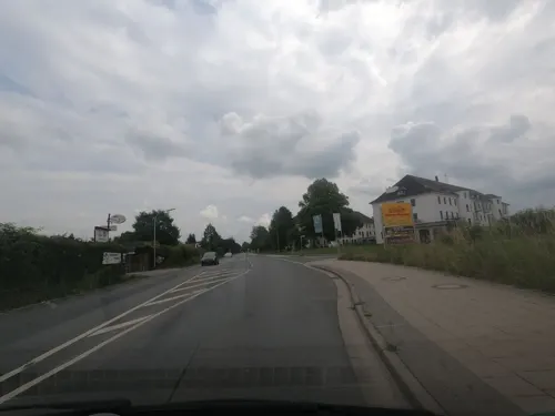
Il Capriccio
Restaurant · Italian · 6.0 km
1 Rautheimer Straße, Braunschweig
Tu-Su 17:00-22:00, Fr,Su 11:30-13:30; Mo off
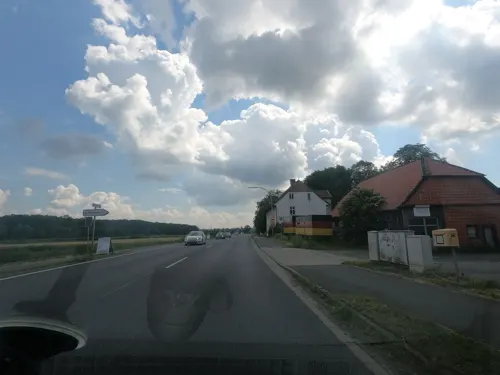
Safran
Restaurant · Afghan · 4.3 km
58e Helmstedter Straße, Braunschweig
We,Th,Su 17:00-22:00, Fr-Sa 17:00-23:00, Su 12:00-15:00; Mo,Tu off
Schäfers Ruh
Restaurant · Cake, Coffee Shop · 5.0 km
22 Lindenallee, Braunschweig
Fr 11:00-18:00; Sa-Su 10:00-18:00
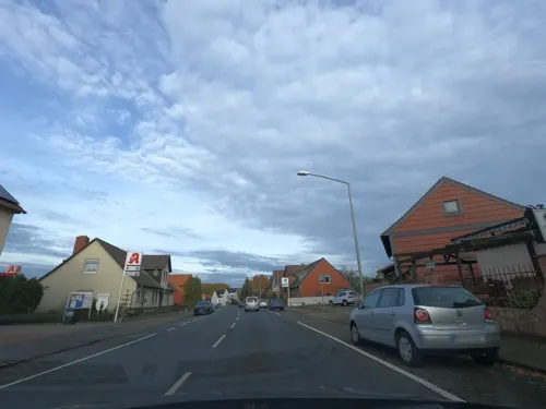


Wolfs Gasthaus
Restaurant · German · 6.0 km
9a Berliner Heerstraße, Braunschweig
Th-Sa 17:00-24:00; Su 12:00-14:30,17:30-24:00
Zur Freundschaft
Restaurant · Modern · 6.6 km
36 Georg-Westermann-Allee, Braunschweig
Mo-We off; Th-Sa 17:00-23:00; Su 10:00-15:00
64 more on the map.
History
From May 8, 1944 until April 12, 1945 a concentration camp was established in the quarter Schandelah. The camp was a subcamp to the Neuengamme concentration camp.
Until its deestablishment in 1974, the municipalities later merged into Cremlingen were part of the district of Braunschweig.
From the History section of Cremlingen on Wikipedia, under CC BY-SA 4.0.
Where to stay7
Churches and places of worship33
Shopping20
Gas and EV charging6
Schools, colleges and libraries16
Healthcare8
Neue Apotheke Volkmarode
Clinic and pharmacy · 6.1 km
49 Berliner Heerstraße, Braunschweig
Apotheke Mascherode
Clinic and pharmacy · 6.4 km
14d Hinter den Hainen, Braunschweig
Map of Cremlingen
250 places. The map loads OpenStreetMap tiles when you open it.
Getting there and nearby towns
Forschungsflughafen Braunschweig-Wolfsburg (BWE) is the nearest airport with scheduled flights listed in OpenStreetMap, 10 km away.
- Braunschweig 9 km west, about 9 min by car
- Lehre 9 km north, about 9 min by car
- Königslutter am Elm 11 km east, about 11 min by car
- Wolfenbüttel 12 km southwest, about 12 min by car
- Salzgitter 19 km southwest, about 19 min by car
- Vechelde 20 km west, about 20 min by car
- Wendeburg 20 km northwest, about 20 min by car
- Wolfsburg 21 km northeast, about 21 min by car
- Helmstedt 24 km east, about 24 min by car
- Lengede 24 km west, about 24 min by car
Drive times are estimates from straight-line distance, not routes.
Local news
Headlines from INDB.
Reviews, tips and questions
Loading what members have shared...
Sources and licences
- GeoNames (CC BY 4.0): population, coordinates, regions and time zone
- Mapillary (see each image): photos
- OpenStreetMap contributors (ODbL 1.0): places, airports, map data
- Wikidata (CC0 1.0): elevation, founding date, time zone, website, landmarks and historic places
- Wikimedia Commons (see each image): photos
- Wikipedia (CC BY-SA 4.0): overview and history text
Photo credits
- Cremlingen St Michael Kirche, TeWeBs, CC BY-SA 3.0
- 20210521 Cremlingen Kirche StMichael DSC06329 PtrQs, PtrQs, CC BY-SA 4.0
- 20210521 Cremlingen Kirche StMichael DSC06326 PtrQs, PtrQs, CC BY-SA 4.0
- CremlingerBachFeuerwehrCremlingen201707, Okernick, CC0
- CremlingerBachLebenshilfeCremlingen201707, Okernick, CC0
- Cremlingen B1 Meilenstein-03, Radler59 ( talk ), CC BY-SA 4.0
- Cremlingen B1 Meilenstein-02, Radler59 ( talk ), CC BY-SA 4.0
- Cremlingen B1 Meilenstein, Radler59 ( talk ), CC BY-SA 4.0
- Cremlingen B1 Meilenstein-01, Radler59 ( talk ), CC BY-SA 4.0
- Tierpark Essehehof Eingang, J.Brodhagen, CC BY-SA 3.0
- Braunschweig Luftaufnahme Staatstheater (2011), Brunswyk at German Wikipedia, CC BY-SA 3.0 de
- ECE Schloss 06u07 1b, The original uploader was Kudalla at German Wikipedia . ( Original text: Heinz Kudalla ), Attribution
- Braunschweig, Landesmuseum, Photo taken on April 11, 2005, by Magnus Manske , in Braunschweig , Germany ., CC BY-SA 3.0
- BurgDankwarderode2016, Stefan Schäfer, Lich, CC BY-SA 4.0
- Aegidienkirche 03 1a, Kudalla (Heinz Kudalla) at de.wikipedia, Attribution
- Braunschweig altes TU-Gebäude, Brunswyk, CC BY-SA 3.0
- Brunswick - Riddagshausen Abbey - 20220508131344, Jorge Saturno, CC BY-SA 4.0
- KalksteinbruchHemkenrode1, Diegofaber1980, CC BY-SA 3.0
- Braunschweig Luftaufnahme Riddagshaeuser Seen (2011), Benutzer:Brunswyk, CC BY-SA 3.0 de
- Weddeler Teich CB003, Donkey shot (Christof Bobzin), CC BY-SA 3.0
- BS Markuskirche, TeWeBs, CC BY-SA 3.0
- 20190518 Destedt Oberburg NordWest DSC08252 PtrQs, PtrQs, CC BY-SA 4.0
- Teich-Rittergutspark-Destadt, Roll-Stone, CC BY-SA 4.0
- Rautheimer Holz, Friedi13, CC BY-SA 4.0
- WohldTeichgraben202507 783, Okernick, CC0
- Herzogsberge201710 4, Okernick, CC0
- Schandelah Kirche (02), Reise Reise, CC BY-SA 4.0
- Dorfkirche-schulenrode-1, Elmschrat, CC BY-SA 3.0
- BS Mascherode Dorfkirche 2, TeWeBs, CC BY-SA 4.0
- BS Volkmarode St Thomas 2, TeWeBs, CC BY-SA 4.0
- Braunschweig Brunswick Klosterkirche Riddagshausen Osten (2006), Brunswyk, CC BY-SA 3.0
- Schandelah Sportheim (02), Reise Reise, CC BY-SA 4.0
- Das Seela Braunschweig , 2025-10-28, Sebastian Wallroth, CC BY 4.0
- Neuerkerode Kirche, Kirchenfan, CC0
- BS Kugelfang, TeWeBs, CC BY-SA 4.0
- Abbenrode Bockwindmuehle, Radler59 ( talk ), CC BY-SA 4.0
- Bornum Schaeferstein, Radler59, CC BY-SA 3.0
- DEU Niedersachsen Lucklum 250719 007, ClausNe, CC BY-SA 4.0
- Veltheim Kirche kath, Kirchenfan, CC0
- Weddel Kirche Bonifatius, Kirchenfan, CC0
- Braunschweig Kirche Heinrich, Kirchenfan, CC0
- Gedenkstein mit Gedenktafel, Psmr, CC BY-SA 4.0
- HermannLönsPark Sitzmauern 201605, Okernick, CC BY-SA 4.0
- Street-level photo, sunnyteater, CC BY-SA 4.0
- Street-level photo, u14183, CC BY-SA 4.0
- Street-level photo, u14183, CC BY-SA 4.0
- Street-level photo, u14183, CC BY-SA 4.0
- Street-level photo, tian, CC BY-SA 4.0
- Street-level photo, u14183, CC BY-SA 4.0
- Street-level photo, bvblers, CC BY-SA 4.0
- Street-level photo, u14183, CC BY-SA 4.0
- Street-level photo, u14183, CC BY-SA 4.0
- Street-level photo, u14183, CC BY-SA 4.0
- Street-level photo, u14183, CC BY-SA 4.0
- Street-level photo, Schmarvis, CC BY-SA 4.0
- Street-level photo, u14183, CC BY-SA 4.0
- Street-level photo, u14183, CC BY-SA 4.0
- Street-level photo, u14183, CC BY-SA 4.0
- Street-level photo, tian, CC BY-SA 4.0
- Street-level photo, u14183, CC BY-SA 4.0
- Street-level photo, u14183, CC BY-SA 4.0
- Street-level photo, Hightower-, CC BY-SA 4.0
- Street-level photo, u14183, CC BY-SA 4.0
- Street-level photo, u14183, CC BY-SA 4.0
- Street-level photo, u14183, CC BY-SA 4.0
- Street-level photo, u14183, CC BY-SA 4.0
- Street-level photo, u14183, CC BY-SA 4.0
- Street-level photo, u14183, CC BY-SA 4.0


Page built November 8, 2026. Spotted a mistake? Tell us or suggest a place.