


Sankt Andreasberg, Germany
Sankt Andreasberg is a town of 2,037 people in Lower Saxony, Germany, founded in 1521.
Why visit Sankt Andreasberg
Townapedia lists 33 museums and landmarks, 6 parks and trails, 16 places to eat, 16 places to stay and 36 attractions in and around town.
Highlights include Andreasberg, Sieberberg, Grube Samson and Harzer Roller-Kanarien-Museum.
Weather in Sankt Andreasberg
Forecast from MET Norway (CC BY 4.0). Full forecast
About Sankt Andreasberg
Sankt Andreasberg (pronounced [zaŋkt anˈdʁeasˌbɛʁk] ) is a former independent city in the district of Goslar, in Lower Saxony, Germany. Since 1 November 2011, it has formed part of the town Braunlage. It is situated in the Harz, approximately 7 km (4.3 mi) west of Braunlage proper, and 20 km (12 mi) east of Osterode am Harz.
From the Wikipedia article Sankt Andreasberg (this version), under CC BY-SA 4.0.
Things to do36



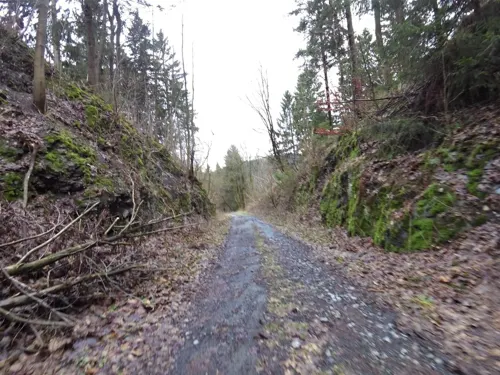


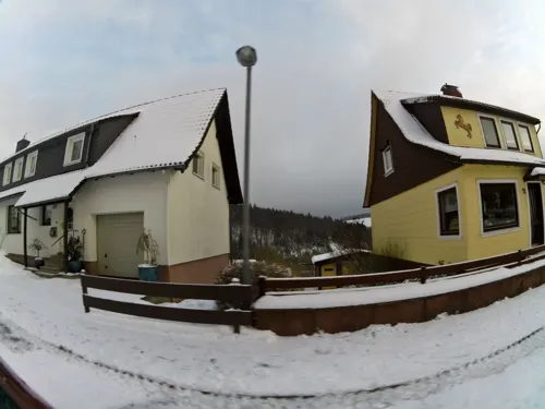
24 more on the map.
Museums and landmarks33


Harzer Roller-Kanarien-Museum
Museum
Mo-Sa 09:00-12:30,13:00-16:00; Su 10:30-12:30,14:00-16:00; Dec 24...
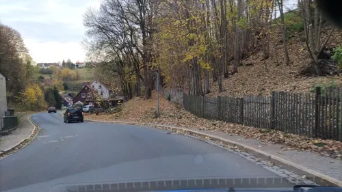
Nationalparkhaus Sankt Andreasberg
Museum
1 Erzwäsche, Braunlage
Apr-Oct: Mo-Fr 10:00-18:00, Apr-Oct: Sa-Su 10:00-17:00; Nov-Mar...



21 more on the map.
Parks, trails and playgrounds6



Restaurants and cafes16

Waldgaststätte Rinderstall
Restaurant · Regional · 3.1 km
1 Rinderstall, Braunlage
Mo-Fr 11:00-17:00; Sa,Su,PH off

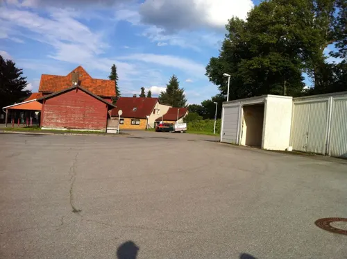


La Capri
Restaurant · Italian
18 Dr.-Willi-Bergmann-Straße, Braunlage
Tu-Su 17:30-23:00; Mo off
Café Bäckerei Konditorei Kunze
Bakery
3 Danielstraße, Braunlage
Mo-Sa 07:00-18:00; Su 07:30-10:00,13:00-17:00
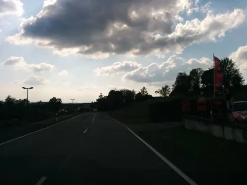
Roter Bär
Restaurant · 1.2 km
15 Braunlager Straße, Braunlage
We-Fr 17:30-21:00; Sa,Su 12:00-21:00; Mo,Tu off
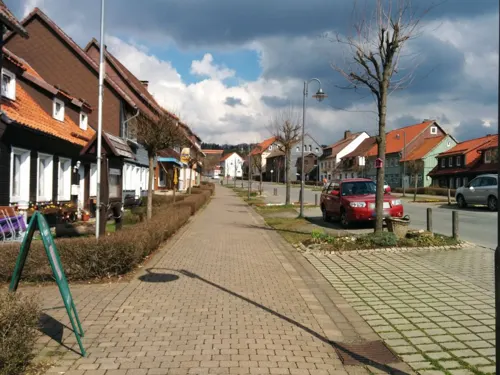
Schützenbaude
Restaurant
42 Schützenstraße, Braunlage
Mo-Fr 15:00+; Sa 14:00+; Su 10:00+; Tu,Th off
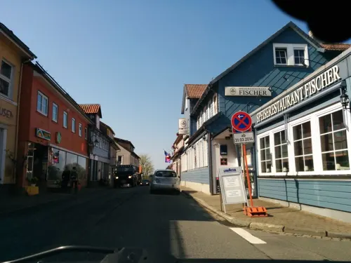


Speiserestaurant Fischer
Restaurant · German
Mo-Su 11:00-14:30,17:30-22:00; We off
4 more on the map.
History
Sankt Andreasberg was founded in the 1480s. It was first mentioned in a letter from the Count Heinrich zu Stolberg to Dietrich von Witzlebenon on 3 November 1487. The establishment of the village took place around the market. The first silver mines are assumed to be the St. Andrews Cross Mine (German: Grube St. Andreaskreuz) at the foot of the Beerberg and the St. Andrews Mine (Grube St. Andreas) by the market. In 1521, St. Andreasberg received the right to mine from Counts Heinrich and Ernst von Hohenstein. It was proclaimed in Mansfelder Land and in the mining areas of Saxony and miners were invited to dig for silver and other metals.
From the History section of Sankt Andreasberg on Wikipedia, under CC BY-SA 4.0.
Where to stay16
Churches and places of worship1
Shopping5
Gas and EV charging1
Schools, colleges and libraries3
Healthcare2
Map of Sankt Andreasberg
119 places. The map loads OpenStreetMap tiles when you open it.
Getting there and nearby towns
Magdeburg-Cochstedt Airport (CSO) is the nearest airport with scheduled flights listed in OpenStreetMap, 64 km away.
- Bad Lauterberg im Harz 9 km south, about 9 min by car
- Herzberg am Harz 14 km southwest, about 14 min by car
- Clausthal-Zellerfeld 17 km northwest, about 17 min by car
- Bad Harzburg 19 km north, about 19 min by car
- Goslar 22 km north, about 22 min by car
- Wernigerode 23 km northeast, about 23 min by car
- Windhausen 23 km west, about 23 min by car
- Vienenburg 27 km north, about 27 min by car
- Duderstadt 28 km southwest, about 28 min by car
- Nordhausen 30 km southeast, about 30 min by car
Drive times are estimates from straight-line distance, not routes.
Local news
Headlines from INDB.
Reviews, tips and questions
Loading what members have shared...
Sources and licences
- GeoNames (CC BY 4.0): population, coordinates, regions and time zone
- Mapillary (see each image): photos
- OpenStreetMap contributors (ODbL 1.0): places, airports, map data
- Wikidata (CC0 1.0): elevation, founding date, time zone, website
- Wikimedia Commons (see each image): photos
- Wikipedia (CC BY-SA 4.0): overview and history text
Photo credits
- AndreasbergSchwalbenherd2, Kassandro, CC BY-SA 3.0
- Glockenberg (Sankt Andreasberg), Ogmios, CC0
- 2021-09-14T15-55-45 Martinikirche Sankt Andreasberg, Ogmios, CC0
- 2021-09-14T15-54-36 Martinikirche Sankt Andreasberg, Ogmios, CC0
- 2021-09-14T15-59-58 Martinikirche Sankt Andreasberg, Ogmios, CC0
- Sankt Andreasberg, HansAchterbahn, CC0
- 2021-09-14T15-59-18 Martinikirche Sankt Andreasberg, Ogmios, CC0
- 2021-09-14T16-00-59 Martinikirche Sankt Andreasberg, Ogmios, CC0
- 2021-09-14T16-01-56 Martinikirche Sankt Andreasberg, Ogmios, CC0
- Dennert-Tanne Lochstein zwischen den Gruben Sankt Andreas und Silberburg in Sankt Andreasberg, Ogmios, CC0
- Teiche Buntenbock, JuTe CLZ, Public domain
- FahrkunstGrSamson2, JuTe CLZ, Public domain
- Bergwiese bei St. Andreasberg DSC 8943orig, Dr. Joachim Döbler, CC BY-SA 4.0
- Samson mine Andreasberg 3, Giorno2, CC BY-SA 3.0
- Beerberg, HansAchterbahn, CC0
- CatharinaNeufangEingang, Kassandro, CC BY-SA 4.0
- Glockenturm Sankt Andreasberg, Ogmios, CC BY 4.0
- Sankt Andreasberg Gefallenendenkmal 2, Ogmios, CC0
- Gaststätte Rinderstall, Thomas Binder, CC BY-SA 4.0
- Galgenberg (Sankt Andreasberg), Burnus, CC0
- Mundloch Roter Bär, Hejkal, CC BY-SA 2.0 de
- Rehberger Grabenhaus, The original uploader was Hejkal at German Wikipedia ., CC BY-SA 2.0 de
- GrubeSamsonWest, Kassandro, CC BY-SA 4.0
- Bergwiese bei St. Andreasberg DSC06217orig, Dr. Joachim Doebler, CC BY-SA 4.0
- AndreasbergNord, User Kassandro on de.wikipedia, Public domain
- Pyrargyrite (32809635117), Pacific Museum of Earth from Canada, CC BY-SA 2.0
- Argentite (46873076262), Pacific Museum of Earth from Canada, CC BY-SA 2.0
- Arsenic (46188480474), Pacific Museum of Earth from Canada, CC BY-SA 2.0
- Breithauptite (47753091421), Pacific Museum of Earth from Canada, CC BY-SA 2.0
- Martinikirche Innentür, Ogmios, CC0
- Martinikirche Taufbecken, Ogmios, CC0
- Schnitzerei des Hl. Andreas in der Martinikirche 3, Ogmios, CC0
- Schnitzerei des Hl. Andreas in der Martinikirche 1, Ogmios, CC0
- Schnitzerei des Hl. Andreas in der Martinikirche 2, Ogmios, CC0
- Erwin Spindler Ansichtskarte St. Andreasberg 2, Erwin Spindler, Public domain
- Erwin Spindler Ansichtskarte St. Andreasberg, Erwin Spindler, Public domain
- Martinikirche Bleiglasfenster Martin Luther, Ogmios, CC0
- Martinikirche Gebet der alten oberharzer Bergleute, Ogmios, CC0
- Martinikirche verzierte Innentür mit Gebet, Ogmios, CC0
- Martinikirche Eule-Orgel 2, Ogmios, CC0
- Martinikirche Sankt Andreasberg, Ogmios, CC0
- Street-level photo, hotteliene, CC BY-SA 4.0
- Street-level photo, lost_found, CC BY-SA 4.0
- Street-level photo, bitnapper, CC BY-SA 4.0
- Street-level photo, saschahaberkorn, CC BY-SA 4.0
- Street-level photo, bitnapper, CC BY-SA 4.0
- Street-level photo, bitnapper, CC BY-SA 4.0
- Street-level photo, bitnapper, CC BY-SA 4.0
- Street-level photo, bitnapper, CC BY-SA 4.0
- Street-level photo, lost_found, CC BY-SA 4.0
- Street-level photo, bitnapper, CC BY-SA 4.0
- Street-level photo, bitnapper, CC BY-SA 4.0
- Street-level photo, bitnapper, CC BY-SA 4.0
- Street-level photo, klypern, CC BY-SA 4.0
- Street-level photo, bitnapper, CC BY-SA 4.0
- Street-level photo, bitnapper, CC BY-SA 4.0
- Street-level photo, bitnapper, CC BY-SA 4.0
- Street-level photo, bitnapper, CC BY-SA 4.0
- Street-level photo, bitnapper, CC BY-SA 4.0
- Street-level photo, bitnapper, CC BY-SA 4.0
- Street-level photo, peterleth, CC BY-SA 4.0
- Street-level photo, bitnapper, CC BY-SA 4.0
- Street-level photo, bitnapper, CC BY-SA 4.0
- Street-level photo, peterleth, CC BY-SA 4.0
- Street-level photo, bitnapper, CC BY-SA 4.0
- Street-level photo, bitnapper, CC BY-SA 4.0


Page built November 9, 2026. Spotted a mistake? Tell us or suggest a place.