
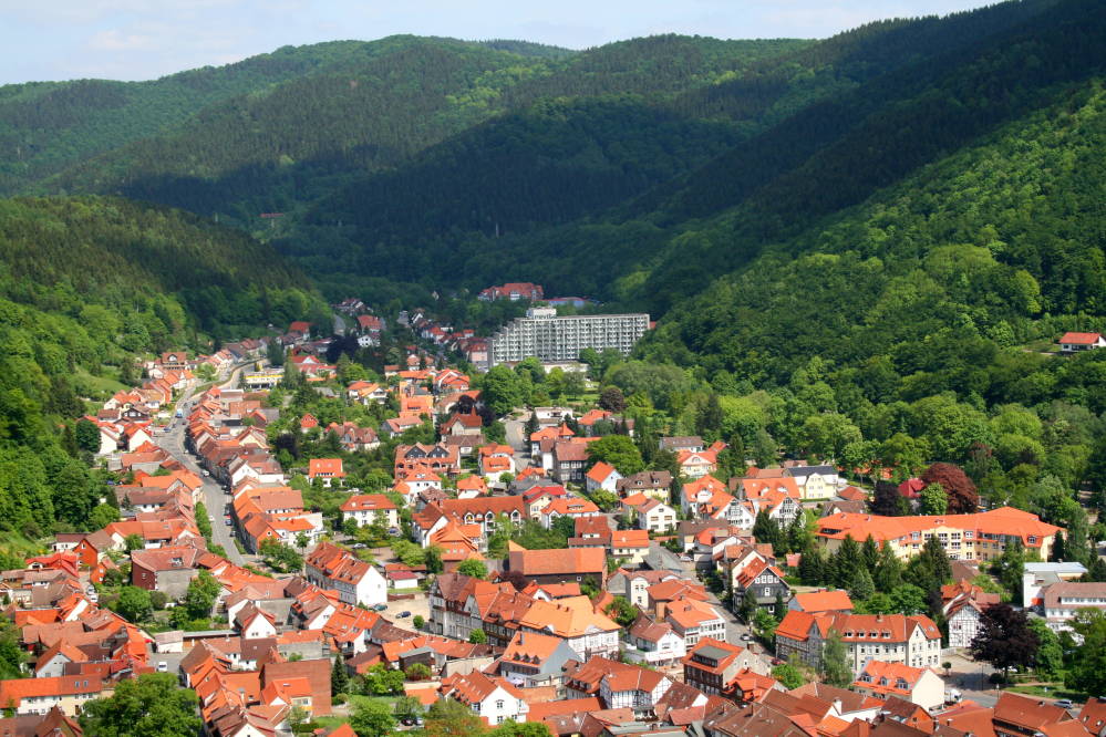


Bad Lauterberg im Harz, Germany
Bad Lauterberg im Harz is a town of 11,784 people in Lower Saxony, Germany.
Why visit Bad Lauterberg im Harz
Townapedia lists 43 museums and landmarks, 15 parks and trails, 56 places to eat, 17 places to stay and 83 attractions in and around town.
Highlights include Unicorn Cave, Bärentalsköpfe, Einhornhöhle and Glasmuseum.
Weather in Bad Lauterberg im Harz
Forecast from MET Norway (CC BY 4.0). Full forecast
About Bad Lauterberg im Harz
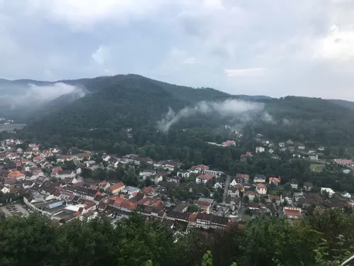
Bad Lauterberg im Harz (German pronunciation: [baːt ˈlaʊtɐbɛʁk ʔɪm ˈhaːɐ̯ts] , lit. 'Bad Lauterberg in the Harz'), commonly known as Bad Lauterberg, is a town in the district of Göttingen, in Lower Saxony, Germany. It is situated in the southern Harz, approx. 15 km southwest of Braunlage, and 20 km southeast of Osterode am Harz.
From the Wikipedia article Bad Lauterberg (this version), under CC BY-SA 4.0.
Things to do83




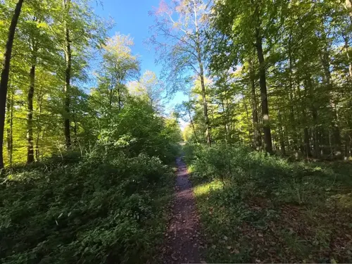
71 more on the map.
Museums and landmarks43


Dreiherrenstein
Monument and historic site · 4.3 km
Historische Grenze Königreich Preußen, Königreich Hannover und Herzogtum Braunschweig bis 1866



Eulenstein
Monument and historic site · 3.9 km
Isolierter herausgewitterter Dolomitfelsen, Naturdenkmal ND-OHA 15 im Landschaftsschutzgebiet LSG-OHA 10 "Harz".
31 more on the map.
Parks, trails and playgrounds15

VITAMAR Freizeit- und Erlebnisbad
Sports field and stadium · 1.2 km
1 Masttal, Bad Lauterberg im Harz
Mo-Su 10:00-21:00




3 more on the map.
Restaurants and cafes56

Café & Konditorei Schnibbe
Cafe · Coffee Shop
137 Hauptstraße, Bad Lauterberg im Harz
PH,Tu-Su 08:30-18:00

Waldgaststätte am Bismarkturm
Restaurant · Cake, German, Ice Cream · 0.9 km
1 Bismarckturm
Mo-Tu,Th-Su 09:00-18:00; We off; PH 09:00-18:00

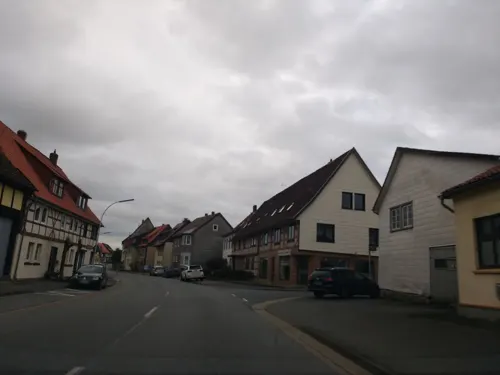
KOPP
Bakery · 4.0 km
81 Barbiser Straße, Bad Lauterberg im Harz
Mo-Fr 06:00-13:00; Sa 06:00-12:00; Su 08:00-11:00
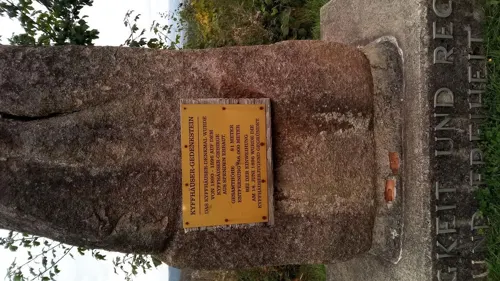
Mamma Mia
Restaurant · Italian
34 Wissmannstraße, Bad Lauterberg im Harz
Tu closed; Mo 12:00-14:30,17:30-22:00; We-Sa...


Helbing
Bakery
143 Hauptstraße, Bad Lauterberg im Harz
Mo-Su 08:00-17:00
44 more on the map.
Where to stay17
Churches and places of worship8
Shopping14
Gas and EV charging4
Georg Piening Mineralölhandel
Gas station · 3.8 km
3 In der Grund, Bad Lauterberg im Harz
Schools, colleges and libraries3
Healthcare6
Map of Bad Lauterberg im Harz
249 places. The map loads OpenStreetMap tiles when you open it.
Getting there and nearby towns
Magdeburg-Cochstedt Airport (CSO) is the nearest airport with scheduled flights listed in OpenStreetMap, 70 km away.
- Herzberg am Harz 9 km west, about 9 min by car
- Duderstadt 20 km southwest, about 20 min by car
- Clausthal-Zellerfeld 22 km northwest, about 22 min by car
- Goslar 30 km north, about 30 min by car
- Northeim 33 km west, about 33 min by car
- Seesen 35 km northwest, about 35 min by car
- Langelsheim 35 km north, about 35 min by car
- Vienenburg 36 km north, about 36 min by car
- Göttingen 39 km west, about 39 min by car
- Bovenden 38 km west, about 38 min by car
Drive times are estimates from straight-line distance, not routes.
Local news
Headlines from INDB.
Reviews, tips and questions
Loading what members have shared...
Sources and licences
- GeoNames (CC BY 4.0): population, coordinates, regions and time zone
- Mapillary (see each image): photos
- OpenStreetMap contributors (ODbL 1.0): places, airports, map data
- Wikidata (CC0 1.0): elevation, founding date, time zone, website, landmarks and historic places
- Wikimedia Commons (see each image): photos
- Wikipedia (CC BY-SA 4.0): overview and history text
Photo credits
- BadLauterberg2008, Pe-sa, CC BY 3.0
- Scharzfeld Einhornhöhle 2, Michael Fiegle, CC BY-SA 3.0
- Hausberg, Agatterm26, CC BY-SA 3.0
- Scharzfels Panorama, The original uploader was AxelHH at German Wikipedia ., Public domain
- NSG-BR 102 Butterberg-Hopfenbusch mit Dolomitfelsen (Barbis) 01, Migebert, CC BY-SA 3.0
- Eingang Harzfalkenhof Bad Sachsa, Klappi1988, CC BY-SA 3.0
- Bad Lauterberg Kirche Benno, Kirchenfan, CC0
- St. Andreas (Bad Lauterberg) Ostgiebel, Migebert, CC BY-SA 3.0
- Dreiherrenstein Ravensberg 02, Migebert, CC BY-SA 3.0
- Am Kirchplatz 2 (Steina) Glasmuseum 01, Migebert, CC BY-SA 3.0
- HausbergvomBismarckturm cropped, Unterwegs in Niedersachsen, CC BY-SA 3.0 de
- Wissmann-Denkmal (Bad Lauterberg) Teich, Migebert, CC BY-SA 3.0
- Ritscher-Denkmal Scholben (Bad Lauterberg) 03, Migebert, CC BY-SA 3.0
- St. Petri (Barbis) 03, Migebert, CC BY-SA 3.0
- Am Kirchplatz 1 (Steina) Katharinenkirche 03, Migebert, CC BY-SA 3.0
- Barbiser Straße 97 (Barbis), Migebert, CC BY-SA 3.0
- Bismarckturm Bad Lauterberg, Stefan Bellini, CC0
- NSG-BR 102 Butterberg-Hopfenbusch mit Dolomitfelsen (Barbis) 02, Migebert, CC BY-SA 3.0
- Schulstraße 62a-62 (Bad Lauterberg), Migebert, CC BY-SA 3.0
- Schulstraße 60 (Bad Lauterberg), Migebert, CC BY-SA 3.0
- Schulstraße 62 (Bad Lauterberg) 01, Migebert, CC BY-SA 3.0
- Bergstadtlinde Naturdenkmal (Bad Lauterberg) 02, Migebert, CC BY-SA 3.0
- Schulstraße 61-67 mit Bergstadtlinde (Bad Lauterberg) 01, Migebert, CC BY-SA 3.0
- Schulstraße 67 (Bad Lauterberg) 01, Migebert, CC BY-SA 3.0
- Schulstraße 56 (Bad Lauterberg) 01, Migebert, CC BY-SA 3.0
- Hauptstraße 170 (Bad Lauterberg) 02, Migebert, CC BY-SA 3.0
- Hauptstraße 172 (Bad Lauterberg) 02, Migebert, CC BY-SA 3.0
- Schulstraße 61-65 (Bad Lauterberg) 01, Migebert, CC BY-SA 3.0
- Hauptstraße 172 (Bad Lauterberg) 01, Migebert, CC BY-SA 3.0
- Bergstadtlinde Naturdenkmal (Bad Lauterberg) 03, Migebert, CC BY-SA 3.0
- Schulstraße 65 (Bad Lauterberg) 02, Migebert, CC BY-SA 3.0
- Hauptstraße 170 (Bad Lauterberg), Migebert, CC BY-SA 3.0
- Bergstadtlinde Naturdenkmal (Bad Lauterberg) Gedenkstein, Migebert, CC BY-SA 3.0
- Schulstraße 65 (Bad Lauterberg) 03, Migebert, CC BY-SA 3.0
- Bergstadtlinde Naturdenkmal (Bad Lauterberg) 01, Migebert, CC BY-SA 3.0
- Schulstraße 65 (Bad Lauterberg) 01, Migebert, CC BY-SA 3.0
- Bergstadtlinde Naturdenkmal (Bad Lauterberg) 04, Migebert, CC BY-SA 3.0
- Schulstraße 63 (Bad Lauterberg) 01, Migebert, CC BY-SA 3.0
- 09174-Bad Lauterberg-1907-Wiesenbecker - Teich-Brück & Sohn Kunstverlag, Brück & Sohn Kunstverlag Meißen, CC0
- 09169-Bad Lauterberg-1907-Forsthaus Kupferhütte-Brück & Sohn Kunstverlag, Brück & Sohn Kunstverlag Meißen, CC0
- Frauenstein, Jan Stubenitzky ( Dehio ), CC BY-SA 3.0 de
- Eulenstein ND (Bad Lauterberg), Sillywalks, CC BY-SA 4.0
- Street-level photo, thetornado76, CC BY-SA 4.0
- Street-level photo, CellerBuerger, CC BY-SA 4.0
- Street-level photo, hotteliene, CC BY-SA 4.0
- Street-level photo, hotteliene, CC BY-SA 4.0
- Street-level photo, sunnyteater, CC BY-SA 4.0
- Street-level photo, hotteliene, CC BY-SA 4.0
- Street-level photo, saschahaberkorn, CC BY-SA 4.0
- Street-level photo, saschahaberkorn, CC BY-SA 4.0
- Street-level photo, bitnapper, CC BY-SA 4.0
- Street-level photo, bitnapper, CC BY-SA 4.0
- Street-level photo, HansTenner, CC BY-SA 4.0
- Street-level photo, hotteliene, CC BY-SA 4.0
- Street-level photo, saschahaberkorn, CC BY-SA 4.0
- Street-level photo, hotteliene, CC BY-SA 4.0
- Street-level photo, saschahaberkorn, CC BY-SA 4.0
- Street-level photo, bitnapper, CC BY-SA 4.0
- Street-level photo, bitnapper, CC BY-SA 4.0
- Street-level photo, bitnapper, CC BY-SA 4.0
- Street-level photo, bitnapper, CC BY-SA 4.0
- Street-level photo, CCFliege, CC BY-SA 4.0
- Street-level photo, saschahaberkorn, CC BY-SA 4.0
- Street-level photo, sunnyteater, CC BY-SA 4.0
- Street-level photo, sunnyteater, CC BY-SA 4.0
- Street-level photo, bitnapper, CC BY-SA 4.0


Page built November 8, 2026. Spotted a mistake? Tell us or suggest a place.