


Why visit Vienenburg
Townapedia lists 29 museums and landmarks, 31 parks and trails, 46 places to eat, 5 places to stay and 75 attractions in and around town.
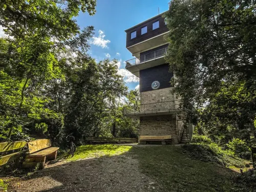
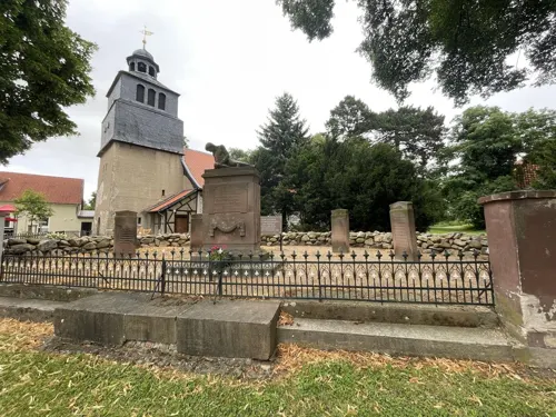
Highlights include Harlyturm, Armelahberg, Eisenbahnmuseum Vienenburg and Gefallenendenkmal.
Weather in Vienenburg
Forecast from MET Norway (CC BY 4.0). Full forecast
About Vienenburg
Vienenburg (German pronunciation: [ˈfiːnənbʊʁk]) is a borough of Goslar, capital of the Goslar district, in Lower Saxony, Germany. The former independent municipality was incorporated in Goslar on 1 January 2014.
From the Wikipedia article Vienenburg (this version), under CC BY-SA 4.0.
Things to do75



63 more on the map.
Museums and landmarks29



Royal palace of Werla
Monument and historic site · 9.5 km
10th century palace of the Holy Roman Empire, located in Lower Saxony

Schloss Bündheim
Monument and historic site · 7.1 km
10 Gestütstraße, Bad Harzburg


Gottsched-Platz
Monument and historic site · 1.5 km
1913 bis 1925 Zum Gedenken an Forstmeister Gottsched für die Nachzucht und Pflege der Eichen im Harlyberge
17 more on the map.
Parks, trails and playgrounds31


Oker- und Eckertal in den Landkreisen Goslar und Wolfenbüttel
Hiking and trails · 1.2 km




19 more on the map.
Restaurants and cafes46

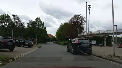
Cafe im historischen Bahnhof
Cafe
8 Bahnhofstraße, Goslar
Tu-Sa 11:00-17:00; Su 11:00-18:00; PH 11:00-18:00; Mo off
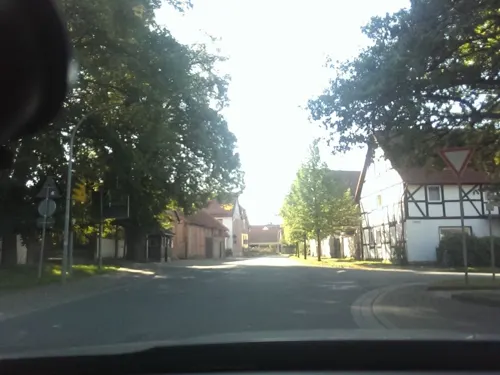
Der Kuhstall Am Finkenherd
Restaurant · Steak House · 1.9 km
75 Osterwiecker Straße, Goslar
Th, Fr 17:00-21:00; Sa, Su 11:00-14:00, 17:00-21:00
Ristorante Pizzeria da Mimmo
Restaurant · Italian · 5.7 km
21 Fasanenstraße, Bad Harzburg
We-Sa 17:00-22:30; PH, Su 11:30-15:00, 17:00-22:30
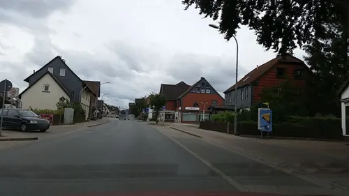
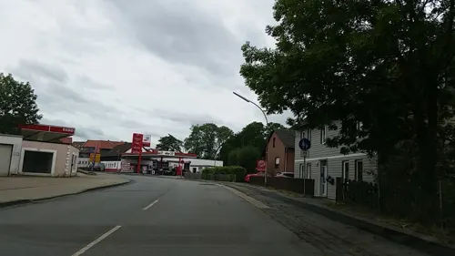


Ristorante Pizzeria La Locanda
Restaurant · Pizza · 6.8 km
19 Breite Straße, Bad Harzburg
Th-Mo,PH 11:30-14:30,17:30-22:30; Tu,We off

34 more on the map.
History
The Harlyberg hill (256m/840 ft) north of the town was the site of a castle built in 1203 by the Welf king Otto IV of Germany to threaten the trade route to Goslar, as its citizens supported his Hohenstaufen rival Duke Philip of Swabia. After Otto's death in 1218 the castle became a property of the Welf Dukes of Brunswick-Lüneburg and a thorn in the side of the Bishops of Hildesheim, while the garrisons of the castle were notorious for permanently robbing bypassing merchants. Therefore, Prince-bishop Siegfried II of Hildesheim declared war against Duke Henry I of Brunswick and in 1291 took and slighted the castle. Some moats are still visible today. A modern observation tower stands nearby.
A second castle up de Viene was first mentioned in a 1306 deed. It was erected by the Counts of Wernigerode, then at the behest of the Hildesheim prince-bishops, who purchased it in 1367. After the Hildesheim Diocesan Feud, the castle was occupied by Duke Henry V of Brunswick-Wolfenbüttel. During the Thirty Years' War, it was conquered by the Imperial troops of Albrecht von Wallenstein in 1626. The estates were restored to the Bishopric of Hildesheim in 1647.
From the History section of Vienenburg on Wikipedia, under CC BY-SA 4.0.
Where to stay5
Churches and places of worship17
St. Nicolai
Church · Protestant · 5.5 km
6A Kirchstraße, Bad Harzburg
Shopping14
Gas and EV charging4
Schools, colleges and libraries13
Healthcare3
Map of Vienenburg
237 places. The map loads OpenStreetMap tiles when you open it.
Getting there and nearby towns
Forschungsflughafen Braunschweig-Wolfsburg (BWE) is the nearest airport with scheduled flights listed in OpenStreetMap, 41 km away.
- Wolfenbüttel 24 km north, about 24 min by car
- Salzgitter 25 km northwest, about 25 min by car
- Bockenem 30 km west, about 30 min by car
- Braunschweig 35 km north, about 35 min by car
- Bad Gandersheim 38 km west, about 38 min by car
- Wendeburg 44 km north, about 44 min by car
- Hildesheim 47 km northwest, about 47 min by car
- Wolfsburg 54 km north, about 54 min by car
- Göttingen 64 km southwest, about 1 h by car
- Hannover 73 km northwest, about 1 h 15 min by car
Drive times are estimates from straight-line distance, not routes.
Local news
Headlines from INDB.
Reviews, tips and questions
Loading what members have shared...
Sources and licences
- GeoNames (CC BY 4.0): population, coordinates, regions and time zone
- Mapillary (see each image): photos
- OpenStreetMap contributors (ODbL 1.0): places, airports, map data
- Wikidata (CC0 1.0): elevation, founding date, time zone, website, landmarks and historic places
- Wikimedia Commons (see each image): photos
- Wikipedia (CC BY-SA 4.0): overview and history text
Photo credits
- Ortskern Vienenburg, B.Thomas95, CC BY-SA 3.0
- Vienenburg Rathaus, TeWeBs, CC BY-SA 4.0
- Vienenburg Grubenhunt, TeWeBs, CC BY-SA 4.0
- Heilige Familie Vienenburg Inneres 01, Rabanus Flavus, CC0
- Vienenburg Heilige Familie Psalm 122, Rabanus Flavus, CC0
- Heilige Familie Vienenburg Inneres 02, Rabanus Flavus, CC0
- Friedrich Reese (Vienenburg), Porträt: Unknown author Unknown author ; Foto: Rabanus Flavus, CC0
- Friedrich Reese (Vienenburg, Detail), Unknown author Unknown author, Public domain
- Vienenburg Bischof-Rese-Haus 1, Kirchenfan, CC0
- Vienenburg Bischof-Rese-Haus 2, Kirchenfan, CC0
- Vienenburg Bahnhof 2015-1, Kirchenfan, CC0
- Abellio 1648 927 Vienenburg 2403231849, Clic, CC BY 4.0
- Vienenburg Friedhofskapelle, Kirchenfan, CC0
- Vienenburg Bhf Prellbock, TeWeBs, CC BY-SA 4.0
- Abellio 1648 427 Vienenburg 2403231846, Clic, CC BY 4.0
- Vienenburg Bhf Kohlenlore, TeWeBs, CC BY-SA 4.0
- Vienenburg Bhf Diesellok, TeWeBs, CC BY-SA 4.0
- Vienenburg Bhf Begleitwagen, TeWeBs, CC BY-SA 4.0
- Vienenburg Bhf Lok-Fabrikschild, TeWeBs, CC BY-SA 4.0
- 08.1-Ältester Bf. Deutschlands, Vienenburg, 12-10-2014, Burkhard Achilles, CC BY-SA 4.0
- 2023-11-30 095945 Bahnhof Vienenburg, Tim Rademacher, CC BY-SA 4.0
- 2023-11-30 100406 Bahnhof Vienenburg, Tim Rademacher, CC BY-SA 4.0
- Vienenburg Familie Ost, Kirchenfan, CC0
- 2023-11-30 100854 Bahnhof Vienenburg, Tim Rademacher, CC BY-SA 4.0
- Vienenburg Bhf Streckenfernsprecher, TeWeBs, CC BY-SA 4.0
- Bahnhof Vienenburg am 16.11.2019 01, Christian Alexander Tietgen, CC BY 4.0
- Vienenburg Bhf Wasserkran, TeWeBs, CC BY-SA 4.0
- Vienenburg Bhf Zugschlusstafel, TeWeBs, CC BY-SA 4.0
- Bahnhof Vienenburg, Südblick, April 2023, Nin-TD, CC0
- Bahnhof Vienenburg am 16.11.2019 03, Christian Alexander Tietgen, CC BY 4.0
- Bahnhof Vienenburg am 16.11.2019 04, Christian Alexander Tietgen, CC BY 4.0
- Vienenburg (9098410575), David Short from Windsor, UK, CC BY 2.0
- Bahnhof Vienenburg am 16.11.2019 05, Christian Alexander Tietgen, CC BY 4.0
- Bahnhof Vienenburg am 16.11.2019 02, Christian Alexander Tietgen, CC BY 4.0
- Vienenburg Bhf Laeutewerk, TeWeBs, CC BY-SA 4.0
- Vienenburg Bhf Prellbock 2, TeWeBs, CC BY-SA 4.0
- WerlaWestturmVonSueden, Okernick, CC BY-SA 3.0
- Langenberg Harz, Nin-TD, CC BY-SA 3.0
- Harliburg Burggelände uneben, Axel Hindemith, CC BY-SA 3.0
- Burgruine Vienenburg Burggebäude, Axel Hindemith, CC BY-SA 3.0
- Butterberg, Dr. Helmut Kulik aus Bad Harzburg-Westerode, CC BY-SA 3.0
- HarlyAmVienenburgerSee, Okernick, CC BY-SA 3.0
- 05.1-Sohlabsturz, Okertal bei Vienenburg, 10-05-2015, Burkhard Achilles, CC BY-SA 4.0
- Wiedelah Kirche kath, Kirchenfan, CC0
- Buendheim Kirche Gregor, Kirchenfan, CC0
- St. Marien-Kirche Harlingerode, Nin-TD, CC BY 3.0
- BuendheimSchloss, Kassandro, CC BY-SA 3.0
- OkerSchladen2, Okernick, CC BY-SA 3.0
- SchleweckeDorfkircheSeite1, Nin-TD, CC BY-SA 4.0
- St.-Nicolai-Kirche Westerode, Dr. Helmut Kulik aus Bad Harzburg-Westerode, CC BY-SA 3.0
- Deilich Haupteingang, Nin-TD, CC BY-SA 4.0
- Kirche Abbenrode, Benutzer:Hejkal, CC BY-SA 3.0 de
- Eisenbahnmuseum Vienenburg außen 3, Stefan Flöper, CC BY-SA 4.0
- Gutskirche Wülperode, Vincent Hoogland, CC BY-SA 3.0
- Bühne (Osterwieck), die Dorfkirche, Dguendel, CC BY 3.0
- Kirche Rimbeck (Osterwieck) P1160433, Goldmull, CC BY 4.0
- OkertalCIMG3571, Okernick, CC BY-SA 3.0
- Street-level photo, sunnyteater, CC BY-SA 4.0
- Street-level photo, tian, CC BY-SA 4.0
- Street-level photo, tian, CC BY-SA 4.0
- Street-level photo, live, CC BY-SA 4.0
- Street-level photo, tian, CC BY-SA 4.0
- Street-level photo, tian, CC BY-SA 4.0
- Street-level photo, surveyor99, CC BY-SA 4.0
- Street-level photo, surveyor99, CC BY-SA 4.0
- Street-level photo, thetornado76, CC BY-SA 4.0
- Street-level photo, aceini, CC BY-SA 4.0
- Street-level photo, thetornado76, CC BY-SA 4.0
- Street-level photo, tian, CC BY-SA 4.0
- Street-level photo, tian, CC BY-SA 4.0
- Street-level photo, tian, CC BY-SA 4.0
- Street-level photo, tian, CC BY-SA 4.0
- Street-level photo, tian, CC BY-SA 4.0
- Street-level photo, Hightower-, CC BY-SA 4.0
- Street-level photo, britiger, CC BY-SA 4.0
- Street-level photo, Langfahrer, CC BY-SA 4.0
- Street-level photo, thetornado76, CC BY-SA 4.0


Page built November 8, 2026. Spotted a mistake? Tell us or suggest a place.