


Why visit Satrup
Townapedia lists 8 museums and landmarks, 3 parks and trails, 10 places to eat, 3 places to stay and 4 attractions in and around town.
Highlights include Jahnkes Ziegenkäse, Hofladen Ankersolt, Satruphuus and Pinnesgrab.
Weather in Satrup
Forecast from MET Norway (CC BY 4.0). Full forecast
About Satrup
Satrup (German pronunciation: [ˈzaːtʁʊp]) is a village and a former municipality in the district of Schleswig-Flensburg, in Schleswig-Holstein, Germany. It is situated approximately 20 km north of Schleswig, and 15 km southeast of Flensburg. Since 1 March 2013, it is part of the municipality Mittelangeln. Satrup is the seat of the Amt ("collective municipality") Mittelangeln.
From the Wikipedia article Satrup (this version), under CC BY-SA 4.0.
Photos of Satrup


Things to do4
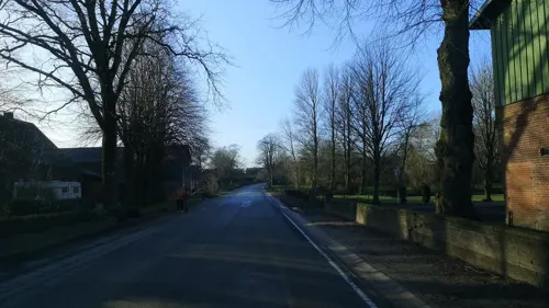

Jahnkes Ziegenkäse
Farm and orchard · 2.4 km
6 See-Ender-Straße, Sörup
Tu,Fr 13:00-17:00; Sa 10:00-12:00,13:00-18:00
Museums and landmarks8
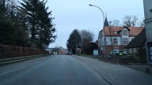


Flensburg Kreisbahn
Monument and historic site · 3.0 km
Ehemalige Kleinbahnstrecke Flensburg–Rundhof
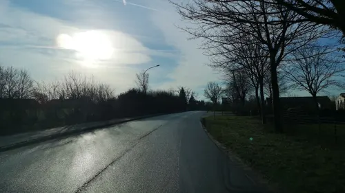
Schleswiger Kreisbahn
Monument and historic site · 1.0 km
Ehemalige Eisenbahn Schleswig Altstadt–Satrup
Parks, trails and playgrounds3



Restaurants and cafes10
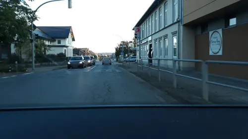
Taverna Kreta
Restaurant · Greek
1a Bahnhofstraße, Mittelangeln
Tu-Sa 17:00-22:30; Su 17:00-23:00; Mo off
Antalya
Fast food · Kebab, Pizza · 0.6 km
28 Flensburger Straße, Mittelangeln
Mo-Su 11:00-22:00

Thaysen
Bakery · 0.6 km
4 Hans-Redlefsen-Straße, Mittelangeln
Mo-Fr 07:00-18:00; Sa 07:00-18:00; Su 07:30-10:30

Martins Brutzelecke
Fast food · Fast Food
6 Mühlenstraße, Mittelangeln
Mo-Sa 11:00-14:00,17:00-20:00; Su off
Where to stay3
Churches and places of worship2
Shopping7
Gas and EV charging1
Schools, colleges and libraries5
Healthcare2
Map of Satrup
45 places. The map loads OpenStreetMap tiles when you open it.
Getting there and nearby towns
Flugplatz Flensburg-Schäferhaus (FLF) is the nearest airport with scheduled flights listed in OpenStreetMap, 17 km away.
- Tarp 14 km west, about 14 min by car
- Flensburg 15 km northwest, about 15 min by car
- Schleswig 19 km south, about 19 min by car
- Harrislee 19 km northwest, about 19 min by car
- Eckernförde 29 km southeast, about 29 min by car
- Husum 42 km southwest, about 42 min by car
- Büdelsdorf 42 km south, about 42 min by car
- Rendsburg 44 km south, about 44 min by car
- Westerrönfeld 46 km south, about 46 min by car
- Kiel 54 km southeast, about 54 min by car
Drive times are estimates from straight-line distance, not routes.
Towns near Satrup


Keep exploring
Local news
Headlines from INDB.
Reviews, tips and questions
Loading what members have shared...
Sources and licences
- GeoNames (CC BY 4.0): population, coordinates, regions and time zone
- Mapillary (see each image): photos
- OpenStreetMap contributors (ODbL 1.0): places, airports, map data
- Wikidata (CC0 1.0): elevation, founding date, time zone, website
- Wikimedia Commons (see each image): photos
- Wikipedia (CC BY-SA 4.0): overview and history text
Photo credits
- Satrup Kirche, Clemensfranz, CC BY 2.5
- Mittelangeln Satrup Kirche 01, Clemensfranz, CC BY-SA 4.0
- Satrup (Mittelangeln), the church St. Laurentius, Dguendel, CC BY 3.0
- Mittelangeln Satrup Kirchentor, Clemensfranz, CC BY-SA 4.0
- Satrup (Mittelangeln), church St. Laurentius, former upper part of an altar, Dguendel, CC BY 3.0
- Satrup (Mittelangeln), church St. Laurentius, the Cross Group, Dguendel, CC BY 3.0
- Satrup (Mittelangeln), church St. Laurentius, the organ, Dguendel, CC BY 3.0
- Satrup (Mittelangeln), church St. Laurentius, the baptismal font, Dguendel, CC BY 3.0
- Kgl Priv Apotheke Satrup, Clemensfranz, CC BY-SA 4.0
- Mittelangeln Satrup Kirche 04, Clemensfranz, CC BY-SA 4.0
- Mittelangeln Satrup Kirche 03, Clemensfranz, CC BY-SA 4.0
- Mittelangeln Satrup Kirche 02, Clemensfranz, CC BY-SA 4.0
- Apotheke Satrup Mittelangeln, Clemensfranz, CC BY-SA 4.0
- Neubaugebiet Satrup, Steffen Trumpf, CC BY 4.0
- Kohlfeld, Satrup, Christian Alexander Otto, CC BY 4.0
- Bondebrück, Abzweig Satrupholm, Rüde, Christian Alexander Otto, CC BY 4.0
- Satrupholm, Satrup, Christian Alexander Otto, CC BY 4.0
- Schmiedebergstraße, Satrup, Christian Alexander Otto, CC BY 4.0
- Rehbergholz Langbett 1 c, Holger rix, CC BY-SA 3.0
- Hechtmoor-6 2020, Hein.Mück, CC BY-SA 4.0
- Stadtbücherei Glücksburg 2015, Roland Struwe, CC BY-SA 4.0
- Hechtmoor1 2020, Hein.Mück, CC BY-SA 4.0
- Die Sankt-Laurentius-Kirche - Innenansicht, Dguendel, CC BY-SA 3.0
- Die Apotheke, Dguendel, CC BY-SA 3.0
- FFH-Gebiet Wälder an der Bondenau (1 von 27), Kommentator1989, CC BY-SA 4.0
- FFH-Gebiet Wälder an der Bondenau (2 von 27), Kommentator1989, CC BY-SA 4.0
- FFH-Gebiet Wälder an der Bondenau (3 von 27), Kommentator1989, CC BY-SA 4.0
- FFH-Gebiet Wälder an der Bondenau (17 von 27), Kommentator1989, CC BY-SA 4.0
- FFH-Gebiet Wälder an der Bondenau (14 von 27), Kommentator1989, CC BY-SA 4.0
- FFH-Gebiet Wälder an der Bondenau (15 von 27), Kommentator1989, CC BY-SA 4.0
- FFH-Gebiet Wälder an der Bondenau (16 von 27), Kommentator1989, CC BY-SA 4.0
- FFH-Gebiet Wälder an der Bondenau (12 von 27), Kommentator1989, CC BY-SA 4.0
- FFH-Gebiet Wälder an der Bondenau (13 von 27), Kommentator1989, CC BY-SA 4.0
- FFH-Gebiet Wälder an der Bondenau (11 von 27), Kommentator1989, CC BY-SA 4.0
- FFH-Gebiet Wälder an der Bondenau (4 von 27), Kommentator1989, CC BY-SA 4.0
- FFH-Gebiet Wälder an der Bondenau (5 von 27), Kommentator1989, CC BY-SA 4.0
- Street-level photo, hoeckie, CC BY-SA 4.0
- Street-level photo, hagbartceline, CC BY-SA 4.0
- Street-level photo, hagbartceline, CC BY-SA 4.0
- Street-level photo, hagbartceline, CC BY-SA 4.0
- Street-level photo, hagbartceline, CC BY-SA 4.0
- Street-level photo, hoeckie, CC BY-SA 4.0
- Street-level photo, hagbartceline, CC BY-SA 4.0
- Street-level photo, hagbartceline, CC BY-SA 4.0
- Street-level photo, trulala, CC BY-SA 4.0
- Street-level photo, hagbartceline, CC BY-SA 4.0
- Street-level photo, hagbartceline, CC BY-SA 4.0
- Street-level photo, hagbartceline, CC BY-SA 4.0
- Street-level photo, hagbartceline, CC BY-SA 4.0


Page built November 9, 2026. Spotted a mistake? Tell us or suggest a place.