


Why visit Tarp
Townapedia lists 5 museums and landmarks, 6 parks and trails, 15 places to eat, 2 places to stay and 1 attraction in and around town.
Highlights include Neue Erde.
Weather in Tarp
Forecast from MET Norway (CC BY 4.0). Full forecast
About Tarp
Tarp (also Danish: Tarup) is a municipality in the district of Schleswig-Flensburg, in Schleswig-Holstein, Germany within the county Kreis Schleswig-Flensburg.
From the Wikipedia article Tarp, Germany (this version), under CC BY-SA 4.0.
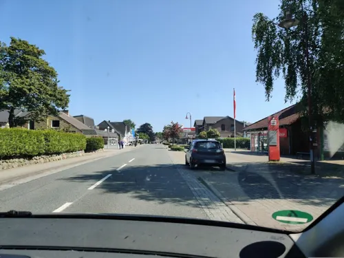
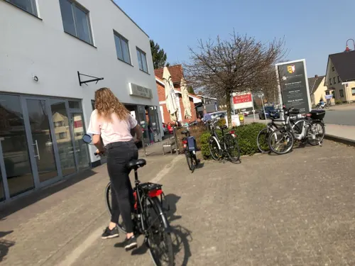
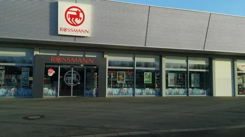
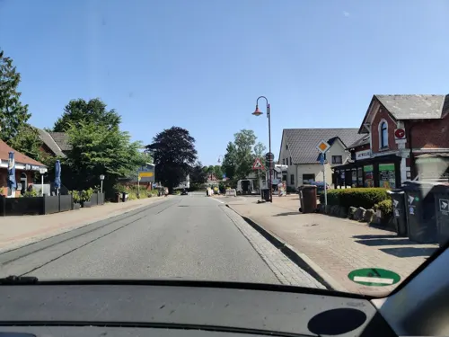
Photos of Tarp


Things to do1

Museums and landmarks5


Parks, trails and playgrounds6

Restaurants and cafes15
Medelbyer Landbäckerei
Bakery
6 Stapelholmer Weg, Tarp
Mo-Fr 06:00-18:00; Sa 06:00-16:00; Su 07:30-16:00
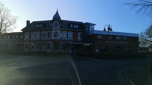
Ellada
Restaurant · International
3 Dorfstraße, Tarp
Mo-Su 17:00-22:00
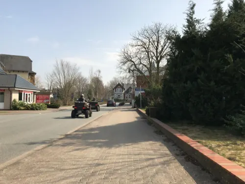
Kleine Tarper Backstube
Bakery
5 Bahnhofstraße, Tarp
Mo off; Sa 07:00-12:00; Su 07:00-11:00; Tu off; We-Fr 06:00-12:00
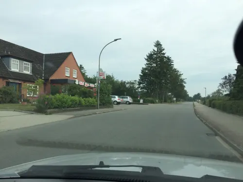
Bäckerei Konditorei Hansen
Bakery · 3.8 km
Mo-Fr 06:00-18:00; Sa 06:00-12:00; Su 07:30-10:30
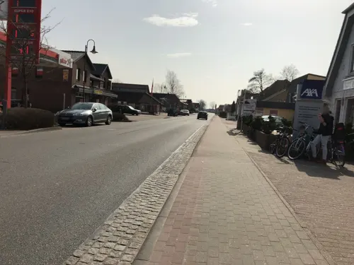
Delal Döner
Fast food · Kebab
11 Stapelholmer Weg, Tarp
Su-Th 10:30-22:30; Fr,Sa 10:30-23:00

Bäckerei Hansen
Bakery · 3.3 km
7a Flensburger Straße, Sieverstedt
Mo-Sa 06:30-11:00; Su 07:30-10:30

3 more on the map.
History
Tarp is first mentioned in 1448. The place name is derived from the Frisian male name Tati or Tade, which in the 15th century is known exclusively from southern Schleswig, but in older sources also appears in Northern Jutland, on the islands, in Scania and Sweden. Tornskov is first mentioned in 1448, derived from the tree name tjørn . Kjeldbæk is documented for the first time in 1399/1407 (Dipl. Flensb.). The future is happy. kelda for spring or well. The suffix denotes a small stream.
Read more of the history
The area Bredde med Breddesig in the north is first mentioned in 1781, designated agerjod north of the village. The area Horshave (Hashau) in the east is first mentioned in 1694. The prefix is hors (horse), the suffix is have, denotes meadows by Trenen. The name Kølbjerg (Köhlbarg) is presumably taken from glda. club for club. Skelkær (Schellkier) in the south is first mentioned in 1695. The prefix is subs. skel (border), thus denotes meadows at a border crossing. The new 41-hectare detached house quarter Schellenpark on Langager in the south-west has its (new) name, on the other hand, from the plant name ty. Kuhschelle for cow bells (corresponding to (cow) bell park ), which is found here at Trenen. The area Vikær (Wiekier) was first documented in 1780. The prefix is the plant name vie (white-arrow ). The meadow at the junction with Frørup is called Harkile. The school language in Tarup was Danish until 1864.
Tarp's attraction is the Dutch mill Antje from 1882. In the town, there is also a collection of 72 walking blocks (Findlingsgarten) with explanations about the stone's origin and material, as well as an owl path (Eulenpfad) with 64 owls as wooden sculptures in and around Tarp.
Tarp's municipal coat of arms shows an owl over a wave in the Schleswig/Sonderjutland colors blue and yellow. The owl refers to Ugle Herred, the wave to Trenen.
From the History section of Tarp, Germany on Wikipedia, under CC BY-SA 4.0.
More about Tarp
Geography
Tarp is located on the river Trenen west of Lusangel on the sandy gest . North-west of the village by Trenen and near Troldskær and Frørup Skov (Frørup Bjerge) lies Tarp Forest. The municipality also includes (in addition to Tarp) Kildevang (Kielswang ), Tornskov (Tornschau) and Kjeldbæk (in Danish also Kilbæk, German Keelbek ), which were incorporated into the municipality in 1970. Kjeldbæk is located by the stream of the same name, which originates in Ebbesdam ug flows west of the city into the Trenen.
From the Wikipedia article Tarp, Germany, under CC BY-SA 4.0.
Where to stay2
Churches and places of worship3
Shopping8
Gas and EV charging3
Schools, colleges and libraries3
Trene Skolen Grundschule mit Gemeinschaftsschulteil
School · 0.9 km
45 Stapelholmer Weg, Tarp
Healthcare2
Map of Tarp
48 places. The map loads OpenStreetMap tiles when you open it.
Getting there and nearby towns
Flugplatz Flensburg-Schäferhaus (FLF) is the nearest airport with scheduled flights listed in OpenStreetMap, 12 km away.
- Flensburg 14 km north, about 14 min by car
- Harrislee 15 km north, about 15 min by car
- Schleswig 20 km southeast, about 20 min by car
- Husum 30 km southwest, about 30 min by car
- Eckernförde 36 km southeast, about 36 min by car
- Büdelsdorf 43 km southeast, about 43 min by car
- Rendsburg 44 km southeast, about 44 min by car
- Westerrönfeld 46 km south, about 46 min by car
- Tönning 49 km southwest, about 49 min by car
- Kiel 61 km southeast, about 1 h by car
Drive times are estimates from straight-line distance, not routes.
Towns near Tarp


Keep exploring
Local news
Headlines from INDB.
Reviews, tips and questions
Loading what members have shared...
Sources and licences
- GeoNames (CC BY 4.0): population, coordinates, regions and time zone
- Mapillary (see each image): photos
- OpenStreetMap contributors (ODbL 1.0): places, airports, map data
- Wikidata (CC0 1.0): elevation, founding date, time zone, website
- Wikimedia Commons (see each image): photos
- Wikipedia (CC BY-SA 4.0): overview and history text
Photo credits
- Tarp Bahnhof 2008-10-09, Niteshift ( talk ), CC BY 3.0
- TarpDanskeKirke1, KasperMer, CC BY-SA 4.0
- TarpDanskeKirke2, KasperMer, CC BY-SA 4.0
- Bahnhof Tarp Parkplatzneubau 2020, Marseille77, CC BY-SA 4.0
- Bahnübergang Bhf Tarp 2020, Marseille77, CC BY-SA 4.0
- Bahnhof Tarp, Henn000, CC BY 3.0
- Bahnhofstraße 2A Tarp, Marseille77, CC BY-SA 4.0
- Bahnof Tarp B 2020, Marseille77, CC BY-SA 4.0
- Bahnhof Tarp B 2020, Marseille77, CC BY-SA 4.0
- Gefallenendenkmal Tarp Schulstraße, Marseille77, CC BY-SA 4.0
- MFG2 MK tarp Vereinsladen, Marseille77, CC BY-SA 4.0
- Gefallenendenkmal Tarp Schulstraße Detail, Marseille77, CC BY-SA 4.0
- Aldi Markt Tarp, Marseille77, CC BY-SA 4.0
- Amtverwaltung Oeversee in Tarp, Marseille77, CC BY-SA 4.0
- Freiwillige Feuerwehr Tarp 2018, Marseille77, CC BY-SA 4.0
- Windmühle Antje Tarp, Marseille77, CC BY-SA 4.0
- Mühle Antje Tarp 2019, Marseille77, CC BY-SA 4.0
- Tarp Windmuehle 2008-10-09, Niteshift ( talk ), CC BY 3.0
- Findlingsgarten Tarp, Thiemo Schuff, CC BY-SA 3.0 de
- Steine mit Hinweisschild Findlingsgarten und Eulenwanderpfad (Tarp 2015), Soenke Rahn, CC BY-SA 4.0
- Katholische Kirche St. Martin Tarp, Marseille77, CC BY-SA 4.0
- TrenehyttenFDFTarp, KasperMer, CC BY-SA 4.0
- Treene Tarp 2018, Marseille77, CC BY-SA 4.0
- Kleine Brücke Treene Tarp, Marseille77, CC BY-SA 4.0
- Oeversee-Marsch, eine Flensburger Tradition 2015, Bild 103, Soenke Rahn, CC BY-SA 4.0
- Oeversee-Marsch, eine Flensburger Tradition 2015, Bild 105, Soenke Rahn, CC BY-SA 4.0
- Oeversee-Marsch, eine Flensburger Tradition 2015, Bild 104, Soenke Rahn, CC BY-SA 4.0
- Oeversee-Marsch, eine Flensburger Tradition 2015, Bild 119, Soenke Rahn, CC BY-SA 4.0
- Street-level photo, systec, CC BY-SA 4.0
- Street-level photo, MTRNord, CC BY-SA 4.0
- Street-level photo, hagbartceline, CC BY-SA 4.0
- Street-level photo, MTRNord, CC BY-SA 4.0
- Street-level photo, hagbartceline, CC BY-SA 4.0
- Street-level photo, MTRNord, CC BY-SA 4.0
- Street-level photo, systec, CC BY-SA 4.0
- Street-level photo, systec, CC BY-SA 4.0
- Street-level photo, systec, CC BY-SA 4.0
- Street-level photo, MTRNord, CC BY-SA 4.0
- Street-level photo, MTRNord, CC BY-SA 4.0
- Street-level photo, MTRNord, CC BY-SA 4.0
- Street-level photo, MTRNord, CC BY-SA 4.0
- Street-level photo, mapnerd_dk, CC BY-SA 4.0
- Street-level photo, MTRNord, CC BY-SA 4.0
- Street-level photo, systec, CC BY-SA 4.0
- Street-level photo, mapnerd_dk, CC BY-SA 4.0
- Street-level photo, systec, CC BY-SA 4.0
- Street-level photo, hagbartceline, CC BY-SA 4.0


Page built November 9, 2026. Spotted a mistake? Tell us or suggest a place.