


Why visit Selm
Townapedia lists 45 museums and landmarks, 41 parks and trails, 99 places to eat, 11 places to stay and 7 attractions in and around town.
Highlights include Hof Balster, B&S Alpaka, Burg Botzlar and Haus Sandfort.
Weather in Selm
Forecast from MET Norway (CC BY 4.0). Full forecast
About Selm
Selm (German pronunciation: [zɛlm] ) is a town in the district of Unna, in North Rhine-Westphalia, Germany. It is situated approximately 20 kilometers north of Dortmund and 25 kilometers west of Hamm.
From the Wikipedia article Selm (this version), under CC BY-SA 4.0.
Things to do7

B&S Alpaka
Farm and orchard · 3.4 km
Nov-Feb: We 16:00-18:00;Sa 10:00-13:00; "Sowie nach Vereinbarung"


Museums and landmarks45

Burg Botzlar
Monument and historic site · 0.7 km
3 Botzlarstraße, Selm





33 more on the map.
Parks, trails and playgrounds41




YC Dortmund Ems e.V. Olfen
Marina and boat launch · 4.5 km
Strom, Wasser, Dusche, WC, Brötchenservice vom Hafenmeister

29 more on the map.
Restaurants and cafes99
Mutter Althoff
Restaurant · Regional · 4.8 km
42 Hauptstraße, Olfen
Mo-Tu 17:00-21:00; We-Sa 17:00-21:00; Su 12:00-20:00
Leo's by Gino
Restaurant · Pizza · 6.1 km
37 Bilholtstraße, Olfen
Mo-Th 12:00-22:00; Fr-Sa 12:00-23:00; Su 12:00-22:00
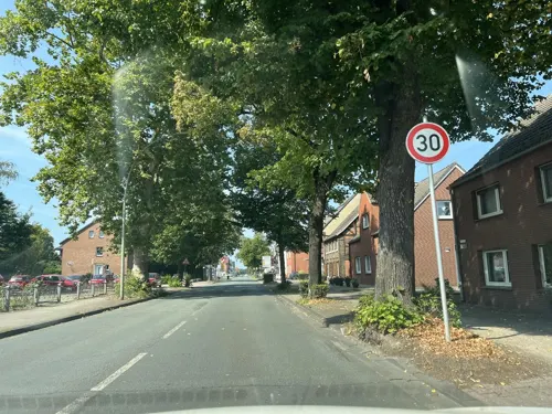
Restaurant Olympia
Restaurant · Greek · 1.2 km
1 Olfener Straße, Selm
Mo,We-Sa 17:00-23:00; Su 12:00-14:30,17:00-23:00; PH...
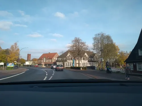

Gartencafé Lünemann
Cafe · German, Coffee Shop · 6.0 km
73 Borker Straße, Selm
May-Dec: Fr-Su 13:00-18:00
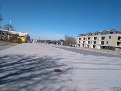
Kunstwerk Restaurant
Restaurant · Burger
7 Campus, Selm
Mo-Th 08:00-23:00; Fr-Sa 08:00-01:00; Su 10:00-23:00
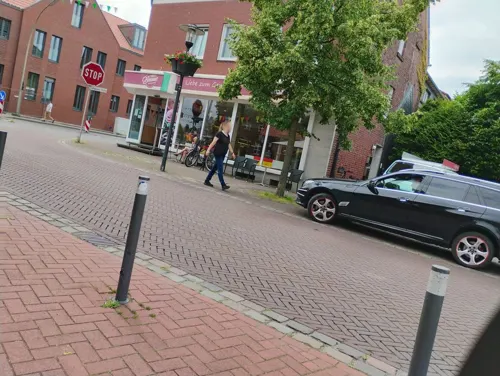
Olympia Grill&Pizza
Restaurant · Greek · 6.0 km
1 Ludwig-Becker-Platz, Nordkirchen
Mo,We-Sa 11:30-22:00; Tu off; Su 13:00-22:00; PH 13:00-22:00
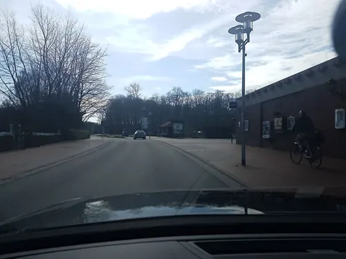


Plettenberger Hof
Restaurant · 6.1 km
28 Schloßstraße, Nordkirchen
Tu-Sa 12:00-24:00; Th 12:00-15:00; Su 12:00-21:00
87 more on the map.
History
The first traces of living people in the area date from the younger half of the Stone Age.
In the early Middle Ages Selm was ruled by the count of Cappenberg, then by the bishop of Münster. In the beginning of the 19th century it was transferred to Prussia, to which it remained, as part of the province of Westphalia, until 1946.
In 1906 the coal mine Zeche Hermann was established, transferring coal from 1,200 m under underground. The coal miners and their families lived in the Beifang quarter, which had in the origin a very rural landscape. The number of inhabitants increased from 2,000 to 10,000 in only one year, with c. 3,500 coal miners working at the plant. In 1926 the coal mine was closed.
After World War II numerous inhabitants from Beifang found work in Lünen, in a coal mine called Zeche Minister Achenbach. They were brought to that coal mine by buses. After 1965 when the houses in Beifang were sold a lot of people from the south came to Selm to live there.
In 1975 Bork, a village in the southern neighbourhood, was annexed to a part of Selm, which obtained city status in 1977. The Baroque church in Bork, St. Stephanus, was built in the 1720s.
From the History section of Selm on Wikipedia, under CC BY-SA 4.0.
Where to stay11
Churches and places of worship20
Johannes-von-Nepomuk-Kapelle
Church · 6.1 km
21 Schloßstraße, Nordkirchen
St. Mauritius
Church · Roman Catholic · 6.1 km
1 Mauritiusplatz, Nordkirchen
Shopping27
Gas and EV charging13
Schools, colleges and libraries21
Healthcare8
Map of Selm
250 places. The map loads OpenStreetMap tiles when you open it.
Getting there and nearby towns
Dortmund Airport (DTM) is the nearest airport with scheduled flights listed in OpenStreetMap, 22 km away.
- Waltrop 10 km southwest, about 10 min by car
- Werne 12 km east, about 12 min by car
- Dortmund 20 km south, about 20 min by car
- Recklinghausen 21 km southwest, about 21 min by car
- Wickede 21 km southeast, about 21 min by car
- Herne 24 km southwest, about 24 min by car
- Hamm 24 km east, about 24 min by car
- Unna 23 km southeast, about 23 min by car
- Bochum 30 km southwest, about 30 min by car
- Witten 29 km south, about 29 min by car
Drive times are estimates from straight-line distance, not routes.
Local news
Headlines from INDB.
Reviews, tips and questions
Loading what members have shared...
Sources and licences
- GeoNames (CC BY 4.0): population, coordinates, regions and time zone
- Mapillary (see each image): photos
- OpenStreetMap contributors (ODbL 1.0): places, airports, map data
- Wikidata (CC0 1.0): elevation, founding date, time zone, website, landmarks and historic places
- Wikimedia Commons (see each image): photos
- Wikipedia (CC BY-SA 4.0): overview and history text
Photo credits
- Selm Schloss Cappenberg Zentralgebäude, Unknown author, CC BY-SA 3.0
- Wegekapelle Kreisstr. 128 Selm-1321, Dr. W. Strickling, CC BY-SA 4.0
- Wegekapelle Kreisstr. 128 Selm-1320, Dr. W. Strickling, CC BY-SA 4.0
- Ehrenmal Campus Selm-1318, Dr. W. Strickling, CC BY-SA 4.0
- Selm, St. Josef nach dem Rückbau, Cui, CC BY-SA 4.0
- Cappenberg-Stiftskirche-IMG 1201, Mbdortmund, GFDL 1.2
- Aerial image of Schloss Nordkirchen (view from the southeast), Carsten Steger, CC BY-SA 4.0
- Selm Burg Botzlar, Unknown author, CC BY-SA 3.0
- 20140601 134700 Schloss Sandfort, Olfen (DSC02384), Günter Seggebäing, Coesfeld, CC BY-SA 3.0
- Olfen St. Vitus, Raenmaen, CC BY-SA 3.0
- Nordkirchen-Kapelle-0003, Mbdortmund, CC BY-SA 3.0
- Nordkirchen-Schloss-0021, Mbdortmund, CC BY-SA 3.0
- St. Pankratius Südkirchen, Kühlungsborn, CC BY-SA 3.0
- Unterholz Cappenberg MG 2531, Stefan Thiesen, CC BY-SA 3.0
- St. Marien Vinnum 2024-03-14 Olfen-1009132, Creosoph, CC BY-SA 4.0
- Stolperstein Selm Bahnhofstraße 37 Albert Weinberg, Tomtom10, CC BY-SA 4.0
- Stolperstein Selm Bahnhofstraße 37 Gustav Weinberg, Tomtom10, CC BY-SA 4.0
- Stolperstein Selm Bahnhofstraße 37 Helene Weinberg, Tomtom10, CC BY-SA 4.0
- Stolperstein Selm Hauptstraße 34 Hermann Levin, Tomtom10, CC BY-SA 4.0
- Stolperstein Selm Hauptstraße 34 Jeanette Westheimer, Tomtom10, CC BY-SA 4.0
- Stolperstein Selm Hauptstraße 34 Leonard Levin, Tomtom10, CC BY-SA 4.0
- Stolperstein Selm Hauptstraße 34 Melchior Levin, Tomtom10, CC BY-SA 4.0
- Naturschutzgebiet Funneaue Nordkirchen MG 2867, Stefan Thiesen, CC BY-SA 3.0
- Naturschutzgebiet Tiergarten COE-037 2024 135823, Gmbo 2013, CC0
- Schilf Teich Cappenberg MG 2690, Stefan Thiesen, CC BY-SA 3.0
- Nordkirchen-100415-12386-Nepomuk, Mbdortmund, GFDL 1.2
- Schloss Sandfort Sammlung Duncker, C. Hohe, Alexander Duncker (1813-1897), Public domain
- Naturschutzgebiet Tiergarten COE-037 2024 135803, Gmbo 2013, CC0
- Thomas Orlowski vor der VolksbankHalle (2024), Mozamaniac, CC BY 4.0
- Overbergschule (8890218378), Awaya Legends from Lünen, NRW, Germany, CC BY-SA 2.0
- Olfen, Dreibogenbrücke -- 2021 -- 8900, Dietmar Rabich, CC BY-SA 4.0
- Stolperstein Selm Auf der Sagkuhl 10 Margarete Höwische, Tomtom10, CC BY-SA 4.0
- Street-level photo, bct, CC BY-SA 4.0
- Street-level photo, awaya, CC BY-SA 4.0
- Street-level photo, descilla, CC BY-SA 4.0
- Street-level photo, descilla, CC BY-SA 4.0
- Street-level photo, descilla, CC BY-SA 4.0
- Street-level photo, descilla, CC BY-SA 4.0
- Street-level photo, awaya, CC BY-SA 4.0
- Street-level photo, awaya, CC BY-SA 4.0
- Street-level photo, descilla, CC BY-SA 4.0
- Street-level photo, chateaureblaus, CC BY-SA 4.0
- Street-level photo, changchun1, CC BY-SA 4.0
- Street-level photo, awaya, CC BY-SA 4.0
- Street-level photo, awaya, CC BY-SA 4.0
- Street-level photo, awaya, CC BY-SA 4.0
- Street-level photo, awaya, CC BY-SA 4.0
- Street-level photo, descilla, CC BY-SA 4.0
- Street-level photo, descilla, CC BY-SA 4.0
- Street-level photo, poxonline, CC BY-SA 4.0
- Street-level photo, poxonline, CC BY-SA 4.0
- Street-level photo, descilla, CC BY-SA 4.0
- Street-level photo, descilla, CC BY-SA 4.0
- Street-level photo, chateaureblaus, CC BY-SA 4.0
- Street-level photo, ptks, CC BY-SA 4.0
- Street-level photo, descilla, CC BY-SA 4.0
- Street-level photo, poxonline, CC BY-SA 4.0
- Street-level photo, awaya, CC BY-SA 4.0


Page built November 8, 2026. Spotted a mistake? Tell us or suggest a place.