


Trossingen, Germany
Trossingen is a town of 15,040 people in Baden-Wurttemberg, Germany.
Why visit Trossingen
Townapedia lists 28 museums and landmarks, 9 parks and trails, 48 places to eat, 6 places to stay and 6 attractions in and around town.
Highlights include Messners Hofladen, Staufelberg, Deutsches Harmonikamuseum and Museum Auberlehaus.
Weather in Trossingen
Forecast from MET Norway (CC BY 4.0). Full forecast
About Trossingen
Trossingen (German pronunciation: [ˈtʁɔsɪŋən] ; Swabian: Drossinge) is a town in Baden-Württemberg, Germany. It is situated in a region called Baar, between the Swabian Alb and the Black Forest. Stuttgart is about an hour away, Lake Constance about half an hour, and the source of the river Danube can be reached in about twenty minutes by car.
From the Wikipedia article Trossingen (this version), under CC BY-SA 4.0.
Things to do6

Messners Hofladen
Farm and orchard · 2.7 km
7 Im Winkel, Trossingen
Tu,Fr 09:00-19:00



Museums and landmarks28
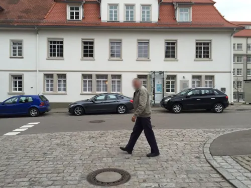
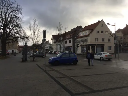
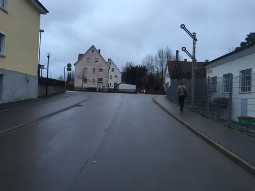



Oleander-Brunnen
Monument and historic site · 0.9 km
Erbaut 1963 im Auftrag von Fritz Kiehn mit Bronzeplastik des Rennpferdes Oleander von Fritz Behn.
Spatenbaum
Monument and historic site · 2.8 km
Durch eine Spaten wurde eine Tanne geteilt. Hier wächst nun eine Zwillingstanne. Der Spaten steckt jedoch noch immer drin, auch wenn...

16 more on the map.
Parks, trails and playgrounds9



Restaurants and cafes48

Krokodil Brauhaus & Schnellimbiss
Restaurant · Currywurst, Fries · 1.3 km
15 In Grubäcker, Trossingen
Mo 10:00-23:30; Tu 10:00-18:00; We-Th 10:00-00:00; Fr-Sa...
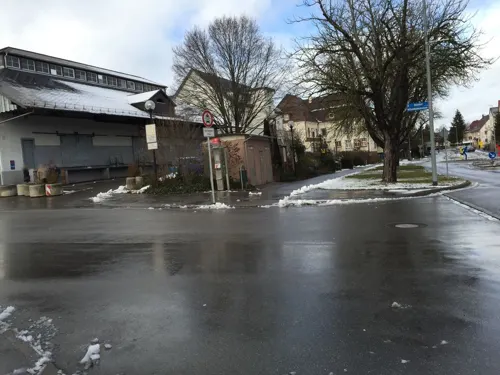
R&D Steakhouse "zum Alten Krug"
Restaurant · German, Steak House · 0.9 km
7 Bahnhofstraße, Trossingen
Mo 17:00-22:30,We-Th 17:00-22:00,Fr-Sa 17:00-23:00,Su...

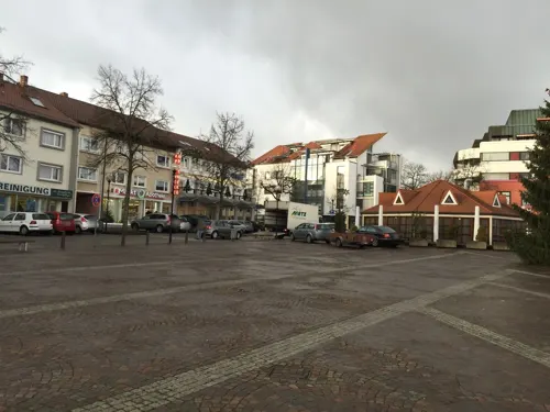
1976 Asia & Sushi
Restaurant · Asian, Sushi
8 Rudolf-Maschke-Platz, Trossingen
Tu-Su 11:30-14:30,16:45-21:30
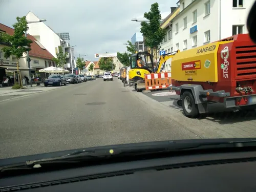
Dionysos
Restaurant · Greek · 0.7 km
20 Hauptstraße, Trossingen
Tu-Fr,Su 11:30-14:00,17:30-22:00; Sa 17:30-22:00; Mo off
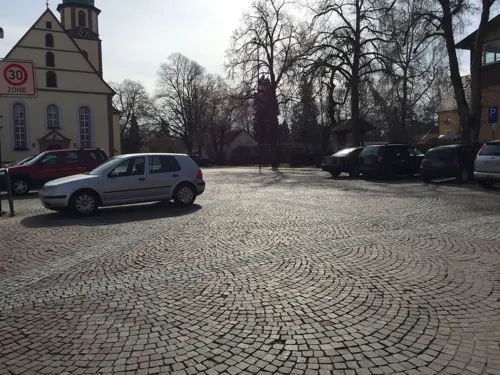
Germania
Restaurant · German
9 Löhrstraße, Trossingen
Mo,Fr,Sa 17:00-20:00+; Su 10:00-14:00+

Atelier Café
Cafe · 0.7 km
Kaffee&Kunst
22 Hohnerstraße
Mo-Th 08:30-19:00; Fr 08:30-14:00, 17:00-22:00; Sa 08:30-14:00
Café Pfarrgärtle
Cafe · 3.5 km
15 Mühlhauser Straße, Villingen-Schwenningen
We-Th 14:00-19:00
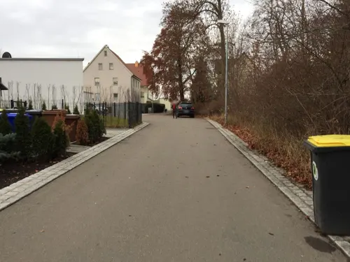
Hohner-Villa
Cafe · Coffee Shop · 0.7 km
11 Hohnerstraße, Trossingen
Mo,Tu,Th 17:30-21:00+; Su 14:00-17:30



Lotus
Restaurant · Asian
1 Wernerstraße, Trossingen
Tu-Sa 11:00-14:30,17:00-21:30; Su,PH 11:30-14:30,17:00-21:00; Mo off
Rose
Restaurant · Greek · 1.0 km
Tu-Su,PH 11:00-14:30,17:00-23:00+; Mo off
36 more on the map.
Where to stay6
Naturfreundehaus Steppachhalde
Motel and hotel · 2.3 km
55 Steppachhalde, Trossingen
Churches and places of worship17
St. Otmar
Church · Roman Catholic · 3.4 km
9 Mühlhauser Straße, Villingen-Schwenningen
Shopping15
Gas and EV charging7
Schools, colleges and libraries10
Grundschule Schura / Kellenbachschule
School · 2.1 km
3 Kellenbachstraße, Trossingen
Healthcare4
Map of Trossingen
150 places. The map loads OpenStreetMap tiles when you open it.
Getting there and nearby towns
Lahr Airport (LHA) is the nearest airport with scheduled flights listed in OpenStreetMap, 69 km away.
- Villingen-Schwenningen 11 km west, about 11 min by car
- Tuttlingen 16 km southeast, about 16 min by car
- Waldkirch 51 km west, about 51 min by car
- Überlingen 52 km southeast, about 52 min by car
- Waldshut-Tiengen 60 km southwest, about 1 h by car
- Wildberg 61 km north, about 1 h by car
- Reutlingen 62 km northeast, about 1 h by car
- Weil im Schönbuch 68 km northeast, about 1 h 15 min by car
- Bad Urach 72 km northeast, about 1 h 15 min by car
- Stuttgart 88 km northeast, about 1 h 30 min by car
Drive times are estimates from straight-line distance, not routes.
Local news
Headlines from INDB.
Reviews, tips and questions
Loading what members have shared...
Sources and licences
- GeoNames (CC BY 4.0): population, coordinates, regions and time zone
- Mapillary (see each image): photos
- OpenStreetMap contributors (ODbL 1.0): places, airports, map data
- Wikidata (CC0 1.0): elevation, founding date, time zone, website
- Wikimedia Commons (see each image): photos
- Wikipedia (CC BY-SA 4.0): overview and history text
Photo credits
- Rathaus Trossingen weit, Gabriel Rinaldi, CC BY-SA 3.0
- Trossingen-5463 1, DKrieger, CC BY-SA 4.0
- Koch-Villa Trossingen 2018, Plateosaurus engelhardti, CC BY-SA 4.0
- Trossingen-5495, DKrieger, CC BY-SA 4.0
- Trossingen-5457, DKrieger, CC BY-SA 4.0
- Trossingen-5422, DKrieger, CC BY-SA 4.0
- Rathaus Trossingen 2025, Zollernalb, CC0
- Rathaus Trossingen-5531, DKrieger, CC BY-SA 4.0
- Trossingen-5425, DKrieger, CC BY-SA 4.0
- Trossingen-5437, DKrieger, CC BY-SA 4.0
- Trossingen-5431, DKrieger, CC BY-SA 4.0
- Trossingen-5444, DKrieger, CC BY-SA 4.0
- Trossingen-5546, DKrieger, CC BY-SA 4.0
- Kirche St. Theresia, Trossingen-2863, Dietrich Krieger, CC BY-SA 4.0
- 2026-05-17 Bundesakademie Trossingen 962 1, DKrieger, CC BY-SA 4.0
- Aldingen-6511, DKrieger, CC BY-SA 4.0
- St. Theresia (Trossingen) - Außenansicht, Schedukiam, CC BY-SA 4.0
- Schura-6502, DKrieger, CC BY-SA 4.0
- Landappbw 947989 1820 St Otmar Weigheim, Dietrich Krieger, CC0
- Weigheim (VS)-0074, DKrieger, CC BY-SA 4.0
- Landappbw 313360 1820 Kirche Trossingen, Harry Schneckenburger, CC0
- Landappbw 883649 1820 Pfarrkirche St. Georg Aldingen-Aixheim, Dietrich Krieger, CC0
- Weigheim-5046, DKrieger, CC BY-SA 4.0
- Weigheim (VS)-0144, DKrieger, CC BY-SA 4.0
- MLK Trossingen von W - 2025-11-14 - 475d, Martinus KE, CC BY-SA 4.0
- Plateosaurus, Museum Auberlehaus, CC BY-SA 3.0
- Street-level photo, jokie, CC BY-SA 4.0
- Street-level photo, jokie, CC BY-SA 4.0
- Street-level photo, jokie, CC BY-SA 4.0
- Street-level photo, tobim91, CC BY-SA 4.0
- Street-level photo, tobim91, CC BY-SA 4.0
- Street-level photo, jokie, CC BY-SA 4.0
- Street-level photo, jokie, CC BY-SA 4.0
- Street-level photo, tobim91, CC BY-SA 4.0
- Street-level photo, jokie, CC BY-SA 4.0
- Street-level photo, jokie, CC BY-SA 4.0
- Street-level photo, tobim91, CC BY-SA 4.0
- Street-level photo, jokie, CC BY-SA 4.0
- Street-level photo, tobim91, CC BY-SA 4.0
- Street-level photo, jokie, CC BY-SA 4.0
- Street-level photo, tobim91, CC BY-SA 4.0
- Street-level photo, autobahn42, CC BY-SA 4.0
- Street-level photo, jokie, CC BY-SA 4.0
- Street-level photo, jokie, CC BY-SA 4.0
- Street-level photo, jokie, CC BY-SA 4.0
- Street-level photo, jokie, CC BY-SA 4.0
- Street-level photo, jokie, CC BY-SA 4.0
- Street-level photo, tobim91, CC BY-SA 4.0


Page built November 8, 2026. Spotted a mistake? Tell us or suggest a place.