


Why visit Söhlde
Townapedia lists 22 museums and landmarks, 40 parks and trails, 42 places to eat, 2 places to stay and 4 attractions in and around town.
Highlights include Hof im Greth, Bio-Hof im Greth, Burg Steinbrück and Salder House.
Weather in Söhlde
Forecast from MET Norway (CC BY 4.0). Full forecast
About Söhlde
Söhlde is a village and a municipality in the district of Hildesheim, in Lower Saxony, Germany. It is situated approximately 20 km east of Hildesheim, and 10 km northwest of Salzgitter.
From the Wikipedia article Söhlde (this version), under CC BY-SA 4.0.
Things to do4

Museums and landmarks22





10 more on the map.
Parks, trails and playgrounds40



Sauna & Hallenbad
Sports field and stadium
Tu-Fr 15:00-19:00; Sa 14:00-19:00; Su 08:00-13:00

28 more on the map.
Restaurants and cafes42

Beast Pizza Lengede
Restaurant · Italian · 5.8 km
20 Gärtlingsweg, Lengede
Mo-Fr 11:00-22:00; Sa,Su 11:30-22:00
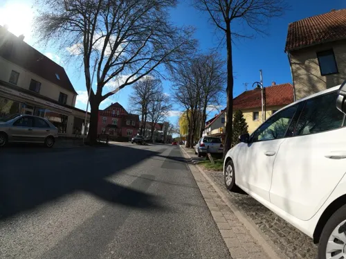

Bistro-Restaurant Weiße Taube
Restaurant · 3.7 km
3 Marktstraße, Söhlde
Tu-Th 11:30-22:00; Fr,Sa 11:30-22:30; Su 12:00-21:30
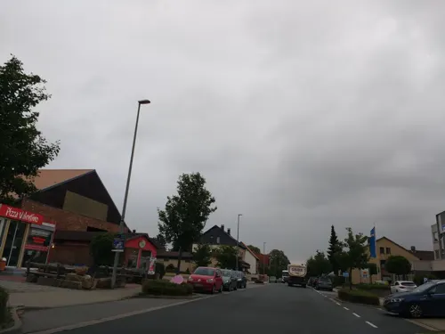
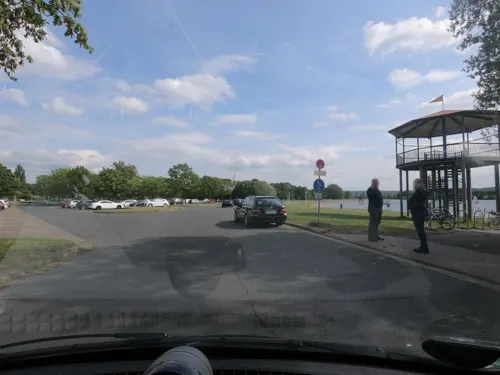

Peerd Hus, Hofcafé Lesse
Cafe · 3.3 km
Öffnungszeiten nur Fr-So + Feitertag: April - Sept. 09:00 -19:00 Okt. - März 09:00 -18:00
18 Bereler Straße, Salzgitter
Picco Bello
Restaurant · Italian · 6.5 km
5 Ostenstraße, Lengede
Fr-We 17:00-22:00


Vereinsheim Bettrum
Restaurant · Regional, German · 4.6 km
9 Am Mühlenberg, Söhlde
Fr-Su 17:00-23:00
30 more on the map.
Where to stay2
Churches and places of worship29
Shopping14
Gas and EV charging3
Schools, colleges and libraries15
Healthcare6
Map of Söhlde
177 places. The map loads OpenStreetMap tiles when you open it.
Getting there and nearby towns
Forschungsflughafen Braunschweig-Wolfsburg (BWE) is the nearest airport with scheduled flights listed in OpenStreetMap, 27 km away.
- Lengede 5 km east, about 5 min by car
- Ilsede 9 km north, about 9 min by car
- Vechelde 12 km northeast, about 12 min by car
- Salzgitter 13 km east, about 13 min by car
- Peine 14 km north, about 14 min by car
- Harsum 18 km west, about 18 min by car
- Hildesheim 20 km west, about 20 min by car
- Wendeburg 19 km northeast, about 19 min by car
- Wolfenbüttel 21 km east, about 21 min by car
- Braunschweig 22 km northeast, about 22 min by car
Drive times are estimates from straight-line distance, not routes.
Local news
Headlines from INDB.
Reviews, tips and questions
Loading what members have shared...
Sources and licences
- GeoNames (CC BY 4.0): population, coordinates, regions and time zone
- Mapillary (see each image): photos
- OpenStreetMap contributors (ODbL 1.0): places, airports, map data
- Wikidata (CC0 1.0): elevation, founding date, time zone, website, landmarks and historic places
- Wikimedia Commons (see each image): photos
- Wikipedia (CC BY-SA 4.0): overview and history text
Photo credits
- Soehlde Windmuehle, Clemensfranz, CC BY-SA 3.0
- Schloss Salder, Axel Hindemith, Public domain
- Naturschutzgebiet Lengeder Teiche Niedersachsen 11, Pobby81, CC BY-SA 4.0
- Gross Lafferde Wasserturm, Clemensfranz, CC BY-SA 3.0
- Burg Steinbrück Kehrwiederkirche Frühjahr, Clemensfranz, CC BY-SA 4.0
- Nettlingen Kirche kath, Kirchenfan, CC0
- Schloss Nettlingen Seite, Axel Hindemith, CC BY 3.0
- Kirche Groß Himstedt, Thomas Binder, CC BY-SA 4.0
- Kapelle Hohenassel, Thomas Binder, CC BY-SA 4.0
- Kirche Berel, Thomas Binder, CC BY-SA 4.0
- Kirche Nordassel, Thomas Binder, CC BY-SA 4.0
- Barbecke Kirche, Markscheider, CC BY-SA 4.0
- Kirche Bettrum, Thomas Binder, CC BY-SA 4.0
- StMartin Hoheneggelsen 02, Dehio, CC BY-SA 4.0
- Lengede Marien 2, Kirchenfan, CC0
- Burg Steinbrück Seitenansicht, Axel Hindemith, CC BY-SA 3.0
- Soehlde Martin-Luther-Kirche, TeWeBs, CC BY-SA 4.0
- Soehlde Patentmuehle, TeWeBs, CC BY-SA 4.0
- Street-level photo, Langfahrer, CC BY-SA 4.0
- Street-level photo, thetornado76, CC BY-SA 4.0
- Street-level photo, thetornado76, CC BY-SA 4.0
- Street-level photo, Langfahrer, CC BY-SA 4.0
- Street-level photo, TechniPorter, CC BY-SA 4.0
- Street-level photo, u14183, CC BY-SA 4.0
- Street-level photo, thetornado76, CC BY-SA 4.0
- Street-level photo, thetornado76, CC BY-SA 4.0
- Street-level photo, thetornado76, CC BY-SA 4.0
- Street-level photo, TechniPorter, CC BY-SA 4.0
- Street-level photo, Langfahrer, CC BY-SA 4.0
- Street-level photo, skjall, CC BY-SA 4.0
- Street-level photo, Langfahrer, CC BY-SA 4.0
- Street-level photo, thetornado76, CC BY-SA 4.0
- Street-level photo, TechniPorter, CC BY-SA 4.0
- Street-level photo, Langfahrer, CC BY-SA 4.0
- Street-level photo, thetornado76, CC BY-SA 4.0
- Street-level photo, thetornado76, CC BY-SA 4.0
- Street-level photo, peewee32, CC BY-SA 4.0
- Street-level photo, Langfahrer, CC BY-SA 4.0
- Street-level photo, Langfahrer, CC BY-SA 4.0
- Street-level photo, thetornado76, CC BY-SA 4.0
- Street-level photo, Langfahrer, CC BY-SA 4.0
- Street-level photo, Langfahrer, CC BY-SA 4.0
- Street-level photo, peewee32, CC BY-SA 4.0


Page built November 9, 2026. Spotted a mistake? Tell us or suggest a place.