


Why visit Steyerberg
Townapedia lists 29 museums and landmarks, 24 parks and trails, 48 places to eat, 16 places to stay and 12 attractions in and around town.
Highlights include Auehof Reese Hofladen, Hof Backhaus, Kloster Schinna and Heimatmuseum.
Weather in Steyerberg
Forecast from MET Norway (CC BY 4.0). Full forecast
About Steyerberg
Steyerberg is a municipality in the district of Nienburg, in Lower Saxony, Germany. It is situated approximately 15 km southwest of Nienburg, and 30 km north of Minden.
From the Wikipedia article Steyerberg (this version), under CC BY-SA 4.0.
Things to do12

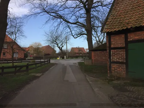
Spargelhof Meyer
Farm and orchard · 5.8 km
46 Dorfstraße, Stolzenau
Mo-Fr 09:00-13:00,14:00-18:00, We 09:00-13:00, Sa 09:00-13:00
Holthus Hofladen
Farm and orchard · 8.0 km
Obst und Gemüse aus eigenem Anbau
1 Brachfeld, Estorf


Museums and landmarks29





Gedenk- und Bildungsstätte Pulverfabrik Liebenau 1939-1945
Monument and historic site · 5.8 km

17 more on the map.
Parks, trails and playgrounds24



Naturbad Pennigsehl
Sports field and stadium · 7.8 km
22 Übern Braken, Pennigsehl
May-Sep 14:00-19:00, SH 10:00-19:00




12 more on the map.
Restaurants and cafes48
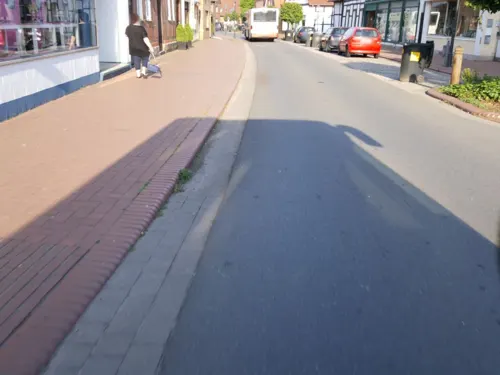
Bertermann
Bakery · 7.3 km
16 Lange Straße, Stolzenau
Mo-Fr 06:00-18:00; Sa 06:00-13:00; Su 06:00-17:00

Bierstube Stolzenau
Restaurant · Regional · 7.3 km
10 Lange Straße, Stolzenau
Tu-Th 14:30-22:00; Fr-Su 12:00-22:00
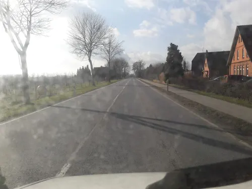
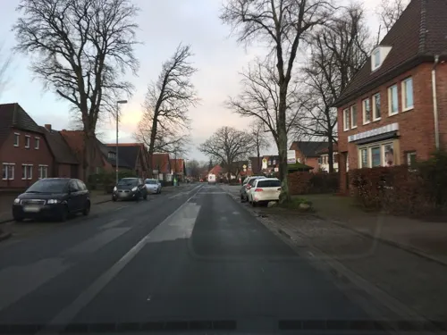
Landbäckerei Niemeyer
Bakery
34 Kirchstraße, Steyerberg
Mo-Fr 06:00-12:30; Sa 06:00-12:00; Su 07:30-11:00
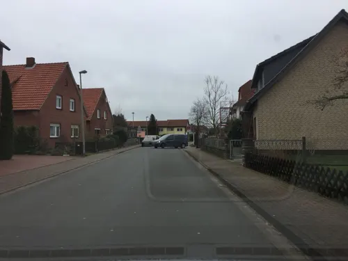
Mykonos
Restaurant · Greek · 6.5 km
34 Kleine Geest, Stolzenau
Tu-Su 17:00-23:30; PH 12:00-14:00,17:00-23:00
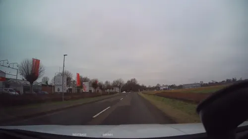
Restaurant Pottkieker
Restaurant · Regional · 7.9 km
8 - 12 Brokeloher Straße, Landesbergen
Mo-Su 09:00-22:00

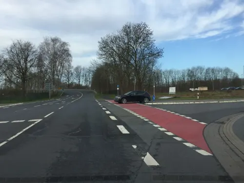
Bambus Garten
Restaurant · Chinese, Asian · 6.9 km
2 Am Sudfelde, Stolzenau
Tu-Su 11:30-15:00; 17:30-22:00
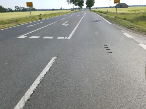
Bäckerei Deicke
Bakery · 7.1 km
92 Lange Straße, Landesbergen
Mo-Fr 07:00-18:30; Sa 07:00-18:00; Su 07:30-10:30


Landbäckerei Niemeyer
Bakery · 7.4 km
2 Am Markt, Stolzenau
Mo-Fr 06:30-17:00; Sa 06:30-13:00; Su 08:00-11:00,14:00-17:00
36 more on the map.
Where to stay16
Churches and places of worship15
Sankt Katharinenkirche
Church · Protestant · 0.9 km
3 Rießen, Steyerberg
Shopping19
Gas and EV charging9
Schools, colleges and libraries9
Healthcare7
Map of Steyerberg
188 places. The map loads OpenStreetMap tiles when you open it.
Getting there and nearby towns
Hannover Airport (HAJ) is the nearest airport with scheduled flights listed in OpenStreetMap, 46 km away.
- Stolzenau 6 km southeast, about 6 min by car
- Nienburg 16 km northeast, about 16 min by car
- Rehburg-Loccum 16 km southeast, about 16 min by car
- Sulingen 19 km northwest, about 19 min by car
- Petershagen 22 km south, about 22 min by car
- Wagenfeld 29 km west, about 29 min by car
- Neustadt am Rübenberge 30 km east, about 30 min by car
- Stadthagen 30 km southeast, about 30 min by car
- Minden 32 km south, about 32 min by car
- Wunstorf 32 km southeast, about 32 min by car
Drive times are estimates from straight-line distance, not routes.
Local news
Headlines from INDB.
Reviews, tips and questions
Loading what members have shared...
Sources and licences
- GeoNames (CC BY 4.0): population, coordinates, regions and time zone
- Mapillary (see each image): photos
- OpenStreetMap contributors (ODbL 1.0): places, airports, map data
- Wikidata (CC0 1.0): elevation, founding date, time zone, website
- Wikimedia Commons (see each image): photos
- Wikipedia (CC BY-SA 4.0): overview and history text
Photo credits
- Flug -Nordholz-Hammelburg 2015 by-RaBoe 0359 - Steyerberg, © Ra Boe / Wikipedia, CC BY-SA 3.0 de
- Wehr der Wassermühle Meyersiek in Steyerberg IMG 0128, Losch, CC BY-SA 3.0
- Wehr der Wassermühle Meyersiek in Steyerberg IMG 0129, Losch, CC BY-SA 3.0
- Ortsblick Lange Straße iin Steyerberg IMG 0131, Losch, CC BY-SA 3.0
- De ole Melkbank vor Wassermühle Meyersiek in Steyerberg IMG 0137, Losch, CC BY-SA 3.0
- Wassermühle Meyersiek in Steyerberg IMG 0142, Losch, CC BY-SA 3.0
- Blick auf Historische Brücke vor der Wassermühle Meyersiek in Steyerberg IMG 0136, Losch, CC BY-SA 3.0
- Historische Brücke vor der Wassermühle Meyersiek in Steyerberg IMG 0118, Losch, CC BY-SA 4.0
- Wassermühle Meyersiek in Steyerberg IMG 0115, Losch, CC BY-SA 3.0
- Sägewerk bei der Wassermühle Meyersiek in Steyerberg IMG 0113, Losch, CC BY-SA 3.0
- Sägewerk bei der Wassermühle Meyersiek in Steyerberg IMG 0111, Losch, CC BY-SA 3.0
- Sägewerk bei der Wassermühle Meyersiek in Steyerberg IMG 0112, Losch, CC BY-SA 3.0
- Historische Brücke vor der Wassermühle Meyersiek in Steyerberg IMG 0117, Losch, CC BY-SA 3.0
- Historische Brücke vor der Wassermühle Meyersiek in Steyerberg IMG 0119, Losch, CC BY-SA 3.0
- Wassermühle Meyersiek in Steyerberg IMG 0116, Losch, CC BY-SA 3.0
- Sägewerk bei der Wassermühle Meyersiek in Steyerberg IMG 0114, Losch, CC BY-SA 3.0
- Historische Brücke vor der Wassermühle Meyersiek in Steyerberg IMG 0121, Losch, CC BY-SA 3.0
- Storch auf Wassermühle Meyersiek in Steyerberg IMG 0133, Losch, CC BY-SA 3.0
- Wassermühle Meyersiek in Steyerberg IMG 0132, Losch, CC BY-SA 3.0
- Auebrücke Steyerberg 2025, Mapiman, CC0
- Blick auf die Große Aue in Steyerberg IMG 0122, Losch, CC BY-SA 3.0
- Blick von der historischen Brücke in Steyerberg IMG 0145, Losch, CC BY-SA 3.0
- Sägewerk von 1865 in Steyerberg IMG 0109, Losch, CC BY-SA 3.0
- Ortsblick Lange Straße in Steyerberg IMG 0107, Losch, CC BY-SA 3.0
- Ortsblick Lange Straße in Steyerberg IMG 0108, Losch, CC BY-SA 3.0
- Bahnhof Steyerberg, Uoeneca, CC BY-SA 3.0
- Gemeindezentrum in Steyerberg IMG 0106, Losch, CC BY-SA 3.0
- Kirche Steyerberg 05, ClausNe, CC BY-SA 4.0
- Kirche Steyerberg 04, ClausNe, CC BY-SA 4.0
- Kirche Steyerberg 03, ClausNe, CC BY-SA 4.0
- Kirche Steyerberg 02, ClausNe, CC BY-SA 4.0
- Kirche Steyerberg 01, ClausNe, CC BY-SA 4.0
- Kirche Steyerberg 06, ClausNe, CC BY-SA 4.0
- Kirche Steyerberg 07, ClausNe, CC BY-SA 4.0
- St. Katharina-Kirche in Steyerberg IMG 0105, Losch, CC BY-SA 3.0
- St. Katharina-Kirche in Steyerberg IMG 0098, Losch, CC BY-SA 3.0
- St. Katharina-Kirche in Steyerberg IMG 0101, Losch, CC BY-SA 3.0
- St. Katharina-Kirche in Steyerberg IMG 0103, Losch, CC BY-SA 3.0
- St. Katharina-Kirche in Steyerberg IMG 0102, Losch, CC BY-SA 3.0
- St. Katharina-Kirche in Steyerberg IMG 0104, Losch, CC BY-SA 3.0
- Domäne Stolzenau, Leese, Kiwi05, CC BY-SA 4.0
- Eichen-Hülsenwälder, Kiwi05, CC BY-SA 4.0
- Eichenkratt, Kiwi05, CC BY-SA 4.0
- Wellier Schleife, Kiwi05, CC BY-SA 4.0
- Kloster Schinna Panorama, Axel Hindemith, CC0
- Barockkirche in Estorf IMG 8818, Losch, CC BY-SA 4.0
- Kirche Nendorf, Kiwi05, CC BY-SA 4.0
- St. Katharina-Kirche in Steyerberg IMG 0099, Losch, CC BY-SA 4.0
- Kirche Schinna 3, ClausNe, CC BY-SA 4.0
- St. Laurentiuskirche Liebenau IMG 0085, Losch, CC BY-SA 3.0
- Stolperstein Stolzenau Weserstraße 4 Anni Goldschmidt, Gmbo 2013, CC0
- Stolperstein Stolzenau Lange Straße 10 Emilie Blumenfeld, Gmbo 2013, CC0
- Stolperstein Stolzenau Bahnhofstraße 13 Hans Martin Litmann, Gmbo 2013, CC0
- Stolpersteinlage Stolzenau Lange Straße 10, Gmbo 2013, CC0
- Tipidorf Kuckunniwi, Elgaard, CC BY-SA 4.0
- Stolzenau Sankt Jacobi, Gmbo 2013, CC0
- Street-level photo, xanu, CC BY-SA 4.0
- Street-level photo, Langfahrer, CC BY-SA 4.0
- Street-level photo, Schmarvis, CC BY-SA 4.0
- Street-level photo, xanu, CC BY-SA 4.0
- Street-level photo, berndgehle1, CC BY-SA 4.0
- Street-level photo, berndgehle1, CC BY-SA 4.0
- Street-level photo, mapiman, CC BY-SA 4.0
- Street-level photo, xanu, CC BY-SA 4.0
- Street-level photo, xanu, CC BY-SA 4.0
- Street-level photo, Langfahrer, CC BY-SA 4.0
- Street-level photo, berndgehle1, CC BY-SA 4.0
- Street-level photo, xanu, CC BY-SA 4.0
- Street-level photo, berndgehle1, CC BY-SA 4.0
- Street-level photo, berndgehle1, CC BY-SA 4.0
- Street-level photo, changchun1, CC BY-SA 4.0
- Street-level photo, changchun1, CC BY-SA 4.0
- Street-level photo, changchun1, CC BY-SA 4.0
- Street-level photo, Schmarvis, CC BY-SA 4.0
- Street-level photo, marczoutendijk, CC BY-SA 4.0
- Street-level photo, mapiman, CC BY-SA 4.0
- Street-level photo, xanu, CC BY-SA 4.0
- Street-level photo, changchun1, CC BY-SA 4.0
- Street-level photo, berndgehle1, CC BY-SA 4.0
- Street-level photo, changchun1, CC BY-SA 4.0
- Street-level photo, berndgehle1, CC BY-SA 4.0
- Street-level photo, xanu, CC BY-SA 4.0
- Street-level photo, Langfahrer, CC BY-SA 4.0
- Street-level photo, xanu, CC BY-SA 4.0
- Street-level photo, xanu, CC BY-SA 4.0


Page built November 9, 2026. Spotted a mistake? Tell us or suggest a place.