


Why visit Sulingen
Townapedia lists 11 museums and landmarks, 11 parks and trails, 41 places to eat, 5 places to stay and 5 attractions in and around town.
Highlights include Filmpalast Sulingen, Hollerbuschhof, Windmühle Labbus and Bertha Jacobsohn.
Weather in Sulingen
Forecast from MET Norway (CC BY 4.0). Full forecast
About Sulingen
Sulingen (German pronunciation: [ˈzuːlɪŋən] ) is a town in the district of Diepholz, Lower Saxony, Germany. It is situated approximatively 30 km east of Diepholz, and 45 km south of Bremen.
From the Wikipedia article Sulingen (this version), under CC BY-SA 4.0.
Things to do5


Hollerbuschhof
Farm and orchard · 2.6 km
8 Stehlen, Sulingen
Mo-Su 07:00-20:00
Freilichtbühne Eschbachtal
Cinema and theater · 5.8 km
36 Fünfhäuser, Mellinghausen

Museums and landmarks11






Parks, trails and playgrounds11

Freizeitbad Sulingen
Sports field and stadium · 0.7 km
4 Promenadenweg, Sulingen
Mo-Fr 06:00-20:00; Sa 07:00-20:00; Su 08:00-20:00



Restaurants and cafes41
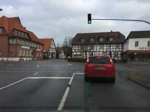
CAPO CACCIA ristorante.bar.
Restaurant · Italian · 0.8 km
62 Lange Straße, Sulingen
Mo-Th 11:30-14:00,17:00-22:30; Fr-Sa 11:30-14:00, 17:00-23:30; Su...
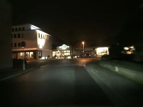

New York Pizza
Restaurant · Pizza, German · 1.3 km
13 Bassumer Straße, Sulingen
Mo-Fr 17:00-21:30; Sa 17:00-21:30; Su 17:00-21:30
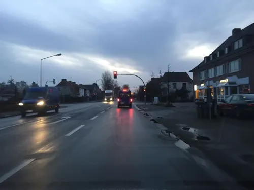
Bäckerei & Konditorei Schumacher Teerling
Bakery
28 Nienburger Straße, Sulingen
Mo-Fr 05:30-18:00; Sa 05:30-13:00; Su 08:00-11:00
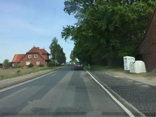
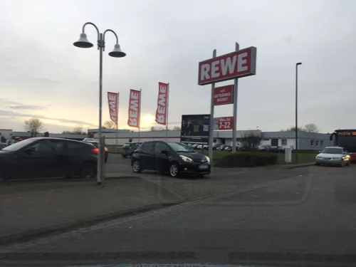
Restaurant Hausgemacht
Restaurant
31 Lange Straße, Sulingen
We,Th 12:00-14:30,17:30-22:30; Fr-Su 12:00-14:30,17:30-23:30
Natur- & Schaubäcker Siedenburg
Bakery · 8.7 km
Mo off; Tu off; We, Th 06:00-14:00; Fr 06:00-18:00; Sa...
Bertermann
Bakery
22 Lange Straße, Sulingen
Mo-Fr 06:30-18:00; Sa 06:30-13:00; Su 08:00-17:00


29 more on the map.
Where to stay5
Churches and places of worship8
Neuapostolische Kirche
Church · New Apostolic · 0.6 km
37 Schwafördener Weg, Sulingen
Shopping14
Gas and EV charging9
Schools, colleges and libraries12
Healthcare4
Map of Sulingen
120 places. The map loads OpenStreetMap tiles when you open it.
Getting there and nearby towns
Bremen Airport (BRE) is the nearest airport with scheduled flights listed in OpenStreetMap, 40 km away.
- Twistringen 18 km northwest, about 18 min by car
- Syke 26 km north, about 26 min by car
- Vechta 36 km west, about 36 min by car
- Wildeshausen 35 km northwest, about 35 min by car
- Rehburg-Loccum 35 km southeast, about 35 min by car
- Verden 39 km northeast, about 39 min by car
- Bremen 44 km north, about 44 min by car
- Kirchlinteln 45 km northeast, about 45 min by car
- Emstek 47 km west, about 47 min by car
- Wunstorf 51 km southeast, about 51 min by car
Drive times are estimates from straight-line distance, not routes.
Local news
Headlines from INDB.
Reviews, tips and questions
Loading what members have shared...
Sources and licences
- GeoNames (CC BY 4.0): population, coordinates, regions and time zone
- Mapillary (see each image): photos
- OpenStreetMap contributors (ODbL 1.0): places, airports, map data
- Wikidata (CC0 1.0): elevation, founding date, time zone, website
- Wikimedia Commons (see each image): photos
- Wikipedia (CC BY-SA 4.0): overview and history text
Photo credits
- Stolperstein Sulingen Lange Straße 52 Bertha Jacobson, Gmbo 2013, CC0
- Stolperstein Sulingen Lange Straße 44 Eva Bloch, Gmbo 2013, CC0
- Stolperstein Sulingen Lange Straße 44 Iwan Bloch, Gmbo 2013, CC0
- Stolperstein Sulingen Lange Straße 52 Minna Jacobson, Gmbo 2013, CC0
- Stolperstein Sulingen Hohe Straße 23 Samuel Kahn, Gmbo 2013, CC0
- Stolperstein Sulingen Lange Straße 44 Toni Bloch, Gmbo 2013, CC0
- Sulingen, Ranck, Gerd Fahrenhorst, CC BY 4.0
- Schachtdeckel Stadt Sulingen, Abubiju, CC0
- Froschbrunnen (Sulingen) 0182, Gerd Fahrenhorst, CC BY 4.0
- Froschbrunnen (Sulingen) 0183, Gerd Fahrenhorst, CC BY 4.0
- Froschbrunnen (Sulingen) 0184, Gerd Fahrenhorst, CC BY 4.0
- Froschbrunnen (Sulingen) 0185, Gerd Fahrenhorst, CC BY 4.0
- ZOB Sulingen 0206, Gerd Fahrenhorst, CC BY 4.0
- Millstone (Sulingen) 0179, Gerd Fahrenhorst, CC BY 4.0
- Millstone (Sulingen) 0181, Gerd Fahrenhorst, CC BY 4.0
- Millstone (Sulingen) 0180, Gerd Fahrenhorst, CC BY 4.0
- Sparkasse Sulingen 0186, Gerd Fahrenhorst, CC BY 4.0
- Bahnhof Sulingen - hinten Bü Nienburger Str, Geogast, CC BY 3.0
- Sulingen Lange Straße 10 Baudenkmal Wohnhaus, Gmbo 2013, CC0
- Bahnhof Sulingen, Bahnsteig, Geogast, CC BY 3.0
- Bahnhof Sulingen, alter Mittelbahnsteig, Geogast, CC BY 3.0
- 129-30 Sulingen, Benedictus, CC BY-SA 3.0
- Klinik Sulingen 0202, Gerd Fahrenhorst, CC BY 4.0
- Klinik Sulingen 0201, Gerd Fahrenhorst, CC BY 4.0
- Stolpersteinlage Sulingen Lange Straße 44, Gmbo 2013, CC0
- Stolpersteine Sulingen Lange Straße 44, Gmbo 2013, CC0
- Klinik Sulingen 0200, Gerd Fahrenhorst, CC BY 4.0
- Stolpersteinlage Sulingen Hohe Straße 23, Gmbo 2013, CC0
- Stolpersteinlage Sulingen Lange Straße 52, Gmbo 2013, CC0
- Stolpersteine Sulingen Lange Straße 52, Gmbo 2013, CC0
- Sulingen Lange Straße 56 Amtsgericht, Gmbo 2013, CC0
- Sensenschmied (Sulingen) 0188, Gerd Fahrenhorst, CC BY 4.0
- Sensenschmied (Sulingen) 0189, Gerd Fahrenhorst, CC BY 4.0
- Sensenschmied (Sulingen) 0190, Gerd Fahrenhorst, CC BY 4.0
- Sulingen Lange Straße 62 Ratskeller, Gmbo 2013, CC0
- 439sulingen, Varus111, Public domain
- Siedener Moor, Kiwi05, CC BY-SA 4.0
- Dorfkirche in Barenburg (Kirchdorf) IMG 3321, Losch, CC BY-SA 3.0
- Windmühle Labbus, Dezember 2025, Flynnhan, CC BY-SA 4.0
- Sulingen Mahnende Hände 04 1870-1871, Gmbo 2013, CC0
- Street-level photo, xanu, CC BY-SA 4.0
- Street-level photo, xanu, CC BY-SA 4.0
- Street-level photo, xanu, CC BY-SA 4.0
- Street-level photo, xanu, CC BY-SA 4.0
- Street-level photo, xanu, CC BY-SA 4.0
- Street-level photo, xanu, CC BY-SA 4.0
- Street-level photo, xanu, CC BY-SA 4.0
- Street-level photo, nesshof, CC BY-SA 4.0
- Street-level photo, lvl5, CC BY-SA 4.0
- Street-level photo, lvl5, CC BY-SA 4.0
- Street-level photo, thetornado76, CC BY-SA 4.0
- Street-level photo, Langfahrer, CC BY-SA 4.0
- Street-level photo, Langfahrer, CC BY-SA 4.0
- Street-level photo, xanu, CC BY-SA 4.0
- Street-level photo, xanu, CC BY-SA 4.0
- Street-level photo, xanu, CC BY-SA 4.0
- Street-level photo, xanu, CC BY-SA 4.0
- Street-level photo, lvl5, CC BY-SA 4.0
- Street-level photo, xanu, CC BY-SA 4.0
- Street-level photo, Schnakel76, CC BY-SA 4.0


Page built November 8, 2026. Spotted a mistake? Tell us or suggest a place.