


Why visit Wagenfeld
Townapedia lists 37 museums and landmarks, 10 parks and trails, 34 places to eat, 8 places to stay and 3 attractions in and around town.
Highlights include Tierpark Ströhen, Freilichtbühne Wagenfeld, MOORWELTEN and NRW-Nordpunkt.
Weather in Wagenfeld
Forecast from MET Norway (CC BY 4.0). Full forecast
About Wagenfeld
Wagenfeld (German pronunciation: [ˈvaːɡn̩ˌfɛlt]) is a municipality in the district of Diepholz, Lower Saxony, Germany. It is situated approximately 15 km east of Diepholz, and 40 km northwest of Minden.
From the Wikipedia article Wagenfeld (this version), under CC BY-SA 4.0.
Things to do3



Museums and landmarks37


Auburg
Monument and historic site · 1.3 km
8 An der Auburg, Wagenfeld
25 more on the map.
Parks, trails and playgrounds10







Restaurants and cafes34
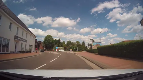
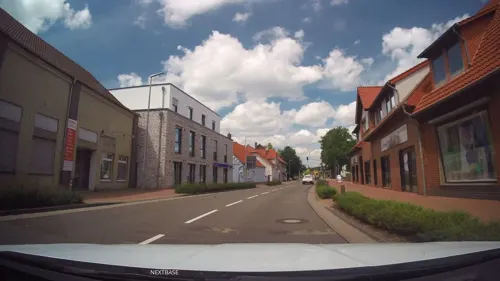

Falldorf's Pannenkoeken Gasthaus
Restaurant · 3.1 km
55 Rahdener Straße, Wagenfeld
Fr 17:00-22:00; Sa,Su 11:30-22:00

Landbäckerei Niemeyer
Bakery
41 Hauptstraße, Wagenfeld
Mo-Fr 06:00-17:00; Sa 06:00-12:00; Su 07:00-11:00
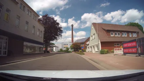
Aichan's Taverne
Restaurant · Greek · 5.1 km
36 Wagenfelder Straße, Hemsloh
Tu-Fr 17:30-23:00; Sa 17:30-24:00; Su 12:00-14:00,17:30-23:00
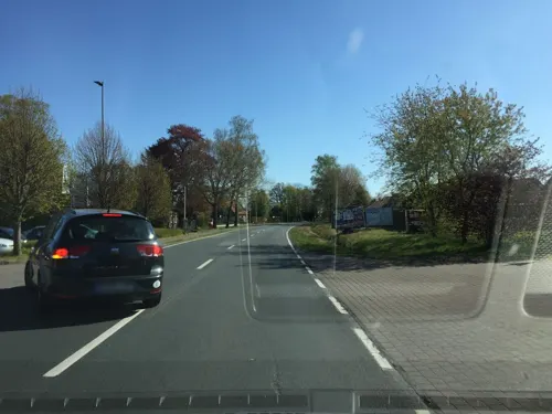


Schusterkrug
Restaurant · 3.2 km
101 Oppenweher Straße, Wagenfeld
Th-Mo 07:00-17:30; Sa 08:00-12:00; Tu,We off
22 more on the map.
Where to stay8
Churches and places of worship5
Shopping10
Gas and EV charging7
Schools, colleges and libraries5
Healthcare2
Map of Wagenfeld
121 places. The map loads OpenStreetMap tiles when you open it.
Getting there and nearby towns
Flugplatz Varrelbusch (VAC) is the nearest airport with scheduled flights listed in OpenStreetMap, 54 km away.
- Rahden 13 km south, about 13 min by car
- Diepholz 16 km northwest, about 16 min by car
- Espelkamp 19 km south, about 19 min by car
- Sulingen 21 km northeast, about 21 min by car
- Hille 26 km southeast, about 26 min by car
- Lübbecke 27 km south, about 27 min by car
- Lohne 27 km northwest, about 27 min by car
- Damme 27 km west, about 27 min by car
- Bohmte 27 km southwest, about 27 min by car
- Vechta 29 km northwest, about 29 min by car
Drive times are estimates from straight-line distance, not routes.
Local news
Headlines from INDB.
Reviews, tips and questions
Loading what members have shared...
Sources and licences
- GeoNames (CC BY 4.0): population, coordinates, regions and time zone
- Mapillary (see each image): photos
- OpenStreetMap contributors (ODbL 1.0): places, airports, map data
- Wikidata (CC0 1.0): elevation, founding date, time zone, website
- Wikimedia Commons (see each image): photos
- Wikipedia (CC BY-SA 4.0): overview and history text
Photo credits
- Wagenfeld neues Rathaus, Gemeinde Wagenfeld, CC BY-SA 3.0 de
- Wagenfelder Aue Blick Nord, Scolium, Public domain
- Wagenfelder Aue Blick Sued, Scolium, Public domain
- Naturschutzgebiet Rehdener Geestmoor IMG 3296, Losch, CC BY-SA 3.0
- Neustädter Moor 3, Corradox, CC BY-SA 3.0
- Oppenwehe1, Ingo2802, CC BY-SA 3.0
- Kirche Ströhen, Kiwi05, CC BY-SA 4.0
- RahdenPr.Stroehen1, Ingo2802 00:17, 16. Apr. 2008 (CEST), CC BY-SA 3.0
- Blühendes Wollgras 3, TineWelli, CC BY-SA 4.0
- Kellenberg, C.Bekiaridis, CC BY-SA 4.0
- Ströhen Tierpark Araber, Corradox, CC BY-SA 3.0
- Aburg1, Scolium, Public domain
- Aburg3, Scolium, Public domain
- Aburg4, Scolium, Public domain
- Aburg7, Scolium, Public domain
- Aburg8, Scolium, Public domain
- Aburg2, Scolium, Public domain
- Aburg6, Scolium, Public domain
- Aburg9, Scolium, Public domain
- Aburg5, Scolium, Public domain
- Street-level photo, Schmarvis, CC BY-SA 4.0
- Street-level photo, Schmarvis, CC BY-SA 4.0
- Street-level photo, Schmarvis, CC BY-SA 4.0
- Street-level photo, xanu, CC BY-SA 4.0
- Street-level photo, Schmarvis, CC BY-SA 4.0
- Street-level photo, Schmarvis, CC BY-SA 4.0
- Street-level photo, Schmarvis, CC BY-SA 4.0
- Street-level photo, lvl5, CC BY-SA 4.0
- Street-level photo, xanu, CC BY-SA 4.0
- Street-level photo, xanu, CC BY-SA 4.0
- Street-level photo, Schmarvis, CC BY-SA 4.0
- Street-level photo, Schmarvis, CC BY-SA 4.0
- Street-level photo, xanu, CC BY-SA 4.0


Page built November 9, 2026. Spotted a mistake? Tell us or suggest a place.