


Why visit Voerde
Townapedia lists 91 museums and landmarks, 40 parks and trails, 172 places to eat, 7 places to stay and 16 attractions in and around town.
Highlights include Hof Vahnenbruck, Tinthof, Haus Voerde and Haus Schwarzenstein.
Weather in Voerde
Forecast from MET Norway (CC BY 4.0). Full forecast
About Voerde
Voerde (German: ˈføːɐ̯də, romanized: -, lit. 'De-Voerde.ogg') is a town in the district of Wesel, in North Rhine-Westphalia, Germany. It is situated on the right bank of the Rhine, approximately 10 kilometres (6.2 mi) south-east of Wesel, and 20 km north of Duisburg.
From the Wikipedia article Voerde (this version), under CC BY-SA 4.0.
Photos of Voerde


Things to do16
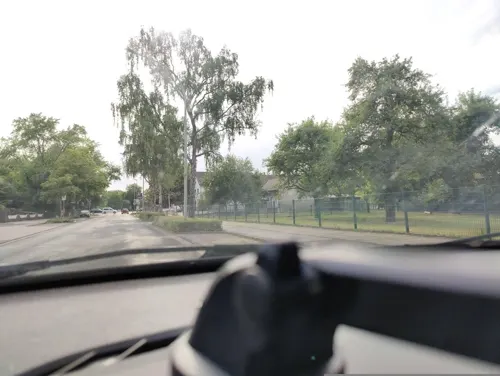
Hof Vahnenbruck
Farm and orchard · 5.2 km
Eier, Erdbeeren, Frischmilch, Gänse, Honig, Kartoffeln, Maronen, Milch, Milchprodukte, Obst, Spargel, Walnüsse
54 Konrad-Adenauer-Straße, Dinslaken
Tu-We 08:30-12:30,14:00-18:30; Th 08:30-12:30; Fr 08:00-18:30; Sa...
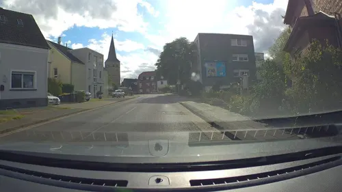
Tinthof
Farm and orchard · 5.2 km
Eigene Käseherstellung, Eier, Hühner und Hähne, hochwertiges Rindfleisch
7 Weseler Straße, Voerde (Niederrhein)
We 17:00-19:00; Sa 09:00-12:00

Burgtheater Dinslaken
Cinema and theater · 5.0 km
Theatre in Dinslaken, North Rhine-Westphalia, Germany

Wesel Railway Bridge
Bridge · 9.1 km
Former railway bridge over the Rhine in Wesel, Germany

Baumeistershof
Farm and orchard · 4.5 km
Sommerblumen, Kürbisse, Heu und Stroh
34 Mehrstraße, Voerde (Niederrhein)
"nach Vereinbarung"
Heesenhof
Farm and orchard · 6.1 km
Rindflleich und ganze Torten
102 Weseler Straße, Hünxe
"vorher anrufen"
Wollverkauf Sprock
Farm and orchard · 1.2 km
Wolle und Lammfleischverkauf
83 Grünstraße, Voerde (Niederrhein)
"nach Vereinbarung"
Hof Fengels
Farm and orchard · 2.5 km
Obst der Saison von unseren Streuobstwiesen, Honig, Eier
245 Frankfurter Straße, Voerde (Niederrhein)
Tu 09:00-13:00; Th 09:00-18:00
Hof Scheperjan
Farm and orchard · 1.0 km
Weißer Spargel und Grünspargel aus eigenem Anbau, Weihnachtsbäume zum Selbstschlagen, Äpfel, Birnen Zwiebeln, Kartoffeln, Eier
130 Rönskenstraße, Voerde (Niederrhein)
Mo,Tu,Th,Fr 08:00-13:00,14:00-18:00; Sa 08:00-14:00; We off
Hofladen Bellingröhr
Farm and orchard · 4.3 km
Obst und Gemüse, frische Eier und Kartoffeln. Saisonal Erdbeeren und Spargel
40 Rotbachstraße, Dinslaken

4 more on the map.
Museums and landmarks91

Haus Voerde
Monument and historic site · 1.1 km
Historisches Wasserschloss mit Gastronomie und Standesamt
65 Allee, Voerde (Niederrhein)

Haus Schwarzenstein
Monument and historic site · 6.4 km
73 Schwarzensteiner Weg, Hünxe




Stadtinformation am Rittertor
Monument and historic site · 5.0 km
1 Ritterstraße, Dinslaken
Mo off; Tu-Fr 10:00-13:00,14:00-17:00; Sa 10:00-13:00; PH off
Johannahaus
Monument and historic site · 5.2 km
34-36 Duisburger Straße, Dinslaken
Judenkarren
Monument and historic site · 4.9 km
Der Judenkarren erinnert an die Schandtat vom 10. November 1938. Eine Horde uniformierter Nationalsozialisten überfiel das jüdische...
79 more on the map.
Parks, trails and playgrounds40


Feuchtwiesen Bucholter Bruch und Nordhang Testerberge
Hiking and trails · 5.4 km

Hasenfeld und Rheinvorland zwischen Eversael und Ossenberg
Hiking and trails · 5.3 km


Rheinvorland zwischen Mehrum und Emmelsum
Hiking and trails · 5.3 km

28 more on the map.
Restaurants and cafes172
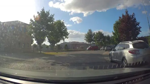
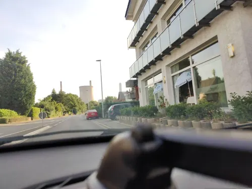
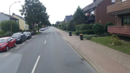
Casa Nostra
Restaurant · Italian · 1.6 km
145a Rahmstraße, Voerde (Niederrhein)
Mo off, Tu-Su 12:00-22:00
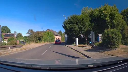
Rheinwacht
Restaurant · German · 2.5 km
Aktuell (Okotober 2024) geschlossen wegen Renovierung (nur das Restaurant, gilt nicht für Hütte, Biergarten, Minigolf usw.)
46 Dammstraße, Voerde (Niederrhein)
Mo-Su off
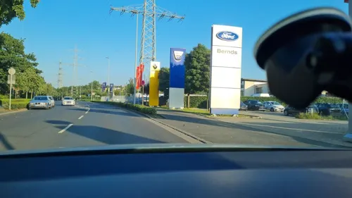
Swingerclub Escándalo
Bar and pub · 5.4 km
Club befindet sich direkt über dem Spielcasino Vulkan Stern.
8 Hanielstraße, Dinslaken
Mo-We 16:00-22:00, Fr,Sa 20:00-01:00, Th[-1] 10:00-15:00
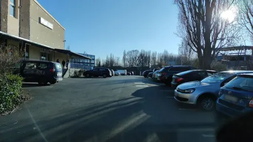

Bäckerei Schollin
Bakery
55 Bahnhofstraße, Voerde (Niederrhein)
Mo-Fr 06:00-18:00; Sa 06:00-15:00; Su 07:00-15:00

Mammas Simple Food
Restaurant · Pizza · 5.7 km
42 Otto-Lilienthal-Straße, Dinslaken
Mo-Sa 12:00-14:30,17:30-22:00; Su 16:30-22:00
Ming
Restaurant · Chinese · 4.2 km
7 Am Alten Drahtwerk, Dinslaken
Mo-Sa 12:00-15:00,17:30-23:00; PH,Su 12:15-23:00
Ristorante Il Nido
Restaurant · Italian
50 Bahnhofstraße, Voerde (Niederrhein)
Tu-Sa 17:00-22:30; Su 12:00-15:00,17:00-22:30
Soul Sushi Dinslaken
Restaurant · Sushi · 5.1 km
64 Neustraße, Dinslaken
Mo-Th 11:00-21:30; Fr 11:00-22:00; Sa,Su 12:00-22:00
ZELOH
Restaurant · International · 5.6 km
9 Energiering, Dinslaken
Fr 17:30-22:00; Sa 10:00-22:00; Su,PH 10:00-18:00
160 more on the map.
History
Voerde owes its name to a ford crossing of a branch of the River Rhine, which existed there during Roman and Frankish times (the old spelling for Furt was Fuerdt). In 1244, the town was mentioned in records for the first time as a fiefdom and castle of the abbey of Werden. In 1804, during the time of the French occupation, Voerde was integrated into the Amt Götterswickerhamm, which was renamed to Voerde in 1911.
During World War II, the 9th US-Army crossed the Rhine in the night of 23 to 24 March 1945 in the area of Voerde and reached the right Rhine-bank for the first time (Operation Plunder).
From the History section of Voerde on Wikipedia, under CC BY-SA 4.0.
More about Voerde
Education
There are 7 elementary schools, one gymnasium, one comprehensive school, one secondary school and one school for mentally handicapped pupils.
From the Wikipedia article Voerde, under CC BY-SA 4.0.
Notable people from Voerde
- Karl ToppGerman naval officer (1895-1981)
- Anke te HeesenGerman historian of science
- Hermann Kraushaar
- Johann HinnemannGerman equestrian
Born in Voerde, according to Wikidata (CC0). Each name links to its Wikipedia article.
Where to stay7
Churches and places of worship28
Evangelische Kirche Götterswickerhamm
Church · Protestant · 2.5 km
41 Dammstraße, Voerde (Niederrhein)
Evangelische Kirche Spellen
Church · Protestant · 4.9 km
13 Friedrich-Wilhelm-Straße, Voerde (Niederrhein)
Ev. Kirchengemeinde Spellen-Friedrichsfeld
Church · Protestant · 4.2 km
34 Wilhelmstraße, Voerde (Niederrhein)
Shopping48
Gas and EV charging22
Freie Tankstelle
Gas station · 2.2 km
234 Dinslakener Straße, Voerde (Niederrhein)
Schools, colleges and libraries30
Berufskolleg Dinslaken Standort Konrad-Adenauer-Str.
School · 5.2 km
49 Konrad-Adenauer-Straße, Dinslaken
Healthcare20
Map of Voerde
250 places. The map loads OpenStreetMap tiles when you open it.
Getting there and nearby towns
Flughafen Essen-Mülheim (ESS) is the nearest airport with scheduled flights listed in OpenStreetMap, 28 km away.
- Hünxe 4 km north, about 4 min by car
- Dinslaken 6 km southeast, about 6 min by car
- Rheinberg 8 km southwest, about 8 min by car
- Wesel 9 km northwest, about 9 min by car
- Alpen 12 km west, about 12 min by car
- Kamp-Lintfort 14 km southwest, about 14 min by car
- Moers 16 km south, about 16 min by car
- Schermbeck 16 km northeast, about 16 min by car
- Oberhausen 18 km southeast, about 18 min by car
- Duisburg 19 km south, about 19 min by car
Drive times are estimates from straight-line distance, not routes.
Towns near Voerde


Keep exploring
Local news
Headlines from INDB.
Reviews, tips and questions
Loading what members have shared...
Sources and licences
- GeoNames (CC BY 4.0): population, coordinates, regions and time zone
- Mapillary (see each image): photos
- OpenStreetMap contributors (ODbL 1.0): places, airports, map data
- Wikidata (CC0 1.0): elevation, founding date, time zone, website, landmarks and historic places
- Wikimedia Commons (see each image): photos
- Wikipedia (CC BY-SA 4.0): overview and history text
Photo credits
- Rathaus Voerde 2026, Tohma ( talk ), CC BY-SA 4.0
- RRX 462 004 Voerde 2607152055, Clic, CC BY 4.0
- Voerde Nrh-Voerder Vogel-Gerhard Finke 01, Dat doris, CC BY-SA 4.0
- Voerde Nrh-Voerder Vogel-Gerhard Finke 02, Dat doris, CC BY-SA 4.0
- Bahnhof Voerde 2311200811, Clic, CC BY 4.0
- DB 3429 013 Voerde 2603161837, Clic, CC BY 4.0
- DB 3429 013 Voerde 2603161838, Clic, CC BY 4.0
- DB 3429 013 Voerde 2603161836, Clic, CC BY 4.0
- Clp 20150424 4635 Hp Üst Voerde (Niederrhein) EG, Christian Liebscher, CC BY-SA 4.0
- Clp 20150424 4638 Hp Üst Voerde (Niederrhein) EG, Christian Liebscher, CC BY-SA 4.0
- Bahnhof Voerde 2311200812, Clic, CC BY 4.0
- VIAS ET25 2214 Voerde 2311161607, Clic, CC BY 4.0
- Clp 20150424 4637 Hp Üst Voerde (Niederrhein) Bstg, Christian Liebscher, CC BY-SA 4.0
- Bahnhof Voerde 2311161616, Clic, CC BY 4.0
- Voerde Nrh-Bahnhof-RE19 01, Dat doris, CC BY-SA 4.0
- Voerde Nrh-Bahnhof-RE19 02, Dat doris, CC BY-SA 4.0
- VIAS ET25 2213 Voerde 2506271215, Clic, CC BY 4.0
- Bahnhof Voerde (Niederrhein), Euku, CC BY-SA 3.0
- VIAS ET25 2206 Voerde 2601021221, Clic, CC BY 4.0
- DB 3429 012 Voerde 2601021240, Clic, CC BY 4.0
- DB 3429 012 Voerde 2601021239, Clic, CC BY 4.0
- DB 3429 012 Voerde 2601021241, Clic, CC BY 4.0
- Clp 20150424 4632 Hp Üst Voerde (Niederrhein) DB Pluspunkt, Christian Liebscher, CC BY-SA 4.0
- Clp 20150424 4633 Hp Üst Voerde (Niederrhein) Bstg, Christian Liebscher, CC BY-SA 4.0
- Bahnhof Voerde 2505171113, Clic, CC BY 4.0
- Bahnhofsschild Voerde (Niederrhein) 2311200813, Clic, CC BY 4.0
- RRX 462 020 Voerde 2311200818, Clic, CC BY 4.0
- Bahnhof Voerde 2511091158, Clic, CC BY 4.0
- Bahnhofsschild Voerde (Niederrhein) 2511091157, Clic, CC BY 4.0
- Bahnhofsschild Voerde (Niederrhein) 2511091158, Clic, CC BY 4.0
- Bahnhof Voerde 2511091150, Clic, CC BY 4.0
- Bahnhof Voerde 2511091151, Clic, CC BY 4.0
- Bahnhof Voerde 2511091156, Clic, CC BY 4.0
- Bahnhof Voerde 2511091153, Clic, CC BY 4.0
- Bahnhof Voerde 2511091159, Clic, CC BY 4.0
- Bahnhof Voerde 2511091154, Clic, CC BY 4.0
- Bahnhof Voerde 2511091152, Clic, CC BY 4.0
- DB 3429 013 Voerde 2603161846, Clic, CC BY 4.0
- Bahnhof Voerde 2411020815, Clic, CC BY 4.0
- VIAS ET25 2206 Voerde 2601021222, Clic, CC BY 4.0
- Burghofbuehne Dinslaken, Daniel Ullrich Threedots, CC BY-SA 3.0
- Brückenreste, Wolfgang Rabsahl (Lizenz bei Hans Schlieper durch den Fotografen), Public domain
- Dinslaken, Burg Dinslaken, 2011-05 CN-01 retouched, kaʁstn Disk / Cat, CC BY-SA 3.0 de
- NRW, Dinslaken - Evangelische Stadtkirche 01, Островский Александр, Киев, CC BY-SA 3.0
- Dinslaken, Theodor-Heuss-Gymnasium, 2011-05 CN-01, kaʁstn Disk / Cat, CC BY-SA 3.0 de
- Voerde, Götterswickerhamm, Evangelische Kirche, 2020-06 CN-02, Steffen Schmitz ( more photos ), CC BY-SA 4.0
- Aaper Vennekes 2, 46WES, CC BY-SA 4.0
- Haus Voerde v2, Daniel Ullrich ( Threedots ), edited by Sir Gawain, CC BY-SA 3.0
- Neutor Galerie Dinslaken, Martin Rybka, CC BY-SA 4.0
- Rheinberg, Rheinvorland zwischen Eversael und Ossenberg, 2020-06 CN-08, Steffen Schmitz ( more photos ), CC BY-SA 4.0
- Flutmulden an der Lippemündung, Dilemmsen, CC BY-SA 4.0
- A part of Hünxe - panoramio (5), King Otto, CC BY-SA 3.0
- Mommniederung, Stephan Soblik, CC BY-SA 4.0
- Dinslaken Walsum Rheinaue Rheindeich 7448 201704, Matthias Nonnenmacher, CC BY-SA 4.0
- NSG Rheinvorland zwischen Mehrum und Emmelsum WES 055, Xjvolker, CC BY-SA 4.0
- Kolonie Lohberg82260, Rainer Halama, CC BY-SA 3.0
- Evangelische Kirche Spellen-001, Harald Lordick, CC BY-SA 3.0
- Herz Jesu, Duisburg-Overbruch, Thomas Dodt, CC BY-SA 4.0
- Haus Schwarzenstein, Drevenack, Hünxe, Maschinenjunge, CC BY-SA 3.0
- Rheinaue-2, Unknown author, CC BY-SA 3.0
- Haus Mehrum Duncker 1865, Hermann Menzler nach Heinrich Deiters (1840-1916), Alexander Duncker (1813-1897), Public domain
- Dinslaken, St. Vincentius, 2011-05 CN-01, kaʁstn Disk / Cat, CC BY-SA 3.0 de
- Street-level photo, poxonline, CC BY-SA 4.0
- Street-level photo, poxonline, CC BY-SA 4.0
- Street-level photo, klimakas, CC BY-SA 4.0
- Street-level photo, poxonline, CC BY-SA 4.0
- Street-level photo, poxonline, CC BY-SA 4.0
- Street-level photo, poxonline, CC BY-SA 4.0
- Street-level photo, poxonline, CC BY-SA 4.0
- Street-level photo, poxonline, CC BY-SA 4.0
- Street-level photo, poxonline, CC BY-SA 4.0
- Street-level photo, diecookieente, CC BY-SA 4.0
- Street-level photo, LouCipher, CC BY-SA 4.0
- Street-level photo, poxonline, CC BY-SA 4.0
- Street-level photo, poxonline, CC BY-SA 4.0
- Street-level photo, Lowiekse, CC BY-SA 4.0
- Street-level photo, poxonline, CC BY-SA 4.0
- Street-level photo, poxonline, CC BY-SA 4.0
- Street-level photo, diecookieente, CC BY-SA 4.0
- Street-level photo, diecookieente, CC BY-SA 4.0
- Street-level photo, LouCipher, CC BY-SA 4.0
- Street-level photo, uwekoch, CC BY-SA 4.0
- Street-level photo, poxonline, CC BY-SA 4.0


Page built November 9, 2026. Spotted a mistake? Tell us or suggest a place.