


Why visit Täferrot
Townapedia lists 8 museums and landmarks, 25 places to eat, 3 places to stay and 2 attractions in and around town.
Highlights include Hofladen Fauser Hof, Atelier Stöcker and Schloss Leinzell.
Weather in Täferrot
Forecast from MET Norway (CC BY 4.0). Full forecast
About Täferrot
Täferrot (German: [tɛːfɐˈʁoːt]) is a municipality in the German state of Baden-Württemberg, in Ostalbkreis district. Originally named Rot, it was named Afrenrot (after Saint Afra) in 1298 to distinguish it from other towns with the same name. This became corrupted to Täferrot.[1]
From the Wikipedia article Täferrot (this version), under CC BY-SA 4.0.
Things to do2
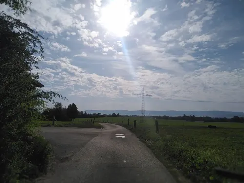
Hofladen Fauser Hof
Farm and orchard · 3.1 km
1 Sandäcker, Mutlangen
Tu 09:00-14:00; Fr 09:00-18:30; Sa 08:00-12:00

Museums and landmarks8
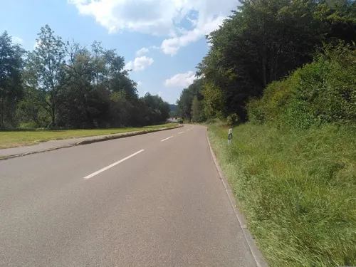

Schloss Leinzell
Monument and historic site · 2.9 km
17 Gögginger Straße, Leinzell

Schloss Lindach
Monument and historic site · 3.0 km
1 Schloß Lindach, Schwäbisch Gmünd



Restaurants and cafes25
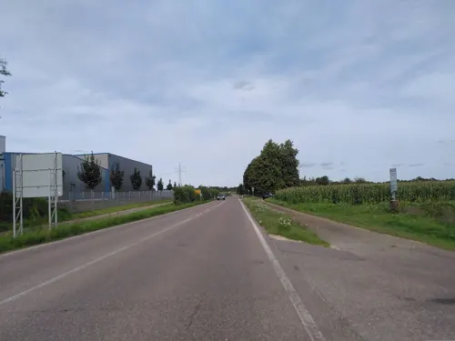
Bäckerei - Konditorei Mühlhäuser
Bakery · 1.9 km
Bäckerei – Konditorei Mühlhäuser – Dein Heimatbäcker seit über 75 Jahren Genießen Sie unsere handwerklich gebackenen Backwaren aus...
80 Täferroter Straße, Schwäbisch Gmünd
Mo-Fr 06:30-19:00, Sa 07:00-19:00; PH off

Bäckerei Bläse
Bakery · 2.7 km
33 Hans-Diemar-Straße, Schwäbisch Gmünd
Mo-Sa 05:00-18:00; Su 07:00-11:00

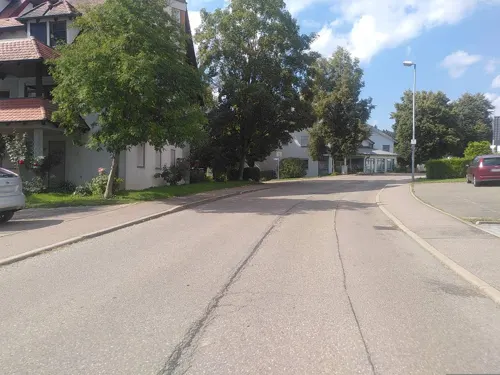

Schützenhaus Herlikofen
Bar and pub · 3.5 km
1 Herlingsklinge, Schwäbisch Gmünd
Tu 18:00-23:00; Sa 14:00-18:00; Su 09:00-12:00
Gaststätte Schützenhaus
Restaurant · 3.1 km
2 Obere Grünhalde, Schwäbisch Gmünd
"Vereinsheim"
Grotte
Restaurant · Pizza, Kebab · 2.6 km
Su-Th,PH 11:00-24:00; Fr,Sa 11:00-01:00
Bäckerei Weith
Bakery · 3.4 km
Mo,Tu,Th,Fr 06:00-18:00; We 06:00-13:00; Sa 06:00-12:30
13 more on the map.
Where to stay3



Churches and places of worship9
St. Nikolauskirche
Church · Protestant · 2.8 km
12 Paul-Gerhardt-Weg, Schwäbisch Gmünd
Shopping8
Gas and EV charging2
Schools, colleges and libraries7
Freie Evangelische Schule
School · Pentecostal · 2.1 km
47 Osterlängstraße, Schwäbisch Gmünd
Healthcare2
Apotheke Lindach
Clinic and pharmacy · 2.7 km
30 Hans-Diemar-Straße, Schwäbisch Gmünd
Map of Täferrot
66 places. The map loads OpenStreetMap tiles when you open it.
Getting there and nearby towns
Manfred Rommel Airport Stuttgart (STR) is the nearest airport with scheduled flights listed in OpenStreetMap, 49 km away.
- Schwäbisch Gmünd 6 km southwest, about 6 min by car
- Heubach 9 km southeast, about 9 min by car
- Lorch 12 km southwest, about 12 min by car
- Welzheim 15 km west, about 15 min by car
- Gaildorf 17 km north, about 17 min by car
- Donzdorf 18 km south, about 18 min by car
- Aalen 19 km east, about 19 min by car
- Süßen 20 km south, about 20 min by car
- Göppingen 21 km southwest, about 21 min by car
- Schorndorf 23 km west, about 23 min by car
Drive times are estimates from straight-line distance, not routes.
Local news
Headlines from INDB.
Reviews, tips and questions
Loading what members have shared...
Sources and licences
- GeoNames (CC BY 4.0): population, coordinates, regions and time zone
- Mapillary (see each image): photos
- OpenStreetMap contributors (ODbL 1.0): places, airports, map data
- Wikidata (CC0 1.0): elevation, founding date, time zone, website, landmarks and historic places
- Wikimedia Commons (see each image): photos
- Wikipedia (CC BY-SA 4.0): overview and history text
Photo credits
- Rueckhaltebecken Taeferrot1, Hey_Teacher, CC BY-SA 3.0
- Gmuend Muenster von Suedwest, Beckstet at German Wikipedia, CC BY-SA 3.0
- PH Gmuend Hoersaalgebaeude, dealerofsalvation, CC BY-SA 4.0
- SchlossLeinzell, Kreuzschnabel, CC BY-SA 3.0
- Schloss Lindach Ostansicht, dealerofsalvation, CC BY-SA 3.0
- Kirche Lindach Südwest, dealerofsalvation, CC BY-SA 3.0
- St. Alban Herlikofen 1, Hey Teacher, CC BY-SA 4.0
- Heilig-Geist-Kirche Lindach, dealerofsalvation, CC BY-SA 3.0
- Holzkreuz Leinzell Igginger Weg32, Aalen1, CC0
- Muttergottes im Apfelbaum Iggingen, Aalen1, CC0
- Maria Stein Schwäbisch Gmünd Herlikofen Heckmann, Aalen1, CC0
- Landappbw 181712 1820 Kirche St. Afra Täferrot, Roland Knobloch, CC0
- Street-level photo, MartinRust, CC BY-SA 4.0
- Street-level photo, MartinRust, CC BY-SA 4.0
- Street-level photo, MartinRust, CC BY-SA 4.0
- Street-level photo, soulcover, CC BY-SA 4.0
- Street-level photo, MartinRust, CC BY-SA 4.0
- Street-level photo, MartinRust, CC BY-SA 4.0
- Street-level photo, pic_nick, CC BY-SA 4.0
- Street-level photo, pic_nick, CC BY-SA 4.0
- Street-level photo, pic_nick, CC BY-SA 4.0
- Street-level photo, MartinRust, CC BY-SA 4.0
- Street-level photo, MartinRust, CC BY-SA 4.0
- Street-level photo, soulcover, CC BY-SA 4.0
- Street-level photo, MartinRust, CC BY-SA 4.0
- Street-level photo, pic_nick, CC BY-SA 4.0
- Street-level photo, soulcover, CC BY-SA 4.0
- Street-level photo, soulcover, CC BY-SA 4.0
- Street-level photo, soulcover, CC BY-SA 4.0
- Street-level photo, pic_nick, CC BY-SA 4.0


Page built November 8, 2026. Spotted a mistake? Tell us or suggest a place.