
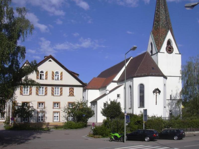


Why visit Donzdorf
Townapedia lists 31 museums and landmarks, 16 parks and trails, 98 places to eat, 9 places to stay and 20 attractions in and around town.
Highlights include Pomme Jardin, Hohenstein, Alfred Baer and Alfred Metzger.
Weather in Donzdorf
Forecast from MET Norway (CC BY 4.0). Full forecast
About Donzdorf
Donzdorf (German pronunciation: [ˈdɔntsˌdɔʁf] ) is a town in the district of Göppingen in Baden-Württemberg in southern Germany.
From the Wikipedia article Donzdorf (this version), under CC BY-SA 4.0.
Things to do20
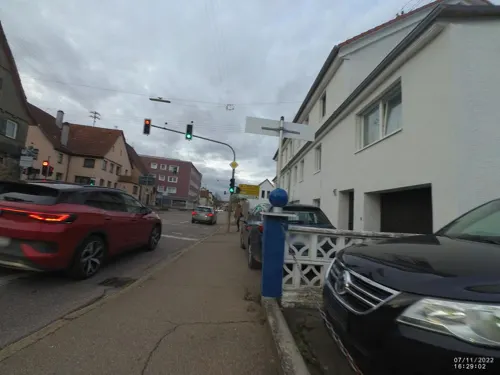
Pomme Jardin
Farm and orchard · 3.9 km
1 Mühlgasse, Gingen an der Fils
open "Verkauf nach Rücksprache"


Milchhütte Mauz
Farm and orchard · 3.2 km
64 Brunnenstraße, Gingen an der Fils
Mo-Fr 06:30-20:00; Sa 06:30-19:00; Su 07:30-19:00
Hausmetzgerei Gutmann
Farm and orchard · 4.9 km
86/1 Grünenberger Straße, Süßen
Mo 15:30-18:30; Tu off; We-Th 15:30-18:30; Fr 10:00-12:00,...

Bloßenbergle
Scenic view · 4.8 km
Https://rp.baden-wuerttemberg.de/fileadmin/RP-Internet/Stuttgart/Abteilung_5/Naturschutzgebiete/_DocumentLibraries/Documents/Naturschutzg...
8 more on the map.
Museums and landmarks31

19 more on the map.
Parks, trails and playgrounds16





4 more on the map.
Restaurants and cafes98

Landgasthof Pension Heldenberg
Restaurant · German, Regional · 4.5 km
19:30 Uhr letzte Bestellnnahme
1 Am Heldenberg, Lauterstein
Mo, Tu off; We, Th 11:30-14:00, 17:30-21:30; Fr 17:30-21:30; Sa...

Bäckerei und Konditorei Kauderer
Cafe · 4.1 km
2 Immenreich, Gingen an der Fils
Mo-Fr 05:15-18:00; Sa 06:00-17:00; Su 07:30-18:00

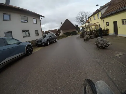
Gasthaus zur Mutter Franzl
Restaurant · Regional · 2.9 km
9 Kuchalb, Donzdorf
Th,Fr 14:00+; Sa 11:30+; Su 11:00+
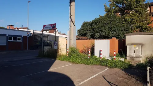
Gleis Cafe Dolomiti
Restaurant · Italian · 3.7 km
10 Bahnhofstraße, Süßen
Mo 09:00-22:00; Tu Off; We-Fr 09:00-22:00; Sa,Su,PH 11:30-23:00
L'Aquila zum Adler
Restaurant · Italian · 5.3 km
100 Hauptstraße, Salach
Tu-Sa 17:00-22:00; Su 11:00-14:00,17:00-21:30
Lindenhof
Restaurant · German · 0.6 km
17 Graf-Rechberg-Straße, Donzdorf
Tu-Fr 11:30-14:00,17:00+; Sa 17:00+; Su 11:30-14:00,17:30-20:30


Alte Post
Restaurant · 5.0 km
3 Staubstraße, Kuchen
Tu-Sa 11:00-14:30, 17:00-24:00; Su 11:00-15:30, 17:00-24:00
Asia Haus Mekong
Restaurant · Asian · 3.7 km
79 Heidenheimer Straße, Süßen
Mo-Fr 11:00-14:30, 17:00-23:00; Sa 17:00-23:00; Su 11:00-14:30, 17:00-23:00
86 more on the map.
Where to stay9
Gästehaus am Reiterhof Mutschler
Motel and hotel · 1.7 km
3/1 Hagenbucher Mühle, Donzdorf
Churches and places of worship32
Friedhofskapelle
Church · Roman Catholic · 4.4 km
1 Friedhofstraße, Lauterstein
St. Martinus
Church · Roman Catholic · 4.6 km
35 Hauptstraße, Lauterstein
St. Sebastian und Rochus
Church · Roman Catholic · 3.1 km
3 Maibachstraße, Donzdorf
Shopping18
Gas and EV charging10
Schools, colleges and libraries18
Healthcare8
Map of Donzdorf
250 places. The map loads OpenStreetMap tiles when you open it.
Getting there and nearby towns
Manfred Rommel Airport Stuttgart (STR) is the nearest airport with scheduled flights listed in OpenStreetMap, 43 km away.
- Süßen 4 km west, about 4 min by car
- Geislingen an der Steige 7 km south, about 7 min by car
- Göppingen 12 km west, about 12 min by car
- Schwäbisch Gmünd 13 km north, about 13 min by car
- Heubach 15 km northeast, about 15 min by car
- Lorch 15 km northwest, about 15 min by car
- Uhingen 17 km west, about 17 min by car
- Gerstetten 17 km southeast, about 17 min by car
- Ebersbach an der Fils 21 km west, about 21 min by car
- Schorndorf 25 km northwest, about 25 min by car
Drive times are estimates from straight-line distance, not routes.
Local news
Headlines from INDB.
Reviews, tips and questions
Loading what members have shared...
Sources and licences
- GeoNames (CC BY 4.0): population, coordinates, regions and time zone
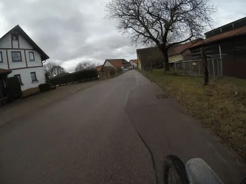
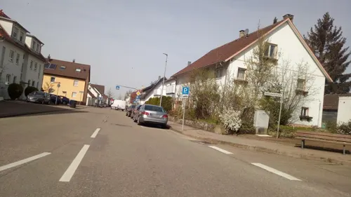
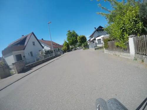
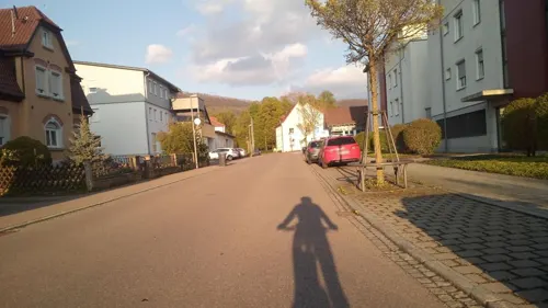
- Mapillary (see each image): photos
- OpenStreetMap contributors (ODbL 1.0): places, airports, map data
- Wikidata (CC0 1.0): elevation, founding date, time zone, website, landmarks and historic places
- Wikimedia Commons (see each image): photos
- Wikipedia (CC BY-SA 4.0): overview and history text
Photo credits
- DonzdorfSchloss, Ssch, CC BY-SA 3.0
- Donzdorf, Eingang Schloßhof - panoramio, Klaus Eltrop, CC BY-SA 3.0
- Donzdorf, Feuerwehrhaus - panoramio, Klaus Eltrop, CC BY-SA 3.0
- Donzdorf, zum Schloßhof - panoramio, Klaus Eltrop, CC BY-SA 3.0
- Donzdorf, Kunstwerke - panoramio, Klaus Eltrop, CC BY-SA 3.0
- Donzdorf, schöne Straße - panoramio, Klaus Eltrop, CC BY-SA 3.0
- Donzdorf, Kirche - panoramio, Klaus Eltrop, CC BY-SA 3.0
- Donzdorf, Fachwerkhaus - panoramio, Klaus Eltrop, CC BY-SA 3.0
- Road in Donzdorf - panoramio, Klaus Eltrop, CC BY-SA 3.0
- Spielplatz in Donzdorf - panoramio, Klaus Eltrop, CC BY-SA 3.0
- Donzdorf Lautergartenstr. Ecke Stöcklenstraße - panoramio, Klaus Eltrop, CC BY-SA 3.0
- Donzdorf Stöcklenstr - panoramio, Klaus Eltrop, CC BY-SA 3.0
- Donzdorf Lautergartenstr. Ecke Stöcklenstraße - panoramio (1), Klaus Eltrop, CC BY-SA 3.0
- Donzdorf Lautergartenstr. Ecke Stöcklenstraße - panoramio (2), Klaus Eltrop, CC BY-SA 3.0
- Donzdorf Lautergartenstr. Ecke Stöcklenstraße - panoramio (3), Klaus Eltrop, CC BY-SA 3.0
- Gymnasium von Donzdorf - panoramio, Klaus Eltrop, CC BY-SA 3.0
- St. Maria (Hohenrechberg), Pwagenblast, CC BY-SA 3.0
- Messelstein Luftbild, Volker Gringmuth, CC BY-SA 3.0
- Reiterleskapelle, dealerofsalvation, CC BY-SA 4.0
- Nenningen-Friedhofskapelle, Kreuzschnabel, CC BY-SA 3.0
- 2017051313 NSG bei Donzdorf Winzingen, Joachim Lutz, CC BY-SA 4.0
- Johanneskirche Gingen an der Fils, Bonjour35, CC BY-SA 4.0
- SüßenMarienkirche, Mussklprozz, CC BY-SA 3.0
- 2014 Nenningen Kirche, Kreuzschnabel, CC BY-SA 3.0
- Süßen, Neue Marienkirche (10), Subbass1, CC BY-SA 4.0
- Katholische Kirche Winzingen, Außenansicht (2), Archivar-Alex, CC BY-SA 4.0
- Kirchhof - panoramio (4), Klaus Eltrop, CC BY-SA 3.0
- Kirchhof - panoramio (5), Klaus Eltrop, CC BY-SA 3.0
- Strassacker Schildkröte - panoramio, Klaus Eltrop, CC BY-SA 3.0
- Kirchhof - panoramio (6), Klaus Eltrop, CC BY-SA 3.0
- Schloss - panoramio (63), Klaus Eltrop, CC BY-SA 3.0
- Kirchhof - panoramio (3), Klaus Eltrop, CC BY-SA 3.0
- Schloss - panoramio (65), Klaus Eltrop, CC BY-SA 3.0
- Strassacker Wildschwein - panoramio, Klaus Eltrop, CC BY-SA 3.0
- Schloss - panoramio (64), Klaus Eltrop, CC BY-SA 3.0
- Innenstadt - panoramio (1), Klaus Eltrop, CC BY-SA 3.0
- Friseursalon Fantasy Hairstyle - panoramio (1), Klaus Eltrop, CC BY-SA 3.0
- Friseursalon Fantasy Hairstyle - panoramio, Klaus Eltrop, CC BY-SA 3.0
- Friseursalon Fantasy Hairstyle - panoramio (3), Klaus Eltrop, CC BY-SA 3.0
- Friseursalon Fantasy Hairstyle - panoramio (2), Klaus Eltrop, CC BY-SA 3.0
- Street-level photo, snahollag, CC BY-SA 4.0
- Street-level photo, mfa, CC BY-SA 4.0
- Street-level photo, mfa, CC BY-SA 4.0
- Street-level photo, bigbug21, CC BY-SA 4.0
- Street-level photo, snahollag, CC BY-SA 4.0
- Street-level photo, mfa, CC BY-SA 4.0
- Street-level photo, mfa, CC BY-SA 4.0
- Street-level photo, VIA_CH, CC BY-SA 4.0
- Street-level photo, VIA_CH, CC BY-SA 4.0
- Street-level photo, VIA_CH, CC BY-SA 4.0
- Street-level photo, nikMorgansss, CC BY-SA 4.0
- Street-level photo, soulcover, CC BY-SA 4.0
- Street-level photo, mfa, CC BY-SA 4.0
- Street-level photo, VIA_CH, CC BY-SA 4.0
- Street-level photo, VIA_CH, CC BY-SA 4.0
- Street-level photo, mfa, CC BY-SA 4.0
- Street-level photo, mfa, CC BY-SA 4.0
- Street-level photo, xallace, CC BY-SA 4.0
- Street-level photo, nikMorgansss, CC BY-SA 4.0
- Street-level photo, wegavision, CC BY-SA 4.0
- Street-level photo, andyna, CC BY-SA 4.0
- Street-level photo, VIA_CH, CC BY-SA 4.0
- Street-level photo, VIA_CH, CC BY-SA 4.0
- Street-level photo, soulcover, CC BY-SA 4.0


Page built November 8, 2026. Spotted a mistake? Tell us or suggest a place.