


Why visit Tangstedt
Townapedia lists 32 museums and landmarks, 28 parks and trails, 52 places to eat, 7 places to stay and 6 attractions in and around town.
Highlights include Speisekammer, Nahverkehrsmuseum Kleinbahnhof Wohldorf, BrookHus and Duvenstedter Brook.
Weather in Tangstedt
Forecast from MET Norway (CC BY 4.0). Full forecast
About Tangstedt
Tangstedt (German pronunciation: [ˈtaŋʃtɛt]; Low German: Tangsteed) is a municipality in the district of Stormarn, in Schleswig-Holstein, Germany. It is situated approximately 12 km (7.5 mi) northwest of Ahrensburg, and 22 km (14 mi) northeast of Hamburg.
From the Wikipedia article Tangstedt (this version), under CC BY-SA 4.0.
Photos of Tangstedt


Things to do6
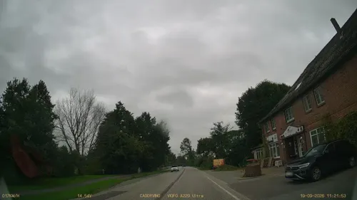




Museums and landmarks32

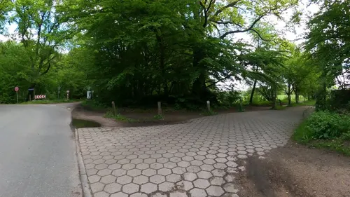
BrookHus
Museum · 4.1 km
140 Duvenstedter Triftweg, Hamburg
Feb-Mar Sa-Su 11:00-17:00; PH 11:00-17:00; Apr-Oct Tu-Fr...


Gedenkstätte KZ Wittmoor
Monument and historic site · 4.9 km
Naturstein mit einer eingelassenen Metalltafel mit o.g. Text in Dt. Sprache. Der Stein befindet sich im Zentrum einer kleinen...

Gedenktafel KZ Wittmoor
Monument and historic site · 4.5 km
Kleine Metalltafel in eine Steinstele eingelassen mit Text in Dt. Sprache.
KZ Wittmoor
Monument and historic site · 5.0 km
Behauener Naturstein, auf einer Seite abgeflacht, mit o.g. Text in Dt. Sprache.

Wohldorfer Herrenhaus
Monument and historic site · 4.0 km
4 Herrenhausallee, Hamburg



Kerinnes - Haus
Monument and historic site · 3.8 km
Behelfsheim des Deutschen Wohnungshilfswerk, auch Ley-Haus oder Reichseinheitstyp aus dem Jahr 1944
Den Gefallenen des 1. und 2. Weltkrieges
Monument and historic site · 5.5 km
Denkmal/Mahnmal für die Gefallenen des 1. und 2. Weltkrieges
20 more on the map.
Parks, trails and playgrounds28






16 more on the map.
Restaurants and cafes52
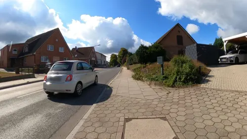
Duvenstedter Eiscafé
Cafe · Cake, Breakfast, Coffee Shop, Ice Cream · 3.0 km
8 Poppenbütteler Chaussee, Hamburg
Mo-Su 09:00-19:00
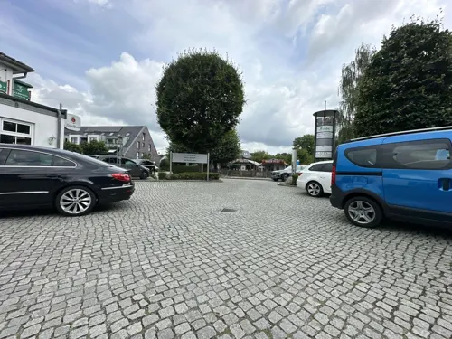
Hotel & Restaurant Zur Glashütte
Restaurant · German · 4.6 km
309 Segeberger Chaussee, Norderstedt
Mo,Th-Sa 16:00-22:00; Tu,We off
Krögers Kastanie
Restaurant · German · 3.6 km
14 Specksaalredder, Hamburg
Mo-Tu,Th-Sa 16:00-21:00; Su 12:00-14:30,16:00-21:00
Lenz
Restaurant · German · 3.0 km
3 Poppenbütteler Chaussee, Hamburg
Mo 12:00-14:30,17:30-21:00; Th 12:00-14:30,17:30-21:00; Fr-Su...
Maixim's
Restaurant · Chinese · 5.1 km
273 Segeberger Chaussee, Norderstedt
Mo,We-Sa 12:00-15:00,18:00-22:00; Su,PH 12:00-22:00

Bistro & Cafe Seeterrassen
Cafe · Snacks, Breakfast, Salad, Waffle, Pretzel, Sausage, Fries · 4.9 km
Samstags und Sonntags Frühstück von 09:00-12:00
55 Stormarnstraße, Norderstedt
Mo-Su,PH 11:00-18:00

Alte Rader Schule
Restaurant · Regional · 2.6 km
209 Rader Weg, Tangstedt
Tu-Sa 12:00-22:00; Su 12:00-21:00
Restaurant Ambrosia
Restaurant · Greek · 2.4 km
15 Weg am Sportplatz, Tangstedt
Tu-Sa 16:00-22:00; Su,PH 12:00-22:00
40 more on the map.
Where to stay7
Churches and places of worship4
Shopping11
Gas and EV charging9
Schools, colleges and libraries5
Healthcare7
Map of Tangstedt
161 places. The map loads OpenStreetMap tiles when you open it.
Getting there and nearby towns
Hamburg Airport (HAM) is the nearest airport with scheduled flights listed in OpenStreetMap, 13 km away.
- Duvenstedt 3 km south, about 3 min by car
- Lemsahl-Mellingstedt 5 km south, about 5 min by car
- Norderstedt 7 km southwest, about 7 min by car
- Ahrensburg 12 km southeast, about 12 min by car
- Quickborn 12 km west, about 12 min by car
- Bargteheide 12 km east, about 12 min by car
- Kaltenkirchen 14 km northwest, about 14 min by car
- Barsbüttel 19 km south, about 19 min by car
- Rellingen 19 km southwest, about 19 min by car
- Hamburg 21 km south, about 21 min by car
Drive times are estimates from straight-line distance, not routes.
Towns near Tangstedt


Keep exploring
Local news
Headlines from INDB.
Reviews, tips and questions
Loading what members have shared...
Sources and licences
- GeoNames (CC BY 4.0): population, coordinates, regions and time zone
- Mapillary (see each image): photos
- OpenStreetMap contributors (ODbL 1.0): places, airports, map data
- Wikidata (CC0 1.0): elevation, founding date, time zone, website
- Wikimedia Commons (see each image): photos
- Wikipedia (CC BY-SA 4.0): overview and history text
Photo credits
- Wulksfelde - Gut Wulkdsfelde, flamenc, CC BY-SA 3.0
- Tangstedt - Casa de la vila, flamenc, CC BY-SA 3.0
- Tangstedt - Feuerwehr, flamenc, CC BY-SA 3.0
- Ehemaliges Melkerhaus in Tangstedt 01, Tmhpr, CC BY-SA 4.0
- Ehemaliges Melkerhaus in Tangstedt 02, Tmhpr, CC BY-SA 4.0
- Halbmeilenstein Chaussee Altona-Lübeck - Altona 3½M (Tangstedt) 02, Ajepbah, CC BY-SA 3.0
- Halbmeilenstein Chaussee Altona-Lübeck - Altona 3½M (Tangstedt) 01, Ajepbah, CC BY-SA 3.0
- Tangstedter Graben -Wiesenweg, flamenc, CC BY-SA 3.0
- Tangstedt - Muehlenau, flamenc, CC BY-SA 3.0
- Berdenbek - Landschop, flamenc, CC BY-SA 3.0
- Duvenstedter Brook Beim Hexenstein, NordNordWest, CC BY-SA 3.0 de
- KZ Wittmoor, Gedenkstein Fuchsmoorweg (Norderstedt-Glashütte) 02, Ajepbah, CC BY-SA 3.0
- Wohldorfer Wald AmmersbekSumpf1, Vitavia, CC BY-SA 3.0
- Kleinbahnmuseum Wohldorf (Hamburg-Wohldorf-Ohlstedt).1.23100.ajb, Ajepbah, CC BY-SA 3.0 de
- Freiluftschule Wohldorf 02, Sebastian Koppehel, CC BY 4.0
- Schule am Walde (Hamburg-Wohldorf-Ohlstedt).1.25444.ajb, Ajepbah, CC BY-SA 3.0 de
- Cantate-Kirche in Hamburg-Duvenstedt, Minderbinder, CC BY-SA 4.0
- Wohldorf-ohlstedt matth claudius kirche 14, Dirtsc, CC BY-SA 4.0
- Stolperstein Czeslawa Jaglinski (Mutter).Tangstedt.nnw, NordNordWest, CC BY-SA 3.0 de
- KZ Wittmoor, Gedenktafel Segeberger Chaussee 310 (Norderstedt-Glashütte), Ajepbah, CC BY-SA 3.0
- Herrenhaus Wohldorf (Hamburg-Wohldorf-Ohlsetdt), Ajepbah, CC BY-SA 3.0
- Meilenstein Chaussee Altona-Lübeck - Altona 4M (Kayhude, Heidkrug) 05, Ajepbah, CC BY-SA 3.0
- Lütt-Witt Moor 1, Jan van der Crabben (Photographer), CC BY-SA 2.0
- Wittmoor in Froehjohrstiet, flamenc, CC BY-SA 3.0
- Pferde in den Wiesen der Oberalsterniederung, Éclaircie, CC BY-SA 3.0
- Naturschutzgebiet Oberalsterniederung Nr 76, Philipp Schüller, CC BY-SA 3.0
- Nahverkehrsmuseum Kleinbahnhof Wohldorf EckeVorne, DomenikaBo, CC BY-SA 4.0
- Straße mit Lindenallee, Tmhpr, CC BY-SA 4.0
- Wulksfelde - Muehlenau, flamenc, CC BY-SA 3.0
- Halenriggen - Tangsteder Graven, flamenc, CC BY-SA 3.0
- Street-level photo, quickness805, CC BY-SA 4.0
- Street-level photo, veloroute_hamburg, CC BY-SA 4.0
- Street-level photo, veloroute_hamburg, CC BY-SA 4.0
- Street-level photo, veloroute_hamburg, CC BY-SA 4.0
- Street-level photo, quickness805, CC BY-SA 4.0
- Street-level photo, veloroute_hamburg, CC BY-SA 4.0
- Street-level photo, veloroute_hamburg, CC BY-SA 4.0
- Street-level photo, Dancingman, CC BY-SA 4.0
- Street-level photo, DruideBizeps, CC BY-SA 4.0
- Street-level photo, DruideBizeps, CC BY-SA 4.0
- Street-level photo, veloroute_hamburg, CC BY-SA 4.0
- Street-level photo, quickness805, CC BY-SA 4.0
- Street-level photo, quickness805, CC BY-SA 4.0
- Street-level photo, DruideBizeps, CC BY-SA 4.0
- Street-level photo, DruideBizeps, CC BY-SA 4.0
- Street-level photo, veloroute_hamburg, CC BY-SA 4.0
- Street-level photo, DruideBizeps, CC BY-SA 4.0
- Street-level photo, veloroute_hamburg, CC BY-SA 4.0
- Street-level photo, ruhr11, CC BY-SA 4.0
- Street-level photo, veloroute_hamburg, CC BY-SA 4.0
- Street-level photo, veloroute_hamburg, CC BY-SA 4.0
- Street-level photo, veloroute_hamburg, CC BY-SA 4.0
- Street-level photo, DruideBizeps, CC BY-SA 4.0
- Street-level photo, DruideBizeps, CC BY-SA 4.0
- Street-level photo, Dancingman, CC BY-SA 4.0


Page built November 9, 2026. Spotted a mistake? Tell us or suggest a place.