


Why visit Trittau
Townapedia lists 12 museums and landmarks, 12 parks and trails, 46 places to eat, 9 places to stay and 3 attractions in and around town.
Highlights include Hahnheider Turm, Pavillon am Wasserwerk, Motoren-Museum and Hahnheide.
Weather in Trittau
Forecast from MET Norway (CC BY 4.0). Full forecast
About Trittau
Trittau (German pronunciation: [ˈtʁɪtaʊ] ; West Low German: Trittow) is a municipality in Schleswig-Holstein, Germany, located 30 km east of Hamburg. It is the economical and administrative center of Amt Trittau, which is part of the Stormarn district. Other villages in the county are Grönwohld, Lütjensee, Großensee, Rausdorf and Grande.
From the Wikipedia article Trittau (this version), under CC BY-SA 4.0.
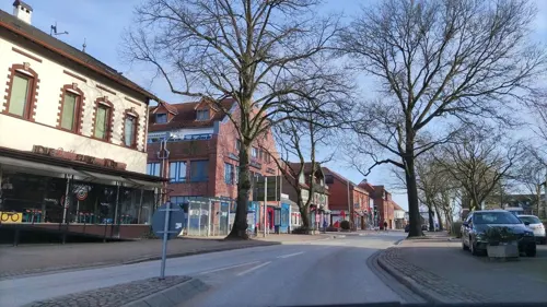
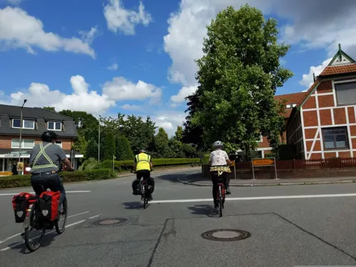
Photos of Trittau


Things to do3


Museums and landmarks12

Pavillon am Wasserwerk
Monument and historic site · 4.1 km
Kleines, repräsentatives Aufenthaltsgebäude
28 Pfefferberg



Gedenkstein Up ewig ungedeelt
Monument and historic site
1898 wurde zum Gedenken an die Schleswig-Holsteinische Erhebung 1848 bei der Kirche ein Stein mit der Aufschrift "Op ewig ungedelt"...
Herrenhaus
Monument and historic site · 4.4 km
Horvorgegangen ist das Anwesen aus einer wasserbetriebenen Kupfermühle, deren erste Anlagen bereits im 15. Jahrhundert bestanden haben...
Parks, trails and playgrounds12






Restaurants and cafes46
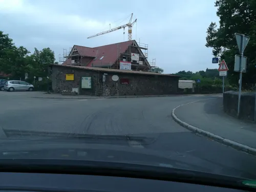
Alter Dorfkrug
Restaurant · Regional · 4.3 km
1 Fritz-Berodt-Straße, Großensee
Mo-Fr 17:00-22:00; Sa, Su, PH 12:00-22:00
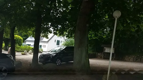

Grander Mühle
Restaurant · 3.7 km
1 Lauenburger Straße, Kuddewörde
Mo-Fr 17:00-23:00; Sa,Su 12:00-22:00
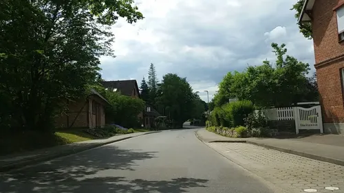
Zwanzig21
Restaurant · 3.4 km
Café Restaurant
6 Möllner Straße, Kuddewörde
We-Fr 17:00-21:00; Sa 14:00-21:00; Su 10:00-21:00
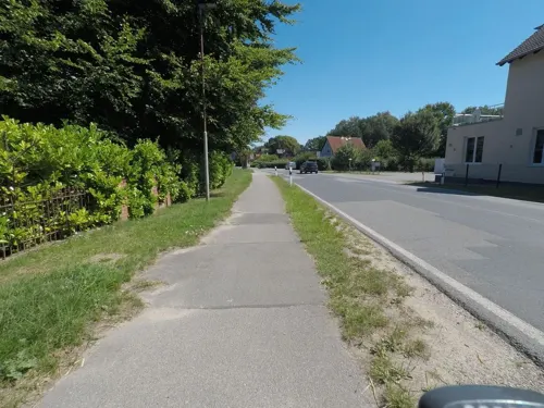
Rio Grande Rodizio
Restaurant · American, Brazilian · 2.9 km
Tu 16:00-22:00; We-Su 13:00-22:00; PH closed
Grill-Imbiss ELLAS
Restaurant · Greek
8 Europaplatz
Tu-Su 12:00-22:00
Ristorante Bianco
Restaurant · Italian · 3.5 km
2 Dorfstraße
Tu-Sa 17:00-23:00; Su 12:00-23:00
Braaker Mühle
Bakery · 4.3 km
1b Fritz-Berodt-Straße, Großensee
Mo-Fr 06:00-18:00; Sa 06:00-12:00; Su 08:00-16:00

Hotel & Restaurant Luna
Restaurant · 1.2 km
2 Heinrich-Hertz-Straße, Trittau
Mo-Fr 12:00-14:30,17:30-22:00; Sa 17:00-22:00; Su 12:00-22:00
Restaurant Piccolino
Restaurant · 4.0 km
19 Trittauer Straße, Großensee
Tu-Su 12:00-22:00; PH 12:00-22:00

34 more on the map.
History
The Trittau village dates back to the 12th century. It was first mentioned in 1167 in a document of Duke Henry the Lion. In those days it was situated close to the Hamburg - Rostock and Hamburg - Lübeck trade routes.
The village then consisted of a Saxon part (Groß-Trittau) and a Wagrian part (Klein-Trittau). In 1326, a castle was built to defend the region and the trade route against the Scarpenberg knights from nearby Linau castle.
From the History section of Trittau on Wikipedia, under CC BY-SA 4.0.
More about Trittau
Geography
Trittau is located close to the Hahnheide forest. Nearby rivers are the river Aue and the river Bille. The county is abundant with small lakes.
From the Wikipedia article Trittau, under CC BY-SA 4.0.
Notable people from Trittau
- Theodor SteltzerGerman politician (1885-1967)
- Jonathan PerssonGerman badminton player
- Alfred TevesGerman industrialist (1868–1953)
Born in Trittau, according to Wikidata (CC0). Each name links to its Wikipedia article.
Where to stay9
Churches and places of worship5
Maria Braut des Heiligen Geistes
Church · Roman Catholic · 1.0 km
8 Hebbelstraße, Trittau
Neuapostolische Kirche
Church · New Apostolic · 1.3 km
33 Lütjenseer Straße, Trittau
Shopping10
Gas and EV charging4
Schools, colleges and libraries3
Healthcare3
Map of Trittau
107 places. The map loads OpenStreetMap tiles when you open it.
Getting there and nearby towns
Hamburg Airport (HAM) is the nearest airport with scheduled flights listed in OpenStreetMap, 28 km away.
- Schwarzenbek 13 km southeast, about 13 min by car
- Ahrensburg 13 km northwest, about 13 min by car
- Reinbek 15 km southwest, about 15 min by car
- Glinde 15 km southwest, about 15 min by car
- Bargteheide 16 km northwest, about 16 min by car
- Wentorf bei Hamburg 16 km southwest, about 16 min by car
- Barsbüttel 16 km west, about 16 min by car
- Mölln 19 km east, about 19 min by car
- Geesthacht 19 km south, about 19 min by car
- Hamburg 28 km west, about 28 min by car
Drive times are estimates from straight-line distance, not routes.
Towns near Trittau


Keep exploring
Local news
Headlines from INDB.
Reviews, tips and questions
Loading what members have shared...
Sources and licences
- GeoNames (CC BY 4.0): population, coordinates, regions and time zone
- Mapillary (see each image): photos
- OpenStreetMap contributors (ODbL 1.0): places, airports, map data
- Wikidata (CC0 1.0): elevation, founding date, time zone, website
- Wikimedia Commons (see each image): photos
- Wikipedia (CC BY-SA 4.0): overview and history text
Photo credits
- Trittau-Kirchenstraße, Dguendel, CC BY 3.0
- Trittau-ehrenmal WK2, D. Ziemann, CC BY 3.0 de
- Orgel Martin-Luther-Kirche-Trittau 2016, Weimbs Orgelbau GmbH, CC BY-SA 4.0
- RK 2105 P1840933 Trittauer Mühlenbach, Reinhard Kraasch, CC BY-SA 4.0
- Kirchenstr 10 Trittau 20210201 02, JoeHard, CC BY-SA 4.0
- Kirchenstr 10 Trittau 20210201 01, JoeHard, CC BY-SA 4.0
- Trittau-church, Dguendel, CC BY 3.0
- Eiscafé Griem, Poststraße 33, Trittau, Андрей Романенко, CC BY-SA 4.0
- Poststraße (Trittau), Андрей Романенко, CC BY-SA 4.0
- Meat vending machine in Trittau, Андрей Романенко, CC BY-SA 4.0
- Poststraße 26, Trittau, Андрей Романенко, CC BY-SA 4.0
- Trittau-ehrenmal WK1, D. Ziemann, CC BY 3.0 de
- Gruenanlage Ehrenmal Trittau 20210121, JoeHard, CC BY-SA 4.0
- Vorburgstraße 3, Trittau - To Gao restaurant, Андрей Романенко, CC BY-SA 4.0
- Hahnheide-Trittauer Mühlenbach, Christoph Kobe, CC BY-SA 3.0
- Trittauer Wassermühle - panoramio (2), Kenzo, CC BY 3.0
- Trittauer Wassermühle - panoramio (1), Kenzo, CC BY 3.0
- Trittauer Wassermühle - panoramio, Kenzo, CC BY 3.0
- Trittauer Wassermühle - panoramio (3), Kenzo, CC BY 3.0
- TrittauerMuehle, No machine-readable author provided. UM assumed (based on copyright claims)., CC BY-SA 3.0
- Trittau Amtsgericht, Matzematik, CC BY-SA 3.0
- RK 0309 03454 Grander Muehle, Reinhard Kraasch, CC BY-SA 4.0
- Trittau Martin-Luther-Kirche 2, An-d, CC BY-SA 3.0
- Kuddewörde Kirche St Andreas, Matzematik, CC BY-SA 3.0
- Pavillon am Wasserwerk, Simmmox, CC BY-SA 4.0
- Mühlenbachtal-Obek, Christoph Kobe, CC BY-SA 3.0
- DSC01589b Mühlenbachtal Trittau Bachlauf, Gabi&Ralf Reinbek, CC BY-SA 4.0
- Wickel-Gruft 2018, JoeHard, CC BY-SA 4.0
- Wehrmechanik - panoramio, Kenzo, CC BY 3.0
- Pilze Hahnheide, Henning Sidow, CC BY-SA 4.0
- Naturschutzgebiet Forst Hahnheide, Pilze auf Waldboden, Mozzihh, CC BY-SA 4.0
- Hahnheider Turm Oktober 2010 - panoramio, Kenzo, CC BY 3.0
- Street-level photo, tian, CC BY-SA 4.0
- Street-level photo, tian, CC BY-SA 4.0
- Street-level photo, seb1982, CC BY-SA 4.0
- Street-level photo, tian, CC BY-SA 4.0
- Street-level photo, mjay, CC BY-SA 4.0
- Street-level photo, hotteliene, CC BY-SA 4.0
- Street-level photo, hotteliene, CC BY-SA 4.0
- Street-level photo, rasmustravemnd, CC BY-SA 4.0
- Street-level photo, hotteliene, CC BY-SA 4.0
- Street-level photo, hotteliene, CC BY-SA 4.0
- Street-level photo, hotteliene, CC BY-SA 4.0
- Street-level photo, hotteliene, CC BY-SA 4.0
- Street-level photo, hotteliene, CC BY-SA 4.0
- Street-level photo, mjay, CC BY-SA 4.0
- Street-level photo, seb1982, CC BY-SA 4.0
- Street-level photo, hotteliene, CC BY-SA 4.0
- Street-level photo, mjay, CC BY-SA 4.0
- Street-level photo, rasmustravemnd, CC BY-SA 4.0
- Street-level photo, hotteliene, CC BY-SA 4.0


Page built November 9, 2026. Spotted a mistake? Tell us or suggest a place.