
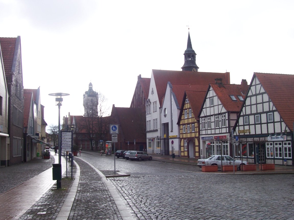


Verden, Germany
Verden (Aller)
Verden is a town of 26,924 people in Lower Saxony, Germany.
Why visit Verden
Townapedia lists 65 museums and landmarks, 35 parks and trails, 114 places to eat, 12 places to stay and 13 attractions in and around town.
Highlights include Bullerbeeks Hoff, Stoffers Hoff, Deutsches Pferdemuseum and Ackerbürgerhaus.
Weather in Verden
Forecast from MET Norway (CC BY 4.0). Full forecast
About Verden
Verden an der Aller (German: [ˈfeːɐ̯dn̩ ʔan dɐ ˈʔalɐ] ; Northern Low Saxon: Veern), also called Verden (Aller) or simply Verden, is a town in Lower Saxony, Germany, on the river Aller. It is the district town of the district of Verden in Lower Saxony and an independent municipality (de:Selbständige Gemeinde). The town is located in the middle Weser region on the Aller river immediately before it flows into the Weser. As a center of horse breeding and equestrian sports, it bears the nickname "equestrian town".
From the Wikipedia article Verden, Aller (this version), under CC BY-SA 4.0.
Travel tips from other travellers: Verden on Wikivoyage (CC BY-SA 4.0).
Things to do13

Bullerbeeks Hoff
Farm and orchard · 3.9 km
38 Achimer Straße, Verden
Mo-Fr 09:00-17:00; Sa 09:00-13:00; Su off

Königs Hoff
Farm and orchard · 6.9 km
Fr 17:00-19:00

1 more on the map.
Museums and landmarks65


Ackerbürgerhaus
Monument and historic site · 1.1 km
1577 unter dem Einfluss der Weserrenaissance errichtetes Ziegelfachwerkhaus. Eines der ältesten Häuser in Verden. Bauherr war Henricus...
7 Strukturstraße, Verden (Aller)
Jugendzentrum
Museum
Das Jugendzentrum Verden blickt in zweierlei Hinsicht auf eine bewegte Geschichte zurück: zum einen als Gebäude, zum anderen als...
7 Lindhooper Straße, Verden (Aller)
Mo[3] 15:00-20:00; Tu 15:00-20:00, 16:00-18:00 "offenes...




53 more on the map.
Parks, trails and playgrounds35

Magic Park Verden
Sports field and stadium · 2.5 km
Amusement park in Verden, Germany
3-7 Heideweg, Verden


Burgbad Langwedel
Sports field and stadium · 6.1 km
4 Burgweg, Langwedel
May-Aug: Mo-Fr 14:00-21:00, Sa-Su,SH 10:00-21:00


Untere Allerniederung im Landkreis Verden
Hiking and trails · 5.5 km


Verdener Motorboot-Verein (VMV)
Marina and boat launch · 2.2 km
Hafenmeister: +4915146645469 www.vmv-verden.de

Dünengebiet und Halsetal Verden-Neumühlen
Hiking and trails · 1.8 km

23 more on the map.
Restaurants and cafes114
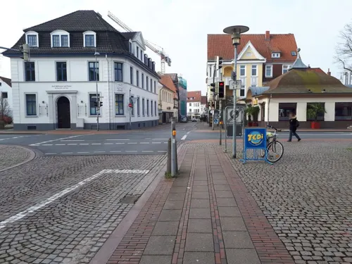
Bodega Verden
Restaurant · Mexican, Pizza, Burger, Beer
7a Ostertorstraße, Verden (Aller)
Mo-Th 12:00-24:00, Fr,Sa 12:00-24:00+, Su 10:00-23:00
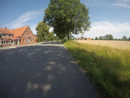
China Restaurant FuTai
Restaurant · Chinese · 6.6 km
16 In der Marsch, Blender
PH 11:30-23:00; Mo-Sa 11:30-15:00,17:30-23:00; Su 11:30-23:00
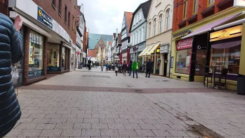
Daccapo Verden
Restaurant · Italian · 0.8 km
102 Große Straße, Verden (Aller)
We-Mo 11:00-15:00 17:00-22:00
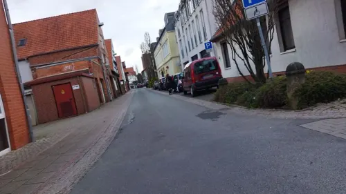
Diers
Cafe · Breakfast, Cake, Coffee Shop, Tea · 0.7 km
1 Nagelschmiedestraße, Verden (Aller)
Th-Sa 09:00-17:00
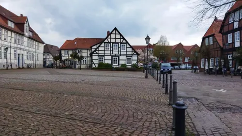
Lugenstein
Cafe · 0.9 km
2 Lugenstein, Verden (Aller)
Tu 09:00-12:00,18:00-21:00; We-Sa 09:00-14:00,18:00-21:00; Su,Mo off

Mamma Mia! Pizzeria
Restaurant · Italian · 7.0 km
1 Meierkamp, Blender
Tu-Sa 12:00-22:00; Su 16:00-22:00
Monte Carlo Verden
Restaurant · Italian · 0.7 km
1-3 Schleppenföhrerstraße, Verden (Aller)
Th-Fr 12:00-15:00, 18:00-23:00; Sa 18:00-23:00; Su 12:00-15:00,...
Piccolo Amore
Restaurant · Italian · 6.0 km
1 Verdener Straße, Kirchlinteln
Mo,We-Sa 17:30-22:00; Su 12:00-14:00,17:30-22:00
da Enza e Nico
Restaurant · Pizza, Italian · 3.7 km
8 Bettenbruch, Verden
Mo 17:30-23:30; Tu off; We-Fr 17:30-23:30; Sa...
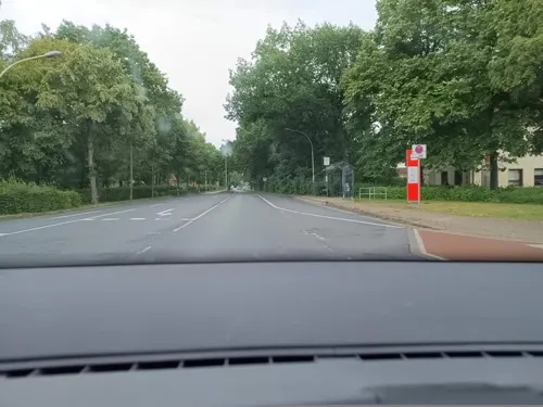
Bon A Petit
Cafe · 1.4 km
4 Carl-Hesse-Straße, Verden
Mo-Fr 11:00-14:30,17:00-21:00; Sa,Su 12:00-14:30,17:00-21:00
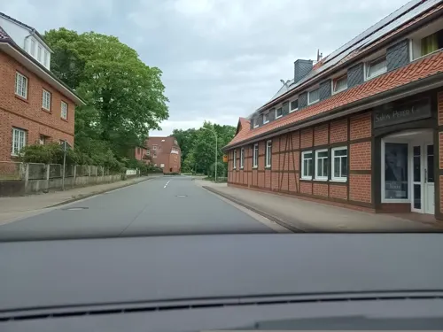


Bäckerei Wöbse
Bakery · 5.7 km
6 Alte Dorfstraße, Kirchlinteln
Mo-Fr 06:00-18:00; Sa 06:00-12:00; Su 07:00-11:00
102 more on the map.
History
In the Early Middle Ages (year 782) there was a massacre of allegedly 4,500 Saxons, by order of Charlemagne because of their involvement in a preceding uprising. Verden was then within the Duchy of Saxony.
After a coalition of Emperor Frederick I Barbarossa and his allies had defeated the then Saxo-Bavarian Duke Henry the Lion in 1180, Henry was subsequently stripped of his duchies. Saxony was divided among the members of the imperial coalition and so the Catholic Bishop of Verden gained imperial immediacy for parts of his diocesan territory, thus establishing the Prince-Bishopric of Verden.
On 12 March 1259 Prince-Bishop Gerhard of Verden granted the place town privileges following the Bremian version of German town law. In the 15th century Verden gained considerable independence as a Free Imperial City, immediately under the emperors (imperial immediacy), circumventing its former overlords the prince-bishops, who still held the cathedral and pertaining premises in town as a cathedral immunity district.
By the Peace of Westphalia the city of Verden was mediatised as regular city again within the Prince-Bishopric of Verden, which was transformed by the same contract into the Principality of Verden in May 1648. The northern city (with the town hall and St. John's church) and the southern town (with the proto-cathedral) were then united to form one city.
From the History section of Verden, Aller on Wikipedia, under CC BY-SA 4.0.
Where to stay12
Wohnmobilstellplatz Verden
Campground · 0.8 km
Conrad-Wode-Straße, Verden (Aller)
Churches and places of worship18
Neuapostolische Kirche Verden-Aller
Church · New Apostolic · 0.6 km
13 Heinrichstraße, Verden (Aller)
türkisch-islamische Gemeinde
Place of worship · Sunni · 1.0 km
31a Grüne Straße, Verden (Aller)
Shopping36
Gas and EV charging17
Hoyer Automatenstation
Gas station · 3.3 km
2 Agnes-Pockels-Straße, Verden (Aller)
Schools, colleges and libraries20
Healthcare9
Löns Apotheke im Facharztzentrum Verden
Clinic and pharmacy · 1.1 km
18 Eitzer Straße, Verden (Aller)
Map of Verden
250 places. The map loads OpenStreetMap tiles when you open it.
Getting there and nearby towns
Bremen Airport (BRE) is the nearest airport with scheduled flights listed in OpenStreetMap, 33 km away.
- Kirchlinteln 6 km east, about 6 min by car
- Walsrode 25 km east, about 25 min by car
- Visselhövede 24 km east, about 24 min by car
- Bremen 33 km northwest, about 33 min by car
- Zeven 41 km north, about 41 min by car
- Rehburg-Loccum 51 km south, about 51 min by car
- Wildeshausen 54 km west, about 54 min by car
- Wunstorf 57 km south, about 57 min by car
- Hambühren 59 km southeast, about 59 min by car
- Hannover 70 km southeast, about 1 h 15 min by car
Drive times are estimates from straight-line distance, not routes.
Local news
Headlines from INDB.
Reviews, tips and questions
Loading what members have shared...
Sources and licences
- GeoNames (CC BY 4.0): population, coordinates, regions and time zone
- Mapillary (see each image): photos
- OpenStreetMap contributors (ODbL 1.0): places, airports, map data
- Wikidata (CC0 1.0): elevation, founding date, time zone, website
- Wikimedia Commons (see each image): photos
- Wikipedia (CC BY-SA 4.0): overview and history text
Photo credits
- Verden, Große Straße, Traveler100, CC BY-SA 4.0
- Stadthalle , Verden - panoramio, Sami The Jaguar, CC BY 3.0
- RE 4427 von Norddeich-Mole nach Hannover hält in Verden-Aller, JoachimKohler-HB, CC BY-SA 4.0
- Bahnsteiganlage Bahnhof Verden, JoachimKohler-HB, CC BY-SA 4.0
- DB IC2 Verden 2102210928, Clic, CC BY-SA 4.0
- DB 442 305 Verden 2601160518, Clic, CC BY 4.0
- DB 442 305 Verden 2601160519, Clic, CC BY 4.0
- Verden (Aller), Edeka-Center Holzmarkt, Dguendel, CC BY 4.0
- Verden (Aller), das Pferdemuseum, Dguendel, CC BY 4.0
- Verden (Aller), Plastik des Hengstes Tempelhüter, Dguendel, CC BY 4.0
- 2565 Holzmarkt Verden, Gerd Fahrenhorst, CC BY-SA 3.0
- Verden Bahnhof (16183052323), Linus Follert, CC BY-SA 2.0
- Bushaltestelle ZOB, 1, Verden, Landkreis Verden, GeorgDerReisende, CC BY-SA 4.0
- Busbahnhof Verden, JoachimKohler-HB, CC BY-SA 4.0
- NWB ET 440 212 Verden 2102210925, Clic, CC BY-SA 4.0
- Weser-Ems-Busse am Bahnhof Verden, Gerd Fahrenhorst, CC BY-SA 3.0
- Bahnhof Reiterstadt Verden, JoachimKohler-HB, CC BY-SA 4.0
- AllerBus(se) in Verden ZOB (2019), JoachimKohler-HB, CC BY-SA 4.0
- NWB ET 440 331 Verden 2405110714, Clic, CC BY 4.0
- NWB ET 440 213 Verden 2405110724, Clic, CC BY 4.0
- NWB ET 440 213 Verden 2405110723, Clic, CC BY 4.0
- NWB ET 440 213 Verden 2405110725, Clic, CC BY 4.0
- 2023-07-13 Bahnhof Verden 01, Bärbel Miemietz, CC BY-SA 4.0
- Riding the train? Bahnhof der Reiterstadt Verden (Aller), JoachimKohler-HB, CC BY-SA 4.0
- Bahnhof Verden an der Aller, JoachimKohler-HB, CC BY-SA 4.0
- Bahnhof Verden (Aller) 2014, Gerd Fahrenhorst, CC BY-SA 3.0
- NWB ET 440 331 Verden 2405110711, Clic, CC BY 4.0
- Busbahnhof Verden (Aller), JoachimKohler-HB, CC BY-SA 4.0
- NWB ET 440 331 Verden 2405110706, Clic, CC BY 4.0
- Evb 150 Verden 1902140823, Clic, CC BY-SA 4.0
- Bahnhofstr. 11 in Verden (2023), JoachimKohler-HB, CC BY-SA 4.0
- NWB ET 440 331 Verden 2405110709, Clic, CC BY 4.0
- Evb 150 Verden 1902140824, Clic, CC BY-SA 4.0
- Linie 740, 1, Verden, Landkreis Verden, GeorgDerReisende, CC BY-SA 4.0
- Bahnhofsschild im Bahnhof Verden (Aller), Geogast, CC BY 4.0
- Evb 150 Verden 2002171226, Clic, CC BY-SA 4.0
- Bahnhof Verden 2002171228, Clic, CC BY-SA 4.0
- NWB ET 440 218 Verden 2002171227, Clic, CC BY-SA 4.0
- Evb 150 Verden 2002171227, Clic, CC BY-SA 4.0
- 5628913914747652846 IMG 4172, Brickfinder, CC BY-SA 4.0
- PferdemuseumVerden, Jürgen Howaldt, CC BY-SA 3.0 de
- Fachwerkhaus Strukturstrasse 7 in Verden (Aller), JoachimKohler-HB, CC BY-SA 4.0
- 9359 Gymnasium am Wall, Gerd Fahrenhorst, CC BY-SA 4.0
- Hügelgräber-Heide, Redeemer, CC BY 4.0
- Aller-Weser-Klinik, Haupteingang, Gerd Fahrenhorst, CC BY-SA 4.0
- Verden50938 Johanniskirche v SO, Ulamm ( talk ), CC BY-SA 4.0
- Verden50961 St. Andreas v SO, Ulamm ( talk ), CC BY-SA 4.0
- Stadtbibliothek am Holzmarkt, Holger Bleckwehl, CC BY-SA 3.0
- Waller Flachteiche 001, Smarties, CC BY-SA 4.0
- Kirche Magelsen, Kiwi05, CC BY-SA 4.0
- Kirche der Ev.-luth. Gemeinde Blender (Landkreis Verden), XenonX3, CC0
- St.-Petri-Kirche Kirchlinteln, Redeemer, CC BY 4.0
- Kirche Oiste, ClausNe, CC BY-SA 4.0
- Adolf Wittig Stolperstein Verden, Clemensfranz, CC BY-SA 3.0
- Stolperstein Kirchlinteln - Hinrich Heitmann (1898), Werner Schröter, CC BY-SA 3.0 de
- Ulanen-Denkmal in Verden (Aller) frontal, Minderbinder, CC BY-SA 4.0
- Blender See, Naturschutzgebiet, im Juni 2014, Blender, Made by Vicky, CC BY-SA 3.0
- Allerschleife zwischen Wohlendorf und Hülsen, Kiwi05, CC BY-SA 4.0
- Duenegebiet Neumuehlen2, Wusel007, CC BY-SA 3.0
- Propsteikirche Sankt Josef in Verden (Aller) IMG 0499, Losch, CC BY-SA 3.0
- Street-level photo, changchun1, CC BY-SA 4.0
- Street-level photo, live, CC BY-SA 4.0
- Street-level photo, bison166, CC BY-SA 4.0
- Street-level photo, changchun1, CC BY-SA 4.0
- Street-level photo, changchun1, CC BY-SA 4.0
- Street-level photo, hutberger, CC BY-SA 4.0
- Street-level photo, hutberger, CC BY-SA 4.0
- Street-level photo, angelwahn, CC BY-SA 4.0
- Street-level photo, live, CC BY-SA 4.0
- Street-level photo, mfa, CC BY-SA 4.0
- Street-level photo, changchun1, CC BY-SA 4.0
- Street-level photo, live, CC BY-SA 4.0
- Street-level photo, zuse, CC BY-SA 4.0
- Street-level photo, StefanS79, CC BY-SA 4.0
- Street-level photo, zuse, CC BY-SA 4.0
- Street-level photo, moenk, CC BY-SA 4.0
- Street-level photo, mfa, CC BY-SA 4.0
- Street-level photo, changchun1, CC BY-SA 4.0
- Street-level photo, hutberger, CC BY-SA 4.0
- Street-level photo, nesshof, CC BY-SA 4.0
- Street-level photo, changchun1, CC BY-SA 4.0
- Street-level photo, zuse, CC BY-SA 4.0
- Street-level photo, angelwahn, CC BY-SA 4.0
- Street-level photo, angelwahn, CC BY-SA 4.0
- Street-level photo, angelwahn, CC BY-SA 4.0
- Street-level photo, angelwahn, CC BY-SA 4.0
- Street-level photo, live, CC BY-SA 4.0


Page built November 8, 2026. Spotted a mistake? Tell us or suggest a place.