


Why visit Wassertrüdingen
Townapedia lists 12 museums and landmarks, 4 parks and trails, 9 places to eat, 5 places to stay and 1 attraction in and around town.
Highlights include Hoher Berg, Museum FLUVIUS - Fluss und Teich, Realschule Wassertrüdingen and Wörnitz-Flussbad.
Weather in Wassertrüdingen
Forecast from MET Norway (CC BY 4.0). Full forecast
About Wassertrüdingen
Wassertrüdingen station is a railway station in the municipality of Wassertrüdingen, located in the Ansbach district in Bavaria, Germany. The station lies on the Nördlingen–Pleinfeld railway. The train services are operated by DB Regio Bayern and for the museum traffic BayernBahn.
From the Wikipedia article Wassertrüdingen station (this version), under CC BY-SA 4.0.
Things to do1

Museums and landmarks12

Museum FLUVIUS - Fluss und Teich
Museum
1 Marktstraße, Wassertrüdingen
Tu-Fr 09:00-16:00; Sa,Su,PH 11:00-16:00

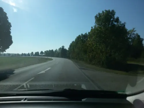



Parks, trails and playgrounds4



Restaurants and cafes9
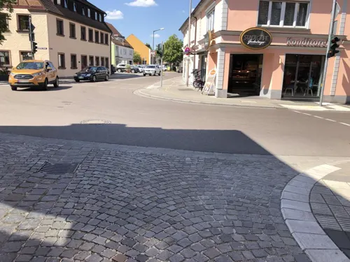
Gasthof Zur Sonne
Restaurant · Greek
2 Dinkelsbühler Straße, Wassertrüdingen
Mo-Su 10:00-14:30,17:00-22:30; Tu off

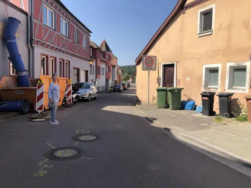
Pizzeria La Venezia
Restaurant · Italian
28 Marktstraße, Wassertrüdingen
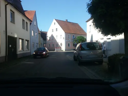
Weisses Ross
Restaurant · 0.6 km
42 Kapellgasse, Wassertrüdingen



Where to stay5
Churches and places of worship6
Heilige Dreieinigkeit
Church · Protestant
2 Kirchgasse, Wassertrüdingen
St. Johannis
Church · Lutheran
8 Lentersheimer Straße, Wassertrüdingen
St. Walburga
Church · Roman Catholic
26 Bahnhofstraße, Wassertrüdingen
Shopping7
Gas and EV charging4
Schools, colleges and libraries4
Healthcare2
Map of Wassertrüdingen
54 places. The map loads OpenStreetMap tiles when you open it.
Getting there and nearby towns
Illesheim Army Heliport (ILH) is the nearest airport with scheduled flights listed in OpenStreetMap, 50 km away.
- Gunzenhausen 14 km northeast, about 14 min by car
- Dinkelsbühl 21 km west, about 21 min by car
- Wemding 21 km southeast, about 21 min by car
- Nördlingen 23 km south, about 23 min by car
- Feuchtwangen 23 km northwest, about 23 min by car
- Treuchtlingen 25 km southeast, about 25 min by car
- Weißenburg in Bayern 27 km east, about 27 min by car
- Bopfingen 27 km southwest, about 27 min by car
- Windsbach 28 km northeast, about 28 min by car
- Ansbach 29 km north, about 29 min by car
Drive times are estimates from straight-line distance, not routes.
Local news
Headlines from INDB.
Reviews, tips and questions
Loading what members have shared...
Sources and licences
- GeoNames (CC BY 4.0): population, coordinates, regions and time zone
- Mapillary (see each image): photos
- OpenStreetMap contributors (ODbL 1.0): places, airports, map data
- Wikidata (CC0 1.0): elevation, founding date, time zone, website
- Wikimedia Commons (see each image): photos
- Wikipedia (CC BY-SA 4.0): overview and history text
Photo credits
- Bahnhof Wassertrüdingen2, http://de.wikipedia.org/wiki/Benutzer:mef.ellingen .mw-parser-output .ubx-floatdefault[dir="ltr"],.mw-parser-output .ubx-floatopposite[dir="rtl"],.mw-parser-output..., CC BY-SA 3.0
- Wassertrüdingen Poststraße 5, Padd y, CC BY-SA 4.0
- 2019 Oberes Tor (D-5-71-214-42) 02, Derzno, CC BY-SA 4.0
- Wassertrüdingen, Kirchgasse 2-001, Tilman2007, CC BY-SA 3.0
- Wassertrüdingen, Kirchgasse 4-001, Tilman2007, CC BY-SA 3.0
- 2019 Friedhof Kapelle (D-5-71-214-5) 01, Derzno, CC BY-SA 4.0
- Wassertrüdingen, Marktstraße 29-002, Tilman2007, CC BY-SA 3.0
- Wassertrüdingen, Sauergasse 1-001, Tilman2007, CC BY-SA 3.0
- Landesgartenschau 2019 in Wassertrüdingen 09, Derzno, CC BY-SA 4.0
- 2019 Sonnenuhrenpark 01, Derzno, CC BY-SA 4.0
- Landesgartenschau 2019 in Wassertrüdingen 04, Derzno, CC BY-SA 4.0
- 2019 Stadtmauer Oettinger Straße 42a (D-5-71-214-1) 01, Derzno, CC BY-SA 4.0
- Museum Wassertrüdingen, Stefan Karl, CC BY-SA 4.0
- Kirche Bahnhofstraße, Aarp65, CC BY-SA 3.0
- Schobdach St. Johannis 001, Tilman2007, CC BY-SA 3.0
- Wassertrüdingen, AN - Schobdach - Kirche v N, Flodur63, CC BY-SA 4.0
- D71 1135 DxO (14477620232), youkeys, CC BY 2.0
- D71 0977 DxO (14292097269), youkeys, CC BY 2.0
- D71 1133 DxO (14292448717), youkeys, CC BY 2.0
- D71 1020 DxO (14292349247), youkeys, CC BY 2.0
- D71 0979 DxO (14292290527), youkeys, CC BY 2.0
- D71 0976 DxO (14292282547), youkeys, CC BY 2.0
- D71 1013 DxO (14475406221), youkeys, CC BY 2.0
- D71 0998 DxO (14478756895), youkeys, CC BY 2.0
- D71 1106 DxO (14292238629), youkeys, CC BY 2.0
- D71 1117 DxO (14292258720), youkeys, CC BY 2.0
- D71 1151 DxO (14477713244), youkeys, CC BY 2.0
- D71 1017 DxO (14477504822), youkeys, CC BY 2.0
- D71 1005 DxO (14455673236), youkeys, CC BY 2.0
- D71 1171 DxO (14292293189), youkeys, CC BY 2.0
- D71 0997 DxO (14455656186), youkeys, CC BY 2.0
- D71 0974 DxO (14498857773), youkeys, CC BY 2.0
- D71 1196 DxO (14292505537), youkeys, CC BY 2.0
- D71 1102 DxO (14455766486), youkeys, CC BY 2.0
- D71 1122 DxO (14292307618), youkeys, CC BY 2.0
- D71 1088 DxO (14455753976), youkeys, CC BY 2.0
- D71 0990 DxO (14292119170), youkeys, CC BY 2.0
- D71 1212 DxO (14292356170), youkeys, CC BY 2.0
- D71 1032 DxO (14455708186), youkeys, CC BY 2.0
- D71 1104 DxO (14475496631), youkeys, CC BY 2.0
- Street-level photo, Blueshawk, CC BY-SA 4.0
- Street-level photo, Blueshawk, CC BY-SA 4.0
- Street-level photo, ottokar, CC BY-SA 4.0
- Street-level photo, msdess, CC BY-SA 4.0
- Street-level photo, ottokar, CC BY-SA 4.0
- Street-level photo, Blueshawk, CC BY-SA 4.0
- Street-level photo, ottokar, CC BY-SA 4.0
- Street-level photo, Blueshawk, CC BY-SA 4.0
- Street-level photo, ottokar, CC BY-SA 4.0
- Street-level photo, Blueshawk, CC BY-SA 4.0
- Street-level photo, Blueshawk, CC BY-SA 4.0
- Street-level photo, Blueshawk, CC BY-SA 4.0
- Street-level photo, ottokar, CC BY-SA 4.0
- Street-level photo, ottokar, CC BY-SA 4.0


Page built November 9, 2026. Spotted a mistake? Tell us or suggest a place.