


Why visit Aerzen
Townapedia lists 62 museums and landmarks, 49 parks and trails, 111 places to eat, 35 places to stay and 44 attractions in and around town.
Highlights include Kurtheater, Kronen-Lichtspiele, Konzerthaus and Museum im Schloss Bad Pyrmont.
Weather in Aerzen
Forecast from MET Norway (CC BY 4.0). Full forecast
About Aerzen
Aerzen (German pronunciation: [ˈɛʁtsn̩]) is a municipality in the Hamelin-Pyrmont district, in Lower Saxony, Germany. It is situated 10 kilometres (6 mi) southwest of Hamelin, and 7 kilometres (4 mi) north of Bad Pyrmont.
From the Wikipedia article Aerzen (this version), under CC BY-SA 4.0.
Things to do44



Bismarckturm Bad Pyrmont
Scenic view · 6.9 km
1 Am Bismarckturm, Bad Pyrmont
Fr 16:00-19:00; Sa,Su 11:00-19:00




32 more on the map.
Museums and landmarks62
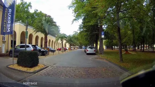


Schloss Hämelschenburg
Monument and historic site · 6.3 km
2 Schloßstraße, Emmerthal

Fischbeck Abbey
Museum · 10.6 km
Monastery in Fischbeck, Lower Saxony, Germany




50 more on the map.
Parks, trails and playgrounds49

Hecken- und Grünlandkomplex auf der Sonneborner Hochfläche und dem Knappberg
Hiking and trails · 7.7 km




Ohrbergpark
Park · 7.1 km
Großzügige Parkanlage mit wunderschönen Wanderwegen und Aussichtspunkten. Besonders zur Azaleen- und Rhododendronblüte einen Besuch wert!


37 more on the map.
Restaurants and cafes111
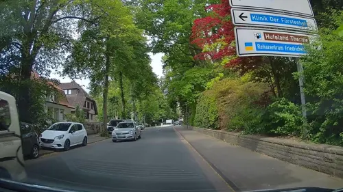
Restaurant Am Rathaus
Restaurant · 7.1 km
3 Brunnenstraße, Bad Pyrmont
Th-Tu 12:00-14:00, Th-Tu 17:00-21:00
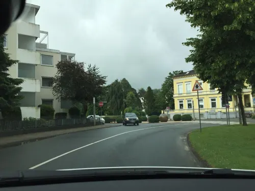
Alte Villa Schlossblick
Restaurant · 7.4 km
23 Kirchstraße, Bad Pyrmont
We-Sa 18:00-22:00; Su 12:00-14:30,18:00-21:30

Gasthof Schellental
Restaurant · Regional · 6.1 km
3 Am Schellenhof, Bad Pyrmont
Apr-Sep: Th-Sa 17:00-21:00; Apr-Sep: Su 12:00-21:00
Hotel-Restaurant Landluft
Restaurant · 3.5 km
7 Buschweg, Aerzen
Mo-We,Fr 17:00-21:00; Th off; Sa 15:00-21:00; Su 12:00-18:00
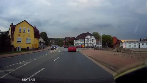
Panorama
Restaurant · Greek · 7.1 km
5 Heiligenangerstraße, Bad Pyrmont
Tu-Su 11:30-14:30,17:30-23:00, Mo 17:30-23:00
Restaurant Violett
Restaurant · Italian, Pizza, Pasta · 7.2 km
4 Kirchstraße
Mo, We-Fr 11:00-14:30, 17:00-23:00; Tu, Sa, Su 17:00-23:00
Tempo di Pizza
Restaurant · Italian, Pizza · 7.1 km
17 Kirchstraße, Bad Pyrmont
Tu-Fr 17:00-22:00; Sa 12:00-15:00,17:00-22:00; Su...
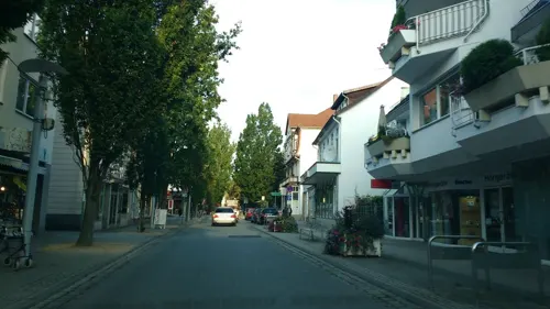
Wohnzimmer Café und Restaurant
Cafe · Italian · 7.2 km
21a Brunnenstraße, Bad Pyrmont
Tu-Su 09:00-15:00
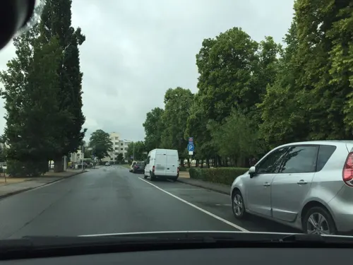
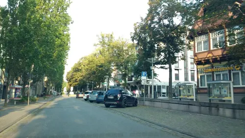
Café und Bäckerei Engel
Bakery · 7.2 km
29 Brunnenstraße, Bad Pyrmont
Mo-Fr 07:00-18:00; Sa 07:00-17:00; Su 07:30-17:00
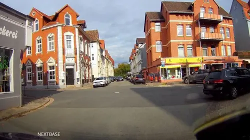


99 more on the map.
Where to stay35
Churches and places of worship24
Christuskirche
Church · Lutheran · 6.9 km
1 An der Stadtkirche, Bad Pyrmont
St. Georg
Church · Roman Catholic · 7.3 km
16 Bathildisstraße, Bad Pyrmont
St. Petri
Church · Lutheran · 7.1 km
2 An der Oesdorfer Kirche, Bad Pyrmont
Shopping28
Gas and EV charging12
Schools, colleges and libraries13
INN-tegrativ gGmbH, Berufsförderungswerk Bad Pyrmont
School · 8.0 km
43 Winzenbergstraße, Bad Pyrmont
Healthcare10
Map of Aerzen
250 places. The map loads OpenStreetMap tiles when you open it.
Getting there and nearby towns
Flugplatz Bielefeld (BFE) is the nearest airport with scheduled flights listed in OpenStreetMap, 50 km away.
- Salzhemmendorf 23 km east, about 23 min by car
- Obernkirchen 26 km north, about 26 min by car
- Bad Nenndorf 33 km north, about 33 min by car
- Rehburg-Loccum 47 km north, about 47 min by car
- Hannover 48 km northeast, about 48 min by car
- Hildesheim 49 km east, about 49 min by car
- Bielefeld 50 km west, about 50 min by car
- Paderborn 50 km southwest, about 50 min by car
- Bad Gandersheim 56 km east, about 56 min by car
- Bockenem 60 km east, about 1 h by car
Drive times are estimates from straight-line distance, not routes.
Local news
Headlines from INDB.
Reviews, tips and questions
Loading what members have shared...
Sources and licences
- GeoNames (CC BY 4.0): population, coordinates, regions and time zone
- Mapillary (see each image): photos
- OpenStreetMap contributors (ODbL 1.0): places, airports, map data
- Wikidata (CC0 1.0): elevation, founding date, time zone, website, landmarks and historic places
- Wikimedia Commons (see each image): photos
- Wikipedia (CC BY-SA 4.0): overview and history text
Photo credits
- Marienkirche in Aerzen IMG 2094, Losch, CC BY-SA 3.0 de
- Aerzen Bonifatius 4, Kirchenfan, CC0
- Schild am ehemaligen Bahnhof Aerzen, Gerd Fahrenhorst, CC BY 4.0
- Fachwerkbau von 1681 am Goldschlag 4 in Aerzen IMG 2088, Losch, CC BY-SA 3.0 de
- Schulzentrum in Aerzen IMG 2098, Losch, CC BY-SA 4.0
- Die Zwerge im Lüningsberg, Aerzen 3, Gerd Fahrenhorst, CC BY 4.0
- Gebäude am ehemaligen Bahnhof Aerzen, Gerd Fahrenhorst, CC BY 4.0
- Die Zwerge im Lüningsberg bei Aerzen IMG 2087, Losch, CC BY-SA 3.0 de
- Die Zwerge im Lüningsberg bei Aerzen IMG 2086, Losch, CC BY-SA 3.0 de
- Die Zwerge im Lüningsberg, Aerzen 2, Gerd Fahrenhorst, CC BY 4.0
- Die Zwerge im Lüningsberg, Aerzen 1, Gerd Fahrenhorst, CC BY 4.0
- 2023-03-19 140626 Burg Aerzen, Tim Rademacher, CC BY-SA 4.0
- Fachwerk von 1744 am Goldschlag in Aerzen IMG 2083, Losch, CC BY-SA 3.0 de
- 2023-03-19 141429 Aerzen Marienkirche, Tim Rademacher, CC BY-SA 4.0
- Burg Aerzen in Aerzen IMG 2111, Losch, CC BY-SA 3.0 de
- Burg Aerzen in Aerzen IMG 2108, Losch, CC BY-SA 3.0 de
- Burg Aerzen in Aerzen IMG 2100, Losch, CC BY-SA 3.0 de
- Burg Aerzen in Aerzen IMG 2095, Losch, CC BY-SA 3.0 de
- Burg Aerzen in Aerzen IMG 2107, Losch, CC BY-SA 3.0 de
- Burg Aerzen in Aerzen IMG 2097, Losch, CC BY-SA 3.0 de
- Burg Aerzen in Aerzen IMG 2110, Losch, CC BY-SA 3.0 de
- Rathaus in Aerzen IMG 2091, Losch, CC BY-SA 3.0 de
- Rathaus in Aerzen IMG 2090, Losch, CC BY-SA 3.0 de
- Rathaus in Aerzen IMG 2089, Losch, CC BY-SA 3.0 de
- Marienkirche in Aerzen IMG 2079, Losch, CC BY-SA 3.0 de
- Marienkirche in Aerzen IMG 2093, Losch, CC BY-SA 3.0 de
- Ortsblick Osterstraße in Aerzen IMG 2078, Losch, CC BY-SA 4.0
- Ortsblick Osterstraße in Aerzen IMG 2077, Losch, CC BY-SA 4.0
- Kriegerdenkmal vor der Kirche in Aerzen IMG 2081, Losch, CC BY-SA 3.0 de
- Gefallenen-Denkmal Aerzen 3, Gerd Fahrenhorst, CC BY 4.0
- Gefallenen-Denkmal Aerzen 2, Gerd Fahrenhorst, CC BY 4.0
- Gefallenen-Denkmal Aerzen 1, Gerd Fahrenhorst, CC BY 4.0
- Volksbank in Aerzen 2, Gerd Fahrenhorst, CC BY 4.0
- Volksbank in Aerzen 1, Gerd Fahrenhorst, CC BY 4.0
- Aerzen Bonifatius 1, Kirchenfan, CC0
- Aerzen Bonifatius 2, Kirchenfan, CC0
- Aerzen Bonifatius 3, Kirchenfan, CC0
- Aerzener Maschinenfabrik 4, Gerd Fahrenhorst, CC BY 4.0
- Aerzener Maschinenfabrik 3, Gerd Fahrenhorst, CC BY 4.0
- Aerzen Bonifatius Grundstein, Kirchenfan, CC0
- Hessisch Oldendorf - Stift Fischbeck, Franzfoto, CC BY-SA 3.0
- Schloss-Schwobber Gartenansicht 0193 a, Rüdiger at German Wikipedia, CC BY-SA 3.0
- Tierpark-pyrmont-teich, A.Savin, CC BY-SA 3.0
- Beberbach-Humme-Niederung, Joh0703, CC BY-SA 3.0
- Bad Pyrmont Hünenburg 06, Rabanus Flavus, CC0
- Emmer03, Nikater, Public domain
- Kirche-Sonneborn, Grugerio, CC BY-SA 3.0
- Schloss Hämelschenburg gesehen von der Einfahrt der ehemaligen Gutsanlagen II, Bernd Schwabe in Hannover, CC BY-SA 3.0
- Hohe Asch 01, Grugerio, CC0
- Klütturm mit Brunnenring, Axel Hindemith, CC BY-SA 3.0
- BadPyrmont-QH1 2008-10-31, MHM-com, CC BY-SA 3.0
- Aerial image of the Schloss Pyrmont, Carsten Steger, CC BY-SA 4.0
- Bad Pyrmont St Georg 04, Rabanus Flavus, CC0
- Klüt Klütturm und Weser Abends, Axel Hindemith, CC BY 3.0
- Bad Pyrmont Schauspielhaus 02, Rabanus Flavus, CC0
- Bad Pyrmont St Petri 03, Rabanus Flavus, CC0
- Bismarckturm Bad Pyrmont, Specializer, CC BY-SA 4.0
- Evangelisch-lutherische Stadtkirche, Thomas Fietzek, CC BY-SA 3.0
- Aerial image of the palm garden in Bad Pyrmont, Carsten Steger, CC BY-SA 4.0
- Schloss Pyrmont AB2012 06, Paulis, CC BY-SA 3.0
- Bad Pyrmont, Kriegerdenkmal 1897 02, Rabanus Flavus, CC0
- Barntrup - 2015-05-22 - LIP-005 Hecken- und Gruenlandkomplex auf der Sonnenborner Hochflaeche und dem Knappberg (26), Tsungam, CC BY-SA 3.0
- Extertal - 2015-08-01 - LIP-081 Heimbachtal (19), Tsungam, CC BY-SA 4.0
- Extertal - 2015-08-01 - LIP-050 Hummerbachtal (14), Tsungam, CC BY-SA 4.0
- Extertal - 2015-08-01 - LIP-080 Wettsteinsiek (05), Tsungam, CC BY-SA 4.0
- Schlosskirche St. Sankt Marien der Hämelschenburg, Bernd Schwabe in Hannover, CC BY-SA 3.0
- Ohrbergpark Baumgruppe Büsche, Axel Hindemith, CC BY 3.0
- Dunsthöhle 01, Rabanus Flavus, CC0
- Kurpark Bad Pyrmont - panoramio, qwesy qwesy, CC BY 3.0
- Street-level photo, derlipper, CC BY-SA 4.0
- Street-level photo, hendel, CC BY-SA 4.0
- Street-level photo, derlipper, CC BY-SA 4.0
- Street-level photo, thetornado76, CC BY-SA 4.0
- Street-level photo, derlipper, CC BY-SA 4.0
- Street-level photo, postgelb, CC BY-SA 4.0
- Street-level photo, derlipper, CC BY-SA 4.0
- Street-level photo, thetornado76, CC BY-SA 4.0
- Street-level photo, thetornado76, CC BY-SA 4.0
- Street-level photo, postgelb, CC BY-SA 4.0
- Street-level photo, derlipper, CC BY-SA 4.0
- Street-level photo, derlipper, CC BY-SA 4.0
- Street-level photo, derlipper, CC BY-SA 4.0
- Street-level photo, xanu, CC BY-SA 4.0
- Street-level photo, Langfahrer, CC BY-SA 4.0
- Street-level photo, derlipper, CC BY-SA 4.0
- Street-level photo, postgelb, CC BY-SA 4.0
- Street-level photo, postgelb, CC BY-SA 4.0
- Street-level photo, derlipper, CC BY-SA 4.0
- Street-level photo, Langfahrer, CC BY-SA 4.0


Page built November 8, 2026. Spotted a mistake? Tell us or suggest a place.