


Why visit Wilhermsdorf
Townapedia lists 8 museums and landmarks, 9 parks and trails, 25 places to eat, 5 places to stay and 4 attractions in and around town.
Highlights include Skigebiet / Rodelgebiet Laubendorf, Heubuck and Museum Geschichte und Handwerk.
Weather in Wilhermsdorf
Forecast from MET Norway (CC BY 4.0). Full forecast
About Wilhermsdorf
Wilhermsdorf (German pronunciation: [ˈvɪlhɛʁmsˌdɔʁf]) is a municipality in the district of Fürth in Bavaria in Germany. As of 2020 it has a population of 5,479. It is twinned with Feld am See in Austria and Jahnsdorf, also in Germany.
From the Wikipedia article Wilhermsdorf (this version), under CC BY-SA 4.0.
Things to do4


Museums and landmarks8

Parks, trails and playgrounds9


Restaurants and cafes25

zur Post
Restaurant · Greek
32 Hauptstraße, Wilhermsdorf
We-Sa 17:00-22:00; Su,PH 11:00-14:00,17:00-21:30; Mo,Tu off
Keidenzeller Hof
Restaurant · German · 4.8 km
11 Fürther Straße, Langenzenn
Dec-Mar: Th-Fr 18:00+; Sa-Su 12:00-14:00, 18:00+

Landgasthof zum Brauhaus
Restaurant · American, German
4 Ansbacher Straße, Wilhermsdorf
Mo-Sa 17:00-22:00; Su,PH 11:00-14:00,17:00-21:00; Tu off
Pizzeria Capri
Restaurant · Italian, Pizza
1 Bahnhofstraße, Wilhermsdorf
Tu-Sa 11:00-14:00,17:00-22:30; Su 11:00-14:00,17:00-21:30
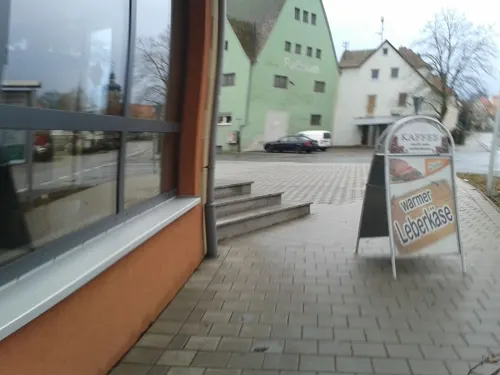
Pizzeria Majorka
Restaurant · Italian · 4.7 km
41 Hauptstraße, Markt Erlbach
We-Su 11:00-14:00,17:00-23:00; Tu 17:00-23:00

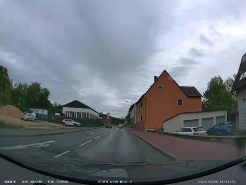


13 more on the map.
Where to stay5
Churches and places of worship11
Shopping6
Gas and EV charging6
Schools, colleges and libraries4
Healthcare6
Map of Wilhermsdorf
84 places. The map loads OpenStreetMap tiles when you open it.
Getting there and nearby towns
Illesheim Army Heliport (ILH) is the nearest airport with scheduled flights listed in OpenStreetMap, 24 km away.
- Langenzenn 6 km east, about 6 min by car
- Cadolzburg 10 km east, about 10 min by car
- Neustadt an der Aisch 13 km northwest, about 13 min by car
- Herzogenaurach 15 km northeast, about 15 min by car
- Roßtal 16 km southeast, about 16 min by car
- Zirndorf 18 km east, about 18 min by car
- Fürth 20 km east, about 20 min by car
- Oberasbach 19 km east, about 19 min by car
- Ansbach 22 km southwest, about 22 min by car
- Nuremberg 26 km east, about 26 min by car
Drive times are estimates from straight-line distance, not routes.
Local news
Headlines from INDB.
Reviews, tips and questions
Loading what members have shared...
Sources and licences
- GeoNames (CC BY 4.0): population, coordinates, regions and time zone
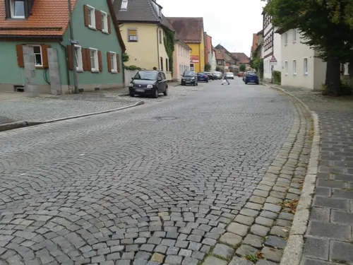
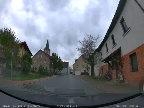
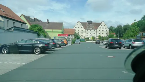
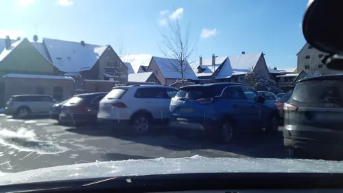
- Mapillary (see each image): photos
- OpenStreetMap contributors (ODbL 1.0): places, airports, map data
- Wikidata (CC0 1.0): elevation, founding date, time zone, website
- Wikimedia Commons (see each image): photos
- Wikipedia (CC BY-SA 4.0): overview and history text
Photo credits
- Kath.Kirche in Wilhermsdorf, WMguegafue, CC BY-SA 4.0
- St. Martin und Maria Wilhermsdorf, Aarp65, CC BY-SA 3.0
- CVW-Privatbank Wilhermsdorf, PKautz, CC BY-SA 3.0
- Die Denzelmühle in Wilhermsdorf, WMguegafue, CC BY-SA 4.0
- D-5-73-133-17-Wilhermsdorf-Hubstraße-1, Günter Fremuth, CC BY-SA 3.0
- Mühle in Wilhermsdorf, WMguegafue, CC BY-SA 4.0
- Kneipp-Anlage Wilhermsdorf - panoramio, Siegmar S., CC BY-SA 3.0
- FÜWilhermsdorf02, Ammerseer, CC BY-SA 3.0
- Laubendorf Lagenzenn 07, Aarp65, CC BY-SA 3.0
- St.Kilian-Dürrnbuch-2, WMguegafue, CC BY-SA 4.0
- Kirche Neidhardswinden-1, WMguegafue, CC BY-SA 4.0
- St.Kilian 01, Wolfgang Sauber, CC BY-SA 3.0
- Wilhermsdorf, Hauptstraße 32, 001, Tilman2007, CC BY-SA 3.0
- Wilhelmsdorf Spitalkirche 001, Tilman2007, CC BY 3.0
- Kirchfarrnbach St. Peter und Paul 001, Tilman2007, CC BY 3.0
- Iglesia de San Kilian, Markt Erlbach, Alemania, 2025-10-04, DD 08, Diego Delso, CC BY-SA 4.0
- Wilhermsdorf - Kirche St. Martin und Maria mit Turm und Ritterhaus, Technokrat, CC BY-SA 2.0 de
- 20170106 Harry Scheuenstuhl, SPD Wilhermsdorf, CC BY-SA 4.0
- Milchhaus Unterulsenbach - panoramio, Siegmar S., CC BY-SA 3.0
- Street-level photo, swalther, CC BY-SA 4.0
- Street-level photo, soulcover, CC BY-SA 4.0
- Street-level photo, swalther, CC BY-SA 4.0
- Street-level photo, bernd_niemann, CC BY-SA 4.0
- Street-level photo, bernd_niemann, CC BY-SA 4.0
- Street-level photo, swalther, CC BY-SA 4.0
- Street-level photo, bernd_niemann, CC BY-SA 4.0
- Street-level photo, soulcover, CC BY-SA 4.0
- Street-level photo, swalther, CC BY-SA 4.0
- Street-level photo, bernd_niemann, CC BY-SA 4.0
- Street-level photo, swalther, CC BY-SA 4.0
- Street-level photo, bernd_niemann, CC BY-SA 4.0
- Street-level photo, soulcover, CC BY-SA 4.0
- Street-level photo, swalther, CC BY-SA 4.0
- Street-level photo, swalther, CC BY-SA 4.0
- Street-level photo, renade, CC BY-SA 4.0


Page built November 9, 2026. Spotted a mistake? Tell us or suggest a place.