


Wörrstadt, Germany
Verbandsgemeinde Wörrstadt
Wörrstadt is a town of 7,668 people in Rheinland-Pfalz, Germany.
Why visit Wörrstadt
Townapedia lists 17 museums and landmarks, 3 parks and trails, 36 places to eat, 4 places to stay and 1 attraction in and around town.
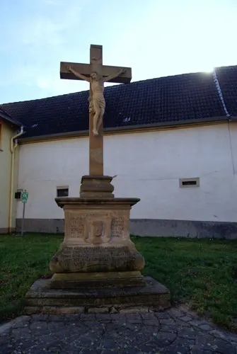
Highlights include Tagelöhnerhaus and Sühnekreuz.
Weather in Wörrstadt
Forecast from MET Norway (CC BY 4.0). Full forecast
About Wörrstadt
Wörrstadt is a Verbandsgemeinde ("collective municipality") in the district Alzey-Worms, Rhineland-Palatinate, Germany. The seat of the Verbandsgemeinde is in Wörrstadt.
From the Wikipedia article Wörrstadt (Verbandsgemeinde) (this version), under CC BY-SA 4.0.
Things to do1

Museums and landmarks17

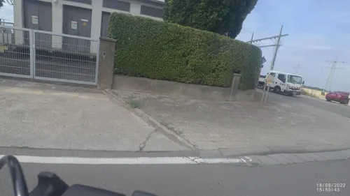
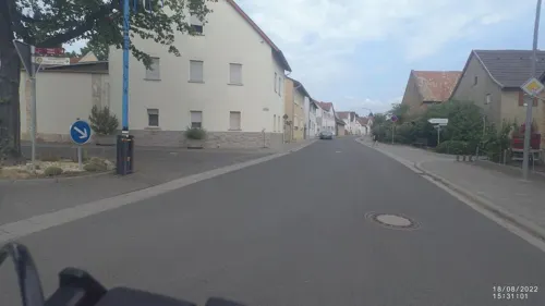


Schillerdenkmal
Monument and historic site · 1.3 km
De:Pyramide mit Bildnistondo, bezeichnet 1905



5 more on the map.
Parks, trails and playgrounds3


Restaurants and cafes36
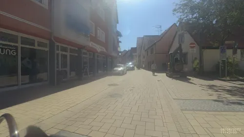
Beef & Wine
Restaurant · Fine Dining, German, Mediterranean · 1.3 km
26 Friedrich-Ebert-Straße, Wörrstadt
Mo,Th,Fr,Sa 17:30-23:00; Su 11:30-14:30,17:30-23:00; Tu,We off
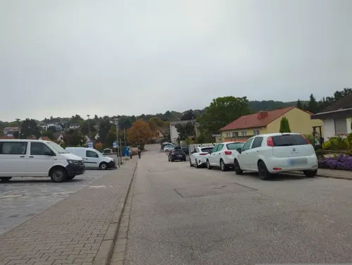
Hattaya Original Thai-Küche
Restaurant · Thai
10 Gutenbergstraße
We,Th 11:00-20:00; Fr,Sa 16:00-21:00; Su 12:00-20:00

Mare Nero
Restaurant · Pizza · 1.3 km
2 Obere Schulstraße, Wörrstadt
Mo off; Tu,Th,Fr 11:30-14:30,17:30-22:30; We,Sa,Su 17:30-22:30
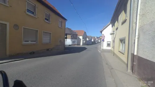
Pizzeria Ciao „Zum goldenen Adler“
Restaurant · Italian · 2.0 km
1 Rathausplatz, Saulheim
Mo-Sa 17:30-23:30; Tu off; Su 11:30-14:30,17:30-23:30
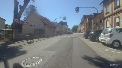
Restaurant Evia
Restaurant · Greek · 2.3 km
17 Hauptstraße, Sulzheim
Mo 11:30-14:30, 17:00-23:00; We-Fr 11:30-14:30, 17:00-23:00; Sa...
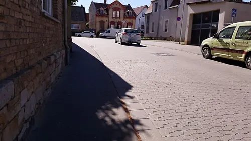
Weingut und Gästehaus Mussel
Brewery and winery · 1.4 km
40 Rommersheimer Straße, Wörrstadt
Tu-Fr 09:00-13:00, 16:00-18:00; Sa 09:00-16:00

Schloßgartenhof - Weingut & Vinothek
Brewery and winery · 2.0 km
9 Untergasse, Saulheim
Tu 10:00-12:00,16:00-18:00; Fr 10:00-18:00; Apr-Dec Sa...
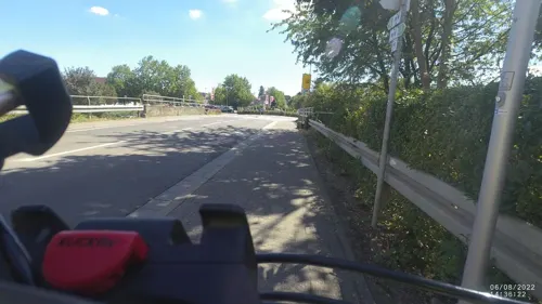
Weingut Dorst
Brewery and winery · 1.0 km
96 Friedrich-Ebert-Straße, Wörrstadt
Mo-Fr 10:00-18:00; Sa 09:00-16:00
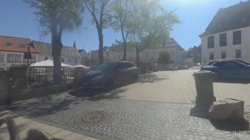
Eis Café CO-COO
Cafe · Ice Cream · 1.3 km
1 Neunröhrenplatz, Wörrstadt
Mo-Su 11:00-21:00
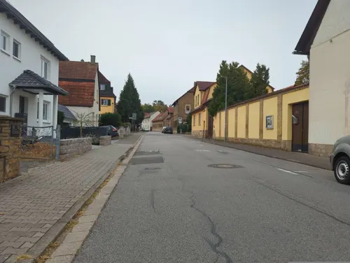
Ristorante Calabria
Restaurant · Italian · 0.9 km
58 Hermannstraße, Wörrstadt
Tu-Su 11:30-14:30,17:30-23:30
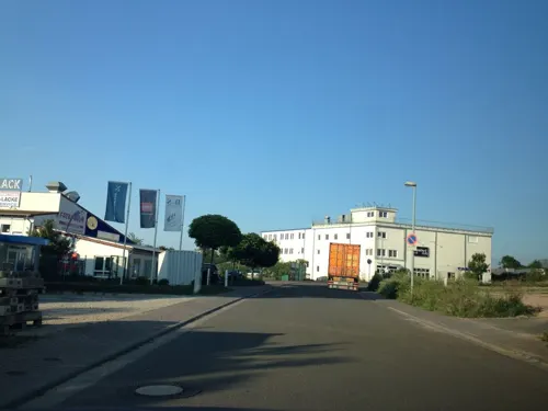


24 more on the map.
Where to stay4
Churches and places of worship6
Katholische Pfarrkirche St. Philipp und Jakob
Church · Catholic · 2.2 km
3 Kirchplatz, Sulzheim
Shopping10
Gas and EV charging7
Knauber Gas LNG-Tankstelle Wörrstadt
Gas station · 1.6 km
4 Sophie-Opel-Straße, Wörrstadt
Schools, colleges and libraries7
Katholische Öffentliche Bücherei St. Philippus und Jakobus Sulzheim
Library · 2.3 km
2 Pfarrgasse, Sulzheim
Healthcare3
Map of Wörrstadt
94 places. The map loads OpenStreetMap tiles when you open it.
Getting there and nearby towns
Wiesbaden Army Airfield (WIE) is the nearest airport with scheduled flights listed in OpenStreetMap, 27 km away.
- Alzey 11 km south, about 11 min by car
- Ingelheim am Rhein 14 km north, about 14 min by car
- Bad Kreuznach 18 km west, about 18 min by car
- Mainz 19 km northeast, about 19 min by car
- Geisenheim 19 km northwest, about 19 min by car
- Bingen am Rhein 21 km northwest, about 21 min by car
- Ginsheim-Gustavsburg 21 km northeast, about 21 min by car
- Rüdesheim am Rhein 20 km northwest, about 20 min by car
- Walluf 21 km north, about 21 min by car
- Trebur 22 km northeast, about 22 min by car
Drive times are estimates from straight-line distance, not routes.
Local news
Headlines from INDB.
Reviews, tips and questions
Loading what members have shared...
Sources and licences
- GeoNames (CC BY 4.0): population, coordinates, regions and time zone
- Mapillary (see each image): photos
- OpenStreetMap contributors (ODbL 1.0): places, airports, map data
- Wikidata (CC0 1.0): elevation, founding date, time zone, website
- Wikimedia Commons (see each image): photos
- Wikipedia (CC BY-SA 4.0): overview and history text
Photo credits
- Partenheim Rathaus 20100910, Rudolf Stricker, Attribution
- Wörrstadt - Einfahrt verboten, Lieferverkehr frei, ManuelB701, CC0
- Wörrstadt - Bushalt Carl-Benz-Straße, ehemalig Gewerbegebiet, ManuelB701, CC0
- Bushalt Wörrstadt, Bahnhof, ManuelB701, CC0
- Wörrstadt - Hermannstraße, Wegweiser für Weingut und Hiwweltour Neuborn, ManuelB701, CC0
- Bahnhof Wörrstadt, Bahnhofsgebäude (Bahnsteigseite), ManuelB701, CC0
- KRN-Sprinter in Wörrstadt, ManuelB701, CC0
- Wörrstadt - Kreuzen von RE13-Zügen, ManuelB701, CC BY 3.0
- Wörrstadt - Krähe an einer Baumspitze, ManuelB701, CC0
- Wörrstadt - Ortsgraben, Eingang Neutor, ManuelB701, CC0
- Wörrstadt - Ende der Baustelle Friedrich-Ebert-Straße, ManuelB701, CC0
- Wörrstadt - Kreisel der Friedrich-Ebert-Straße, ManuelB701, CC0
- Wörrstadt - Zebrastreifen an der Friedrich-Ebert-Straße, ManuelB701, CC0
- Wörrstadt - Baustelle Friedrich-Ebert-Straße, Abzweig Adam-Elsheimer-Straße, ManuelB701, CC0
- Wörrstadt - Verwitterte Schild an der Stelzerstraße, ManuelB701, CC0
- Wörrstadt - Baustelle Friedrich-Ebert-Straße, Stand September 2025, ManuelB701, CC0
- Wörrstadt - Baustelle Friedrich-Ebert-Straße, Stellplätze im Bau, ManuelB701, CC0
- Wörrstadt - Ladesäule an der Friedrich-Ebert-Straße, ManuelB701, CC0
- Wörrstadt - Baustelle Schlagstraße, ManuelB701, CC0
- Wörrstadt - Ameisen an Eichen, ManuelB701, CC0
- Wörrstadt - Blatt einer Stieleiche, ManuelB701, CC0
- Wörrstadt - Bücheroase, Buchladen an der Friedrich-Ebert-Straße, ManuelB701, CC0
- Wörrstadt - Bushalt Zum Oberfeld, ManuelB701, CC0
- Wörrstadt - Bäume an der Schornsheimer Chaussee, ManuelB701, CC0
- Wörrstadt - Bushalt Schornsheimer Chaussee (West), ManuelB701, CC0
- Wörrstadt - Bau des KRN-Betriebshofes, ManuelB701, CC0
- Wörrstadt Stolperstein Friedrich-Ebert-Straße 64 Ernst Nathan Morreau, Alfons Tewes, CC BY 4.0
- Wörrstadt, Bushalt Friedrich-Ebert-Straße (Nord), ManuelB701, CC0
- Wörrstadt Wohnhauslage Friedrich-Ebert-Straße 64, Alfons Tewes, CC BY 4.0
- Laurentiuskirche Wörrstadt, Joho345, CC BY-SA 3.0
- Tagel-haus-strassenseite-neu-620x450, Kulturkreis Wörrstadt e. V.., CC BY-SA 3.0 de
- Evangelische Pfarrkirche Ober-Saulheim, Nixnubix, CC BY-SA 4.0
- St Philipp Jakob@Sulzheim Rhh, Nneuni, CC BY-SA 4.0
- Wörrstadt – kath. Kirche - panoramio (1), giggel, CC BY 3.0
- 01 Neunröhrenbrunnen, Walnussbäumchen, CC BY-SA 4.0
- Langer Stein - 2, Nixnubix, CC BY-SA 4.0
- 55286-Gabsheimer-Weg-Schillerdenkmal, Astloch, CC BY-SA 4.0
- Sulzheim (Rhh) Philippus+Jakobus Bildstock 2 DSC9998, Nneuni, CC BY 4.0
- Sulzheim (Rhh) Philippus+Jakobus Bildstock 1 DSC0001, Nneuni, CC BY 4.0
- Sulzheim (Rhh) Philippus+Jakobus Bildstock 5 DSC9995, Nneuni, CC BY 4.0
- Sulzheim (Rhh) Philippus+Jakobus Bildstock 3 DSC9997, Nneuni, CC BY 4.0
- Sulzheim (Rhh) Philippus+Jakobus Bildstock 4 DSC9996, Nneuni, CC BY 4.0
- 55286-Pariser-Str-48-Ev-K, Astloch, CC BY-SA 4.0
- 55286-Pariser-Str-42-Kath-K, Astloch, CC BY-SA 4.0
- TotalEnergies Wörrstadt, Emilius123, CC BY-SA 4.0
- Allego Autohof Wörrstadt, Emilius123, CC BY-SA 4.0
- Street-level photo, miguel_andrade, CC BY-SA 4.0
- Street-level photo, VIA_CH, CC BY-SA 4.0
- Street-level photo, b166er, CC BY-SA 4.0
- Street-level photo, Felix23, CC BY-SA 4.0
- Street-level photo, VIA_CH, CC BY-SA 4.0
- Street-level photo, 9ix, CC BY-SA 4.0
- Street-level photo, VIA_CH, CC BY-SA 4.0
- Street-level photo, jurgenweighardt, CC BY-SA 4.0
- Street-level photo, jurgenweighardt, CC BY-SA 4.0
- Street-level photo, VIA_CH, CC BY-SA 4.0
- Street-level photo, VIA_CH, CC BY-SA 4.0
- Street-level photo, miguel_andrade, CC BY-SA 4.0
- Street-level photo, miguel_andrade, CC BY-SA 4.0
- Street-level photo, mazdermind, CC BY-SA 4.0
- Street-level photo, amtxi, CC BY-SA 4.0
- Street-level photo, VIA_CH, CC BY-SA 4.0
- Street-level photo, miguel_andrade, CC BY-SA 4.0
- Street-level photo, miguel_andrade, CC BY-SA 4.0
- Street-level photo, miguel_andrade, CC BY-SA 4.0
- Street-level photo, VIA_CH, CC BY-SA 4.0
- Street-level photo, ValhallaUser, CC BY-SA 4.0
- Street-level photo, mazdermind, CC BY-SA 4.0
- Street-level photo, miguel_andrade, CC BY-SA 4.0
- Street-level photo, b166er, CC BY-SA 4.0
- Street-level photo, miguel_andrade, CC BY-SA 4.0
- Street-level photo, miguel_andrade, CC BY-SA 4.0
- Street-level photo, miguel_andrade, CC BY-SA 4.0
- Street-level photo, ValhallaUser, CC BY-SA 4.0
- Street-level photo, mazdermind, CC BY-SA 4.0
- Street-level photo, VIA_CH, CC BY-SA 4.0
- Street-level photo, miguel_andrade, CC BY-SA 4.0
- Street-level photo, amtxi, CC BY-SA 4.0
- Street-level photo, VIA_CH, CC BY-SA 4.0


Page built November 9, 2026. Spotted a mistake? Tell us or suggest a place.