


Why visit Walluf
Townapedia lists 25 museums and landmarks, 26 parks and trails, 92 places to eat, 14 places to stay and 4 attractions in and around town.
Highlights include Schierstein Bridge, Große Hub, Kurfürstliche Burg Eltville and Sülzturm.
Weather in Walluf
Forecast from MET Norway (CC BY 4.0). Full forecast
About Walluf
Walluf is a municipality in the Rheingau-Taunus-Kreis in the Regierungsbezirk of Darmstadt in Hesse, Germany. With 5,581 residents in its 6.74 square kilometer area, it is the most densely populated community in the Rheingau-Taunus-Kreis.
From the Wikipedia article Walluf (this version), under CC BY-SA 4.0.
Things to do4



Museums and landmarks25

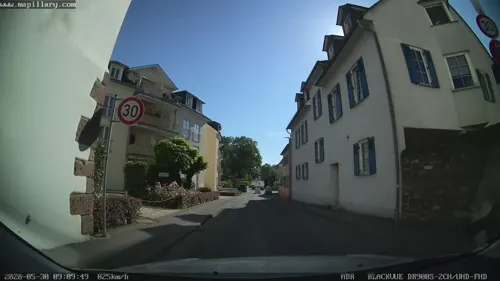
Sülzturm
Monument and historic site · 2.8 km
Turm des ehemaligen Sülztores innerhalb der Stadtbefestigung
60 Rheingauer Straße, Eltville am Rhein


Goethe stone
Monument and historic site · 2.5 km
Ein auf der Grundfläche eines gleichseitigen Dreiecks aus Quadern errichteter Tetraeder, dessen hochaufragende Spitze an einen Obelisk erinnert.


Kettenbornpalais
Monument and historic site · 2.8 km
5b Zehntenhofstraße, Wiesbaden



Burgturm Frauenstein
Monument and historic site · 2.8 km
1 Adolf-Lupp-Platz, Wiesbaden
Su 15:00-17:00
Schiersteiner Heimatmuseum
Museum · 2.8 km
6 Zehntenhofstraße, Wiesbaden
Su 10:30-12:30
13 more on the map.
Parks, trails and playgrounds26


Mainzer Sand
Park · 4.6 km
Nature reserve in Rheinland-Pfalz, Germany
Schlosspark Biebrich
Park · 5.6 km
Park and national heritage site in WIesbaden, Germany


Rudergesellschaft Wiesbaden-Biebrich 1888
Marina and boat launch · 2.5 km
Wassersport Verein Schierstein 1921
Marina and boat launch · 2.7 km
Yachthafen Schwimmclub Wiesbaden 1911 e.V.
Marina and boat launch · 2.5 km
14 more on the map.
Restaurants and cafes92


Weinstube Gelbes Haus
Restaurant · German · 2.8 km
3 Burgstraße, Eltville am Rhein
May-Sep 12:00+; May-Sep Sa,Su,PH 11:30+; Oct-Apr Tu-Sa 17:00+;...
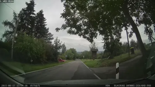
Knopp's Alm
Bar and pub · Regional · 2.4 km
Küche nur von 16:00-22:00 Uhr.
30 Georgenborner Straße, Wiesbaden
Tu-Su 15:00-23:00
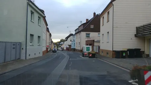
Schneiders Weinschlösschen
Restaurant · Regional, German · 2.4 km
Gutsausschank
13 Quellbornstraße, Wiesbaden
Mo,Th-Sa 14:30-23:00; Su 12:00-22:00

Weinhaus Klepper
Bar and pub · Regional · 2.7 km
Gutbürgerliche Küche und hausgemachte Wurst, Schlachtfeste, separate Weinprobierstube
12-16 Georgstraße, Wiesbaden
Mo-Sa 15:00+; Su 12:00+
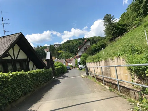
Weinhaus Sinz
Restaurant · German · 2.5 km
Durchgehend warme Küche Tu-Sa 11:30-21:30; Su 11:30-14:00. Terasse.
17-19 Herrnbergstraße, Wiesbaden
Tu-Sa 11:00-24:00; Su 11:00-15:00

Yachtcafé
Restaurant · International · 2.7 km
1 Unterm Hafen, Wiesbaden
12:00-22:00; Su 10:00-22:00; Nov-Apr: 12:00-19:00; Su 10:00-19:00; Mo off
Agathes Gute Küche
Restaurant · Regional · 0.7 km
32 Hauptstraße, Walluf
Mo-Tu off; We-Sa 16:30-21:30; Su,PH 12:00-21:30
Alexis
Restaurant · Greek · 2.9 km
3 Taunusstraße, Eltville am Rhein
17:00+; We off; Su,PH 11:30-14:30,17:00+
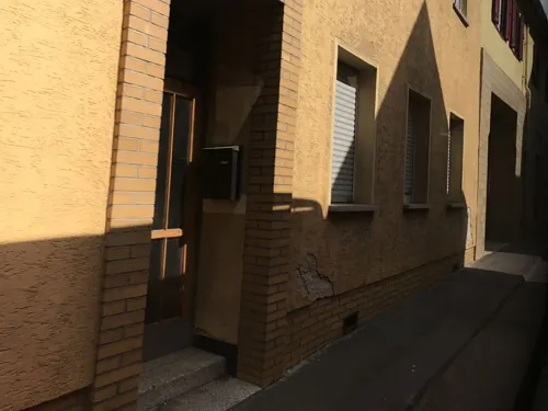
Annas Cuisine
Restaurant · Buschenschank · 2.8 km
11 Lehrstraße, Eltville am Rhein
Mo,Th-Fr 17:00-21:00; Su,PH 12:00-20:30
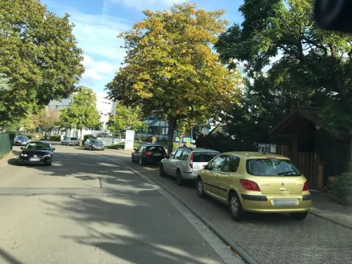
Baumstammhaus
Restaurant · Regional · 0.6 km
2a Am Klingenweg, Walluf
Tu-Sa 17:00-24:00; Su 12:00-23:00; Mo off
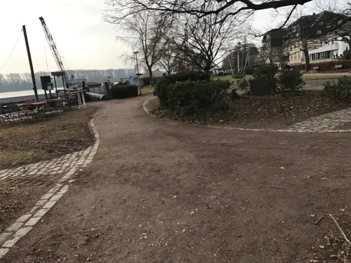


80 more on the map.
History
In 1932, in the immediate vicinity of the so-called Johannisfeld below the ruins of St Johns Church (Johanniskirche), the remains of a characteristic Ottonian tower castle were excavated. The investigations also revealed traces of Celtic, Roman, and Carolingian settlements as well as a royal palace (Pfalz). Pottery fragments attest to settlement as early as the La Tène period (from around 400 BC).
Walluf was first mentioned in writing in 770 under the name Waltaffa. Viticulture has been practiced there since that time, making Walluf the oldest wine-growing community in the Rheingau. In this earliest surviving documentary reference, it is not clearly established whether the later Niederwalluf or Oberwalluf is meant; the designation Nidenwaldoff does not appear until 1304.
The first mention of a church or chapel dates from the time of the Archbishop of Mainz, Willigis (975–1011). The original St John's Church was built around the year 1000 but today survives only as a ruin. It is possible that a church or baptistery already existed at this site in 744, as tradition names the location as the place of baptism of the later Benedictine monk Gerhardus, who received the name “Fidelis” at his baptism. St John's Church remained the parish church of Walluf until 1719.
From the History section of Walluf on Wikipedia, under CC BY-SA 4.0.
Where to stay14
Churches and places of worship19
St. Sebastianus und Laurentius
Church · Catholic · 2.9 km
25 Kirchstraße, Eltville am Rhein
Shopping13
Gas and EV charging3
Schools, colleges and libraries7
Healthcare3
Map of Walluf
206 places. The map loads OpenStreetMap tiles when you open it.
Getting there and nearby towns
Wiesbaden Army Airfield (WIE) is the nearest airport with scheduled flights listed in OpenStreetMap, 12 km away.
- Frauenstein 3 km north, about 3 min by car
- Klarenthal 6 km northeast, about 6 min by car
- Schlangenbad 7 km northwest, about 7 min by car
- Wiesbaden 8 km northeast, about 8 min by car
- Ingelheim am Rhein 10 km southwest, about 10 min by car
- Sonnenberg 10 km northeast, about 10 min by car
- Mainz 11 km southeast, about 11 min by car
- Taunusstein 12 km north, about 12 min by car
- Bad Schwalbach 13 km northwest, about 13 min by car
- Kloppenheim 12 km northeast, about 12 min by car
Drive times are estimates from straight-line distance, not routes.
Local news
Headlines from INDB.
Reviews, tips and questions
Loading what members have shared...
Sources and licences
- GeoNames (CC BY 4.0): population, coordinates, regions and time zone
- Mapillary (see each image): photos
- OpenStreetMap contributors (ODbL 1.0): places, airports, map data
- Wikidata (CC0 1.0): elevation, founding date, time zone, website, landmarks and historic places
- Wikimedia Commons (see each image): photos
- Wikipedia (CC BY-SA 4.0): overview and history text
Photo credits
- Niederwalluf Ortszentrum, Schwege at German Wikipedia, Public domain
- Wiesbaden Schiersteiner Brücke 2013-08 Gesamt 2, Oliver Abels ( SBT ), CC BY-SA 3.0
- Mainzer Sand (5 von 21), Cicero.sunday, CC BY-SA 4.0
- Luftbild Wiesbaden Schlosspark mit Schloss Biebrich, Wolfgang Pehlemann, Wiesbaden, Germany ( Wolfgang Pehlemann at de.wikipedia ), CC BY-SA 3.0 de
- Herz-Jesu Mombach, Symposiarch, CC BY-SA 3.0
- Wiesbaden - Mariae Heimsuchung, Oliver Abels ( SBT ), CC BY 2.5
- Schierstein - Christophoruskirche, Oliver Abels ( SBT ), CC BY 2.5
- Wiesbaden burgruine frauenstein 1, No machine-readable author provided. Toddy assumed (based on copyright claims)., Public domain
- Burg Crass 2, Xavax at German Wikipedia ( Original text: Schwege ), Public domain
- Kurfuerstliche Burg Eltville, Arcalino, CC BY-SA 3.0
- Wiesbaden Goethestein 1, Joschi71, CC BY-SA 4.0
- Ruine Johanniskirche, Schwege at German Wikipedia, Public domain
- Martinsthal Alte Kirche St. Sebastian und Laurentius, Oliver Abels ( SBT ), CC BY-SA 3.0
- Walluf Rhein 05, J.-H. Janßen, CC BY-SA 3.0
- Wiesbaden Frauenstein Nürnberger Hof, Oliver Abels ( SBT ), CC BY-SA 3.0
- Schierstein Kettenbornpalais, Oliver Abels ( SBT ), CC BY-SA 3.0
- Hauptverwaltung SGL Carbon, SGL Carbon, CC BY-SA 4.0
- Martinsthal Rödchen-Kapelle 2, Oliver Abels ( SBT ), CC BY-SA 3.0
- Eltville Weinstube Gelbes Haus Burgstrasse 3 01, J.-H. Janßen, CC BY-SA 3.0
- Budenheim Evangelische Kirche 20100730, Rudolf Stricker, Attribution
- Budenheim alte St. Pankratius 20100730, Rudolf Stricker, Attribution
- Gedenkstaette Synagoge Wiesbaden-Schierstein (01), Marion Halft, CC BY-SA 4.0
- HerbWuest - 02.Haderaue-Königsklinger Aue, Rheinland-Pfalz, HerbWuest, CC BY-SA 4.0
- Kurfürstliche Burg, Eltville, Southwest view 20150225 1, DXR, CC BY-SA 4.0
- Niederwallufer Bucht Rhein 2, Peter Müller-Lüdenscheidt aus Walluf, CC BY-SA 4.0
- Rhine west of Wiesbaden, seen from the Dyckerhoff-Brücke over the Schiersteiner Hafen. - panoramio, Maarten Sepp, CC BY-SA 3.0
- Street-level photo, miguel_andrade, CC BY-SA 4.0
- Street-level photo, mapcreator, CC BY-SA 4.0
- Street-level photo, kreuzschnabel, CC BY-SA 4.0
- Street-level photo, miguel_andrade, CC BY-SA 4.0
- Street-level photo, mapcreator, CC BY-SA 4.0
- Street-level photo, marpa, CC BY-SA 4.0
- Street-level photo, jurgenweighardt, CC BY-SA 4.0
- Street-level photo, bumi76, CC BY-SA 4.0
- Street-level photo, jurgenweighardt, CC BY-SA 4.0
- Street-level photo, changchun1, CC BY-SA 4.0
- Street-level photo, jurgenweighardt, CC BY-SA 4.0
- Street-level photo, miguel_andrade, CC BY-SA 4.0
- Street-level photo, mfa, CC BY-SA 4.0
- Street-level photo, miguel_andrade, CC BY-SA 4.0
- Street-level photo, miguel_andrade, CC BY-SA 4.0
- Street-level photo, mapcreator, CC BY-SA 4.0
- Street-level photo, mapcreator, CC BY-SA 4.0
- Street-level photo, miguel_andrade, CC BY-SA 4.0
- Street-level photo, miguel_andrade, CC BY-SA 4.0
- Street-level photo, miguel_andrade, CC BY-SA 4.0
- Street-level photo, miguel_andrade, CC BY-SA 4.0
- Street-level photo, miguel_andrade, CC BY-SA 4.0
- Street-level photo, miguel_andrade, CC BY-SA 4.0
- Street-level photo, mapcreator, CC BY-SA 4.0
- Street-level photo, miguel_andrade, CC BY-SA 4.0
- Street-level photo, miguel_andrade, CC BY-SA 4.0
- Street-level photo, miguel_andrade, CC BY-SA 4.0
- Street-level photo, miguel_andrade, CC BY-SA 4.0
- Street-level photo, mapcreator, CC BY-SA 4.0


Page built November 9, 2026. Spotted a mistake? Tell us or suggest a place.