


Why visit Zetel
Townapedia lists 28 museums and landmarks, 28 parks and trails, 54 places to eat, 9 places to stay and 5 attractions in and around town.
Highlights include Mühle Erks, Rutteler Mühle, Erinnerungsort ehemalige Synagoge in Neustadtgödens and Neuenburger Holz.
Weather in Zetel
Forecast from MET Norway (CC BY 4.0). Full forecast
About Zetel
Zetel (German pronunciation: [ˈtseːtl̩]) is a municipality in the district of Friesland, Lower Saxony, Germany. It is situated approximately 15 km southwest of Wilhelmshaven, and 12 km west of Varel. Zetel is twinned with the county of Sutherland in the Highlands of Scotland.
From the Wikipedia article Zetel (this version), under CC BY-SA 4.0.
Things to do5
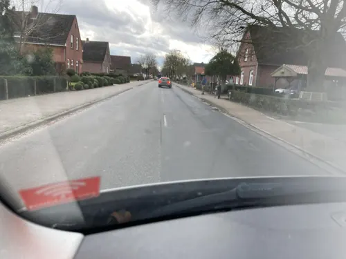
Mühle Erks
Farm and orchard · 4.3 km
5 Horster Hauptstraße, Friedeburg
Mo-Fr 09:00-13:00,14:00-18:00; Sa 09:00-13:00


Museums and landmarks28

Rutteler Mühle
Monument and historic site · 3.6 km
Einzige Windmühle Deutschlands mit Gattersägewerk. Voll funktionsfähiger zweistöckiger Gallerieholländer auf Backstein-Achteck mit...

Erinnerungsort ehemalige Synagoge in Neustadtgödens
Museum · 6.9 km
47 Kirchstraße, Sande

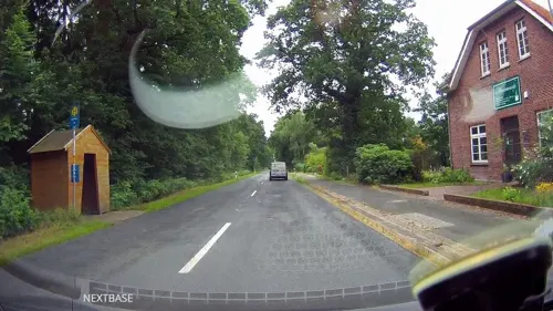

Horster Mühle
Monument and historic site · 4.3 km
Zweistöckiger voll funktionsfähiger Galerieholländer mit zwei Mahlgängen und Windrose. Besichtigung nach Absprache möglich.


16 more on the map.
Parks, trails and playgrounds28






16 more on the map.
Restaurants and cafes54
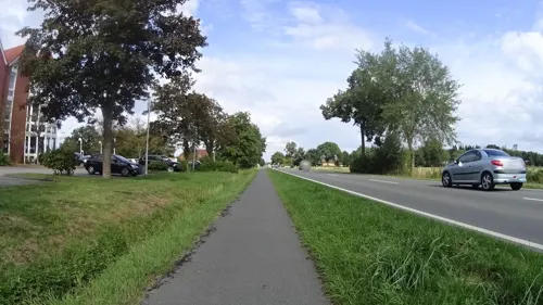
Café & Restaurant "Weitblick"
Restaurant · German · 4.5 km
49 Hilgenholter Straße, Bockhorn
Apr-Sep: Mo-Sa 09:30-14:00; Oct-Mar: Mo-Sa 09:30-17:00
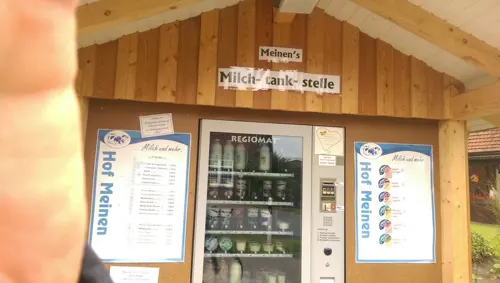
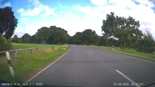
Café Rutteler Mühle
Cafe · Cake, Tea, Coffee Shop · 3.6 km
2 Friedeburger Straße, Zetel
Mo off; Tu-Fr 14:00-18:00; Sa 12:00-18:00; Su,PH 10:00-18:00
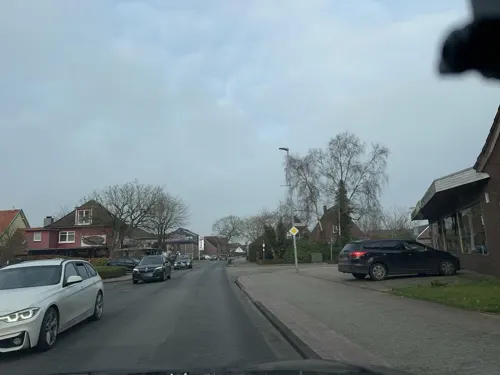
Osteria La Grappa
Restaurant · Italian · 3.8 km
6 Steinhauser Straße, Bockhorn
12:00-14:00; 17:30-23:00
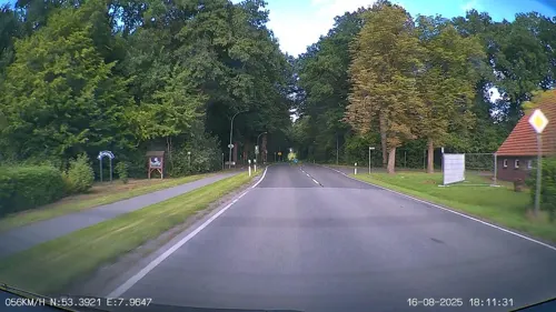

Cafe und Heuhotel Eyting
Cafe · 6.5 km
40 Rahlinger Straße, Varel
Fr,Sa 14:00-17:00; PH,Su 09:00-12:00,14:00-17:00
Hofcafe Horster Grashaus
Cafe · 5.5 km
1 Horster Grashaus, Friedeburg
Mo-Tu,Fr-Sa 14:00-18:00; Su 10:00-18:00; We-Th off
Müller & Egerer
Cafe · Coffee Shop
17 Bahnhofstraße, Zetel
Mo-Fr 06:00-18:00; Sa 06:00-17:00; Su 07:30-17:00
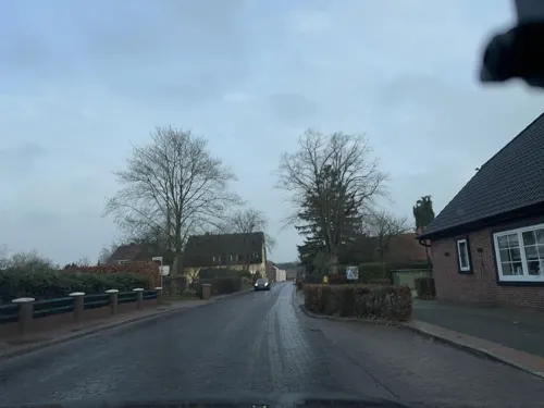


42 more on the map.
Where to stay9
Churches and places of worship16
St.-Cosmas-und-Damian-Kirche
Church · Evangelical · 4.1 km
Lauwstraße, Bockhorn
Friedhofskapelle Neuenburg
Church · Lutheran · 2.8 km
1 Graf-Anton-Günther-Straße, Zetel
Jehovas Zeugen Versammlung Bockhorn e.V.
Church · Jehovahs Witness · 3.9 km
25 Fichtenstraße, Bockhorn
Shopping24
Gas and EV charging10
Schools, colleges and libraries17
Behindertenwerkstätten Werkstatt Jeringhave
School · 6.5 km
4 Rotenhahner Straße, Varel
Grundschule Bockhorn - Nebenstelle Steinhausen
School · 4.2 km
18 Hohle Straße, Bockhorn
Grundschule Friedeburg - Standort Marx
School · 7.6 km
47 Marxer Hauptstraße, Friedeburg
Healthcare5
Map of Zetel
196 places. The map loads OpenStreetMap tiles when you open it.
Getting there and nearby towns
JadeWeserAirport (WVN) is the nearest airport with scheduled flights listed in OpenStreetMap, 11 km away.
- Bockhorn 4 km southeast, about 4 min by car
- Friedeburg 10 km northwest, about 10 min by car
- Sande 10 km north, about 10 min by car
- Varel 11 km east, about 11 min by car
- Apen 24 km southwest, about 24 min by car
- Oldenburg 35 km southeast, about 35 min by car
- Ostrhauderfehn 39 km southwest, about 39 min by car
- Bremerhaven 43 km east, about 43 min by car
- Emstek 66 km south, about 1 h by car
- Bremen 67 km southeast, about 1 h by car
Drive times are estimates from straight-line distance, not routes.
Local news
Headlines from INDB.
Reviews, tips and questions
Loading what members have shared...
Sources and licences
- GeoNames (CC BY 4.0): population, coordinates, regions and time zone
- Mapillary (see each image): photos
- OpenStreetMap contributors (ODbL 1.0): places, airports, map data
- Wikidata (CC0 1.0): elevation, founding date, time zone, website
- Wikimedia Commons (see each image): photos
- Wikipedia (CC BY-SA 4.0): overview and history text
Photo credits
- Rutteler Mühle, Michiel1972, CC BY-SA 3.0
- Niedersachsen-Friesland-Zetel-ND-FRI-45, Inerle~dewiki, CC BY-SA 4.0
- Niedersachsen-Friesland-Zetel-ND-FRI-09, Inerle~dewiki, CC BY-SA 4.0
- J011 2021-11-21 Zetel-Ost Eisenbahn, Pathumthani, CC BY-SA 4.0
- J009 2021-11-15 Zetel-Ost Info Graeberfeld, Pathumthani, CC BY-SA 4.0
- J008 2021-11-15 Freibad Zetel Wegweiser, Pathumthani, CC BY-SA 4.0
- J010 2021-11-15 Zetel-Ost Skulptur, Pathumthani, CC BY-SA 4.0
- Niedersachsen-Friesland-Zetel-LSG-FRI-00125-pic4, Inerle~dewiki, CC BY-SA 4.0
- Niedersachsen-Friesland-Zetel-LSG-FRI-00125-2-pic2, Inerle~dewiki, CC BY-SA 4.0
- Niedersachsen-Friesland-Zetel-LSG-FRI-00125-pic1, Inerle~dewiki, CC BY-SA 4.0
- Niedersachsen-Friesland-Zetel-LSG-FRI-00125-pic3, Inerle~dewiki, CC BY-SA 4.0
- Driefeler Wiesen 02 (NSG WE 250), Utz Wöhleke, CC BY-SA 4.0
- St. Martinus-Kirche Etzel (Nordseite), GregorHelms, CC BY-SA 3.0
- ChurchHorsten, Frisia Orientalis, CC BY-SA 3.0
- 2015 07 Synagoge Neustadtgödens 001, Uwe Karwath, Wilhelmshaven, CC BY 3.0
- St. Josef (Neustadtgödens) 01, Rabanus Flavus, CC0
- 40931 Bockhorn (FRI) Nordwand + Turm v NO, ~~, CC BY-SA 4.0
- NSG SchwarzesMeer2, Christian Fischer, CC BY-SA 4.0
- 2011 04 Neuenburger Urwald Tor Hauptweg, WHVer , Uwe Karwath, Wilhelmshaven, CC BY 3.0
- Rutteler Muehle, Cafic, CC BY-SA 3.0
- Schloss Neuenburg (Zetel - Neuenburg - Friesland) 08, Dickelbers, CC BY-SA 3.0
- NSG SchwarzesMeer1, Christian Fischer, CC BY-SA 4.0
- Sandentnahmestelle Neustadtgödens, Zabbelgnom, CC BY-SA 3.0
- St. Josef (Neustadtgödens) 02, Rabanus Flavus, CC0
- 40925 Bockhorn (FRI) Kirche v SO, ~~, CC BY-SA 4.0
- Neustadtgödens EvKirche 02, Dickelbers, CC BY-SA 3.0
- Heimatmuseum Neuenburg - geo.hlipp.de - 27918, Robert Harvey on geo.hlipp.de, CC BY-SA 2.0
- Street-level photo, heetENkoel, CC BY-SA 4.0
- Street-level photo, heetENkoel, CC BY-SA 4.0
- Street-level photo, Isilcalgan, CC BY-SA 4.0
- Street-level photo, ramap, CC BY-SA 4.0
- Street-level photo, audiinatix, CC BY-SA 4.0
- Street-level photo, derlipper, CC BY-SA 4.0
- Street-level photo, alexander2010, CC BY-SA 4.0
- Street-level photo, derlipper, CC BY-SA 4.0
- Street-level photo, alexander2010, CC BY-SA 4.0
- Street-level photo, heetENkoel, CC BY-SA 4.0
- Street-level photo, Isilcalgan, CC BY-SA 4.0
- Street-level photo, klaas130, CC BY-SA 4.0
- Street-level photo, derlipper, CC BY-SA 4.0
- Street-level photo, deleted_user, CC BY-SA 4.0
- Street-level photo, Isilcalgan, CC BY-SA 4.0
- Street-level photo, audiinatix, CC BY-SA 4.0
- Street-level photo, Isilcalgan, CC BY-SA 4.0
- Street-level photo, derlipper, CC BY-SA 4.0
- Street-level photo, VIA_KK, CC BY-SA 4.0


Page built November 8, 2026. Spotted a mistake? Tell us or suggest a place.