
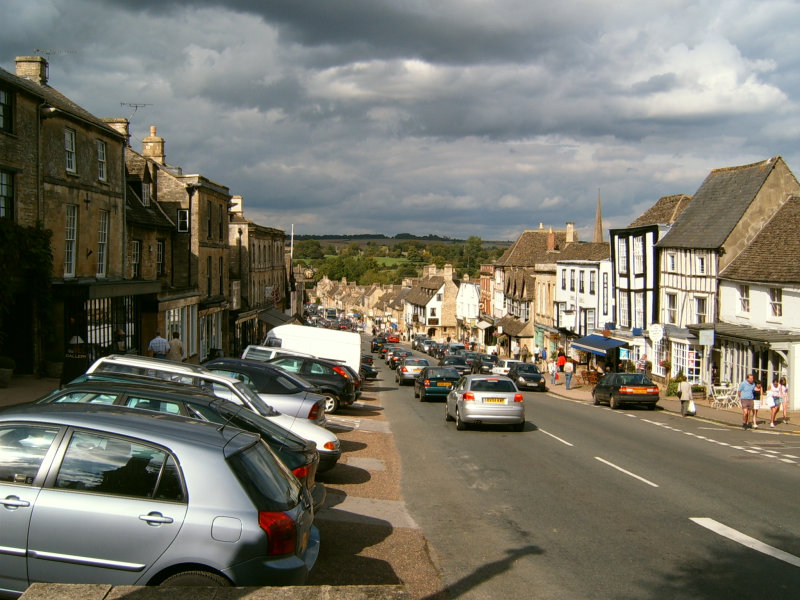


Why visit Burford
Townapedia lists 9 museums and landmarks, 4 parks and trails, 17 places to eat, 11 places to stay and 1 attraction in and around town.
Highlights include Tolsey Museum, Asthall Barrow: an Anglo-Saxon burial mound 100m SSW of Barrow Farm, Cotswold Wildlife Park and Crocodiles of the World.
Weather in Burford
Forecast from MET Norway (CC BY 4.0). Full forecast
About Burford
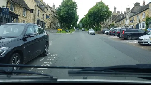
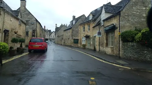
Burford () is a town on the River Windrush, in the Cotswold hills, in the West Oxfordshire district of Oxfordshire, England. It is often referred to as the 'gateway' to the Cotswolds. Burford is located 18 miles (29 km) west of Oxford and 22 miles (35 km) southeast of Cheltenham, about 2 miles (3 km) from the Gloucestershire boundary. The toponym derives from the Old English words burh meaning fortified town or hilltown and ford, the crossing of a river.
From the Wikipedia article Burford (this version), under CC BY-SA 4.0.
Travel tips from other travellers: Burford on Wikivoyage (CC BY-SA 4.0).
Photos of Burford


Things to do1
Museums and landmarks9

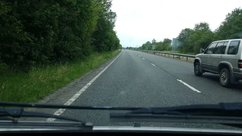
Asthall Barrow: an Anglo-Saxon burial mound 100m SSW of Barrow Farm
Monument and historic site · 2.7 mi
Archaeological site in Asthall, West Oxfordshire, England, UK

Westwell War Memorial
Monument and historic site · 2.3 mi
War memorial in Westwell, Oxfordshire, England, UK

Parks, trails and playgrounds4




Restaurants and cafes17


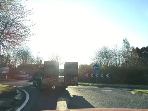
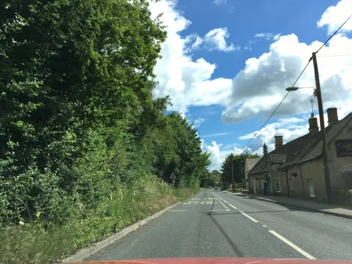
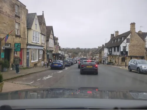
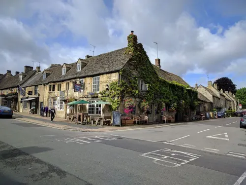

5 more on the map.
Notable people from Burford
 William BeecheyEnglish painter (1753–1839)Photo: William Beechey, Public domain
 Lucius Cary, 2nd Viscount FalklandEnglish politician (1610-1643)Photo: Circle of Anthony van Dyck, Public domain
- Peter HeylinEnglish ecclesiastic and author of polemical, historical, political and theological tracts (1599-1662)
- Henry Cary, 4th Viscount FalklandEnglish politician
- Roy EmertonBritish actor
- Charles NewmarchChurch of England clergyman and author (1824-1903)
- Edward MortimerBritish journalist, and chief speechwriter and director of communications at the UN
Born in Burford, according to Wikidata (CC0). Each name links to its Wikipedia article.
Where to stay11
Churches and places of worship10
Shopping15
Schools, colleges and libraries4
Healthcare1
Map of Burford
72 places. The map loads OpenStreetMap tiles when you open it.
Getting there and nearby towns
RAF Brize Norton (BZZ) is the nearest airport with scheduled flights listed in OpenStreetMap, 4 miles away.
- Carterton 4 mi southeast, about 6 min by car
- Minster Lovell 4 mi east, about 6 min by car
- Witney 7 mi east, about 11 min by car
- Ducklington 7 mi southeast, about 11 min by car
- North Leigh 8 mi east, about 13 min by car
- Northleach 9 mi west, about 14 min by car
- Stonesfield 9 mi east, about 15 min by car
- Standlake 11 mi southeast, about 17 min by car
- Kidlington 15 mi east, about 24 min by car
- Oxford 17 mi east, about 27 min by car
Drive times are estimates from straight-line distance, not routes.
Towns near Burford


Keep exploring
Local news
Headlines from INDB.
Reviews, tips and questions
Loading what members have shared...
Sources and licences
- GeoNames (CC BY 4.0): population, coordinates, regions and time zone
- Mapillary (see each image): photos
- OpenStreetMap contributors (ODbL 1.0): places, airports, map data
- Wikidata (CC0 1.0): elevation, founding date, time zone, website, landmarks and historic places
- Wikimedia Commons (see each image): photos
- Wikipedia (CC BY-SA 4.0): overview and history text
Photo credits
- Main Street in BurfordOxfordshire, UK, Ettlz at English Wikipedia, CC BY-SA 3.0
- Amelia Hales, Burford, Rodw, CC BY-SA 4.0
- Bumbles of Burford, Rodw, CC BY-SA 4.0
- Wren Gallery, Burford, Rodw, CC BY-SA 4.0
- Falkland Hall, Burford, Rodw, CC BY-SA 4.0
- Window Box Cottage, Burford, Rodw, CC BY-SA 4.0
- Providence Cottage, Burford, Rodw, CC BY-SA 4.0
- Cotswold Arms, Burford 01, Rodw, CC BY-SA 4.0
- Westwell War Memorial, Westwell, Oxfordshire - August 2025 - 01, Mertbiol, CC0
- Cotswold Wildlife Park -Burford, England -gardens-25June2006, ciukes, CC BY 2.0
- 1223964 Methodist Church, Highstreet Burford 20240601 0037, Tilman2007, CC BY-SA 4.0
- St Peter's Church, Little Barrington, Gloucestershire - August 2025, Mertbiol, CC0
- 1223880 The Bull Hotel, Highstreet Burford 20240601 0050, Tilman2007, CC BY-SA 4.0
- Widford StOswald SE, Motacilla, CC BY-SA 3.0
- Burford House Hotel, Rodw, CC BY-SA 4.0
- Mermaid Inn, Burford, Rodw, CC BY-SA 4.0
- Huffkins, Burford, Rodw, CC BY-SA 4.0
- Burford RoyalOak, Motacilla, CC BY-SA 3.0
- Burford Library, Rodw, CC BY-SA 4.0
- Spice Lounge, Burford, Rodw, CC BY-SA 4.0
- 2006 Alfa Romeo Brera, hugh llewelyn, CC BY-SA 2.0
- Tolsey Museum, Burford, Rodw, CC BY-SA 4.0
- Cotswold Arms, Burford 02, Rodw, CC BY-SA 4.0
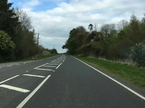
- Street-level photo, southglos, CC BY-SA 4.0
- Street-level photo, southglos, CC BY-SA 4.0
- Street-level photo, southglos, CC BY-SA 4.0
- Street-level photo, southglos, CC BY-SA 4.0
- Street-level photo, richardc, CC BY-SA 4.0
- Street-level photo, southglos, CC BY-SA 4.0
- Street-level photo, janvanbekkum, CC BY-SA 4.0
- Street-level photo, richardc, CC BY-SA 4.0
- Street-level photo, swinetown, CC BY-SA 4.0
- Street-level photo, janvanbekkum, CC BY-SA 4.0
- Street-level photo, southglos, CC BY-SA 4.0
- Street-level photo, richardc, CC BY-SA 4.0
- Street-level photo, richardc, CC BY-SA 4.0
- Street-level photo, southglos, CC BY-SA 4.0
- Street-level photo, southglos, CC BY-SA 4.0
- Street-level photo, swinetown, CC BY-SA 4.0
- Street-level photo, richardc, CC BY-SA 4.0
- Street-level photo, swinetown, CC BY-SA 4.0
- Street-level photo, southglos, CC BY-SA 4.0
- Street-level photo, richardc, CC BY-SA 4.0
- Street-level photo, richardc, CC BY-SA 4.0
- Street-level photo, swinetown, CC BY-SA 4.0
- Street-level photo, southglos, CC BY-SA 4.0


Page built November 10, 2026. Spotted a mistake? Tell us or suggest a place.