


Bushmills, United Kingdom
Bushmills is a town of 1,309 people in Northern Ireland, United Kingdom.
Why visit Bushmills
Townapedia lists 2 museums and landmarks, 4 parks and trails, 19 places to eat and 6 places to stay in and around town.
Weather in Bushmills
Forecast from MET Norway (CC BY 4.0). Full forecast
About Bushmills
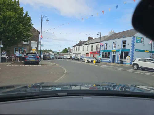
Bushmills (Irish Gaelic: Muileann na Buaise ) is a village on the north coast of County Antrim, Northern Ireland. Bushmills had a population of 1,247 in the 2021 Census. It is located 60 miles (97 km) from Belfast, 11 miles (18 km) from Ballycastle and 9 miles (14 km) from Coleraine. The village owes its name to the River Bush and to a large watermill that was built there in the early 17th century.
From the Wikipedia article Bushmills, County Antrim (this version), under CC BY-SA 4.0.
Travel tips from other travellers: Bushmills on Wikivoyage (CC BY-SA 4.0).
Museums and landmarks2

Parks, trails and playgrounds4



Restaurants and cafes19
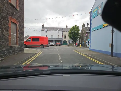
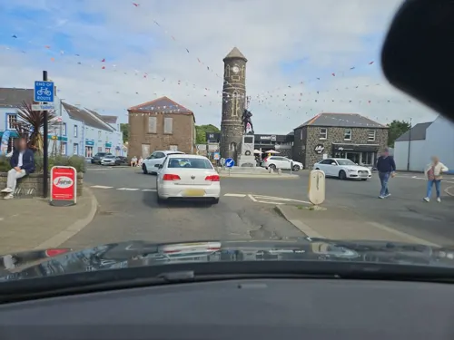
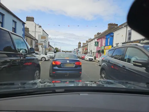
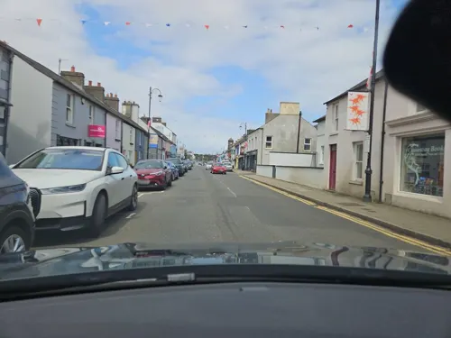



7 more on the map.
Where to stay6


Notable people from Bushmills
 Norman ParkeNorthern Irish mixed martial artistPhoto: AMFE, CC BY 3.0
- Dick CreithBritish motorcycle racer
- James CraigIrish physician, professor of medicine and politician (1861-1933)
- Fred McMullanIrish darts player
- Caroline McElnayNew Zealand Director of Public Health
- John Keanbusinessman, politician
- John McKeagueNorthern Irish politician (1930-1982)
- Claire McLaughlinIrish rugby union player
Born in Bushmills, according to Wikidata (CC0). Each name links to its Wikipedia article.
Churches and places of worship3
Dunluce Presbyterian Church
Church · Presbyterian · 0.5 mi
Priestland Road, Bushmills
Shopping9
Gas and EV charging3
Schools, colleges and libraries2
Map of Bushmills
48 places. The map loads OpenStreetMap tiles when you open it.
Getting there and nearby towns
City of Derry Airport (LDY) is the nearest airport with scheduled flights listed in OpenStreetMap, 28 miles away.
- Portrush 5 mi west, about 8 min by car
- Coleraine 8 mi southwest, about 12 min by car
- Portstewart 8 mi west, about 13 min by car
- Castlerock 11 mi west, about 18 min by car
- Limavady 20 mi southwest, about 32 min by car
- Cushendall 20 mi southeast, about 32 min by car
- Cullybackey 23 mi south, about 37 min by car
- Portglenone 23 mi south, about 37 min by car
- Dungiven 24 mi southwest, about 39 min by car
- Ballymena 25 mi south, about 41 min by car
Drive times are estimates from straight-line distance, not routes.
Towns near Bushmills


Keep exploring
Local news
Headlines from INDB.
Reviews, tips and questions
Loading what members have shared...
Sources and licences
- GeoNames (CC BY 4.0): population, coordinates, regions and time zone
- Mapillary (see each image): photos
- OpenStreetMap contributors (ODbL 1.0): places, airports, map data
- Wikidata (CC0 1.0): elevation, founding date, time zone, website
- Wikimedia Commons (see each image): photos
- Wikipedia (CC BY-SA 4.0): overview and history text
Photo credits
- Bushmills2, Sue Adair, CC BY-SA 2.0
- The bushmills whisky - panoramio, Lennon, CC BY-SA 3.0
- Street-level photo, toho, CC BY-SA 4.0
- Street-level photo, toho, CC BY-SA 4.0
- Street-level photo, toho, CC BY-SA 4.0
- Street-level photo, toho, CC BY-SA 4.0
- Street-level photo, toho, CC BY-SA 4.0
- Street-level photo, debigc, CC BY-SA 4.0
- Street-level photo, toho, CC BY-SA 4.0
- Street-level photo, toho, CC BY-SA 4.0
- Street-level photo, toho, CC BY-SA 4.0
- Street-level photo, toho, CC BY-SA 4.0
- Street-level photo, toho, CC BY-SA 4.0
- Street-level photo, toho, CC BY-SA 4.0
- Street-level photo, toho, CC BY-SA 4.0
- Street-level photo, toho, CC BY-SA 4.0
- Street-level photo, toho, CC BY-SA 4.0
- Street-level photo, toho, CC BY-SA 4.0
- Street-level photo, toho, CC BY-SA 4.0
- Street-level photo, toho, CC BY-SA 4.0
Page built November 10, 2026. Spotted a mistake? Tell us or suggest a place.