


Cushendall, United Kingdom
Cushendall is a town of 1,226 people in Northern Ireland, United Kingdom.
Why visit Cushendall
Townapedia lists 3 museums and landmarks, 1 park or trail, 13 places to eat, 6 places to stay and 3 attractions in and around town.
Highlights include Red Bay Castle.
Weather in Cushendall
Forecast from MET Norway (CC BY 4.0). Full forecast
About Cushendall
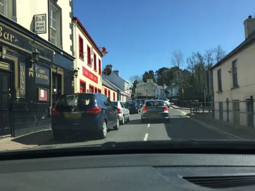
Cushendall (from Irish Cois Abhann Dalla, meaning 'foot of the River Dall') is a coastal village and townland (of 153 acres) in County Antrim, Northern Ireland. It is located in the historic barony of Glenarm Lower and the civil parish of Layd, and is part of Causeway Coast and Glens district.
From the Wikipedia article Cushendall (this version), under CC BY-SA 4.0.
Travel tips from other travellers: Cushendall on Wikivoyage (CC BY-SA 4.0).
Things to do3

Museums and landmarks3
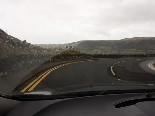
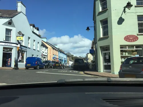

Layd Old Church (ruins)
Monument and historic site · 1.0 mi
Layde Road, Cushendall
Parks, trails and playgrounds1

Restaurants and cafes13
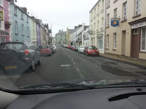
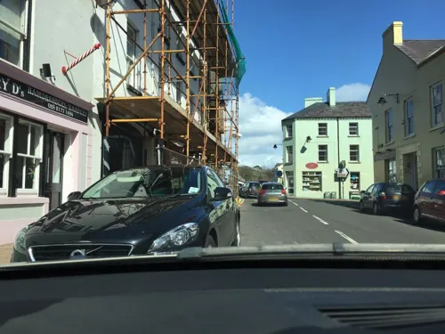
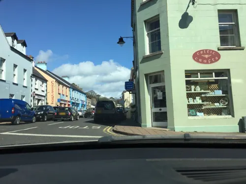
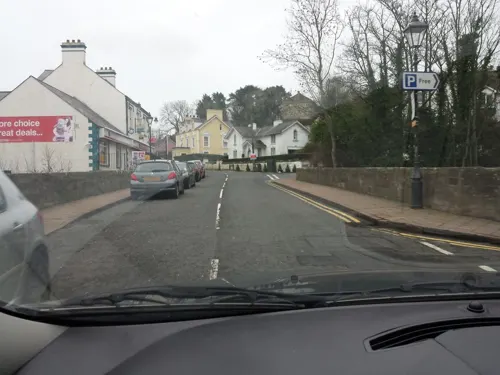
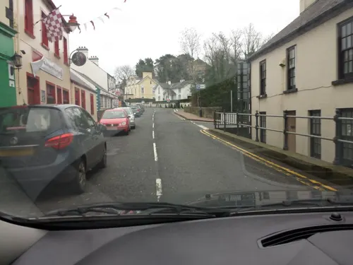
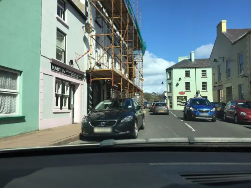
The Filling Station
Fast food · Fish And Chips
We-Su 16:00-22:00
1 more on the map.
History
During The Troubles in Northern Ireland from 1970 to 1998, a shooting occurred in Cushendall. Several lorries of Ulster Special Constabulary (USC) personnel, accompanied by British Army soldiers, drove into Cushendall on the night of 23 June 1922 to enforce the nightly curfew. The USC proceeded to open fire on a crowd of onlookers, killing three Catholic men: James McAllister, John Gore and John Hill. After the incident, the USC claimed they were ambushed by the Irish Republican Army and returned fire, but a British government inquiry, which was declassified almost a century later, concluded that the constabulary's version of events was false.
There were further violent incidents during the Troubles of the late 20th century:
Sergeant Joseph Campbell, a Catholic Royal Ulster Constabulary (RUC) officer, was shot dead on 25 February 1977 as he locked up the local police station. An RUC officer, Charles McCormick, was later acquitted of Campbell's murder and other charges including possession of explosives, firearms and armed robbery.
RUC officer Alexander Bell died as a result of his injuries on 25 July 1989 from a previous Provisional Irish Republican Army (IRA) land mine attack on his patrol car.
From the History section of Cushendall on Wikipedia, under CC BY-SA 4.0.
More about Cushendall
Arts and culture
Holiday accommodation in the area ranges from self-catering to bed & breakfast and caravan and camping. Cushendall has three caravan and camping sites. It has a number of shops, which offer local gifts and crafts, as well as many other items.
There is also an annual vintage car rally which is held in the village.
From the Wikipedia article Cushendall, under CC BY-SA 4.0.
Notable people from Cushendall
 Alasdair McDonnellIrish politicianPhoto: Brian O'Neill, CC BY-SA 4.0
 James MacDonnellIrish physician and polymath (1763 – 1845)Photo: Christopher Moore (1790–1863)..., Public domain
- Oliver McMullanNorthern Irish politician (born 1952)
- Séamus Ó Duileargafolklorist (1899–1980)
- Neil McManusIrish hurler
- G.V. Krishna RaoTelugu novelist and rationalist; author of Keelubommalu
- James McNaughtonIrish hurler
- Leonard McKeeganIrish hurler
- Shane McNaughtonIrish hurler
- Arron GraffinIrish hurler
- Karl McKeeganIrish hurler
- Terence McNaughtonIrish hurler
Born in Cushendall, according to Wikidata (CC0). Each name links to its Wikipedia article.
Where to stay6
Shopping3
Schools, colleges and libraries4
Glenann Primary School
School · Roman Catholic · 1.4 mi
8 Glenann Road, Cushendall
St Patrick's Primary School
School · Roman Catholic · 1.5 mi
244 Garron Road, Glenariff
Map of Cushendall
33 places. The map loads OpenStreetMap tiles when you open it.
Getting there and nearby towns
Campbeltown Airport (CAL) is the nearest airport with scheduled flights listed in OpenStreetMap, 29 miles away.
- Ballymena 17 mi southwest, about 28 min by car
- Larne 19 mi southeast, about 30 min by car
- Portglenone 22 mi southwest, about 35 min by car
- Coleraine 24 mi west, about 39 min by car
- Portrush 24 mi west, about 39 min by car
- Randalstown 25 mi southwest, about 40 min by car
- Antrim 26 mi south, about 41 min by car
- Carrickfergus 27 mi south, about 44 min by car
- Portstewart 27 mi west, about 43 min by car
- Newtownabbey 30 mi south, about 48 min by car
Drive times are estimates from straight-line distance, not routes.
Towns near Cushendall


Keep exploring
Local news
Headlines from INDB.
Reviews, tips and questions
Loading what members have shared...
Sources and licences
- GeoNames (CC BY 4.0): population, coordinates, regions and time zone
- Mapillary (see each image): photos
- OpenStreetMap contributors (ODbL 1.0): places, airports, map data
- Wikidata (CC0 1.0): elevation, founding date, time zone, website
- Wikimedia Commons (see each image): photos
- Wikipedia (CC BY-SA 4.0): overview and history text
Photo credits
- Cushendall2, Bob Embleton, CC BY-SA 2.0
- Cushendall County Antrim (24120901633), National Library of Ireland on The Commons, No restrictions
- Street-level photo, ilmarinen946, CC BY-SA 4.0
- Street-level photo, mackerski, CC BY-SA 4.0
- Street-level photo, ilmarinen946, CC BY-SA 4.0
- Street-level photo, mackerski, CC BY-SA 4.0
- Street-level photo, ilmarinen946, CC BY-SA 4.0
- Street-level photo, ilmarinen946, CC BY-SA 4.0
- Street-level photo, mackerski, CC BY-SA 4.0
- Street-level photo, mackerski, CC BY-SA 4.0
- Street-level photo, ilmarinen946, CC BY-SA 4.0
- Street-level photo, mackerski, CC BY-SA 4.0
- Street-level photo, ilmarinen946, CC BY-SA 4.0
- Street-level photo, ilmarinen946, CC BY-SA 4.0
- Street-level photo, mackerski, CC BY-SA 4.0
- Street-level photo, mackerski, CC BY-SA 4.0
- Street-level photo, mackerski, CC BY-SA 4.0
- Street-level photo, mackerski, CC BY-SA 4.0
- Street-level photo, mackerski, CC BY-SA 4.0
- Street-level photo, mackerski, CC BY-SA 4.0
- Street-level photo, mackerski, CC BY-SA 4.0
Page built November 10, 2026. Spotted a mistake? Tell us or suggest a place.