


Portrush, United Kingdom
Portrush is a town of 6,684 people in Northern Ireland, United Kingdom.
Why visit Portrush
Townapedia lists 7 museums and landmarks, 12 parks and trails, 48 places to eat, 26 places to stay and 1 attraction in and around town.
Highlights include The Playhouse, Coastal Zone, Corrstown Bronze Age Village and Curry's Fun Park.
Weather in Portrush
Forecast from MET Norway (CC BY 4.0). Full forecast
About Portrush
Portrush (from Irish Port Rois, meaning 'port of the promontory') is a small seaside resort town on the north coast of County Antrim, Northern Ireland. It neighbours the resort of Portstewart in County Londonderry. The main part of the old town, including the railway station as well as most hotels, restaurants and bars, is built on a 1 mile (1.6 km)–long peninsula, Ramore Head. It had a population of 6,150 at the 2021 census.
From the Wikipedia article Portrush (this version), under CC BY-SA 4.0.
Travel tips from other travellers: Portrush on Wikivoyage (CC BY-SA 4.0).
Things to do1
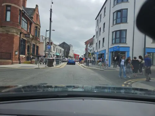
Museums and landmarks7
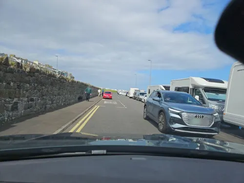


Parks, trails and playgrounds12

Curry's Fun Park
Sports field and stadium · 0.5 mi
Amusement park in Northern Ireland
16 Eglinton Street, Portrush






Restaurants and cafes48
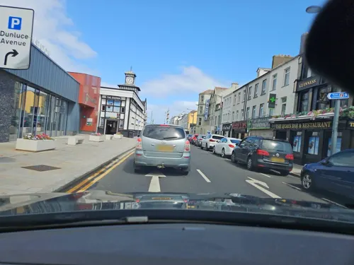
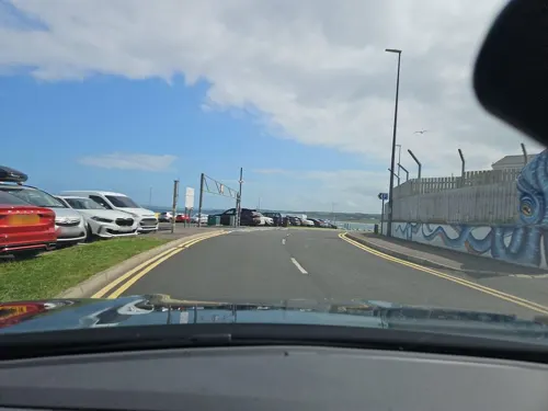



36 more on the map.
History
A number of flint tools found during the late 19th century show that the site of Portrush was occupied during the "Larnian" (late Irish Mesolithic) period; recent estimates date this to around 4000 BC.
The site of Portrush, with its excellent natural defences, probably became a permanent settlement around the 12th or 13th century. A church is known to have existed on Ramore Head at this time, but no part of it now survives. From the records of the papal taxation of 1306, the Portrush church – and by extension the village – appears to have been reasonably wealthy. The promontory also held two castles, at varying periods. The first of these, Caisleán an Teenie, is believed to have been at the tip of Ramore Head, and probably destroyed in the late 16th century; the other, Portrush Castle, may have been built around the time of the Plantation of Ulster in the early 17th century. Nothing survives of either castle.
Read more of the history
Following the Wars of the Three Kingdoms in the mid-17th century, Portrush became a small fishing town. It grew substantially in the 19th century as a tourist destination, following the opening of the Ballymena, Ballymoney, Coleraine and Portrush Junction Railway in 1855, and by the turn of the 20th century had become one of the major resort towns of Ireland, with a number of large hotels and boarding houses including the prominent Northern Counties Hotel. As well as the town's beaches and the Royal Portrush Golf Club (opened 1888), the nearby Giant's Causeway was a popular tourist destination, with the Giant's Causeway Tramway – at the time, one of the world's longest electrified railways – built in 1893 to cater to travellers coming from Portrush.
The town's fortunes peaked in the late 19th and early 20th century, and declined after the Second World War with the growth of foreign travel. It escaped any involvement in the Troubles until 3 August 1976, when a series of bombings of properties burned out and destroyed several buildings, though with no loss of life. In a second attack in April 1987, two officers of the Royal Ulster Constabulary (RUC) were shot in the back by the Provisional Irish Republican Army while on foot patrol on Main Street.
From the History section of Portrush on Wikipedia, under CC BY-SA 4.0.
More about Portrush
Education
Portrush Primary School: a primary school with a nursery unit on Crocnamac Road. The school educates around 250 pupils aged 4–11. Portrush Primary was established in 1959.
From the Wikipedia article Portrush, under CC BY-SA 4.0.
Notable people from Portrush
 Fred Dalyprofessional golfer (1911–1990)Photo: Albert Bridge, CC BY-SA 2.0
- Graeme McDowellNorthern Irish professional golfer
- Gregory GrayBritish musician (1959-2019)
- Robert J. GettyAmerican classical philologist
- Noel MartinBritish Army officer and international golfer
Born in Portrush, according to Wikidata (CC0). Each name links to its Wikipedia article.
Where to stay26
The Marcus Portrush, Tapestry Collection by Hilton
Motel and hotel · 0.8 mi
39 - 41 Main Street, Portrush
Churches and places of worship6
Ballywillan Presbyterian Church
Church · Presbyterian · 0.9 mi
Atlantic Road, Portrush
Shopping16
Gas and EV charging6
Schools, colleges and libraries5
Healthcare2
Map of Portrush
129 places. The map loads OpenStreetMap tiles when you open it.
Getting there and nearby towns
City of Derry Airport (LDY) is the nearest airport with scheduled flights listed in OpenStreetMap, 23 miles away.
- Portstewart 3 mi west, about 4 min by car
- Coleraine 4 mi south, about 7 min by car
- Limavady 16 mi southwest, about 25 min by car
- Portglenone 23 mi south, about 38 min by car
- Ballymena 27 mi southeast, about 44 min by car
- Derry 29 mi southwest, about 47 min by car
- Randalstown 34 mi southeast, about 54 min by car
- Antrim 37 mi southeast, about 1 h by car
- Cookstown 38 mi south, about 1 h by car
- Larne 41 mi southeast, about 1 h by car
Drive times are estimates from straight-line distance, not routes.
Towns near Portrush


Keep exploring
Local news
Headlines from INDB.
Reviews, tips and questions
Loading what members have shared...
Sources and licences
- GeoNames (CC BY 4.0): population, coordinates, regions and time zone
- Mapillary (see each image): photos
- OpenStreetMap contributors (ODbL 1.0): places, airports, map data
- Wikidata (CC0 1.0): elevation, founding date, time zone, website
- Wikimedia Commons (see each image): photos
- Wikipedia (CC BY-SA 4.0): overview and history text
Photo credits
- Curry's Fun Park, Portrush, Greentreetown, CC BY-SA 4.0
- Giant's Causeway 2023-05-25 26, Z thomas, CC BY-SA 4.0
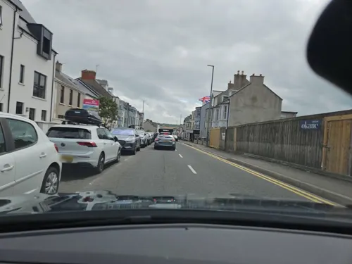
- Street-level photo, toho, CC BY-SA 4.0
- Street-level photo, toho, CC BY-SA 4.0
- Street-level photo, toho, CC BY-SA 4.0
- Street-level photo, toho, CC BY-SA 4.0
- Street-level photo, toho, CC BY-SA 4.0
- Street-level photo, toho, CC BY-SA 4.0
- Street-level photo, toho, CC BY-SA 4.0
- Street-level photo, toho, CC BY-SA 4.0
- Street-level photo, toho, CC BY-SA 4.0
- Street-level photo, toho, CC BY-SA 4.0
- Street-level photo, toho, CC BY-SA 4.0
- Street-level photo, toho, CC BY-SA 4.0
- Street-level photo, toho, CC BY-SA 4.0
- Street-level photo, toho, CC BY-SA 4.0
- Street-level photo, toho, CC BY-SA 4.0
- Street-level photo, toho, CC BY-SA 4.0
- Street-level photo, toho, CC BY-SA 4.0
- Street-level photo, toho, CC BY-SA 4.0
- Street-level photo, toho, CC BY-SA 4.0
Page built November 10, 2026. Spotted a mistake? Tell us or suggest a place.