


Calderbank, United Kingdom
Calderbank is a town of 1,610 people in Scotland, United Kingdom.
Why visit Calderbank
Townapedia lists 8 museums and landmarks, 5 parks and trails, 23 places to eat, 2 places to stay and 3 attractions in and around town.
Highlights include Summerlee Museum of Scottish Industrial Life, Summerlee Iron Works and The Albert Bartlett Stadium.
Weather in Calderbank
Forecast from MET Norway (CC BY 4.0). Full forecast
About Calderbank
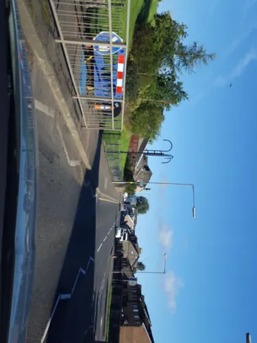
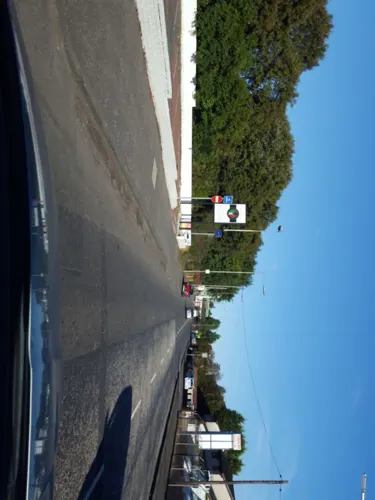
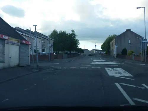
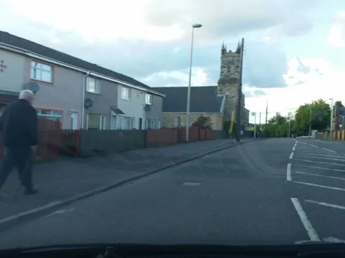
Calderbank is a village outside the town of Airdrie, North Lanarkshire, Scotland. It lies east of the M73, on the west bank of the North Calder Water. The village lies 13 miles (21 km) east of Glasgow city centre and around 34 miles (55 km) west of Edinburgh. Other nearby towns include: Airdrie (2.5 miles (4.0 km)), Coatbridge (4 miles (6.4 km)), Bellshill (4 miles (6.4 km)) and Motherwell (5 miles (8.0 km)).
From the Wikipedia article Calderbank (this version), under CC BY-SA 4.0.
Photos of Calderbank


Things to do3

Museums and landmarks8

Summerlee Museum of Scottish Industrial Life
Museum · 2.8 mi
Industrial and social history museum in Coatbridge, Scotland, United Kingdom

Summerlee Iron Works
Monument and historic site · 2.8 mi
Demolished 19th century iron works
Historical remains of Woodhall House
Monument and historic site · 0.4 mi
Historical remains of Woodhall House (former Estate Stately home) and walled garden (one of the founders of Kew Gardens trained here)
Parks, trails and playgrounds5



Restaurants and cafes23
Tee's Treats
Cafe · 1.1 mi
106 Carlisle Road, Airdrie
Mo-Fr 09:00-16:00; Sa 09:00-15:00




11 more on the map.
History
The village is famous for being the birthplace of the Vulcan, the world's first iron boat, which sailed from Calderbanks Iron Works to the River Clyde and plied the Scottish canals first with passengers and then with cargoes of iron and coal.
The Vulcan is depicted on the ‘Welcome to Calderbank’ sign as you enter the village.
Iron from the Calderbanks works was used to build the Queen Mary cruise liner. The Monkland Canal was extended to the west of the village in the late 18th century and was used as a route to transport coal to Port Dundas in Glasgow 12 miles (19.3 km) away. This part of the canal has been preserved between the village and Sikeside on the outskirts of Coatbridge. And other parts of the canal can be seen in Coatbridge town centre and Drumpelier country park, however much of the canal was covered in the 1950s and 1960s by the M8 motorway which actually runs with the meanders of what was the canal (yet under the motorway large pipes still run water which feed the Forth and Clyde canal today).
Calderbank was the site of early Christian settlement, by monks from Newbattle Abbey in the Borders. This gave the local area the name of Monklands.
Read more of the history
Many local residents of Calderbank fought in the First World War 1914-1918. They are commemorated on the village war memorial. Individuals include Helen McKenzie; a nurse and only female resident of Calderbank to be killed in the First World War. Her name is present on the war memorial in the village. Also included are Francis Murray and George Murray; aged 15 and 16 who lied about their age in order to serve their country in the First World War. Both names are present on the war memorial in the village.
From the History section of Calderbank on Wikipedia, under CC BY-SA 4.0.
Notable people from Calderbank
 James Bell PettigrewBritish scientist, anatomist and physician (1832-1908)Photo: Unknown (Elliott & Fry), CC BY 4.0
- James Macrae AitkenScottish chess player (1908-1983)
- Jim BlairBritish footballer (1947-2011)
- Stuart CallaghanBritish association football player (born 1976)
- Tom ReidFootballer (born 1901)
- George McGeachieEnglish footballer
- Thomas Brennanassociation football player
Born in Calderbank, according to Wikidata (CC0). Each name links to its Wikipedia article.
Where to stay2
Churches and places of worship8
Shopping11
Gas and EV charging2
Schools, colleges and libraries15
St Dominic’s PrImary School and Nursery
School · Roman Catholic · 1.1 mi
Petersburn Road, Airdrie
Riverbank Primary School and Community Hub
School · 1.3 mi
1 Paddock Street, Coatbridge
Healthcare2
Map of Calderbank
79 places. The map loads OpenStreetMap tiles when you open it.
Getting there and nearby towns
Glasgow Airport (GLA) is the nearest airport with scheduled flights listed in OpenStreetMap, 18 miles away.
- Airdrie 2 mi north, about 3 min by car
- Mossend 2 mi southwest, about 3 min by car
- Coatbridge 2 mi northwest, about 4 min by car
- Bellshill 3 mi southwest, about 4 min by car
- Viewpark 4 mi west, about 6 min by car
- Motherwell 4 mi south, about 6 min by car
- Hamilton 6 mi southwest, about 9 min by car
- Wishaw 6 mi south, about 9 min by car
- Blantyre 6 mi southwest, about 9 min by car
- Meikle Earnock 7 mi south, about 11 min by car
Drive times are estimates from straight-line distance, not routes.
Towns near Calderbank


Keep exploring
Local news
Headlines from INDB.
Reviews, tips and questions
Loading what members have shared...
Sources and licences
- GeoNames (CC BY 4.0): population, coordinates, regions and time zone
- Mapillary (see each image): photos
- OpenStreetMap contributors (ODbL 1.0): places, airports, map data
- Wikidata (CC0 1.0): elevation, founding date, time zone, website, landmarks and historic places
- Wikimedia Commons (see each image): photos
- Wikipedia (CC BY-SA 4.0): overview and history text
Photo credits
- Calderbank Village, Brianatimmons, CC BY-SA 4.0
- 07125 Corpus Christi Roman Catholic Church, Calderbank 004, WeeHolly, CC BY-SA 4.0
- 07125 Corpus Christi Roman Catholic Church, Calderbank 006, WeeHolly, CC BY-SA 4.0
- 07125 Corpus Christi Roman Catholic Church, Calderbank 002, WeeHolly, CC BY-SA 4.0
- 07125 Corpus Christi Roman Catholic Church, Calderbank 001, WeeHolly, CC BY-SA 4.0
- 07125 Corpus Christi Roman Catholic Church, Calderbank 005, WeeHolly, CC BY-SA 4.0
- 07125 Corpus Christi Roman Catholic Church, Calderbank 003, WeeHolly, CC BY-SA 4.0
- Memorial in Calderbank, RebeccaCalderbank, CC0
- War memorial in calderbank, RebeccaCalderbank, CC0
- Village of Calderbank, RebeccaCalderbank, CC0
- Calderbank memorial, RebeccaCalderbank, CC0
- Calderbank Church, RebeccaCalderbank, CC0
- 05659 Calderbank Church of Scotland, Calderbank 010, WeeHolly, CC BY-SA 4.0
- 05659 Calderbank Church of Scotland, Calderbank 009, WeeHolly, CC BY-SA 4.0
- 05659 Calderbank Church of Scotland, Calderbank 002, WeeHolly, CC BY-SA 4.0
- 05659 Calderbank Church of Scotland, Calderbank 007, WeeHolly, CC BY-SA 4.0
- 05659 Calderbank Church of Scotland, Calderbank 001, WeeHolly, CC BY-SA 4.0
- 05659 Calderbank Church of Scotland, Calderbank 005, WeeHolly, CC BY-SA 4.0
- 05659 Calderbank Church of Scotland, Calderbank 006, WeeHolly, CC BY-SA 4.0
- 05659 Calderbank Church of Scotland, Calderbank 003, WeeHolly, CC BY-SA 4.0
- 05659 Calderbank Church of Scotland, Calderbank 011, WeeHolly, CC BY-SA 4.0
- 05659 Calderbank Church of Scotland, Calderbank 004, WeeHolly, CC BY-SA 4.0
- 05659 Calderbank Church of Scotland, Calderbank 012, WeeHolly, CC BY-SA 4.0
- 05659 Calderbank Church of Scotland, Calderbank 008, WeeHolly, CC BY-SA 4.0
- Summerlee2, Jayhoolihan, Public domain
- File 24-06-2016, 19 43 37, Alanmathew78, CC BY-SA 4.0
- MonklandCanalStart, ML5 at English Wikipedia, Public domain
- MonklandCanalNorthCalderWaterSource, ML5 at English Wikipedia, Public domain
- Street-level photo, marscot, CC BY-SA 4.0
- Street-level photo, hobgoblin, CC BY-SA 4.0
- Street-level photo, hobgoblin, CC BY-SA 4.0
- Street-level photo, marscot, CC BY-SA 4.0
- Street-level photo, marscot, CC BY-SA 4.0
- Street-level photo, marscot, CC BY-SA 4.0
- Street-level photo, hobgoblin, CC BY-SA 4.0


Page built November 10, 2026. Spotted a mistake? Tell us or suggest a place.