


Why visit Kinross
Townapedia lists 10 museums and landmarks, 9 parks and trails, 23 places to eat and 5 places to stay in and around town.
Highlights include Loch Leven Castle, Market Cross and Milnathort Golf Club.
Weather in Kinross
Forecast from MET Norway (CC BY 4.0). Full forecast
About Kinross
Kinross (, Scottish Gaelic: Ceann Rois) is an historic market town and burgh in Perth and Kinross, Scotland, Historically the traditional county town of the historic county of Kinross-shire, it is approximately 13 miles (21 kilometres) south of Perth and around 20 miles (32 kilometres) northwest of Edinburgh. It had a population of 5,609 in 2022.
From the Wikipedia article Kinross (this version), under CC BY-SA 4.0.
Travel tips from other travellers: Kinross on Wikivoyage (CC BY-SA 4.0).
Museums and landmarks10

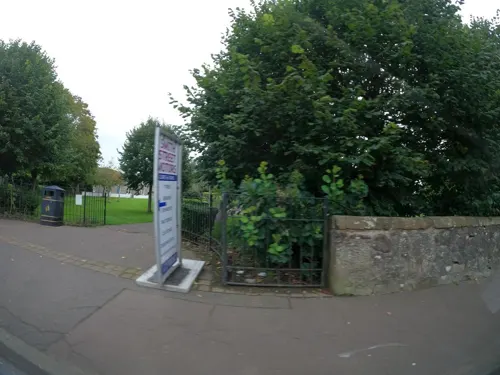

Parks, trails and playgrounds9



Restaurants and cafes23
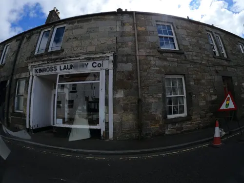
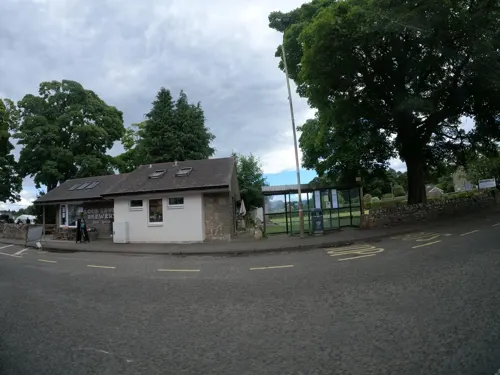
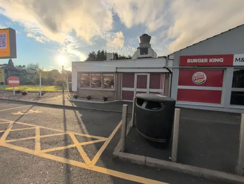




11 more on the map.
Where to stay5


History
Kinross's origins are connected with the nearby Loch Leven and its islands whose history goes back to the 5th century AD. Kinross developed as a staging post on the Great North Road from North Queensferry to Perth. In time, local industry developed and by the early 18th century the town had grown to a population of around 600 people. By the mid-19th century, a thriving wool weaving industry had emerged. Kinross Town Hall was completed in 1841.
From the History section of Kinross on Wikipedia, under CC BY-SA 4.0.
More about Kinross
Arts and culture
The burgh (red on the map) is located on the shores of Loch Leven (blue on the map). There are boat trips around the loch and to Lochleven Castle, where Mary, Queen of Scots was held prisoner in 1567.
Up to 2014 the annual T in the Park music festival, which was officially replaced by TRNSMT festival in Glasgow Green, was held nearby, at the former RAF Balado Bridge airfield. This was also the location of a now decommissioned NATO ICBM early warning radar, and until the late 1950s was a training base for the Royal Air Force.
From the Wikipedia article Kinross, under CC BY-SA 4.0.
Notable people from Kinross
- Charlie DuncanScottish footballer (1889-?)
- Eilidh GibsonBritish slalom canoeist
- Johnjo KennyIrish male curler and coach
- Chloé WebsterScottish actor
- John WilliamsonScottish mathematician (1901-1949)
- Alastair DowellScottish cricketer (1920-2010)
- Peter LeitchScottish soldier (1820–1892); recipient of the Victoria Cross
Born in Kinross, according to Wikidata (CC0). Each name links to its Wikipedia article.
Churches and places of worship4
Shopping5
Gas and EV charging3
Schools, colleges and libraries4
Healthcare3
Map of Kinross
66 places. The map loads OpenStreetMap tiles when you open it.
Getting there and nearby towns
Perth Airport (PSL) is the nearest airport with scheduled flights listed in OpenStreetMap, 16 miles away.
- Milnathort 2 mi north, about 2 min by car
- Cowdenbeath 7 mi southeast, about 11 min by car
- Lochgelly 7 mi southeast, about 11 min by car
- Kinglassie 7 mi east, about 12 min by car
- Leslie 8 mi east, about 13 min by car
- Townhill 8 mi south, about 13 min by car
- Dunfermline 9 mi south, about 15 min by car
- Falkland 9 mi east, about 14 min by car
- Glenrothes 10 mi east, about 15 min by car
- Kirkcaldy 12 mi southeast, about 19 min by car
Drive times are estimates from straight-line distance, not routes.
Towns near Kinross


Keep exploring
Local news
Headlines from INDB.
Reviews, tips and questions
Loading what members have shared...
Sources and licences
- GeoNames (CC BY 4.0): population, coordinates, regions and time zone
- Mapillary (see each image): photos
- OpenStreetMap contributors (ODbL 1.0): places, airports, map data
- Wikidata (CC0 1.0): elevation, founding date, time zone, website, landmarks and historic places
- Wikimedia Commons (see each image): photos
- Wikipedia (CC BY-SA 4.0): overview and history text
Photo credits
- Saint’s, St Andrews (Saint Serf’s Priory), Lirazelf, CC BY-SA 4.0
- Lochleven Castle 01, Otter, CC BY-SA 3.0
- Lochleven west wall, Jonathan Oldenbuck, CC BY-SA 3.0
- Street-level photo, ccbb7766, CC BY-SA 4.0
- Street-level photo, hobgoblin, CC BY-SA 4.0
- Street-level photo, hobgoblin, CC BY-SA 4.0
- Street-level photo, hobgoblin, CC BY-SA 4.0
- Street-level photo, coetserw, CC BY-SA 4.0
- Street-level photo, hobgoblin, CC BY-SA 4.0
- Street-level photo, ccbb7766, CC BY-SA 4.0
- Street-level photo, hobgoblin, CC BY-SA 4.0
- Street-level photo, hobgoblin, CC BY-SA 4.0
- Street-level photo, hobgoblin, CC BY-SA 4.0
- Street-level photo, hobgoblin, CC BY-SA 4.0
- Street-level photo, hobgoblin, CC BY-SA 4.0
- Street-level photo, hobgoblin, CC BY-SA 4.0
- Street-level photo, coetserw, CC BY-SA 4.0
- Street-level photo, hobgoblin, CC BY-SA 4.0
- Street-level photo, hobgoblin, CC BY-SA 4.0
Page built November 10, 2026. Spotted a mistake? Tell us or suggest a place.