


Lochgelly, United Kingdom
Lochgelly is a town of 6,586 people in Scotland, United Kingdom.
Why visit Lochgelly
Townapedia lists 13 museums and landmarks, 13 parks and trails, 18 places to eat and 3 attractions in and around town.
Highlights include Nardone's Academy of Performing Arts, Lumphinnans War Memorial, Cowdenbeath Golf Course and Lochgelly Golf Club.
Weather in Lochgelly
Forecast from MET Norway (CC BY 4.0). Full forecast
About Lochgelly
Lochgelly ( ; Scottish Gaelic: Loch Gheallaidh, IPA:[ˈɫ̪ɔxˈʝaɫ̪ai]) is a town in Fife, Scotland. It is located between Lochs Ore and Gelly to the north-west and south-east respectively. It is separated from Cowdenbeath by the village of Lumphinnans. According to the 2007 population estimate, the town has a population of 6,834.
From the Wikipedia article Lochgelly (this version), under CC BY-SA 4.0.
Things to do3
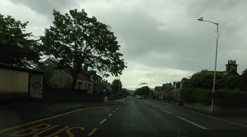


Museums and landmarks13
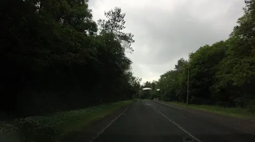
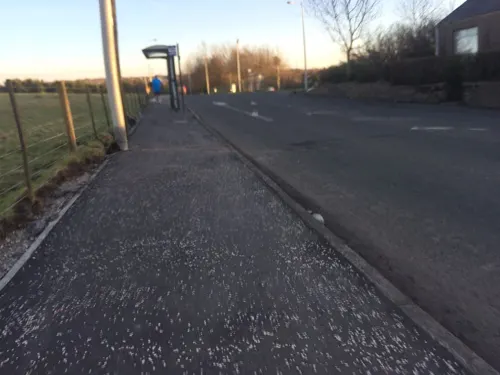

1 more on the map.
Parks, trails and playgrounds13



1 more on the map.
Restaurants and cafes18




Marmaris Pizza
Fast food · Pizza, Burger
3 Knockhill Close, Lochgelly
Tu-Th 16:00-22:00; Fr-Sa 16:00-23:00; Su 16:00-22:00
6 more on the map.
History
Lochgelly, as part of the old parliamentary constituency of West Fife, was known as "Little Moscow" up to the 1950s owing to its Communist political leanings.
An area of Lochgelly was known as the Happy Lands (or Happy Valley) and is referred to in the Scottish folk song 'The Kelty Clippie'.
The town is served by Lochgelly railway station on the line between Edinburgh and Markinch.
From the History section of Lochgelly on Wikipedia, under CC BY-SA 4.0.
More about Lochgelly
Economy
In the 1970s new investment was brought in the form of a factory and development office built by the Andrew Corporation. This created microwave antennae under the banner of Andrew Antennas, symbolised by a red lightning flash on the dishes they made. These dishes were primarily for commercial and military usage. The firm located at the end of "The Avenue" on the south-east side of the village. Adjoining fields were used for testing new equipment.
Lochgelly is also the home of the most reputed firm that produced tawses, John Dick (Saddlers), and was hence a synonym for that typically Scottish device for corporal punishment.
From the Wikipedia article Lochgelly, under CC BY-SA 4.0.
Notable people from Lochgelly
 Joe TemperleyScottish jazz saxophonist (1929–2016)Photo: Ed Newman, CC BY 2.0
- Alexander WoodAmerican soccer player (1907-1987)
- Jennie Lee, Baroness Lee of AsheridgeBritish politician (1904-1988)
- Andrew GrayBritish mathematician and physician
- Bob McKinlayScottish footballer (1932-2002)
- Archie DevineScottish footballer (1886-1964)
- George AitkenScottish football player (1925-2003)
- Thomas Lomar GrayBritish engineer (1850–1908)
- Jack HynesAmerican soccer player and coach (1920-2013)
- Willie RutherfordAustralian soccer player (1945-2010)
- Jim LeishmanScottish footballer and manager (born 1953)
- Bill PatrickScottish footballer (1932-2003)
Born in Lochgelly, according to Wikidata (CC0). Each name links to its Wikipedia article.
Churches and places of worship6
St. Finnian's Episcopal Church
Church · Episcopal · 0.6 mi
2 Viewfield Terrace, Lumphinnans
Shopping3
Schools, colleges and libraries6
Healthcare2
Map of Lochgelly
64 places. The map loads OpenStreetMap tiles when you open it.
Getting there and nearby towns
Edinburgh Airport (EDI) is the nearest airport with scheduled flights listed in OpenStreetMap, 12 miles away.
- Cowdenbeath 2 mi southwest, about 3 min by car
- Aberdour 5 mi south, about 8 min by car
- Kirkcaldy 6 mi east, about 9 min by car
- Townhill 6 mi southwest, about 9 min by car
- Dunfermline 7 mi southwest, about 11 min by car
- Glenrothes 7 mi northeast, about 11 min by car
- Thornton 7 mi northeast, about 11 min by car
- Rosyth 8 mi southwest, about 13 min by car
- Milnathort 8 mi northwest, about 13 min by car
- Markinch 8 mi northeast, about 14 min by car
Drive times are estimates from straight-line distance, not routes.
Towns near Lochgelly


Keep exploring
Local news
Headlines from INDB.
Reviews, tips and questions
Loading what members have shared...
Sources and licences
- GeoNames (CC BY 4.0): population, coordinates, regions and time zone
- Mapillary (see each image): photos
- OpenStreetMap contributors (ODbL 1.0): places, airports, map data
- Wikidata (CC0 1.0): elevation, founding date, time zone, website
- Wikimedia Commons (see each image): photos
- Wikipedia (CC BY-SA 4.0): overview and history text
Photo credits
- Lochgelly Nov08, AllyD ( talk ), Public domain
- Lochgelly railway station 1, Paul McIlroy, CC BY-SA 2.0
- Street-level photo, hobgoblin, CC BY-SA 4.0
- Street-level photo, hobgoblin, CC BY-SA 4.0
- Street-level photo, hobgoblin, CC BY-SA 4.0
- Street-level photo, communitylinks, CC BY-SA 4.0
Page built November 10, 2026. Spotted a mistake? Tell us or suggest a place.