
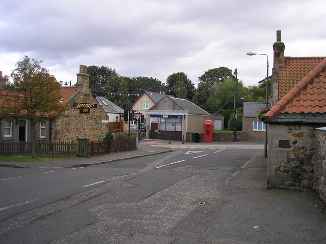


Longniddry, United Kingdom
Longniddry is a town of 2,430 people in Scotland, United Kingdom.
Why visit Longniddry
Townapedia lists 4 museums and landmarks, 5 parks and trails, 7 places to eat, 2 places to stay and 2 attractions in and around town.
Highlights include Longniddry Bents, Seton Sands, Gosford House and Myreton Motor Museum.
Weather in Longniddry
Forecast from MET Norway (CC BY 4.0). Full forecast
About Longniddry
Longniddry (Scots: Langniddry, Scottish Gaelic: Nuadh-Treabh Fada) is a coastal village in East Lothian, Scotland, with an estimated population of
From the Wikipedia article Longniddry (this version), under CC BY-SA 4.0.
Photos of Longniddry


Things to do2


Museums and landmarks4

Gosford House
Museum · 1.6 mi
Country house near Longniddry in East Lothian, Scotland, UK

Myreton Motor Museum
Museum · 3.3 mi
Transport museum in East Lothian, Scotland, UK

Parks, trails and playgrounds5



Restaurants and cafes7
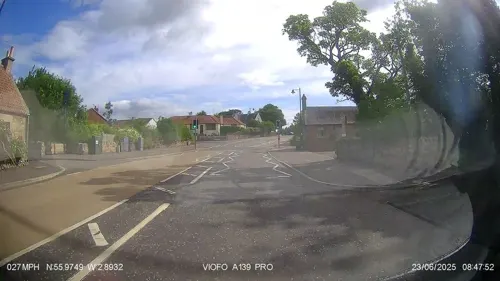
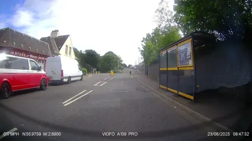



Superfry @ Longniddry
Fast food · Fish And Chips
29 Links Road, Longniddry
History
The 18th century Gosford House, which is the seat of the Earl of Wemyss and March, stands on the eastern edge of the village.
In 1917 the first meeting of the Scottish Women's Rural Institute took place in Longniddry organised by Catherine Hogg Blair. 37 women became members.
In 2006, Longniddry and the neighbouring towns of Prestonpans, Cockenzie and Port Seton were twinned with the town of Barga, Tuscany, Italy.
A major extension to the village was built in the 2020s, designed by Ben Pentreath.
From the History section of Longniddry on Wikipedia, under CC BY-SA 4.0.
Notable people from Longniddry
- Mollie HunterScottish children's writer (1922-2012)
- Margaret Gillies BrownScottish poet and author
Born in Longniddry, according to Wikidata (CC0). Each name links to its Wikipedia article.
Where to stay2
Churches and places of worship3
Schools, colleges and libraries2
Healthcare2
Map of Longniddry
27 places. The map loads OpenStreetMap tiles when you open it.
Getting there and nearby towns
Edinburgh Airport (EDI) is the nearest airport with scheduled flights listed in OpenStreetMap, 18 miles away.
- Tranent 3 mi southwest, about 5 min by car
- Aberlady 3 mi northeast, about 4 min by car
- Prestonpans 3 mi west, about 6 min by car
- Ormiston 5 mi south, about 7 min by car
- Musselburgh 6 mi west, about 10 min by car
- Whitecraig 7 mi southwest, about 11 min by car
- Dalkeith 9 mi southwest, about 14 min by car
- Mayfield 9 mi southwest, about 15 min by car
- North Berwick 9 mi northeast, about 14 min by car
- Edinburgh 12 mi west, about 19 min by car
Drive times are estimates from straight-line distance, not routes.
Towns near Longniddry


Keep exploring
Local news
Headlines from INDB.
Reviews, tips and questions
Loading what members have shared...
Sources and licences
- GeoNames (CC BY 4.0): population, coordinates, regions and time zone
- Mapillary (see each image): photos
- OpenStreetMap contributors (ODbL 1.0): places, airports, map data
- Wikidata (CC0 1.0): elevation, founding date, time zone, website, landmarks and historic places
- Wikimedia Commons (see each image): photos
- Wikipedia (CC BY-SA 4.0): overview and history text
Photo credits
- Links Road, Longniddry, Sandy Gemmill, CC BY-SA 2.0
- Longniddry Parish Church 03, Auldcathy, CC BY-SA 4.0
- Longniddry Parish Church 05, Auldcathy, CC BY-SA 4.0
- Longniddry Parish Church 02, Auldcathy, CC BY-SA 4.0
- Longniddry Parish Church 04, Auldcathy, CC BY-SA 4.0
- Longniddry Parish Church 01, Auldcathy, CC BY-SA 4.0
- Longniddry Parish Church 06, Auldcathy, CC BY-SA 4.0
- Gosford House, near Longniddry, East Lothian, Scotland-16Oct2011, Magnus Hagdorn, CC BY-SA 2.0
- Myreton Motor Museum, DeFacto, CC BY-SA 3.0
- Seton Collegiate Church, near Tranent 01, Mainlymazza, CC BY-SA 4.0
- Tranent Parish Church, james denham, CC BY-SA 2.0
- Redhouse Castle, Renata ( talk ), Public domain
- Longniddry No.3, Renata ( talk ), Public domain
- Seton sands west, Shadercok at English Wikipedia, Public domain
- Reading Room 17 October 2020 plaque 2, Adamcoulson, CC BY-SA 4.0
- Reading Room 17 October 2020 plaque 1, Adamcoulson, CC BY-SA 4.0
- Reading Room 17 October 2020 wide, Adamcoulson, CC BY-SA 4.0
- Street-level photo, southglos, CC BY-SA 4.0
- Street-level photo, IpswichEdits, CC BY-SA 4.0
- Street-level photo, IpswichEdits, CC BY-SA 4.0
- Street-level photo, IpswichEdits, CC BY-SA 4.0
- Street-level photo, rudolfmayer, CC BY-SA 4.0
- Street-level photo, southglos, CC BY-SA 4.0


Page built November 10, 2026. Spotted a mistake? Tell us or suggest a place.