


Prestonpans, United Kingdom
Prestonpans is a town of 9,490 people in Scotland, United Kingdom.
Why visit Prestonpans
Townapedia lists 29 museums and landmarks, 11 parks and trails, 40 places to eat, 2 places to stay and 4 attractions in and around town.
Highlights include Brunton Theatre, Longniddry Bents, Prestongrange Mining Museum and Prestongrange Museum.
Weather in Prestonpans
Forecast from MET Norway (CC BY 4.0). Full forecast
About Prestonpans
Prestonpans ( Scottish Gaelic: Baile an t-Sagairt, Scots: The Pans) is a mining town, situated approximately eight miles east of Edinburgh, Scotland, in the council area of East Lothian. The population as of 2020 is
From the Wikipedia article Prestonpans (this version), under CC BY-SA 4.0.
Photos of Prestonpans


Things to do4

Brunton Theatre
Cinema and theater · 3.2 mi
Theatre in Musselburgh, Scotland



Museums and landmarks29

Prestongrange Museum
Museum · 0.7 mi
Industry museum in Prestongrange, Scotland, United Kingdom



Inveresk Roman Fort
Monument and historic site · 3.3 mi
Ancient Roman structure in East Lothian, Scotland, UK
Chalmers Memorial Church Hall
Monument and historic site · 1.1 mi
Edinburgh Road, Port Seton
Battle of Prestonpans Memorial (Government Soldiers)
Monument and historic site · 0.9 mi
17 more on the map.
Parks, trails and playgrounds11

Royal Musselburgh Golf Course
Golf course · 0.9 mi
18 hole Par 73
Open in Google Maps · Wikipedia · +44 1875 810139;+44 1875 810276


Restaurants and cafes40




28 more on the map.
History
According to legend Prestonpans was founded in the 11th century by a traveller named Althamer, who became shipwrecked on the local beach/coastal area. Finding it impossible to get home, the survivors of the wreck decided to remain where they were and founded a settlement named "Althamer" in honour of their leader. The monks of Newbattle and Holyrood arrived in the district in the 12th century and, by 1198, were undertaking salt manufacturing using pans on the seashore: the settlement, which had been named "Althamer" was renamed "Prestonpans". Preston Tower, an L-plan keep, was built by the Hamilton Family in the mid-15th century.
One of the first post-Reformation churches was built in Prestonpans in 1596, for and at the expense of the new minister, John Davidson. The church was greatly re-modelled in 1774. Ten years after the original building of the new church, Prestonpans became a Parish in its own right, having previously formed part of the Parish of Tranent. Prestonpans Town Hall was completed in 1897.
A war memorial, which commemorates the lives of local service personnel who died in the First World War, Second World War and the Spanish Civil War, stands near the town centre but is slightly obscured by the flanking buildings. It takes the form of a Scottish soldier in a Tam o' Shanter bonnet and greatcoat sculpted by William Birnie Rhind in 1921.
Read more of the history
Salt panning was a very important industry in the early history of Prestonpans. By the beginning of the fifteenth century there were 10 salt works belonging to the town capable of producing between 800 and 900 bushels of salt per week. However, Prestonpans was not a one-industry town, and many other industries flourished in Prestonpans and contributed towards the town's growth. The discovery and mining of coal by the Newbattle monks in the early thirteenth century was arguably the first instance of coal mining in Britain. The mining of coal in Prestonpans began in the year 1210, and continued for centuries.
Prestonpans at one point, had many breweries, all of which have now closed. The oldest brewery in Prestonpans belonged to the Fowler family and was built in 1720. The Fowlers obtained it in 1774 and it was in production into the 20th century. There was also a soap works in the town known as James Mellis and Co.
The town was served, for several hundred years, by the harbour at nearby Prestongrange, known as Morrison's Haven or "Acheson's Haven". Fishing boats sailed from the harbour and herring was the most important catch. The harvesting of oysters was a lucrative industry up to the early twentieth century.The Annual Reports of the Fishery Board for Scotland provide an insight into the decline of fishing in Prestonpans in the years before the First World War.
The Battle of Prestonpans (also known as the Battle of Gladsmuir) was the first significant conflict in the second Jacobite Rising. The battle took place on 21 September 1745. The Jacobite army loyal to James Francis Edward Stuart and led by his son Charles Edward Stuart defeated the army loyal to the Hanoverian George II led by Sir John Cope. The victory was a huge morale boost for the Jacobites, and a greatly mythologised version of the story entered art and legend. A memorial to the Battle of Prestonpans in the form of a modest stonemason-built cairn sits close to the battle site.
An earlier (and tellingly, much larger and more impressive) monument to Colonel James Gardiner, a Hanoverian who was mortally wounded on the field of battle, was also erected in 1853 near Bankton House where the Colonel lived. It was sculpted by Alexander Handyside Ritchie. A memorial in the parish church commemorates "John Stuart of Phisgul...barbarously murdered by four Highlanders near the end of the Battle".
In 2006, the Battle of Prestonpans (1745) Heritage Trust was established on the initiative of the local people to ensure much better presentation and interpretation. It attracted private and Heritage lottery funding to achieve some of its initial goals.
In 2008 the Trust commissioned Glasgow University Archaeological Research Division ("GUARD") to undertake a comprehensive survey, followed by selective excavation, of the battlefield. Although the site of the main battlefield is readily located today, fixed by such surviving features as the tramway embankment, interim findings announced in April 2010 indicate that the true site of the Highlanders' charge, based on concentrations of musket balls and other evidence, is 500 yards to the east of the accepted location (55°57′50″N 2°56′49″W). The battlefield has been inventoried and protected by Historic Scotland under the Scottish Historical Environment Policy of 2009.
Controversy arose after it became clear that battlefields lack legal protections: in 2014, East Lothian Council granted planning consent to develop a substation for a large offshore windfarm on the site. Historic Scotland eventually took the view that such activities would have a minimal impact and withdrew their objections.
The battlefield benefits from a pyramidal viewpoint sculpted from an old coal bing at Meadowmill, atop which flies Prince Charlie's battle flag to mark where a series of interpretation boards can be found. There are a further seven information panels around the battlefield, regular guided walks and commemorative events. With support from Bord na Gaidhlig road and walkway signage now includes the Gaelic which was spoken by the majority of Highlanders at the battle. The Doocot at Bankton House now acts as an interpretation site for the life of Colonel Gardiner.
From the History section of Prestonpans on Wikipedia, under CC BY-SA 4.0.
More about Prestonpans
Education
The town has two primary schools, Preston Tower Primary School and St, Gabriels and the comprehensive Preston Lodge High School.
From the Wikipedia article Prestonpans, under CC BY-SA 4.0.
Notable people from Prestonpans
 William FergussonBritish Baronet (1808–1877)Photo: Barraud & Jerrard, Photographers, Public domain
 Henry CraikScottish hebraist, theologian and preacher (1805–1866)Photo: I created the scan, the photographer..., Public domain
 Danny FergusonScottish footballer (1939-1977)Photo: msh210, Public domain
 Laurie HaigNew Zealand rugby union player (1922-1992)Photo: Unknown (Crown Studios of Wellington), Public domain
- Josh TaylorScottish boxer
- Eddie ColquhounScottish footballer
- David Douglas CunninghamBritish doctor
- Eddie ConnachanScottish footballer (born 1935)
- Tam PatonBritish businessman (1938-2009)
- Derek GriersonScottish footballer (1931-2011)
- John HorsburghScottish engraver (1791-1869)
- Margaret PatonBritish missionary
Born in Prestonpans, according to Wikidata (CC0). Each name links to its Wikipedia article.
Where to stay2
Churches and places of worship11
Chalmers Memorial
Church · Church Of Scotland · 1.2 mi
Edinburgh Road, Port Seton
Shopping5
Gas and EV charging4
Schools, colleges and libraries9
Healthcare6
Map of Prestonpans
121 places. The map loads OpenStreetMap tiles when you open it.
Getting there and nearby towns
Edinburgh Airport (EDI) is the nearest airport with scheduled flights listed in OpenStreetMap, 15 miles away.
- Tranent 1 mi southeast, about 2 min by car
- Musselburgh 3 mi southwest, about 5 min by car
- Whitecraig 4 mi southwest, about 6 min by car
- Dalkeith 6 mi southwest, about 9 min by car
- Mayfield 6 mi south, about 10 min by car
- Aberlady 6 mi northeast, about 9 min by car
- Edinburgh 8 mi west, about 13 min by car
- Bonnyrigg 8 mi southwest, about 12 min by car
- Bilston 10 mi southwest, about 16 min by car
- Roslin 10 mi southwest, about 16 min by car
Drive times are estimates from straight-line distance, not routes.
Towns near Prestonpans


Keep exploring
Local news
Headlines from INDB.
Reviews, tips and questions
Loading what members have shared...
Sources and licences
- GeoNames (CC BY 4.0): population, coordinates, regions and time zone
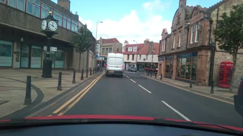
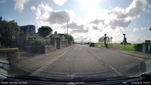
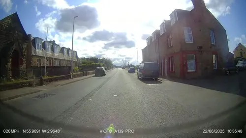
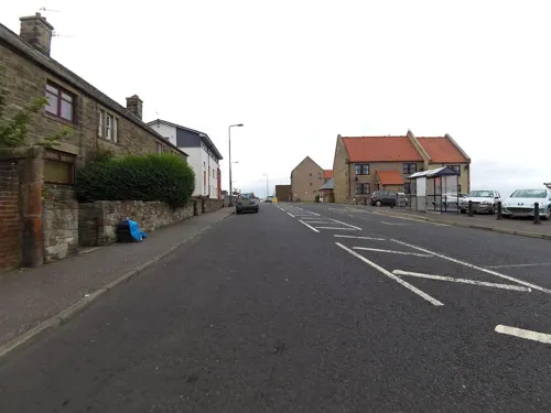
- Mapillary (see each image): photos
- OpenStreetMap contributors (ODbL 1.0): places, airports, map data
- Wikidata (CC0 1.0): elevation, founding date, time zone, website, landmarks and historic places
- Wikimedia Commons (see each image): photos
- Wikipedia (CC BY-SA 4.0): overview and history text
Photo credits
- Winfields from South East, East Loan, Prestonpans, Lauren Johnston-Smith, CC BY-SA 4.0
- Rose Cottage, East Loan, Prestonpans, Lauren Johnston-Smith, CC BY-SA 4.0
- Rose Cottage door and gate, East Loan, Prestonpans, Lauren Johnston-Smith, CC BY-SA 4.0
- Winfields house and door in wall from East side, East Loan, Prestonpans, Lauren Johnston-Smith, CC BY-SA 4.0
- Thomas Alexander's Monument, Kirk Wynd, Prestonpans - taken from east, Lauren Johnston-Smith, CC BY-SA 4.0
- Thomas Alexander's Monument, Kirk Wynd, Prestonpans - from north east, Lauren Johnston-Smith, CC BY-SA 4.0
- Thomas Alexander's Monument, Kirk Wynd, Prestonpans - looking north east, Lauren Johnston-Smith, CC BY-SA 4.0
- Thomas Alexander's Monument, Kirk Wynd, Prestonpans - from north, Lauren Johnston-Smith, CC BY-SA 4.0
- Brunton Theatre, Musselburgh (15842992781), John Lord from Edinburgh, Scotland, CC BY 2.0
- Tranent Parish Church, james denham, CC BY-SA 2.0
- Seton Collegiate Church, near Tranent 01, Mainlymazza, CC BY-SA 4.0
- Prestongrange windinggear, Renata ( talk ), Public domain
- PrestongrangeHouse07, Renata ( talk ), Public domain
- Preston Lodge High School - front view, Iaaiiinnnn ( talk ), Public domain
- Prestonpans War Memorial, Lauren Johnston-Smith, CC BY-SA 4.0
- Cockenzie Harbour at high tide looking north east, Adamcoulson, CC BY-SA 4.0
- Longniddry No.3, Renata ( talk ), Public domain
- Seton sands west, Shadercok at English Wikipedia, Public domain
- Morrison's Haven02, Renata ( talk ), Public domain
- Prestongrange Parish Church, Jimmydenham, Public domain
- Prestongrange Church - composite view from SE, Tom Parnell, CC BY-SA 4.0
- Prestongrange Church - view from S, Tom Parnell, CC BY-SA 4.0
- Prestongrange Church - view of church through gate, Tom Parnell, CC BY-SA 4.0
- To Cockenzie (16868999500), Tom Parnell from Scottish Borders, Scotland, CC BY-SA 2.0
- Preston Tower 03, DougRM, CC BY-SA 4.0
- Street-level photo, smsm1, CC BY-SA 4.0
- Street-level photo, southglos, CC BY-SA 4.0
- Street-level photo, IpswichEdits, CC BY-SA 4.0
- Street-level photo, IpswichEdits, CC BY-SA 4.0
- Street-level photo, victuallers, CC BY-SA 4.0
- Street-level photo, smsm1, CC BY-SA 4.0
- Street-level photo, hobgoblin, CC BY-SA 4.0
- Street-level photo, smsm1, CC BY-SA 4.0
- Street-level photo, smsm1, CC BY-SA 4.0
- Street-level photo, victuallers, CC BY-SA 4.0
- Street-level photo, hobgoblin, CC BY-SA 4.0
- Street-level photo, IpswichEdits, CC BY-SA 4.0
- Street-level photo, victuallers, CC BY-SA 4.0
- Street-level photo, smsm1, CC BY-SA 4.0
- Street-level photo, ccbb7766, CC BY-SA 4.0
- Street-level photo, southglos, CC BY-SA 4.0
- Street-level photo, hobgoblin, CC BY-SA 4.0
- Street-level photo, rudolfmayer, CC BY-SA 4.0
- Street-level photo, southglos, CC BY-SA 4.0
- Street-level photo, southglos, CC BY-SA 4.0
- Street-level photo, IpswichEdits, CC BY-SA 4.0
- Street-level photo, IpswichEdits, CC BY-SA 4.0
- Street-level photo, smsm1, CC BY-SA 4.0
- Street-level photo, victuallers, CC BY-SA 4.0
- Street-level photo, IpswichEdits, CC BY-SA 4.0
- Street-level photo, smsm1, CC BY-SA 4.0
- Street-level photo, IpswichEdits, CC BY-SA 4.0
- Street-level photo, ccbb7766, CC BY-SA 4.0
- Street-level photo, victuallers, CC BY-SA 4.0


Page built November 10, 2026. Spotted a mistake? Tell us or suggest a place.