


Pittenweem, United Kingdom
Pittenweem is a town of 1,490 people in Scotland, United Kingdom.
Why visit Pittenweem
Townapedia lists 16 museums and landmarks, 4 parks and trails, 27 places to eat and 7 places to stay in and around town.
Highlights include Scottish Fisheries Museum.
Weather in Pittenweem
Forecast from MET Norway (CC BY 4.0). Full forecast
About Pittenweem
Pittenweem is a fishing village and civil parish in Fife, on the east coast of Scotland. At the 2001 census, it had a population of 1,747.
From the Wikipedia article Pittenweem (this version), under CC BY-SA 4.0.
Museums and landmarks16
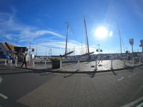
Scottish Fisheries Museum
Museum · 1.3 mi
Fishing museum in Fife, Scotland, United Kingdom
St Ayles Crescent, Anstruther
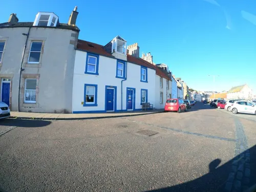

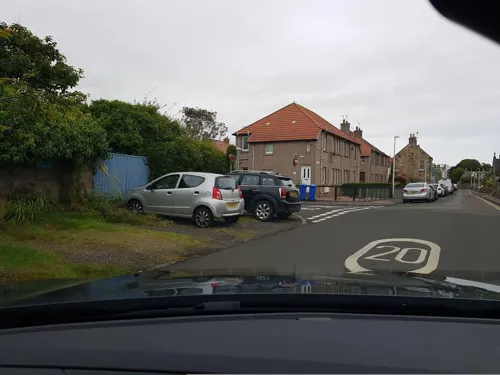


4 more on the map.
Parks, trails and playgrounds4



Restaurants and cafes27

Anstruther Fish Bar
Restaurant · Fish And Chips · 1.3 mi
42 - 44 Shore Street, Anstruther
Mo-Su 11:30-22:00
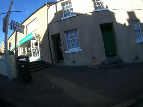
Bread and Butter Cafe
Cafe · 1.2 mi
5 Rodger Street
Mo-Su 09:00-16:00
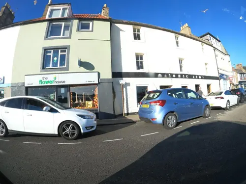
Eastern Touch at Anstruther
Restaurant · Indian · 1.2 mi
35 Cunzie Street, Anstruther
Tu-Su 16:30-22:00
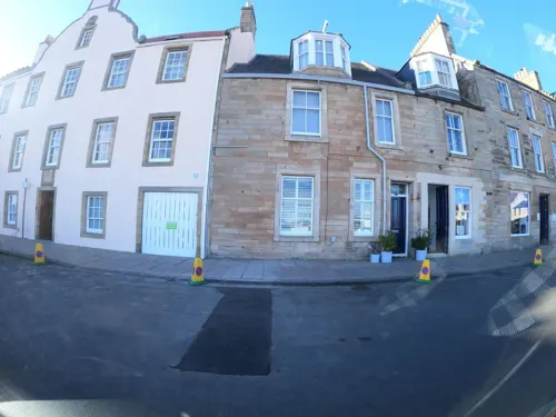
The Dory Bistro & Gallery
Restaurant · Fish
15 East Shore
We-Su 12:00-14:30,17:00-20:30
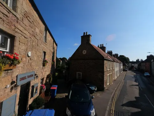
Dreel Tavern
Bar and pub · 1.0 mi
16 High Street West, Anstruther
We-Su 12:00-10:30

West Braes Project - Crazy Golf Hut
Cafe · Coffee Shop, Juice, Tea, Hot Chocolate, Snacks · 0.4 mi
May-Aug Mo-Su 11:00-17:00

The Rockies Restaurant
Restaurant · 0.9 mi
3 Shore Road, Anstruther
Apr-Oct: Mo-Su,PH 09:30-18:00+
15 more on the map.
Where to stay7


History
The settlement has existed as a fishing village since early medieval times. The oldest structure, St. Fillan's Cave, dates from the 7th century. An Augustinian priory moved here from the Isle of May in the 13th century, but there was already a church at that time. Pittenweem Parish Church (which is attached to the local tolbooth) has a Norman doorway dating to before 1200. The gatehouse to the east is 15th century. The priory dormitory and refectory was remodelled post-Reformation (1588) to give a new function as a manse. This building was later named the "Great House".
Until 1975 Pittenweem was a royal burgh, having been awarded the status by King James V (1513–42) in 1541.
Founded as a fishing village around a probably early Christian religious settlement, it grew along the shoreline from the west where the sheltered beaches were safe places for fishermen to draw their boats up out of the water. Later a breakwater was built, extending out from one of the rocky skerries that jut out south-west into the Firth of Forth like fingers. This allowed boats to rest at anchor rather than being beached, enabling larger vessels to use the port. A new breakwater further to the east was developed over the years into a deep, safe harbour.
Read more of the history
Unlike fisning ports further up the Forth, such as Buckhaven and Largo, fishing from Pittenweem continued to prosper in the years leading up to the First World War.
In 1779 John Paul Jones (founder of the American Navy) anchored half-a-mile off Pittenweem in the USS Bonhomme Richard.
There is a baronial Lordship of Pittenweem in the Baronage of Scotland created by James VI for Frederick Stewart in 1609. It was held by the Earls of Kellie until it passed to Sir John Anstruther and then to the Bairds of Elie. The current Lord is Claes Zangenberg.
From the History section of Pittenweem on Wikipedia, under CC BY-SA 4.0.
More about Pittenweem
Arts and culture
In the late 1960s the local fishermen celebrated the re-opening of the re-designed harbour with a Gala Day, when the boats were dressed overall and people could take short trips on the boats. By the early 1980s, however, increasing regulation, higher fuel costs and a shrinking fleet were bringing this event to its knees. In its place in 1982 sprang up an Arts Festival, which initially incorporated the Gala Day as its finale. The Arts Festival has moved on somewhat, however, becoming one of the best-loved art festivals in Scotland with an estimated 25,000 visitors in 2013. Many artists have re-discovered the charms and the light of the area, which was always popular with itinerant and hobby artists, and have moved to the village, creating a vibrant artistic community.
Pittenweem had the first newspaper in the area, the Pittenweem Register (1844–56).
There is also a fairly well-known song, "Pittenweem Jo", written in 1960.
Much of the 1997 film The Winter Guest was filmed in the village.
Education
Pittenweem Primary School is a traditional village school with its own playing fields on the northern side of the older part of the village. It caters for children aged 4/5 to 11/12. Secondary education (up to ages 16, 17 or 18 depending on educational ambitions) is provided at Waid Academy in the neighbouring town of Anstruther. The nearest private educational institution is St Leonards School in St Andrews, or the High School of Dundee.
From the Wikipedia article Pittenweem, under CC BY-SA 4.0.
Notable people from Pittenweem
 William Wilsonbishop (1806-1888)Photo: Anonymous Unknown author, Public domain
- Ian StewartBritish keyboardist (1938–1985)
- Wallace LindsayBritish classical scholar and palaeographer (1858-1937)
- Andy BowmanScottish footballer (1934-2009)
- Edwin WatsonScottish professional football player (1914–1944)
- Walter HughesAustralian philanthropist
- John SmithScottish clockmaker (1770-1816)
Born in Pittenweem, according to Wikidata (CC0). Each name links to its Wikipedia article.
Churches and places of worship3
Anstruther Parish Church
Church · Church Of Scotland · 1.3 mi
School Green, Anstruther
Shopping3
Gas and EV charging1
Schools, colleges and libraries8
Healthcare3
Map of Pittenweem
72 places. The map loads OpenStreetMap tiles when you open it.
Getting there and nearby towns
Leuchars Station (ADX) is the nearest airport with scheduled flights listed in OpenStreetMap, 12 miles away.
- Saint Monans 2 mi west, about 3 min by car
- Saint Andrews 9 mi north, about 15 min by car
- Methil 11 mi west, about 18 min by car
- Glenrothes 17 mi west, about 28 min by car
- Dunbar 17 mi southeast, about 27 min by car
- Kirkcaldy 18 mi west, about 29 min by car
- Dundee 20 mi northwest, about 32 min by car
- Carnoustie 20 mi north, about 32 min by car
- Tranent 21 mi southwest, about 33 min by car
- Edinburgh 26 mi southwest, about 41 min by car
Drive times are estimates from straight-line distance, not routes.
Towns near Pittenweem


Keep exploring
Local news
Headlines from INDB.
Reviews, tips and questions
Loading what members have shared...
Sources and licences
- GeoNames (CC BY 4.0): population, coordinates, regions and time zone
- Mapillary (see each image): photos
- OpenStreetMap contributors (ODbL 1.0): places, airports, map data
- Wikidata (CC0 1.0): elevation, founding date, time zone, website
- Wikimedia Commons (see each image): photos
- Wikipedia (CC BY-SA 4.0): overview and history text
Photo credits
- Pittenweem2, Ron Hann, CC BY-SA 2.0
- Sculptures, Pittenweem Arts Festival, SylviaStanley, CC BY-SA 4.0
- Anstrutherfishbar2, Robert Young, CC BY 2.0
- Anstruther Easter Parish Church, Margaret Hyland, CC BY-SA 3.0
- Clouds over Chalmers Lighthouse, Anstruther, Aidowl, CC BY-SA 4.0
- Anstruther Harbour by Marcok 2018-08-30 f03, Marcok, CC BY-SA 4.0
- Street-level photo, hobgoblin, CC BY-SA 4.0
- Street-level photo, hobgoblin, CC BY-SA 4.0
- Street-level photo, hobgoblin, CC BY-SA 4.0
- Street-level photo, hobgoblin, CC BY-SA 4.0
- Street-level photo, hobgoblin, CC BY-SA 4.0
- Street-level photo, hobgoblin, CC BY-SA 4.0
- Street-level photo, hobgoblin, CC BY-SA 4.0
- Street-level photo, hobgoblin, CC BY-SA 4.0
- Street-level photo, hobgoblin, CC BY-SA 4.0
- Street-level photo, drnoble, CC BY-SA 4.0
- Street-level photo, hobgoblin, CC BY-SA 4.0
- Street-level photo, hobgoblin, CC BY-SA 4.0
- Street-level photo, hobgoblin, CC BY-SA 4.0
- Street-level photo, hobgoblin, CC BY-SA 4.0
- Street-level photo, hobgoblin, CC BY-SA 4.0
- Street-level photo, toho, CC BY-SA 4.0
- Street-level photo, toho, CC BY-SA 4.0
- Street-level photo, drnoble, CC BY-SA 4.0
- Street-level photo, hobgoblin, CC BY-SA 4.0
- Street-level photo, toho, CC BY-SA 4.0
- Street-level photo, hobgoblin, CC BY-SA 4.0
- Street-level photo, hobgoblin, CC BY-SA 4.0
- Street-level photo, hobgoblin, CC BY-SA 4.0
- Street-level photo, hobgoblin, CC BY-SA 4.0
- Street-level photo, hobgoblin, CC BY-SA 4.0
- Street-level photo, hobgoblin, CC BY-SA 4.0
- Street-level photo, hobgoblin, CC BY-SA 4.0
- Street-level photo, hobgoblin, CC BY-SA 4.0
- Street-level photo, hobgoblin, CC BY-SA 4.0
- Street-level photo, hobgoblin, CC BY-SA 4.0
- Street-level photo, toho, CC BY-SA 4.0
- Street-level photo, hobgoblin, CC BY-SA 4.0
Page built November 10, 2026. Spotted a mistake? Tell us or suggest a place.