
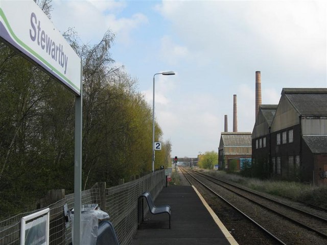

Stewartby, United Kingdom
Stewartby is a town of 1,190 people in England, United Kingdom.
Why visit Stewartby
Townapedia lists 2 museums and landmarks, 7 parks and trails, 8 places to eat, 1 place to stay and 1 attraction in and around town.
Highlights include Universal United Kingdom Resort, Katherine's Cross Ampthill Park, Cut-throat Meadow and Ampthill Park.
Weather in Stewartby
Forecast from MET Norway (CC BY 4.0). Full forecast
About Stewartby
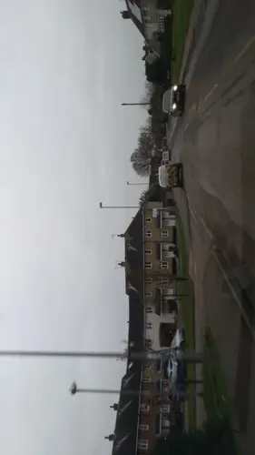
Stewartby is a model village and civil parish in Bedfordshire, England, originally built for the workers of the London Brick Company. The village was designed and built to the plans of the company's architect Mr F W Walker, laid out on 'Garden City' principle, a later and more modern development than such better-known Victorian model villages as Saltaire. Started in 1926, the village was then called Wootton Pillinge, Stewartby is also a later model than Woodlands which was first planned in 1905. The later retirement bungalow development of the 1950s and 1960s with the pavilion community centre in their midst was designed by the neo-Georgian architect Professor Sir Albert Richardson.
From the Wikipedia article Stewartby (this version), under CC BY-SA 4.0.
Things to do1

Universal United Kingdom Resort
Monument and historic site · 1.5 mi
Planned Universal Studios theme park in Bedford, England
Museums and landmarks2
Katherine's Cross Ampthill Park
Monument and historic site · 2.5 mi
Architectural structure in Ampthill, Central Bedfordshire, England, UK
Parks, trails and playgrounds7

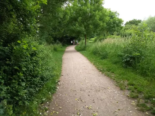

Ampthill Park
Park · 2.1 mi
Country house and former country estate in Ampthill, Bedfordshire, England, UK
Cooper's Hill
Park · 3.0 mi
Nature reserve in Bedfordshire, England, UK

Restaurants and cafes8
Marston Mega Fish and Chip Bar
Fast food · Fish And Chips · 1.5 mi
67C Bedford Road, Bedford




More about Stewartby
Education
Kimberley College is a sixth form centre which opened in Stewartby in September 2013.
There is a lower school in Stewartby called Broadmead Lower School, which was opened in 1965. The middle school is Marston Vale, which takes in children from the surrounding area.
From the Wikipedia article Stewartby, under CC BY-SA 4.0.
Where to stay1
Twin Lodge Bed & Breakfast
Motel and hotel · 1.5 mi
177 Lower Shelton Road, Marston Moretaine
Churches and places of worship3
Shopping3
Schools, colleges and libraries4
Healthcare1
Map of Stewartby
30 places. The map loads OpenStreetMap tiles when you open it.
Getting there and nearby towns
London Luton Airport (LTN) is the nearest airport with scheduled flights listed in OpenStreetMap, 15 miles away.
- Kempston Hardwick 1 mi northeast, about 2 min by car
- Houghton Conquest 2 mi east, about 3 min by car
- Ampthill 3 mi south, about 5 min by car
- Kempston 3 mi north, about 5 min by car
- Lidlington 3 mi southwest, about 4 min by car
- Bedford 5 mi northeast, about 8 min by car
- Flitwick 5 mi south, about 8 min by car
- Greenfield 5 mi southeast, about 8 min by car
- Silsoe 6 mi southeast, about 9 min by car
- Chicksands 7 mi east, about 11 min by car
Drive times are estimates from straight-line distance, not routes.
Towns near Stewartby


Keep exploring
Local news
Headlines from INDB.
Reviews, tips and questions
Loading what members have shared...
Sources and licences
- GeoNames (CC BY 4.0): population, coordinates, regions and time zone
- Mapillary (see each image): photos
- OpenStreetMap contributors (ODbL 1.0): places, airports, map data
- Wikidata (CC0 1.0): elevation, founding date, time zone, website, landmarks and historic places
- Wikimedia Commons (see each image): photos
- Wikipedia (CC BY-SA 4.0): overview and history text
Photo credits
- Stewartby railway station 1, M J Richardson, CC BY-SA 2.0
- Cut-Throat Meadow 3, Dudley Miles, CC BY-SA 4.0
- Street-level photo, adam2, CC BY-SA 4.0
- Street-level photo, adam2, CC BY-SA 4.0
- Street-level photo, wasd42, CC BY-SA 4.0
- Street-level photo, adam2, CC BY-SA 4.0
- Street-level photo, adam2, CC BY-SA 4.0
- Street-level photo, adam2, CC BY-SA 4.0
- Street-level photo, photomaps, CC BY-SA 4.0
Page built November 10, 2026. Spotted a mistake? Tell us or suggest a place.