


Thornton, United Kingdom
Thornton is a town of 2,110 people in Scotland, United Kingdom.
Why visit Thornton
Townapedia lists 6 museums and landmarks, 2 parks and trails, 18 places to eat, 3 places to stay and 1 attraction in and around town.
Highlights include The River Leven Suspension Bridge, Balbirnie Stone Circle, War Memorial and Riverside Park, Glenrothes.
Weather in Thornton
Forecast from MET Norway (CC BY 4.0). Full forecast
About Thornton
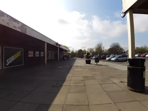
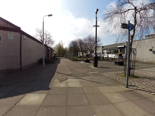
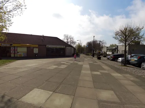
Thornton (Scots: Thorntoun) is a village in Fife, Scotland. It is between Kirkcaldy and Glenrothes, and stands between the River Ore and Lochty Burn, which are at opposite ends of the main street. The Church of Scotland parish church was built in 1835 and is located on the Main Street.
From the Wikipedia article Thornton, Fife (this version), under CC BY-SA 4.0.
Things to do1

The River Leven Suspension Bridge
Bridge · 2.9 mi
Bridge in Glenrothes, Fife, Scotland
Museums and landmarks6

Balbirnie Stone Circle
Monument and historic site · 3.3 mi
Archaeological site in Fife, Scotland


Parks, trails and playgrounds2


Restaurants and cafes18
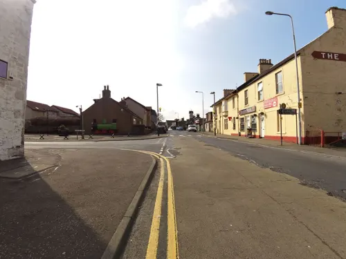
Debbie's Takeaway
Bakery
112 Main Street, Thornton
Mo-Fr 06:00-14:00; Sa 06:00-12:30
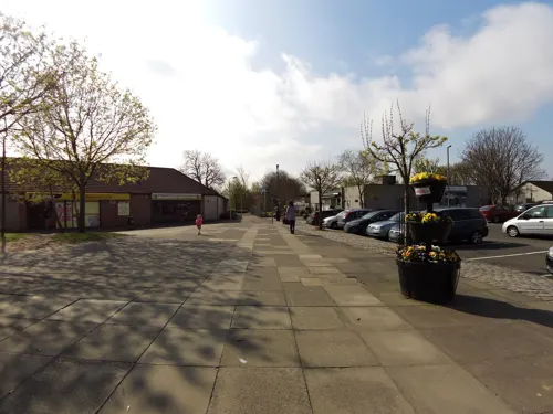
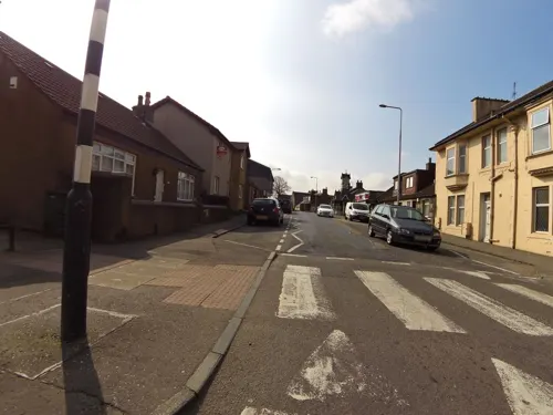
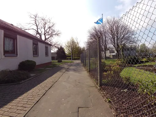

Balgonie Arms
Bar and pub · 1.5 mi
42 Main Street
Th 16:00-23:00, Fr 12:00-24:00, Sa 11:30-24:00, Su 12:00-23:00


6 more on the map.
More about Thornton
Arts and culture
The village used to hold a Highland Games annually every July. The event is not currently held as the organising committee have become inactive.
Thornton is also the birthplace of Sir George Sharp, a Labour politician who led the battle against local government reforms in the 1970s.
From the Wikipedia article Thornton, Fife, under CC BY-SA 4.0.
Notable people from Thornton
- Wilson LauderScottish rugby union player
Born in Thornton, according to Wikidata (CC0). Each name links to its Wikipedia article.
Where to stay3
Churches and places of worship4
Coaltown of Balgonie United Reformed Church
Church · United Reformed · 1.4 mi
Main Street, Coaltown of Balgonie
Shopping6
Gas and EV charging1
Schools, colleges and libraries2
Healthcare2
Map of Thornton
45 places. The map loads OpenStreetMap tiles when you open it.
Getting there and nearby towns
Edinburgh Airport (EDI) is the nearest airport with scheduled flights listed in OpenStreetMap, 17 miles away.
- Glenrothes 2 mi northwest, about 3 min by car
- Kirkcaldy 3 mi south, about 6 min by car
- Methil 5 mi east, about 8 min by car
- Falkland 6 mi north, about 10 min by car
- Ladybank 7 mi north, about 12 min by car
- Cowdenbeath 8 mi southwest, about 13 min by car
- Aberdour 10 mi southwest, about 16 min by car
- Dunfermline 14 mi southwest, about 22 min by car
- Rosyth 14 mi southwest, about 23 min by car
- Edinburgh 15 mi south, about 24 min by car
Drive times are estimates from straight-line distance, not routes.
Towns near Thornton


Keep exploring
Local news
Headlines from INDB.
Reviews, tips and questions
Loading what members have shared...
Sources and licences
- GeoNames (CC BY 4.0): population, coordinates, regions and time zone
- Mapillary (see each image): photos
- OpenStreetMap contributors (ODbL 1.0): places, airports, map data
- Wikidata (CC0 1.0): elevation, founding date, time zone, website, landmarks and historic places
- Wikimedia Commons (see each image): photos
- Wikipedia (CC BY-SA 4.0): overview and history text
Photo credits
- Thornton, Fife, Kevin Rae, CC BY-SA 2.0
- Balbirnie Stone Circle, Kilnburn ( talk ) 18:49, 18 June 2009 (UTC), Attribution
- Park at Glenrothes, User:Victuallers, CC BY-SA 1.0
- Stagecoach fife 27140 inside on 39A head to Glenrothes from Galton,Kirkcaldy (15335649011), Calum Cape from glenrothes , United Kingdom, CC BY 2.0
- DNA extraction from strawberries, Drkirstyross, CC BY-SA 4.0
- Street-level photo, smsm1, CC BY-SA 4.0
- Street-level photo, smsm1, CC BY-SA 4.0
- Street-level photo, smsm1, CC BY-SA 4.0
- Street-level photo, smsm1, CC BY-SA 4.0
- Street-level photo, smsm1, CC BY-SA 4.0
- Street-level photo, smsm1, CC BY-SA 4.0
- Street-level photo, smsm1, CC BY-SA 4.0
- Street-level photo, smsm1, CC BY-SA 4.0
- Street-level photo, smsm1, CC BY-SA 4.0
- Street-level photo, smsm1, CC BY-SA 4.0
Page built November 10, 2026. Spotted a mistake? Tell us or suggest a place.