


Woodbridge, United Kingdom
Woodbridge is a town of 11,200 people in England, United Kingdom.
Why visit Woodbridge
Townapedia lists 33 museums and landmarks, 25 parks and trails, 59 places to eat, 5 places to stay and 2 attractions in and around town.
Highlights include Riverside Theatre, Woodbridge Tide Mill, Woodbridge Museum and Adastral Park.
Weather in Woodbridge
Forecast from MET Norway (CC BY 4.0). Full forecast
About Woodbridge
Woodbridge is a port town and civil parish in the East Suffolk district of Suffolk, England. It is 8 miles (13 km) up the River Deben from the sea. It lies 7 miles (11 km) north-east of Ipswich and around 74 miles (119 km) north-east of London. In 2011 it had a population of 7,749.
From the Wikipedia article Woodbridge, Suffolk (this version), under CC BY-SA 4.0.
Travel tips from other travellers: Woodbridge on Wikivoyage (CC BY-SA 4.0).
Photos of Woodbridge

Things to do2
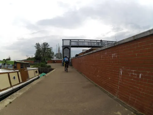

Museums and landmarks33

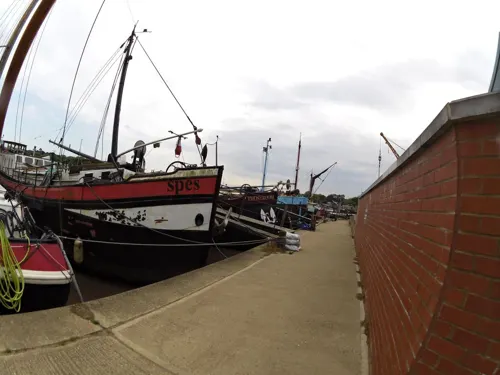

Lady Alice Kenlis
Monument and historic site
Ship hulk and scheduled monument in England

Sutton Hoo
Monument and historic site · 0.8 mi
Archaeological site near Woodbridge, Suffolk, England, UK

Woodbridge Tide Mill Museum
Museum
Tide mill and museum in Woodbridge, Suffolk, England, United Kingdom


21 more on the map.
Parks, trails and playgrounds25


Hutchison's Meadow
Park · 0.8 mi
Suffolk Wildlife Trust nature reserve


13 more on the map.
Restaurants and cafes59
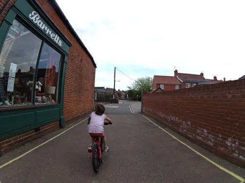
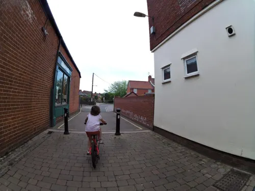
Caffè Nero
Cafe · Coffee Shop
38C Thoroughfare, Woodbridge
Mo-Fr 07:30-18:00; Sa 08:00-18:00; Su 08:30-17:00
Costa
Cafe · Coffee Shop
11A Thoroughfare, Woodbridge
Mo-Fr 08:00-18:00; Sa 08:00-17:00; Su 09:00-17:00

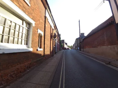
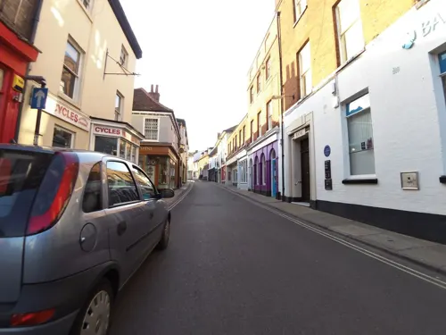
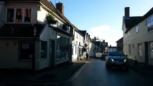


47 more on the map.
History
Archaeological finds point to habitation in the area from the Neolithic Age (2500–1700 BCE). A ritual site was found while excavations were made for the East Anglia Array, a wind farm at Seven Springs Field. The area was occupied by the Romans for 300 years after Queen Boudica's failed rebellion in 59 CE, but there is little evidence of their presence.
After the Roman forces were recalled to Rome in 410 CE, substantial Anglo-Saxon (Germanic) settlement ensued. The Angles gave their name to East Anglia.
King Rædwald of East Anglia was Bretwalda, the most powerful king in England in the early 7th century. He died in about 624 CE and is often associated with the burial at Sutton Hoo, across the River Deben from Woodbridge. The burial ship is 89 feet (27 m) long. The treasures discovered there in 1939 were the richest finds ever on British soil. They are held now in the British Museum in London, but replicas of some items and the story of the finds can be seen in the Woodbridge Museum. The National Trust has built a visitor centre on the site.
Read more of the history
The earliest record of Woodbridge as such dates from the mid-10th century, when it was acquired by St Aethelwold, Bishop of Winchester, as part of the endowment of a monastery he helped to refound at Ely, Cambridgeshire in 970. The Domesday Book of 1086 describes Woodbridge as part of Loes Hundred with 35 households, i.e. one of the largest 20 per cent of settlements recorded. Much of Woodbridge was granted to the powerful Bigod family, who built the castle at Framlingham.
The town has been a centre for boatbuilding, rope-making and sail-making since the Middle Ages. Edward III and Sir Francis Drake had fighting ships built in Woodbridge. The town suffered in the plague of 1349, but recovered enough, with encouragement from the Canons and growing general prosperity, to have a new church (St Mary's, behind the buildings on the south side of Market Hill) built of limestone from the Wash and decorated with Thetford flint. By the mid-15th century the Brews family had added a tower and porch.
On 12 October 1534, Prior Henry Bassingbourne confirmed Henry VIII's supremacy over the Church and rejected the incumbent "Roman Bishop". Nonetheless, Woodbridge Priory was dissolved three years later.
As religious unrest continued under the Roman Catholic Queen Mary, Alexander Gooch, a weaver of Woodbridge, and Alice Driver of Grundisburgh were burnt for heresy on Rushmere Heath. Alice had previously had her ears cut off for likening Queen Mary to Jezebel. Subsequent religious settlement under Elizabeth I helped Woodbridge industries such as weaving, sail-cloth manufacture, rope-making and salt making to prosper, along with the wool trade. The port was enlarged, and shipbuilding and the timber trade became lucrative, so that a customs house was established in 1589.
The town has various buildings of the Tudor, Georgian, Regency and Victorian periods, and a tide mill in working order, one of only two in the UK and among the earliest. The mill first recorded on the site in 1170 was run by Augustinian canons. In 1536 it passed to King Henry VIII. In 1564, Queen Elizabeth I granted the mill and the priory to Thomas Seckford, who in 1577 founded Woodbridge School and the Seckford Almshouses for the poor of Woodbridge. Two windmills survive, Buttrum's Mill, and Tricker's Mill, of which Buttrum's is open to the public.
In 1943, the Royal Air Force (RAF) built a military airfield east of Woodbridge. RAF Woodbridge was used during the Cold War by the United States Air Force as the base for two Tactical Fighter Squadrons until 1993.
From the History section of Woodbridge, Suffolk on Wikipedia, under CC BY-SA 4.0.
More about Woodbridge
Education
The town has state and grant-aided primary and secondary education at Farlingaye High School, Woodbridge Primary School, Kyson Primary School, and St Mary's Church of England Voluntarily Aided Primary School. The co-educational independent Woodbridge School has junior and senior departments and facilities for boarding.
Woodbridge has a community brass band, the Excelsior, formed in 1846, which makes it the oldest in East Anglia. There is a local radio station. The town also has a two-hectare (5-acre) walled park. Also of interest ecologically are the Quaker Burial Ground and Fen Meadow, 2.67 hectares (6.6 acres) of traditionally managed grassland.
From the Wikipedia article Woodbridge, Suffolk, under CC BY-SA 4.0.
Notable people from Woodbridge
 Brian EnoBritish musician, music producer, music theorist and visual artist (born 1948)Photo: How We Get To Next, CC BY 3.0
 Edward FitzGeraldEnglish poet and translator (1809–1883)Photo: Eva Rivett-Carnac , uploaded by user..., Public domain
 Luke RobertsBritish actor (1977-)Photo: Mateusz Malta, CC BY-SA 4.0
 Charlie SimpsonBritish musician, singer-songwriter and multi-instrumentalistPhoto: Rachel Jones, CC BY 2.0
 Barry PurvesEnglish animator, film director and puppet motion screenwriterPhoto: Chemical Engineer, CC BY-SA 4.0
 Margaret Olive Milne-RedheadBritish botanical illustrator (1904 - 1997)Photo: Margaret Olive Milne-Redhead, Public domain
- Frank MorleyBritish mathematician (1860–1937)
- Herbert Kenneth Airy ShawBritish biologist (1902-1985)
- John BrinkleyBishop of Cloyne; Royal Astronomer of Ireland; Irish Anglican bishop and astronomer
- Roger EnoBritish recording artist, musician, ambient music composer
- Rhett DaviesBritish record producer
- Searles Valentine WoodEnglish palaeontologist (1798–1880)
Born in Woodbridge, according to Wikidata (CC0). Each name links to its Wikipedia article.
Where to stay5
Churches and places of worship8
Shopping29
Gas and EV charging2
Schools, colleges and libraries8
St Mary's Church of England Primary School, Woodbridge
School · Anglican · 0.6 mi
Burkitt Road, Woodbridge
Healthcare3
Map of Woodbridge
174 places. The map loads OpenStreetMap tiles when you open it.
Getting there and nearby towns
RAF Honington (BEQ) is the nearest airport with scheduled flights listed in OpenStreetMap, 29 miles away.
- Grundisburgh 3 mi northwest, about 5 min by car
- Kesgrave 4 mi southwest, about 7 min by car
- Ipswich 7 mi west, about 12 min by car
- Colchester 23 mi southwest, about 36 min by car
- Norwich 37 mi north, about 59 min by car
- Chelmsford 44 mi southwest, about 1 h 15 min by car
- Southend-on-Sea 46 mi southwest, about 1 h 15 min by car
- Saint Peters 50 mi south, about 1 h 15 min by car
- Cambridge 52 mi west, about 1 h 30 min by car
- Basildon 52 mi southwest, about 1 h 30 min by car
Drive times are estimates from straight-line distance, not routes.
Towns near Woodbridge


Keep exploring
Local news
Headlines from INDB.
Reviews, tips and questions
Loading what members have shared...
Sources and licences
- GeoNames (CC BY 4.0): population, coordinates, regions and time zone
- Mapillary (see each image): photos
- OpenStreetMap contributors (ODbL 1.0): places, airports, map data
- Wikidata (CC0 1.0): elevation, founding date, time zone, website, landmarks and historic places
- Wikimedia Commons (see each image): photos
- Wikipedia (CC BY-SA 4.0): overview and history text
Photo credits
- Woodbridge Suffolk (3518509835), Martin Pettitt from Bury St Edmunds, UK, CC BY 2.0
- Woodbridge Suffolk (3519330878), Martin Pettitt from Bury St Edmunds, UK, CC BY 2.0
- Bromeswell Green 3, Dudley Miles, CC BY-SA 4.0
- Foxburrow Farm 8, Dudley Miles, CC BY-SA 4.0
- Hutchison's Meadow 1, Dudley Miles, CC BY-SA 4.0
- Sutton Hoo burial ground 5, User:Amitchell125, CC BY 3.0
- Woodbridge Tide Mill (1), Circuitsight at English Wikipedia, Public domain
- Roman Catholic Church of St Thomas of Canterbury, Lajmmoore, CC BY-SA 4.0
- Woodbridge - The Old Bell and Steelyard Inn, Tim Marchant, CC BY-SA 2.0
- Woodbridge - Church of St Mary (2), Martin Pettitt, CC BY 2.0
- Sutton Hoo burial site, Alex Healing, CC BY 2.0
- Adastral Park, Steven James Fosdick, CC BY-SA 4.0
- The Lady Alice Kenlis - 54659445244, Attila, CC BY 4.0
- Street-level photo, smsm1, CC BY-SA 4.0
- Street-level photo, smsm1, CC BY-SA 4.0
- Street-level photo, smsm1, CC BY-SA 4.0
- Street-level photo, IpswichEdits, CC BY-SA 4.0
- Street-level photo, smsm1, CC BY-SA 4.0
- Street-level photo, smsm1, CC BY-SA 4.0
- Street-level photo, smsm1, CC BY-SA 4.0
- Street-level photo, smsm1, CC BY-SA 4.0
- Street-level photo, smsm1, CC BY-SA 4.0
- Street-level photo, smsm1, CC BY-SA 4.0
- Street-level photo, smsm1, CC BY-SA 4.0
- Street-level photo, adam2, CC BY-SA 4.0
- Street-level photo, smsm1, CC BY-SA 4.0
- Street-level photo, smsm1, CC BY-SA 4.0
- Street-level photo, smsm1, CC BY-SA 4.0
- Street-level photo, smsm1, CC BY-SA 4.0
- Street-level photo, adam2, CC BY-SA 4.0
- Street-level photo, adam2, CC BY-SA 4.0
- Street-level photo, mappernerd, CC BY-SA 4.0
- Street-level photo, adam2, CC BY-SA 4.0
- Street-level photo, smsm1, CC BY-SA 4.0
- Street-level photo, smsm1, CC BY-SA 4.0
- Street-level photo, smsm1, CC BY-SA 4.0
- Street-level photo, smsm1, CC BY-SA 4.0
- Street-level photo, adam2, CC BY-SA 4.0
- Street-level photo, IpswichEdits, CC BY-SA 4.0
- Street-level photo, smsm1, CC BY-SA 4.0
- Street-level photo, smsm1, CC BY-SA 4.0
- Street-level photo, smsm1, CC BY-SA 4.0


Page built November 10, 2026. Spotted a mistake? Tell us or suggest a place.