

Why visit Manali
Townapedia lists 1 park or trail and 2 attractions in and around town.
Highlights include Moolakadai Junction, Tamil Nadu Veterinary and Animal Sciences University and Mathur MMDA Park.
Weather in Manali
Forecast from MET Norway (CC BY 4.0). Full forecast
About Manali
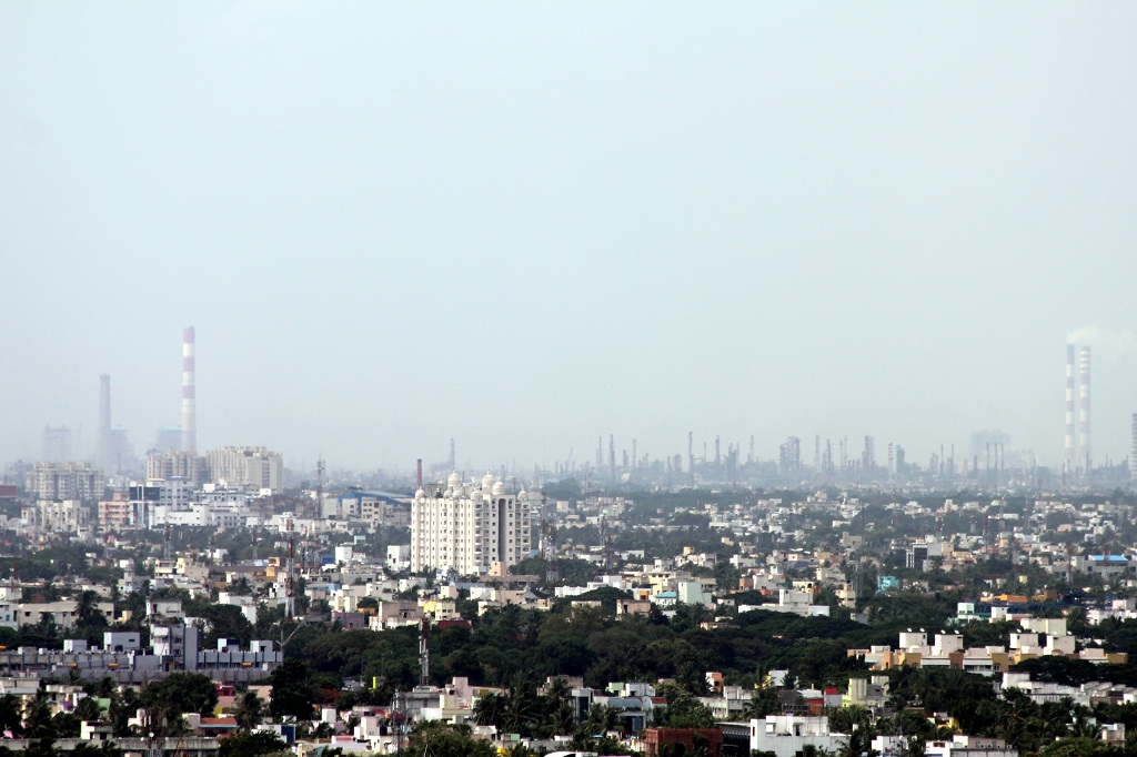
Manali is an industrial and residential part of Chennai, India. It is a zone in Greater Chennai Corporation located in the northern part of Chennai district in the Indian state of Tamil Nadu. As of 2011, the neighborhood had a population of 35,248.
From the Wikipedia article Manali, Chennai (this version), under CC BY-SA 4.0.
Things to do2


Tamil Nadu Veterinary and Animal Sciences University
School · 2.5 km
State public university in Thiruvallur, Tamil Nadu, India
Parks, trails and playgrounds1

Healthcare9


History
In October 2011, the erstwhile Manali municipality of Tiruvallur district merged with Greater Chennai Corporation and later became a part of Chennai district since August 2018.
From the History section of Manali, Chennai on Wikipedia, under CC BY-SA 4.0.
Map of Manali
12 places. The map loads OpenStreetMap tiles when you open it.
Getting there and nearby towns
Chennai International Airport (MAA) is the nearest airport with scheduled flights listed in OpenStreetMap, 22 km away.
- Tiruvottiyūr 4 km east, about 4 min by car
- Chennai 9 km south, about 9 min by car
- Ambattur 14 km southwest, about 14 min by car
- Avadi 18 km west, about 18 min by car
- Saint Thomas Mount 20 km southwest, about 20 min by car
- Poonamalle 21 km southwest, about 21 min by car
- Pallāvaram 25 km southwest, about 25 min by car
- Tambaram 31 km southwest, about 31 min by car
- Vandalūr 37 km southwest, about 37 min by car
- Kanchipuram 72 km southwest, about 1 h 15 min by car
Drive times are estimates from straight-line distance, not routes.
Local news
Headlines from INDB.
Reviews, tips and questions
Loading what members have shared...
Sources and licences
- GeoNames (CC BY 4.0): population, coordinates, regions and time zone
- OpenStreetMap contributors (ODbL 1.0): places, airports, map data
- Wikidata (CC0 1.0): elevation, founding date, time zone, website, landmarks and historic places
- Wikimedia Commons (see each image): photos
- Wikipedia (CC BY-SA 4.0): overview and history text
Photo credits
- Manali and Ennore 1, VtTN, CC BY-SA 3.0
Page built November 3, 2026. Spotted a mistake? Tell us or suggest a place.