


Why visit Āb‘alī
Townapedia lists 1 park or trail, 4 places to eat, 2 places to stay and 1 attraction in and around town.
Weather in Āb‘alī
Forecast from MET Norway (CC BY 4.0). Full forecast
About Āb‘alī
Abali (Persian: آبعلی) is a city in Rudehen District of Damavand County, Tehran province, Iran, serving as the administrative center for Abali Rural District. In 2005, the village of Abali merged with the village of Mobarakabad (مبارکآباد) and the population centers of Sarpulak (سرپولک) and Qaim Mahalleh (قایممحله) (also known as Qapuz Mahalleh [قاپوزمحله]) to form the city of Abali.
From the Wikipedia article Abali (this version), under CC BY-SA 4.0.
Things to do1

Parks, trails and playgrounds1

Restaurants and cafes4


Where to stay2


Churches and places of worship5
Gas and EV charging1
Map of Āb‘alī
14 places. The map loads OpenStreetMap tiles when you open it.
Getting there and nearby towns
Mehrabad International Airport (THR) is the nearest airport with scheduled flights listed in OpenStreetMap, 60 km away.
- Rūdehen 6 km southwest, about 6 min by car
- Pardīs 14 km west, about 14 min by car
- Āb Sard 23 km southeast, about 23 min by car
- Lavāsān 30 km west, about 30 min by car
- Pākdasht 41 km southwest, about 41 min by car
- Tajrīsh 49 km west, about 49 min by car
- Tehran 50 km west, about 50 min by car
- Pīshvā 55 km southwest, about 55 min by car
- Varāmīn 57 km southwest, about 57 min by car
- Bāqershahr 57 km southwest, about 57 min by car
Drive times are estimates from straight-line distance, not routes.
Local news
Headlines from INDB.
Reviews, tips and questions
Loading what members have shared...
Sources and licences
- GeoNames (CC BY 4.0): population, coordinates, regions and time zone
- Mapillary (see each image): photos
- OpenStreetMap contributors (ODbL 1.0): places, airports, map data
- Wikidata (CC0 1.0): elevation, founding date, time zone, website
- Wikimedia Commons (see each image): photos
- Wikipedia (CC BY-SA 4.0): overview and history text
Photo credits
- Well come in Abali ورود به آبعلی - panoramio, Mahdi Kalhor, CC BY 3.0
- Haraz Road, Mazandaran, Iran (43115799301), Ninara from Helsinki, Finland, CC BY 2.0
- Abali acidulated milk دوغ آبعلی - panoramio, Mahdi Kalhor, CC BY 3.0
- Abali Hotel هتل آبعلی - panoramio, Mahdi Kalhor, CC BY 3.0
- Ab ali Park بوستان آبعلی - panoramio, Mahdi Kalhor, CC BY 3.0
- Abali road جاده آبعلی در تجرک - panoramio, Mahdi Kalhor, CC BY 3.0
- Hotel Abali 1390 - panoramio, A.H Mansouri, CC BY-SA 3.0
- Wellcome to Mobarak Abad ورودی روستا - panoramio, Mahdi Kalhor, CC BY 3.0
- Mobarak Abad village مبارک آباد - panoramio, Mahdi Kalhor, CC BY 3.0
- Hotel Abali 01 - panoramio, A.H Mansouri, CC BY-SA 3.0
- Mobarak Abad bridge پل مبارک آباد - panoramio, Mahdi Kalhor, CC BY 3.0
- Shaghayegh in Abali - panoramio, A.H Mansouri, CC BY-SA 3.0
- Shaghayegh in Abali - panoramio (1), A.H Mansouri, CC BY-SA 3.0
- 2 shaghayegh - panoramio, A.H Mansouri, CC BY-SA 3.0
- Mobarak Abad view Abali road مبارک آبادوهزاردشت ازجاده آبعلی - panoramio, Mahdi Kalhor, CC BY 3.0
- Nice Houses,Mobarak Abad چشم اندازی از مبارک آباد - panoramio, Mahdi Kalhor, CC BY 3.0
- Haraz Road - Mobarakabad - panoramio, Alireza Javaheri, CC BY 3.0
- Top of hill, Abali جایگاهی مرتفع در کوهستان - panoramio, Mahdi Kalhor, CC BY 3.0
- Toranj restaurant,Abali رستوران ترنج - panoramio, Mahdi Kalhor, CC BY 3.0
- Nice garden,Mobarak Abad - panoramio, Mahdi Kalhor, CC BY 3.0
- Mobarak Abad street در خیابان مبارک آباد - panoramio, Mahdi Kalhor, CC BY 3.0
- پیست اسکی آبعَلی, Mahdinikkhah, CC BY-SA 4.0
- قریه آه, Unknown photographer Unknown photographer, Public domain
- New coffee shop^,Abali چایخانه تابستانی - panoramio, Mahdi Kalhor, CC BY 3.0
- Fit to be roasted,Abali کباب سرا - panoramio, Mahdi Kalhor, CC BY 3.0
- Two Lion, busy & sleep. یکی خواب ودیگری ناآرام - panoramio, Mahdi Kalhor, CC BY 3.0
- Ice-house,Mobarak Abad یخچال شهرداری - panoramio, Mahdi Kalhor, CC BY 3.0
- Hezar dasht,Mobarak Abad دورنمای هزاردشت - panoramio, Mahdi Kalhor, CC BY 3.0
- Iran - Haraz Road - Mosha - panoramio, Alireza Javaheri, CC BY 3.0
- Ice-house,Mobarak Abad یخچال قدیمی - panoramio, Mahdi Kalhor, CC BY 3.0
- The house in Hezardasht village ورودی هزاردشت - panoramio, Mahdi Kalhor, CC BY 3.0
- پیست اسکی آبعَلی 2, Mahdinikkhah, CC BY-SA 4.0
- Shops,Abali فروش تنقلات - panoramio, Mahdi Kalhor, CC BY 3.0
- Abali road,Mobarak Abad جاده آبعلی ازراهدارخانه - panoramio, Mahdi Kalhor, CC BY 3.0
- They will become alive on spring,Mobarak Abad انتظار تا رسیدن بهار - panoramio, Mahdi Kalhor, CC BY 3.0
- Contrasted,Mobarak Abad نیمی خشک ونیمی برفی - panoramio, Mahdi Kalhor, CC BY 3.0
- Abali ski pist,Mosha پیست اسکی آبعلی - panoramio, Mahdi Kalhor, CC BY 3.0
- Mosha plain کوه های دشت مشاء - panoramio, Mahdi Kalhor, CC BY 3.0
- Abali pist inside,Mosha اطراف پیست - panoramio, Mahdi Kalhor, CC BY 3.0
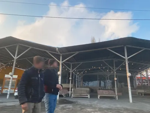
- Street-level photo, yeydihagnu, CC BY-SA 4.0
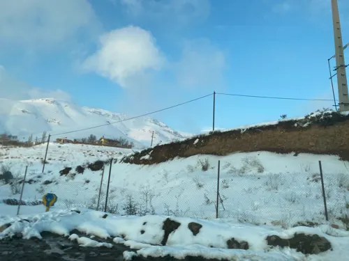
- Street-level photo, yeydihagnu, CC BY-SA 4.0
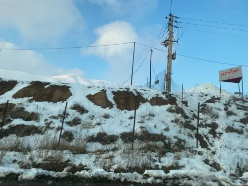
- Street-level photo, yeydihagnu, CC BY-SA 4.0
- Street-level photo, yeydihagnu, CC BY-SA 4.0


Page built November 8, 2026. Spotted a mistake? Tell us or suggest a place.